
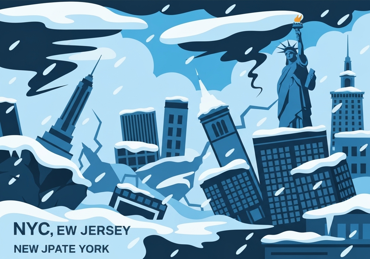
A powerful post-Christmas winter storm is sweeping the Northeast on December 26, 2025, bringing heavy snow and hazardous travel from Pennsylvania through New England. Forecast models show the snow reaching New York City Friday evening, with the city expected to see about 7 inches — the most in nearly four years — and heavier totals north and east. Freezing rain and an ice storm warning across parts of western Pennsylvania are creating dangerous roads and raising the risk of downed trees and power outages. Airports are already hard-hit: more than 1,400 flights were canceled on Friday, with New York City’s three airports and Philadelphia International among the worst affected.
Key Takeaways
- New York City is forecast to receive about 7 inches of snow beginning around 5 p.m. Friday and tapering off by about 7 a.m.; that would be the largest NYC snowfall in nearly four years.
- Six to 10 inches of snow are possible from upstate New York through Long Island, with localized higher amounts in colder pockets.
- Philadelphia is expected to see 1 to 3 inches of snow plus a glaze of freezing rain, creating slick conditions Friday night.
- More than 1,400 flights were canceled on Friday, with metropolitan New York airports and Philadelphia International reporting the most disruptions.
- Western Pennsylvania has ice storm warnings in effect and utility officials warn of possible power outages and downed trees where freezing rain accumulates.
- New Jersey has declared a state of emergency; New York state officials report snowplows and utility crews are on standby.
Background
Seasonal temperature contrasts this week have left a sharp gradient across the Northeast: cold air in the north is producing all-snow totals while milder, saturated air south of the boundary has favored freezing rain and glaze. The storm follows a busy holiday travel period, amplifying disruption because many roads and airports were handling elevated passenger volumes after Christmas. Urban centers such as New York City and Philadelphia are particularly vulnerable to mixed precipitation events, where brief periods of sleet or freezing rain can drastically reduce mobility and damage infrastructure. Local governments and transportation agencies typically pre-position plows and de-icing crews before these systems, but high-powered storms and rapid transitions between precipitation types complicate response planning.
In recent years the region has seen intermittent heavy winter storms; officials note that storm-to-storm variability is high, and single events do not reflect long-term trends by themselves. The interplay between coastal moisture, low-level warm air, and intruding cold air frequently determines whether an event will produce heavy wet snow, sleet, or prolonged freezing rain. Utility companies and road crews remain key stakeholders because outages and impassable roads increase public-safety risk and slow recovery. Emergency declarations, like New Jersey’s, allow state agencies to mobilize resources and restrict nonessential travel when necessary.
Main Event
The core of the storm moved into the tristate area Friday afternoon and continued to push northeast overnight, producing heavy, often wet snow where temperatures are below freezing. Meteorologists timed the onset in New York City around 5 p.m., with the bulk of accumulation expected through the overnight hours and ending near 7 a.m. Saturday. Upstate New York and Long Island were in the model’s higher-snow corridor, where 6 to 10 inches are possible and localized bands could exceed forecast amounts.
On the storm’s southern flank, freezing rain slid into Pennsylvania early Friday, coating roads with a dangerous layer of ice. An ice storm warning covered parts of western Pennsylvania, and utility companies warned that sustained freezing precipitation could lead to fallen limbs and power outages. Philadelphia’s forecast called for a light accumulation of 1 to 3 inches plus a glaze of ice, conditions that make evening commutes particularly hazardous.
Air travel faced immediate consequences: more than 1,400 flights were canceled Friday, with the New York area’s airports and Philadelphia International among the hardest hit. Airlines and airports adjusted schedules throughout the day and advised travelers to check flight status before departing for terminals. State and local authorities in New Jersey and New York moved to pre-deploy plowing and utility crews; New Jersey declared a state of emergency to enable faster resource allocation and, where necessary, travel restrictions.
Analysis & Implications
In the short term, the storm will primarily disrupt surface transportation and air travel during a high-travel period immediately after Christmas. Road closures, multi-hour delays and stranded motorists are plausible where heavy snow or freezing rain coincide with peak travel times. The cancellation of over 1,400 flights underscores how even modest accumulations can cascade across airline schedules and regional hubs, producing knock-on effects for connections nationwide.
Power infrastructure is a central concern where freezing rain is present. Ice accumulates on tree limbs and lines, increasing the likelihood of downed conductors and localized outages; utilities typically stage crews for rapid restoration, but access difficulties during the storm can prolong outages. Municipal budgets and emergency services will be tested by the need for overtime, debris removal and mutual-aid requests between neighboring jurisdictions.
Economically, urban centers can experience short-term slowdowns: delayed deliveries, reduced retail foot traffic, and lost labor hours if transit systems and commuter routes are impaired. For airports and airlines, the operational cost of cancellations and repositioning aircraft rises quickly, and travelers face the added time and expense of rebooking. Over the medium term, the storm’s impacts will depend on the speed of cleanup and restoration; well-coordinated municipal responses can limit ripple effects to critical services.
Comparison & Data
| Area | Forecast Snow (in) | Other Impacts |
|---|---|---|
| New York City | About 7 in | Evening onset ~5 p.m.; major urban travel disruptions |
| Upstate NY / Long Island | 6–10 in | Higher localized totals; heavier, plowable snow |
| Philadelphia | 1–3 in | Glaze of freezing rain; slick roads |
| Western Pennsylvania | Freezing rain | Ice storm warning; outage risk |
The table highlights the sharp north-south contrast in precipitation type and totals. While New York City sits near a forecast of roughly 7 inches, areas a short drive away can expect meaningfully different impacts: heavier plowable snow northward and hazardous ice southward. Flight-cancellation tallies (1,400+) reflect immediate operational disruption rather than final totals, which can rise as airlines reconcile schedules overnight.
Reactions & Quotes
“The state has snowplows and utility crews on standby,”
Gov. Kathy Hochul, quoted to WABC (local station)
Gov. Hochul’s statement, as reported to the WABC television station, emphasized readiness and resource pre-deployment across New York State to respond to snow and potential outages.
“Post-Christmas road travel [is] extremely dangerous in parts of the Northeast,”
ABC News (national media)
ABC News summarized the travel risk for the region; that assessment aligns with local advisories urging limited travel and caution for drivers encountering snow, sleet or ice.
Unconfirmed
- The final storm totals for many locations remain provisional until observations are collected; reported forecasts may shift with changing storm tracks.
- Precise counts of power outages and the final number of flight cancellations are evolving as utilities and airlines update assessments during and after the storm.
- Attribution of any single event to long-term climate trends is not determined here; such links require separate attribution studies.
Bottom Line
This post-Christmas storm poses a mix of heavy snow and hazardous freezing rain across the Northeast, producing the largest expected New York City snowfall in nearly four years and substantial travel disruption. Residents and travelers should expect dangerous road conditions, possible power outages where ice accumulates, and ongoing airport delays and cancellations; check local advisories and airline notifications before traveling.
Preparedness and measured response will determine the storm’s immediate human and economic toll: prompt plowing, careful driving, and rapid utility response can limit impacts, while prolonged ice or higher-than-forecast snow totals would extend recovery time. Authorities will update warnings and restoration timelines as new observations come in; those in affected areas should follow official guidance and avoid nonessential travel until conditions improve.
Sources
- ABC News (national media report on storm forecast and regional impacts)
- WABC / ABC7 New York (local television station cited for governor’s comments)
- FlightAware (flight tracking service for aggregated cancellation data)
- National Weather Service (official federal weather agency for watches, warnings and forecasts)