
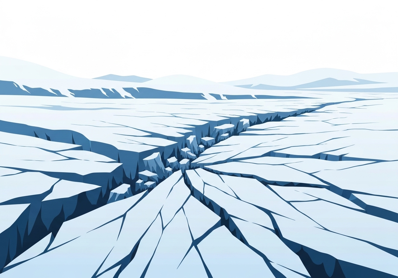
Lead: New research has identified hundreds of previously undetected seismic events beneath Antarctica between 2010 and 2023, concentrated on Thwaites Glacier — the so-called “Doomsday Glacier”. Scientists documented 362 glacial earthquakes across the continent, with 245 occurring near Thwaites, raising fresh concerns about the glacier’s stability and its contribution to global sea-level rise. The events are low-frequency, iceberg-related tremors often missed by global seismic networks but visible on Antarctic stations. Researchers say more targeted observations are needed to determine how these quakes relate to accelerating ice flow toward the ocean.
Key Takeaways
- Researchers cataloged 362 glacial earthquakes in Antarctica from 2010–2023, based on seismic records from Antarctic stations.
- Of those, 245 events occurred near Thwaites Glacier, a region that has seen ice flow roughly double over three decades and threatens up to 3 meters (10 feet) of sea-level rise if it collapses.
- Glacial earthquakes generate low-frequency waves and are typically around magnitude 5, making them harder to detect on global networks.
- Many Thwaites events align with episodes of accelerated ice-tongue motion toward the sea rather than with seasonal atmospheric warming.
- Additional events were recorded near Pine Island Glacier, located 30–50 miles (60–70 km) inland from the coast, whose origins remain unclear.
- The study used Antarctic seismic stations instead of relying solely on global detectors, uncovering hundreds of events that were previously uncataloged.
Background
Thwaites Glacier sits in West Antarctica and is one of the continent’s largest and most closely watched outlets. Nicknamed the “Doomsday Glacier,” its complete collapse has long been modeled as a potential driver of several meters of sea-level rise; more conservative estimates cite up to about 3 meters (10 feet) in worst-case scenarios. Over the past 30 years, studies have observed a marked increase in the rate of ice discharge from Thwaites, driven by ocean-driven melting at its base and structural thinning inland.
Glacial earthquakes were first identified in 2003 and are now recognized as a distinct class of seismic signal: low-frequency waves produced when large ice masses detach, capsize, or otherwise shift abruptly. Until recently most documented glacial quakes came from Greenland, where events are generally larger and easier to register on the worldwide seismic network. Antarctic instances have been suspected but undercounted because many of the signals fall below the detection thresholds used in global catalogs.
Main Event
The new analysis, published in Geophysical Research Letters, combed through Antarctic seismic station records and found 362 glacial earthquakes spanning 2010–2023. Thanh-Son Pham of the Australian National University led the effort to reprocess local station data, which revealed dozens of events missed by international catalogs. The majority clustered around Thwaites, suggesting a concentrated zone of iceberg calving and episodic ice-tongue instability.
At Thwaites the timing of many quakes corresponded with phases when the glacier’s floating tongue accelerated seaward, implying a mechanical link between internal stresses, iceberg calving, and sudden seismic release. These episodes did not track simply with seasonal air temperatures, indicating that ocean and basal processes or internal dynamics play a dominant role. By contrast, some events near Pine Island Glacier occurred 30–50 miles (60–70 km) from the waterfront, making classic capsizing-driven explanations less likely for that subset.
Because glacial earthquakes are concentrated in space and time, their detection helps map where ice is most stressed and where rapid changes in flow are occurring. The Antarctic-recorded events were frequently at or near the magnitude levels associated with major iceberg calving in Greenland, but their low-frequency character and often smaller apparent magnitudes on global networks previously hid them from researchers relying on those instruments.
Analysis & Implications
The expanded catalog changes how scientists assess Thwaites’ short-term dynamics. Hundreds of seismic events concentrated at a single glacier over a decade point to regular, abrupt adjustments in ice geometry and stress. Those adjustments can accelerate mass loss by promoting calving cascades or by weakening ice shelves that buttress inland ice. If buttressing is reduced, grounded ice upstream may accelerate, propagating mass loss inland.
For sea-level projections, the discovery does not by itself change the long-term upper-bound estimates, but it refines understanding of the mechanisms that can lead to rapid dynamical change. Specifically, episodic seismicity tied to iceberg calving implies that nonlinear, stepwise retreats are plausible, complicating linear extrapolations of current trends. Policymakers and coastal planners should therefore account for a broader range of near-term outcomes, including episodic increases in discharge.
International monitoring priorities may shift in response: Antarctic seismic networks, high-resolution satellite interferometry, autonomous ocean sensors beneath ice shelves, and targeted airborne surveys could combine to provide early warning of critical transitions. A denser, better-calibrated station network in West Antarctica would improve event detection and attribution and help distinguish iceberg capsizing from deeper basal or fracturing processes.
Comparison & Data
| Metric | Value |
|---|---|
| Cataloged Antarctic glacial earthquakes (2010–2023) | 362 |
| Events near Thwaites Glacier | 245 |
| Distance of puzzling Pine Island events from coast | 30–50 miles (60–70 km) |
| Typical quake character | Low-frequency waves, ~magnitude 5 |
| Estimated Thwaites collapse sea-level contribution | Up to ~3 meters (10 feet) |
The table summarizes the study’s headline numbers and contextual facts. Comparing Antarctic and Greenland glacial earthquakes shows different detection biases: Greenland events have been recorded earlier and more comprehensively on global networks, while Antarctic events required local station processing to reveal their full occurrence. This data underlines how instrumental coverage shapes scientific inference and why regional arrays are essential for high-fidelity monitoring.
Reactions & Quotes
Official and scholarly reactions emphasize both discovery and caution. Scientists note that catalog expansion is a vital step but not the final word on causes and impact.
“The nature of earthquakes in Pine Island Glaciers remains puzzling and warrants further investigation.”
Geophysical Research Letters (study)
This excerpt from the paper highlights lingering unknowns about inland seismic sources and the need for additional targeted study to identify mechanisms beyond simple iceberg capsizing.
“Doomsday Glacier”
Online media coverage (Gizmodo)
The widely used nickname underscores the glacier’s outsized importance to sea-level risk messaging, but scientists caution that nickname-based rhetoric can obscure the nuanced, probabilistic science of collapse scenarios.
“low-frequency waves”
Study summary (Geophysical Research Letters)
Referring to the seismic signature, this phrase points to why Antarctic glacial earthquakes eluded broader detection and why local stations were decisive in revealing them.
Unconfirmed
- The precise physical mechanism for Pine Island’s inland earthquakes is not yet determined and remains under investigation.
- The direct contribution of the newly cataloged earthquakes to short-term sea-level rise acceleration has not been quantified.
- Whether the frequency of these quakes signals an approaching tipping point versus episodic adjustments is not established.
Bottom Line
The expanded Antarctic seismic record reveals that Thwaites and nearby glaciers experience far more iceberg-related seismicity than global catalogs indicated, concentrating attention on processes that can trigger rapid mass loss. While the discovery does not itself prove imminent collapse, it highlights active mechanical adjustments in regions already known to be vulnerable and suggests that abrupt, episodic changes are a realistic hazard pathway.
Improved, regionally focused monitoring and coordinated ocean–ice–solid earth observations will be essential to translate seismic detections into actionable risk assessments. For coastal planners, the finding reinforces that future sea-level outcomes include a range of possibilities, some of which may evolve more rapidly than linear projections suggest.