
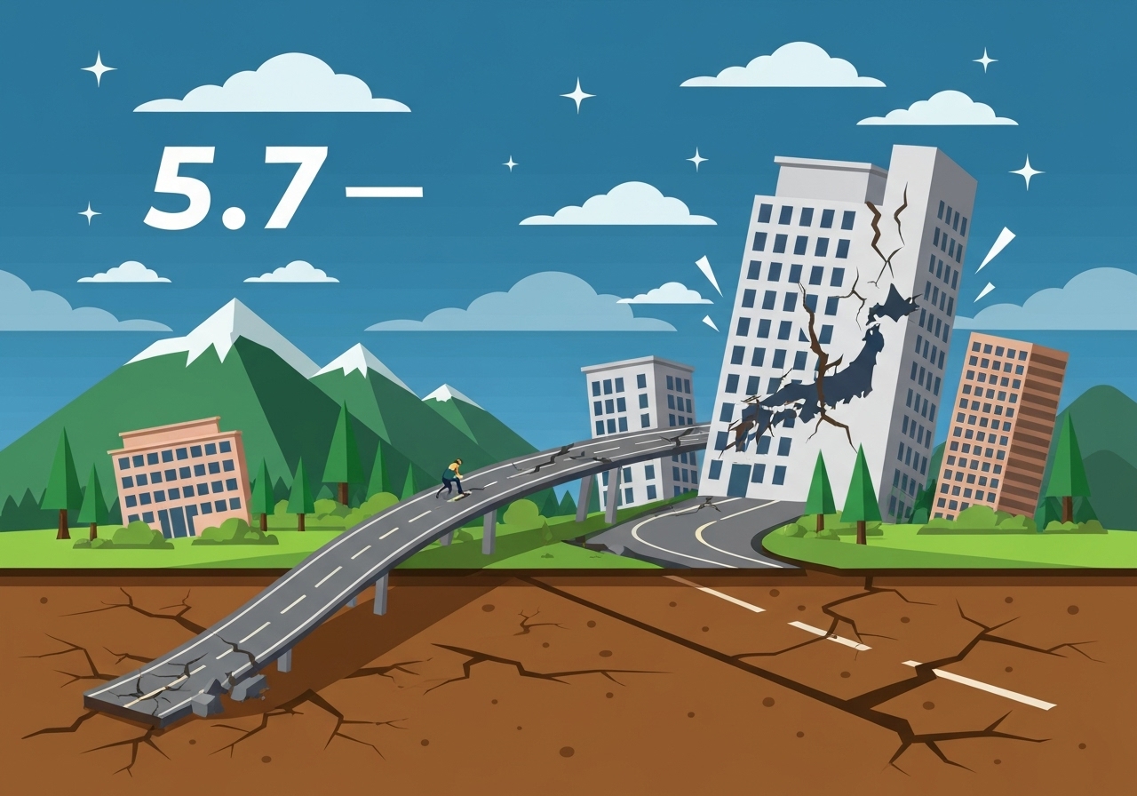
At 10:18 a.m. Japan time a magnitude-5.7 earthquake was recorded about 11 miles (approximately 18 kilometers) south of Matsue, Japan, the U.S. Geological Survey (USGS) reported. The agency’s first automated estimate gave a magnitude of 5.8 before finalizing the reading at 5.7; officials cautioned that the figure could be revised as more seismic records are reviewed. A USGS shake map highlighted areas that experienced an intensity of 4 or greater, which the agency classifies as “light” shaking, though tremors may have been felt beyond the mapped zone. Follow-up monitoring shows aftershocks in the region; official aftershock datasets extend to earthquakes within 100 miles and seven days of the initial event.
Key Takeaways
- Magnitude: USGS final preliminary magnitude 5.7; an earlier automated estimate registered 5.8.
- Time and place: The quake occurred at 10:18 a.m. Japan time, centered about 11 miles south of Matsue, Shimane Prefecture.
- Shake intensity: Maps focused on areas with Modified Mercalli Intensity 4 or greater; MMI 4 is characterized as “light” by USGS.
- Aftershocks: USGS monitoring shows aftershocks within a 100-mile radius; aftershock data were updated through Jan. 6, 10:48 a.m. Eastern (reported by the map source).
- Data updates: Seismologists note magnitudes and shake-severity maps can be revised as additional waveform and station data are processed.
- Public impact: No widely reported major structural collapses or tsunami warnings tied to this event in initial public bulletins (subject to local agency confirmation).
Background
Japan sits along the Pacific Ring of Fire, where the interaction of multiple tectonic plates produces frequent seismic activity. The country has an extensive history of earthquakes ranging from minor tremors to catastrophic temblors, and national agencies maintain continuous monitoring and early-warning systems. Matsue and the surrounding Shimane Prefecture experience occasional moderate earthquakes due to complex local faulting and regional plate convergence. Japan Meteorological Agency (JMA) and international services such as USGS routinely exchange data and publish maps showing shaking intensity and aftershock distributions to inform local response and public safety.
Modern seismic networks provide rapid automated magnitude estimates within minutes, but those early values are sometimes revised as regional stations and waveform analyses are reviewed. Shake-severity maps shown in media products typically use the Modified Mercalli Intensity (MMI) scale to translate ground motion into observed effects; these maps are useful for identifying areas where damage or strong shaking is more likely. Aftershocks—smaller events that occur on or near the same fault patch—are common after a primary quake, and agencies track events within defined spatial and temporal windows (commonly 100 miles and seven days) to present an evolving hazard picture.
Main Event
The USGS recorded the main shock at 10:18 a.m. Japan time, locating the epicenter roughly 11 miles south of Matsue. Early automated processing flagged the magnitude at 5.8 before additional data led analysts to list 5.7 as the preliminary value. The agency’s shake map highlighted contiguous pockets of intensity 4 and above—levels typically described as light shaking that can rattle unsecured objects and be felt indoors. Local response agencies monitored the situation for injuries, infrastructure damage and secondary hazards such as landslides in susceptible slopes.
Emergency services and municipal offices in the area issued routine advisories urging residents to check for damage, secure aftershock-susceptible items, and follow instructions from local authorities. Communications from monitoring centers emphasized that magnitude and intensity depictions are provisional and may change as more station data are processed. No immediate, widespread reports of major damage or casualties were evident in the initial period covered by the map and data updates, though assessments by local governments can take hours to compile.
After the main shock, the event catalog in public maps began populating with smaller events within the 100-mile radius; these are consistent with normal aftershock sequences following a moderate quake. Observers noted that felt reports and social-media posts came from communities beyond the mapped intensity-4 zone—an expected pattern when shallow quakes transmit perceptible motion across broader areas. The documentation accompanying the mapping emphasized that all times shown are Japan time and that map data snapshots reflect specific update stamps from agency feeds.
Analysis & Implications
A magnitude-5.7 event is moderate by global standards but can cause notable local disruption, especially if the epicenter is shallow and near populated areas. In this case, the epicenter’s proximity to Matsue—an urban area with critical infrastructure—raises the importance of targeted inspections of older buildings, bridges and utility networks. Because USGS and regional agencies may update magnitudes and depths as they process additional waveforms, emergency managers typically plan for contingencies until final catalogs are published.
Economically, a single event of this size rarely has wide national consequences, but localized impacts—temporary utility outages, road closures, or damage to schools and hospitals—can impose acute costs and require rapid logistical responses. For insurers and infrastructure operators, aftershock sequences increase risk to weakened structures; prioritizing rapid assessments of essential facilities reduces the chance of compounding damage. The event also serves as a reminder that preparedness measures such as secured shelving, emergency kits and clear evacuation routes materially reduce risk to households and institutions.
On the scientific front, each moderate quake yields valuable data for refining local fault maps and stress-transfer models; waveform archives from dense regional networks improve estimates of rupture extent and focal depth. Updated maps that incorporate intensity observations, station recordings and felt reports help calibrate shaking-prediction models used by engineers and planners. Internationally, routine exchanges of seismic data between USGS, JMA and other institutes sustain a robust global monitoring capability that informs warnings and risk assessments.
Comparison & Data
| Metric | Value |
|---|---|
| Final preliminary magnitude (USGS) | 5.7 |
| Initial automated magnitude | 5.8 |
| Origin time | 10:18 a.m. Japan time |
| Location | ~11 miles south of Matsue, Shimane Prefecture |
| Mapped intensity focus | MMI 4 or greater (“light”) |
| Aftershock window used | Within 100 miles and seven days of initial quake |
The table condenses the core observational details published by monitoring agencies and media mapping products. Shake-map snapshots referenced in public reporting carried time stamps: shake data as of Monday, Jan. 5 at 9:02 p.m. Eastern and aftershock data as of Tuesday, Jan. 6 at 10:48 a.m. Eastern, underscoring that different feeds update on different cadences. Comparing the initial automated magnitude to the later preliminary value illustrates a common process: rapid estimates for public awareness followed by refined values after manual or multi-station checks.
Reactions & Quotes
“Preliminary magnitude 5.7; analysts may revise this value as additional seismic records are processed.”
United States Geological Survey (preliminary statement)
“Maps show areas with shaking intensity of 4 or greater—classified as ‘light’ on the Modified Mercalli Intensity scale—though smaller tremors and aftershocks may be felt beyond the mapped zones.”
Mapping notes compiled from public reporting (media and agency feeds)
Unconfirmed
- No comprehensive, verified casualty or damage totals had been released in the immediate public feeds cited—local government assessments were still pending.
- Magnitude and depth values remained preliminary and subject to revision with further station data and waveform analysis.
- Reports of felt shaking outside the mapped intensity-4 zones require cross-checking with local felt-report systems and station data to confirm intensity gradients.
Bottom Line
The 5.7-magnitude quake south of Matsue produced light to moderate shaking in the immediate area and prompted routine aftershock monitoring and safety advisories. While the event does not on its face indicate a broad national crisis, it highlights the ongoing importance of regional preparedness, rapid infrastructure checks and careful cataloging of seismic data to guide response and recovery.
Authorities and technical agencies will continue refining magnitude, depth and intensity maps as more records arrive; residents and officials should follow updates from local emergency-management offices and national meteorological and seismic services for confirmed damage assessments and safety instructions.