
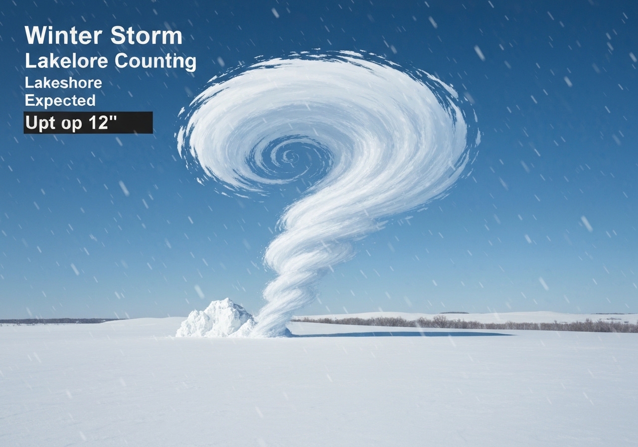
Lead: The National Weather Service issued Winter Storm Warnings late Tuesday for Oceana, Muskegon and Ottawa counties, effective from midnight through 10 a.m. Wednesday, Jan. 21, 2026. Lake-effect snow driven into the Lakeshore could drop most areas between 3–8 inches, with localized amounts of 9–12 inches and parts of the Lakeshore seeing up to a foot. NWS forecasters warned that visibility and road conditions may change rapidly, creating hazardous conditions for the Wednesday morning commute. Officials urged residents to avoid travel if possible and to prepare emergency supplies if driving is unavoidable.
Key Takeaways
- Winter Storm Warnings cover Oceana, Muskegon and Ottawa counties from midnight to 10 a.m. Wednesday, Jan. 21, 2026.
- Most locations in the three-county area are forecast to receive 3–8 inches of lake-effect snow; isolated spots could see 9–12 inches or roughly a foot.
- NWS forecasts note rapid changes in visibility and road conditions over short distances due to intense lake-effect bands.
- Travel is expected to be hazardous during the Wednesday morning commute; motorists are advised to delay trips when possible.
- An Extreme Cold Advisory is slated to begin Thursday as Arctic air moves in, increasing risk for exposure after the snowfall.
- State and county road crews will be active, but heavy, localized snow and blowing could overwhelm response times in the worst-hit corridors.
Background
Lake-effect snow occurs when cold air flows across the relatively warmer waters of the Great Lakes, picking up moisture and producing narrow, intense snow bands. The Lower Peninsula of Michigan, particularly along the Lakeshore, is prone to sharp gradients in snowfall—nearby towns can record very different totals within hours. The current system follows a pattern of amplified polar air dipping southward, which meteorologists have linked with recent Arctic intrusions this winter.
State and local agencies routinely use Winter Storm Warnings to communicate imminent hazardous conditions; a warning indicates significant or life-threatening weather is expected. Winter Weather Advisories and Extreme Cold Advisories are separate products that reflect different types of impacts—advisories signal less severe but still disruptive conditions, while extreme cold alerts focus on dangerously low temperatures. Local officials, emergency managers and transportation agencies coordinate pre-storm staging for plows and salt, but highly localized lake-effect bands can produce conditions that exceed pre-planned responses.
Main Event
Late Tuesday, the National Weather Service in Grand Rapids upgraded the forecast area along the Lakeshore with Winter Storm Warnings effective at midnight and lasting through 10 a.m. Wednesday. NWS guidance shows the highest totals concentrated near the shoreline and in narrow corridors where persistent snow bands are expected to set up. The agency cautioned that most places will get 3–8 inches, while some pockets could accumulate 9–12 inches by Thursday morning.
Forecasters emphasized the speed and variability of the event: lake-effect snow can cause visibility and road conditions to change rapidly over short distances. That variability complicates travel planning—stretches of highway may be clear one mile and whiteout the next. Authorities specifically warned the Wednesday morning commute will face the greatest risk window for hazardous driving.
State transportation crews are pre-positioning equipment along major routes serving the three counties, but local officials said they expect plow response times to be longer in the worst-hit neighborhoods and secondary roads. School districts and some employers were monitoring the situation; any closure or delay announcements will be made locally and on official channels as the storm unfolds.
Analysis & Implications
Even modest lake-effect snow totals can create outsized disruption because of the concentrated nature of the bands. A 3–8 inch widespread signal combined with isolated foot-plus totals means emergency services must be ready for both rapid-response accidents and multi-car incidents in low-visibility corridors. Longer response times are likely in residential streets and rural roads where plow frequency is lower.
The incoming Arctic cold slated for Thursday compounds the hazard: any stranded motorists or outages caused by the storm will face colder-than-normal conditions quickly thereafter, increasing the health risk for those without shelter or heat. Local shelters and emergency managers typically prepare for such compound events, but resource strain is a realistic possibility if the snowfall and cold occur back-to-back.
Economically, short-term impacts are generally localized—commute delays, canceled appointments, and supply interruptions for small businesses near the Lakeshore—but prolonged travel disruptions can ripple into freight movement on key corridors. School closures or delays, while disruptive, are a common precaution and help reduce exposure during peak travel times.
Comparison & Data
| County | Most Likely Range | Localized Max |
|---|---|---|
| Oceana | 3–8 in | 9–12 in |
| Muskegon | 3–8 in | 9–12 in |
| Ottawa | 3–8 in | 9–12 in |
The table highlights expected ranges rather than precise spot totals; lake-effect snow is inherently variable. Regional historical context: similar setups this winter have produced narrow bands with localized foot-plus totals even when upstream model guidance suggested lower averages.
Reactions & Quotes
Local and state officials reiterated safety-first messages as the warnings took effect. Transportation and emergency-management crews described logistical preparations and urged residents to tune to official alerts.
“Visibility and road conditions may change rapidly over short distances in lake-effect snow. Travel could be very difficult,”
National Weather Service, Grand Rapids
The NWS emphasized rapidly shifting conditions as the primary hazard; that advisory framed subsequent guidance from local agencies asking residents to rethink nonessential travel during the warning period.
“If you must travel, keep an extra flashlight, food, and water in your vehicle in case of an emergency,”
National Weather Service, Grand Rapids
State transportation officials noted plow teams are staged along major routes but warned that heavy, localized snowfall could slow clearing operations. Local emergency managers encouraged citizens to prepare basic survival supplies and check on vulnerable neighbors.
Unconfirmed
- Specific school closures or district-wide decisions for Wednesday morning had not been finalized statewide at the time of the warning; districts may announce changes locally.
- Exact street-level snowfall totals will vary, and some forecast pockets may produce lower or higher amounts than the general ranges provided.
- Any long-duration power outages tied directly to this event were not reported at the time of publication.
Bottom Line
The immediate risk window is the Wednesday morning commute when rapidly shifting lake-effect bands can create sudden whiteout conditions and treacherous roads in Oceana, Muskegon and Ottawa counties. Motorists should delay travel if possible, and those who must drive should carry emergency supplies and expect longer response times from road crews.
Residents should also prepare for a second hazard: Arctic air arriving Thursday that will bring extremely cold temperatures. Combined, the snowfall and plunge in temperatures heighten the stakes for anyone who becomes stranded or loses heat—local officials recommend following official channels for closures and updates.
Sources
- MLive — Local news report (local news)
- National Weather Service, Grand Rapids (official forecast and warnings)
- Michigan Department of Transportation (state transportation advisory)