
Lead
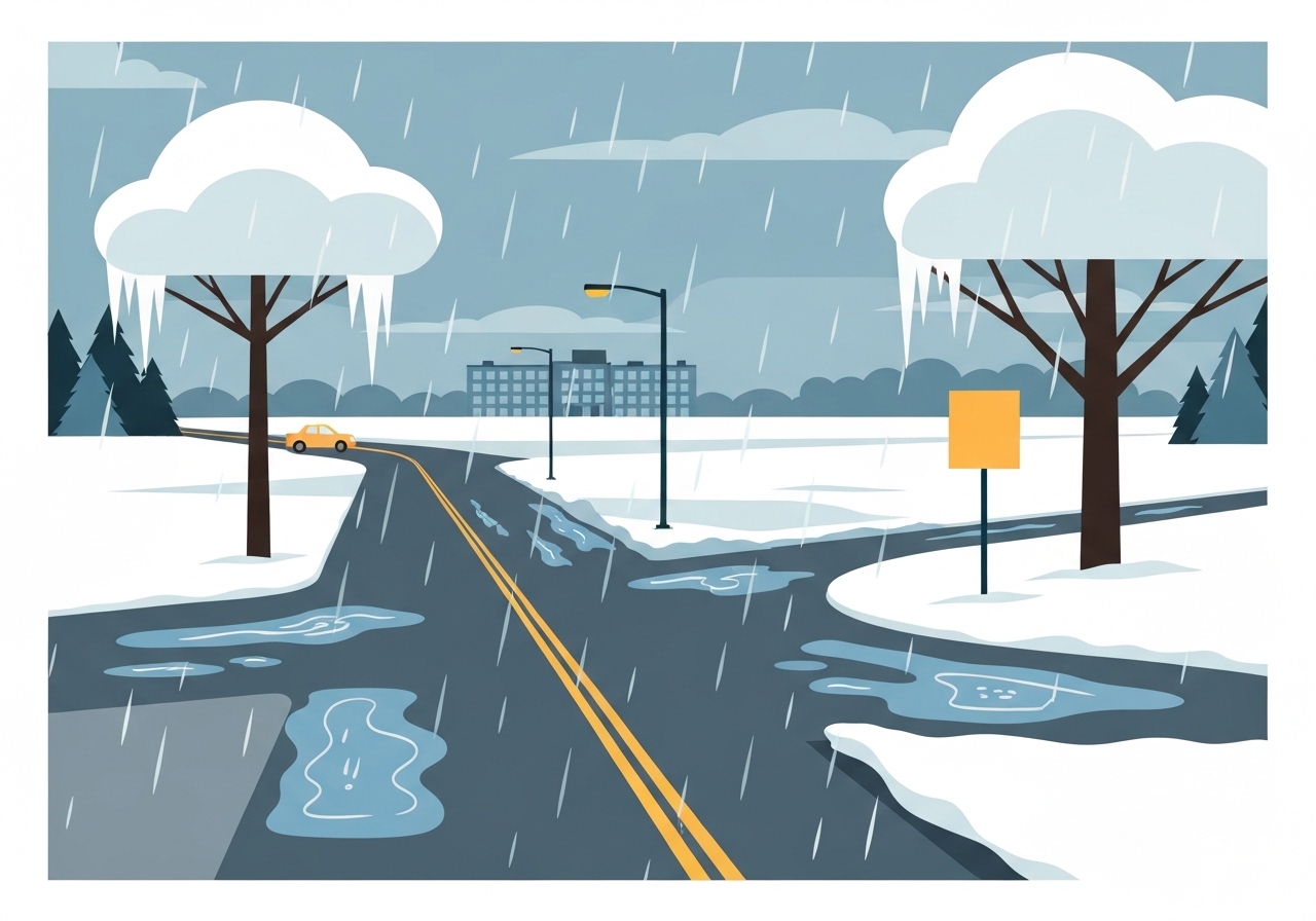
Snow began moving into the Richmond, Virginia region this afternoon and will continue into the overnight hours before a band of sleet arrives early Sunday. Forecast models and local meteorologists indicate sleet will develop roughly between 2:00 a.m. and 4:00 a.m. Sunday, then changeover to freezing rain between about 7:00 a.m. and 9:00 a.m. The freezing rain is expected to persist through Sunday and taper off around midnight Sunday night, though some guidance allows for an end as late as 3:00 a.m. Monday.
Key Takeaways
- Snow will begin this evening across the Richmond metro and surrounding parts of Central Virginia, continuing overnight into Sunday morning.
- Sleet is expected to form early Sunday, with a transition window generally between 2:00 a.m. and 4:00 a.m.
- Another transition from sleet to freezing rain is forecast between about 7:00 a.m. and 9:00 a.m. Sunday, creating prolonged glaze risk.
- Freezing rain is likely to persist most of Sunday and should end by around midnight Sunday night or by 3:00 a.m. Monday at the latest in some areas.
- Temperatures will struggle near 30°F on Sunday, then fall into the 20s Sunday night and Monday morning, promoting refreezing of roads and surfaces.
- Monday will warm into the low 30s with mostly sunny skies, producing some melt, but Monday night into Tuesday will see temperatures drop into the single digits again, renewing refreeze risk.
- Next week remains generally cold: highs in the 20s Tuesday through Thursday, a chance of snow showers Thursday, and a possible additional wintry threat next Saturday (details uncertain).
Background
This event develops as a shallow, moisture-rich system moves north along a colder airmass over the Mid-Atlantic. In Central Virginia, shallow warm layers aloft can produce a layered precipitation profile: snow to sleet to freezing rain as vertical temperature profiles evolve. The region’s topography and proximity to coastal moisture sources often encourage these quick transitions, which complicate accumulations and road impacts.
Winter travel is particularly vulnerable where freezing rain overlays pavement, creating a glaze that is difficult to treat. Local agencies and transportation departments routinely stage resources ahead of mixed-precipitation events, but treatment effectiveness falls as temperatures hover around and below freezing. Residents and emergency planners use close timing forecasts to prioritize road treatments and school or workplace decisions.
Main Event
Snow is expected to begin this afternoon across Richmond and nearby counties and continue through the evening. As temperatures aloft moderate slightly overnight, models show a mid-level warm layer invading the column, producing sleet pockets between about 2:00 a.m. and 4:00 a.m. Sunday.
Early Sunday morning the precipitation type will likely shift to sleet, reducing snow accumulation but creating compact, icy pellets that accumulate on surfaces. By midmorning, around 7:00 a.m. to 9:00 a.m., a deeper warm layer above the surface is expected to cause sleet to transition to freezing rain, especially in lower elevations and urban corridors.
Freezing rain through Sunday will pose the greatest threat to roads, bridges, power lines and tree limbs. With surface temperatures near or just below 32°F, even small amounts of freezing rain can form black ice and heavy glaze that hampers travel and may lead to localized power outages. The event should wind down late Sunday night, with most guidance putting an end near midnight, though isolated lingering freezing rain could persist into the early morning hours of Monday (around 3:00 a.m.).
Analysis & Implications
The sequence snow → sleet → freezing rain increases uncertainty for accumulation types and totals. Snow that falls tonight will be lighter in wetter, warmer profiles; sleet generally limits further snow depth but contributes to road abrasiveness. Freezing rain is the most hazardous outcome because it adheres to cold surfaces and is difficult to remove once established.
Transportation impacts will likely be layered: slick untreated roads overnight, hazardous commuting conditions Sunday morning into Sunday evening, and renewed black ice risk Sunday night into Monday morning as temperatures fall into the 20s. Emergency responders and road crews may be stretched if incidents, spinouts or downed lines occur across the service area.
Economically, prolonged freezing rain can disrupt supply chains, delay deliveries and reduce retail foot traffic for a 24–48 hour window. Schools and businesses that close preemptively may reduce exposure, but closures carry social and economic costs and complicate childcare, especially if power outages occur.
Regionally, the cold pattern is expected to persist into early February, so communities should plan for repeated freeze–thaw cycles that can aggravate infrastructure wear, increase heating demand and create recurring travel hazards if treatments are insufficient.
Comparison & Data
| Time Window | Precipitation Type | Primary Impact |
|---|---|---|
| Tonight (evening) → Overnight | Snow | Light-to-moderate accumulations on grass and elevated surfaces |
| ~2:00–4:00 a.m. Sunday | Sleet | Pellet accumulation, increased road slipperiness |
| ~7:00–9:00 a.m. Sunday → Late Sun | Freezing Rain | Glaze on roads, power lines, high icing potential |
| Late Sun night → Mon early | Ending (midnight–3:00 a.m.) | Lingering refreeze risk |
The table above summarizes the forecast timeline and anticipated effects. Road treatment windows are narrow when precipitation changes form rapidly; that will limit the effectiveness of salt and brine when sleet and freezing rain arrive and temperatures remain below freezing.
Reactions & Quotes
Local forecast teams emphasize the need for caution during the Sunday morning commute as precipitation types change quickly and ice accumulations become possible.
WRIC StormTracker8 (local television forecast)
Transportation officials remind drivers that highways and bridges can freeze sooner than surface streets and encourage postponing nonessential travel during the freezing-rain window.
Virginia transportation agency advisories (official)
Unconfirmed
- Exact accumulations for snow, sleet and freezing rain remain uncertain until short-range radar and profiler soundings confirm the warm-layer depth overnight.
- Whether the freezing rain will end closer to midnight Sunday night or linger until about 3:00 a.m. Monday will depend on the speed of the departing moisture axis and surface temperature trends.
- Potential additional wintry precipitation next Saturday is too early to resolve; model guidance has not converged on timing, track or precipitation type.
Bottom Line
This is a multi-stage winter event for Richmond and much of Central Virginia: snow tonight, a transition to sleet early Sunday, then a potentially impactful period of freezing rain through Sunday. The greatest near-term hazards are icy roads and glaze on infrastructure during Sunday when many will be commuting or traveling.
Plan now: prepare for difficult travel Sunday, stock basic supplies for a short-duration outage, and monitor local forecasts and official transportation advisories. Expect a cold pattern to persist into next week, with renewed refreeze risk Monday night into Tuesday and continued below-average temperatures into early February.
Sources
- WRIC StormTracker8 — local television weather coverage and forecast (media)
- National Weather Service — official federal forecast and guidance (official)
- Virginia Department of Transportation — state transportation advisories and road treatment guidance (official)