
Lead: A major winter storm is set to strike the Tri-State area beginning early Sunday, with the heaviest snow expected during the day and into the evening. New York, New Jersey and parts of southern Connecticut are under winter storm warnings; governors have declared states of emergency and New York’s governor has mobilized the National Guard. Forecasts call for widespread accumulations—locally 12 inches or more north and west of New York City—and dangerous travel from heavy snow, wind and icy mix. Officials warn of near-blizzard visibility at peak intensity and lingering subfreezing temperatures through early February.
Key Takeaways
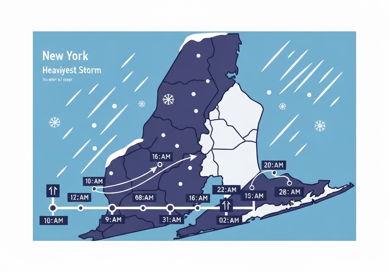
- Winter storm warnings are posted for the NYC region from 3 a.m. Sunday through 6 p.m. Monday, covering New York, New Jersey and parts of southern Connecticut.
- Snow arrives early Sunday (3–7 a.m.) then intensifies; the heaviest snow is forecast 7 a.m.–2 p.m., with rates of roughly 1–2 inches per hour at times.
- Mixing to sleet/freezing rain is likely 2–10 p.m. Sunday for NYC and points south/east; Jersey Shore and South Shore of Long Island may see plain rain then.
- Winds, especially along the coast, could gust 25–35 mph, producing near-blizzard conditions and reducing visibility.
- Ice accretion up to 0.25 inches is possible during the mixed period, increasing the risk of downed branches and localized power outages.
- Forecast snow ranges: NYC 8–12 in; inland north/west locations 12–22 in (highest in Upper Hudson Valley and far NW New Jersey).
- New York’s governor activated the National Guard to assist in NYC, Long Island and northern suburbs; state emergency declarations were issued across the Tri-State area.
Background
The storm develops as a potent low-pressure system tracks northward along the Eastern Seaboard during the weekend, tapping cold air entrenched over the region. A persistent cold dome—temperatures remaining below freezing through early February—means snow that falls will tend to accumulate rather than melt, raising concerns about prolonged impacts on transportation and infrastructure. This system comes nearly five years after New York City’s significant February 2021 storm; if the city measures 12 inches or more, it would be the largest single-storm total since then.
State and local officials have pre-positioned resources: governors declared states of emergency and New York’s governor authorized National Guard assistance to support road clearance, critical services and sheltering. Emergency managers emphasize that the mix of heavy snow, gusty winds and a later period of sleet or freezing rain complicates road treatment and response plans, especially along the coast where warmer air may reduce snowfall totals.
Main Event
Timing begins with light snow moving into the region from west to east between 3 a.m. and 7 a.m. Sunday, then turning moderate by daybreak. Between 7 a.m. and 2 p.m., precipitation is expected to intensify to heavy snow across much of the Tri-State area; localized rates of 1–2 inches per hour would rapidly reduce visibility and accumulation on untreated surfaces.
From roughly 2 p.m. to 10 p.m. Sunday, models indicate warmer air approaching from the coast will push the freezing line northwest, changing precipitation to sleet and freezing rain for New York City and areas south and east of the city. The Jersey Shore and southern Long Island are most likely to see a transition to plain rain during this window, reducing snow totals along the immediate coastline.
Winds will strengthen, especially at the shore, with gusts around 25–35 mph expected at times. Those gusts combined with heavy snowfall create the potential for near-blizzard conditions—very low visibility and significant drifting—particularly along exposed corridors. Ice accretion could reach about 0.25 inches in the mixing zone, threatening tree limbs and local power lines.
After 10 p.m. Sunday into the overnight and early Monday (through about 7 a.m.), precipitation should transition back to all snow for much of the region as colder air wraps back in. The storm then gradually weakens, with light to moderate snow lingering into Monday afternoon in some spots as accumulations taper off.
Analysis & Implications
Timing and temperature profiles will determine final snow totals more than overall moisture availability. Early heavy rates during the Sunday morning–midday period mean even areas that later mix to sleet or rain can still measure substantial snow depths because of the rapid initial accumulation and frozen ground. Consequently, many suburban and inland communities remain at risk of 12 inches or more despite later mixing near the coast.
The mix zone near the coast presents operational challenges: sleet and freezing rain reduce the effectiveness of salt treatments, and tree-weight from ice combined with gusty winds increases the chance of localized power outages. Emergency responders may face slower travel and higher call volumes, so pre-deployment of plows and mutual-aid agreements will be critical across municipal boundaries.
Economically, travel disruptions during a high-impact daytime period (7 a.m.–2 p.m.) will hit the morning commute and weekend travel, affecting transit agencies, airports and supply chains. Extended cold through early February will preserve snowpack, complicating cleanup and amplifying runoff concerns once thaw begins—potentially influencing public works budgets and schedules.
Comparison & Data
| Region | Forecast Snow |
|---|---|
| New York City | 8–12 in |
| Long Island (North Shore & W. parts) | 8–12 in |
| Long Island (South Shore & E. half) | 4–9 in |
| Central Jersey (inland) | 8–12 in |
| Jersey Shore (coast) | 4–9 in |
| North Jersey / Lower Hudson Valley / CT | 12–18 in |
| Upper Hudson Valley / far NW NJ | 18–22 in |
This table summarizes forecast ranges issued for the Tri-State area; the highest totals are favored north and west of New York City where precipitation remains all snow. Coastal locations are most likely to see lower totals due to the expected late-day warm-air intrusion that produces sleet, freezing rain or rain.
Reactions & Quotes
Local leaders and emergency managers have stressed preparation and limited travel during the storm’s peak.
“Expect whiteout or near-blizzard conditions at the height of the storm.”
Mayor Zohran Mamdani
Mayor Mamdani’s warning came alongside guidance urging residents to avoid nonessential travel and to secure supplies as crews prepare for significant accumulation during the day Sunday.
“Snow may fall at rates of 1–2 inches per hour in the heaviest bands.”
Weather forecasts (regional forecast models)
Forecasters emphasize those rapid snowfall rates are the primary driver of short-term travel hazards and the reason some areas could reach foot-plus totals even if mixing occurs later in the event.
Unconfirmed
- Reports that some boroughs will exceed forecast top-end totals remain tentative until post-storm measurements are completed by official agencies.
- Early road closures and transit cancellations reported on social media are being assessed; full official service impacts will be confirmed by transit agencies during Sunday morning updates.
Bottom Line
The weekend storm will produce a concentrated period of hazardous travel, primarily Sunday morning through evening, with the most intense snowfall midday into afternoon. Inland and northwestern suburbs face the highest risk of foot-plus totals, while coastal locations must watch for a transition to sleet or rain that will reduce accumulations but raise icing concerns.
Residents should plan for disruption: avoid unnecessary travel during peak intensity, follow local emergency guidance, and be prepared for possible power outages where ice and wind combine. Expect official post-storm tallies and situation reports Monday as agencies assess accumulations and impacts.