
Lead
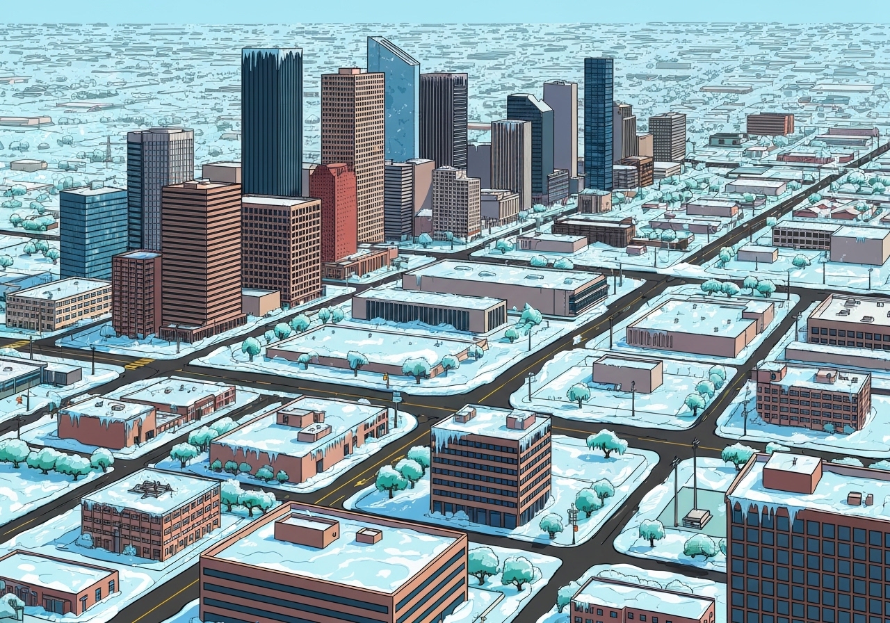
Forecast confidence increased this afternoon for the winter storm sweeping over Houston: widespread icing is now expected Sunday, with impacts possibly lingering into Monday. The situation may include thunderstorms and even rare thundersleet before precipitation ends on Sunday. Officials and forecasters advise minimal travel as roads could become hazardous across much of the metropolitan area. A further cooldown is possible next weekend, though the signal for extreme cold is weaker.
Key Takeaways
- Forecasters observed a deep surge of Arctic air into Texas as of 2:45 p.m. CT; temperatures are falling through the 30s this afternoon.
- Freezing temperatures should reach areas such as Katy and The Woodlands near midnight and spread across most of Houston by Sunday morning, excluding immediate coastal zones.
- Baseline ice accumulation is expected to be 0.1–0.25 inch along and inland of Highway 59/Interstate 69; coastal areas may see a trace up to 0.1 inch.
- Sleet could occur in some locations (reducing glaze buildup), while embedded thunderstorms raise the possibility of thundersleet before precipitation ends Sunday.
- Sunday afternoon may briefly rise above freezing near and south of Highway 59, but inland zones are unlikely to see sufficient melting; temperatures will fall back below freezing by 5–6 p.m. CT.
- Monday morning lows are forecast in the 20–25°F range in urban Houston, with upper teens possible in Katy and The Woodlands; highs Monday likely 35–40°F with sunshine helping to reduce ice where surfaces thaw.
- Late Tuesday morning is forecast as the earliest time temperatures consistently recover into the 40s across the region.
Background
The current event is a typical midwinter setup: a strong Arctic air mass plunging south into Texas colliding with a moisture-laden system over the Gulf. That temperature profile—cold air at the surface with warmer layers aloft—favors freezing rain and sleet rather than straightforward snow through much of the Houston metro. Houston’s location near the coast creates sharp gradients over short distances; small differences in temperature will determine whether precipitation reaches the ground as rain, freezing rain, sleet, or a brief mix. Local road-treatment capacity and prior surface temperatures also strongly influence how hazardous conditions become and how long ice persists.
Houston has experienced similar glaze events in past winters, and those precedents show that even modest accumulations (a few hundredths to a few tenths of an inch) can produce widespread hazardous travel, especially on untreated bridges and overpasses. Urban heat and proximity to Galveston Bay normally protect immediate coastal neighborhoods from the worst icing, but inland suburbs and major corridors such as I-45, I-10, and US-59/I-69 are more vulnerable. Public agencies typically prioritize freeways and critical access routes, but coverage is rarely uniform across a large metro area during a fast-moving freeze.
Main Event
Temperatures are already dropping this afternoon, with readings in the upper 30s north of Houston and quicker declines expected overnight. Between late tonight and Sunday morning, cold rain should transition to freezing rain and sleet as surface temperatures fall to or below freezing. Areas north and inland will see this transition first; coastal zones could remain marginally above freezing longer, limiting ice accumulation there.
Where sleet dominates, accumulation on roads tends to be more granular and less glaze-forming than freezing rain, so the presence of sleet would be a relatively favorable outcome for travel. However, forecast soundings show warm layers aloft in many profiles, increasing the likelihood of freezing rain in several corridors. Model guidance currently yields a baseline estimate of 0.1–0.25 inch of ice for locations along and inland of Highway 59/I-69, with a diminishing gradient toward the coast.
Sunday afternoon offers a narrow window where some areas—especially along and south of Highway 59—could see temperatures creep above freezing for a few hours, and gusty northerly winds combined with occasional sunshine might help dry treated roads. For many inland neighborhoods, even brief midafternoon highs in the mid-30s are unlikely to eliminate a substantial glaze; several hours well above freezing are normally required to clear compacted ice.
As evening approaches, temperatures should fall below freezing again by roughly 5–6 p.m. CT, setting up another cold night. Monday begins very cold but with expected sunshine, and diurnal warming to the mid-to-upper 30s may improve road conditions in places; however, untreated side streets and shaded bridges could remain treacherous through Monday morning.
Analysis & Implications
Even small amounts of ice change the risk calculus for travel: a tenth of an inch of glaze can make untreated bridges and overpasses slick enough to cause accidents and gridlock. Given the forecast 0.1–0.25 inch band, emergency managers and transportation agencies should prepare for increased incident response needs, especially on primary arterials and emergency access routes. Expect prioritization of interstates and hospital access roads over neighborhood streets.
Power infrastructure is also at elevated risk where tree limbs bearing wet ice can snap and damage lines. While the forecast ice accumulations are not extreme by northern standards, many local trees and distribution networks in the region have limited tolerance for glaze and heavy, wet load. Electric utilities and municipal crews will likely stage crews for outages, but widespread, multi-day power losses remain an uncertain outcome dependent on exact ice placement and wind.
Economic and social impacts hinge on mobility: schools, businesses, and medical facilities typically reduce operations during these events, and disruptions can cascade—supply deliveries, transit, and emergency services may all face delays. Because coastal and downtown corridors may fare better than outlying suburbs, unequal impacts across the metro area are likely; that complicates decision-making for employers and institutions about closures and staffing.
Comparison & Data
| Zone | Expected Ice | Sunday Peak Temp | Monday High |
|---|---|---|---|
| Along & inland of Hwy 59/I-69 | 0.10–0.25 in | ~32–36°F (brief rise possible) | 35–40°F |
| South of Hwy 59 / near coast | Trace–0.10 in | mid-30s to low 40s possible | 35–40°F |
| Outlying inland suburbs (Katy, The Woodlands) | 0.10–0.25 in (higher risk) | low–mid 30s | mid 30s |
The table above synthesizes current guidance into three practical zones for planning. These ranges reflect model consensus and observational trends through this afternoon (including surface observations showing temperatures falling into the upper 30s north of the metro). Forecast uncertainty remains regionally dependent: a small shift in the coastal temperature gradient would alter the coastal/inland boundary for significant icing.
Reactions & Quotes
Local traffic and emergency managers are urging caution and limited travel; they emphasize that even experienced drivers face elevated risk when many other motorists have little ice-driving practice.
“Expect hazardous road conditions across much of the metro Sunday; plan to stay home unless travel is essential.”
Houston TranStar (official traffic operations)
Houston TranStar’s advisory highlights that incident response and road clearance will focus on critical corridors, but neighborhood and secondary routes may remain untreated for longer periods.
“A surge of Arctic air is driving temperatures down quickly; this favors a transition to freezing rain and sleet overnight into Sunday.”
Weather data provider/analysis (WeatherBell)
Weather analysis outlets note that the temperature profile—cold at the surface with a warm layer aloft—supports freezing rain across broad swaths where surface temperatures dip below freezing before precipitation ends.
“We now anticipate fairly widespread ice impacts on Sunday, with potential for lingering effects into Monday.”
Local weather forecaster (Space City Weather)
The local forecast emphasizes both the timing (overnight changeover into Sunday) and the practical advice to limit travel and monitor updates through the day.
Unconfirmed
- Exact locations and extent of thundersleet—storms could occur, but the presence of thundersleet in any given neighborhood is not confirmed.
- Degree to which Sunday afternoon above-freezing hours will melt accumulated ice inland—models disagree on duration and magnitude of warming.
- Whether next weekend’s signal will produce measurable snow versus a light freeze—early indications exist but remain uncertain.
Bottom Line
The forecast has sharpened: plan now for widespread icing across much of Houston on Sunday, with the greatest glaze (0.1–0.25 inch) probable along and inland of Highway 59/I-69 and lighter icing nearer the coast. Travel should be limited to emergencies; even modest ice accumulations can create dangerous driving conditions, especially on bridges, overpasses, and untreated local streets.
Monitor official channels for updates—forecasters expect to issue another update by or before 11 p.m. CT tonight—and prepare for a cold follow-up night into Monday. Utilities and emergency services should stage resources accordingly, and residents should secure essential supplies and plan for possible localized outages or delays until temperatures rebound late Tuesday.
Sources
- Space City Weather — local weather analysis and forecast update (media)
- Houston TranStar Road Incident Page — official regional traffic and roadway conditions (transportation/operations)
- WeatherBell — private weather-data and modeling provider (forecast/data)