
Lead
Researchers led by Benjamin Fernando used a dense network of earthquake seismometers to reconstruct the April 2024 reentry path of a 1.5-ton module that detached from China’s Shenzhou 17 capsule. The team analyzed data from 127 seismic stations across California and identified a sonic-boom track roughly 25 miles (40 kilometers) north of the U.S. Space Command prediction. The approach, published in Science on Jan. 22, 2026, demonstrates how widely distributed ground sensors can provide near-real-time locations of reentering debris. The method could shorten fragment-recovery times from days or weeks to minutes or hours, improving hazard response over populated areas.
Key Takeaways
- Average daily reentries: At least three large pieces of space debris (old satellites or rocket stages) fall back to Earth on average each day.
- Case study: The April 2024 Shenzhou 17 module weighed about 1.5 tons and produced a sonic boom tracked across 127 seismic stations in California.
- Trajectory discrepancy: Seismic reconstructions placed the sonic-boom track ~25 miles (40 km) north of the U.S. Space Command forecast, shifting possible fall zones toward areas between Bakersfield, CA, and Las Vegas, NV.
- Speed and detection: The fragment traveled at up to ~30 times the speed of sound; seismic sensors can record sonic booms several hundred miles away, while dedicated acoustic arrays can reach thousands of miles.
- Impact on operations: In November 2022, predicted rocket reentry prompted a ~40-minute airspace closure in Spain and France, delaying flights and costing millions, illustrating economic and safety stakes for better tracking.
- Environmental concern: Historic cases (e.g., a 1978 Soviet satellite breakup over Canada) show that toxic components from reentries—if not recovered—pose long-term contamination risks.
Background
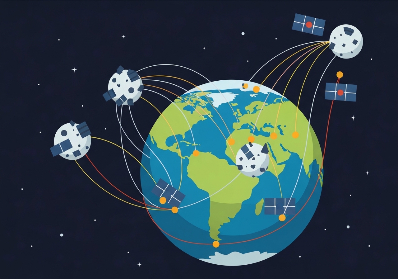
Space agencies and private operators currently predict reentry paths using global radar and optical telescope networks. Those systems perform well while objects remain in stable orbit, but below a few hundred kilometers altitude aerodynamic forces and thermal breakup make flight paths chaotic and harder to forecast. Ground-based radars are spatially sparse and often lack continuous coverage, especially over oceans and remote regions where many reentries occur.
By contrast, seismic and acoustic sensor networks are dense across populated landmasses and often provide openly accessible data. Seismometers routinely record not only tectonic events but also anthropogenic signals—explosions, large aircraft sonic booms and other impulsive ground vibrations—making them a potential complementary source for tracking hypersonic reentry events. Acoustic arrays, used for long-range infrasonic monitoring, can extend coverage across ocean basins where seismic stations are scarce.
Main Event
In April 2024 an orbital module separated from China’s Shenzhou 17 capsule and reentered Earth’s atmosphere. Pre-reentry forecasts placed the fall zone over the South Pacific or North Atlantic, but those predictions relied on orbital tracking that loses fidelity during high-altitude breakup. Fernando’s team instead mined continuous seismic records from 127 California stations to identify the acoustic signature of a supersonic object.
Analysis of arrival times and signal propagation allowed the researchers to reconstruct a ground-projected trajectory and estimate the object’s descent angle and speed. The reconstructed path fell roughly 25 miles (40 kilometers) north of the official prediction from U.S. Space Command, shifting potential fragment locations into densely inhabited corridors. The team found no confirmed ground impacts, but they stressed that the seismic track revealed where search teams should concentrate efforts.
The study shows seismic networks can register the sonic-boom wavefront produced by a hypersonic reentering body and, when combined with atmospheric propagation models, can resolve trajectory details in near real time. The authors note that while seismometers do not predict future impacts, they can rapidly triangulate where fragments already passed and accelerate recovery or hazard assessment actions.
Analysis & Implications
This method fills a monitoring gap that emerges below a few hundred kilometers altitude, where atmospheric interaction fragments and diverts objects unpredictably. Improved post-reentry localization helps authorities assess immediate risks to people and infrastructure and supports environmental remediation when hazardous materials are involved. Shortening the time to locate fragments reduces the window in which debris remains unaccounted for and vulnerable to scavenging or spreading contamination.
Wider adoption of seismic and acoustic tracking could also let researchers quantify how often components survive fiery reentry. That question is central to debates around large constellations such as SpaceX’s Starlink: operators sometimes assert complete burn-up, but material tests and component designs suggest fuel tanks, batteries and high-strength alloys may persist. Empirical records from sonic and seismic detections, correlated with recovered debris, would sharpen risk assessments and regulatory oversight.
Operationally, integrating seismic-derived tracks with radar and optical forecasts would create a hybrid system: orbital sensors predict likely windows and corridors, while ground sensor networks confirm where fragments actually passed. For over-ocean events, acoustic arrays could play the decisive role; on land, public seismic datasets — often openly available — can provide immediate information to civil authorities and aviation managers.
Comparison & Data
| Sensor Type | Typical Detection Range | Coverage Strength | Best Use |
|---|---|---|---|
| Space radars | Orbit to low-Earth (hundreds–thousands km) | Patchy (ground stations limited) | Tracking objects while in orbit |
| Optical telescopes | Orbital tracking line-of-sight | Weather/lighting dependent | Cataloguing and orbit determination |
| Seismic networks | Several hundred miles (seismic booms) | Dense on populated land | Post-reentry sonic-boom triangulation |
| Acoustic/infrasonic arrays | Thousands of miles over atmosphere/ocean | Sparse but long-range | Over-ocean reentry detection |
The table summarizes trade-offs among methods. Seismic arrays offer broad land coverage and immediate public access to data; acoustic sensors extend reach over oceans. Radar/optical systems remain indispensable for pre-reentry tracking, but their ability to resolve breakup dynamics diminishes during high-altitude atmospheric interaction. Combining datasets yields the most complete situational picture.
Reactions & Quotes
Researchers and stakeholders responded to the study by underscoring the operational value of novel sensor fusion for reentry monitoring.
“The seismic network is able to track sonic booms from debris, letting us identify trajectory, speed and breakup characteristics.”
Benjamin Fernando, Johns Hopkins University (study lead)
Fernando framed the technique as a complement to orbital tracking: it does not predict where debris will land before reentry, but it can rapidly triangulate where fragments passed after atmospheric entry, aiding recovery and hazard mitigation.
“SpaceX has said some satellites fully evaporate on reentry, but independent checks are limited over oceans.”
Company statement cited in coverage (SpaceX)
Industry claims about total burn-up during reentry are contentious; experts say empirical detection and fragment recovery are needed to substantiate such assertions and refine safety practices for megaconstellations.
Unconfirmed
- Whether any fragments from the April 2024 Shenzhou 17 module reached the ground remains unconfirmed; no recovered debris has been publicly documented.
- The precise locations between Bakersfield, CA, and Las Vegas, NV, where pieces may have fallen are provisional and require field verification to confirm impact sites.
- Claims that Starlink satellites always fully evaporate on reentry are not empirically validated over oceanic reentries and remain disputed.
Bottom Line
Seismic and acoustic sensor networks provide a cost-effective, widely accessible complement to radar and optical tracking for reentry monitoring. The April 2024 Shenzhou 17 case demonstrates that ground sensors can rapidly localize sonic-boom tracks and reveal substantial deviations from predicted paths, especially when atmospheric breakup occurs.
Operationalizing this capability—by fusing orbital forecasts with real-time seismic and infrasonic detections—could reduce search times for hazardous fragments, improve public safety responses, and supply much-needed empirical data on how often components survive reentry. Wider international data sharing and coordinated analysis will be essential to apply these methods globally, particularly over oceans and sparsely instrumented regions.
Sources
- Space.com (news coverage of the study)
- Science (peer-reviewed journal; original study published Jan. 22)
- Johns Hopkins University (research institution; lead author’s affiliation)