
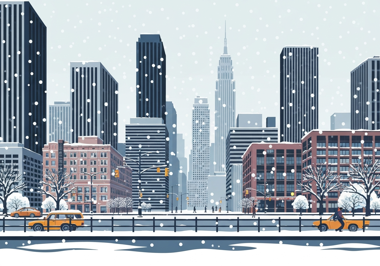
Lead: On Feb. 5, 2026, forecasters warned that a fast-moving storm will clip New York City this weekend, likely dropping a light coat of snow before a sharp drop in temperatures. The city, where recent accumulations remain packed along gutters and sidewalks, could see roughly one to two inches of new snow. Behind the system, winds and an Arctic-influenced airmass are expected to send highs from around 30°F on Friday to the low 20s on Saturday, producing wind chills down into the single digits. Municipal services and residents are preparing for renewed travel disruptions and longer-lasting icy conditions.
Key Takeaways
- Timing: The storm is forecast to pass through Friday into Friday night, with the coldest air arriving Saturday morning.
- Snow amounts: New York City is expected to receive about 1–2 inches of snow; some Great Lakes–downwind communities could see 6 inches or more.
- Temperatures: Highs near 30°F on Friday fall to the low 20s on Saturday across the city, according to National Weather Service guidance.
- Wind chill: Strong winds could generate wind-chill values in the single digits, increasing frostbite and hypothermia risks for exposed people.
- Regional contrast: Cities such as Cleveland, Buffalo, Rochester and Syracuse face heavier lake-effect totals—locally over 6 inches—than coastal New York.
- Impact duration: Because earlier snow remains in gutters and shaded corridors, the new snowfall will likely linger on streets and sidewalks as an icy veneer.
Background
New York City has been operating under a prolonged stretch of near- or below-freezing conditions; earlier storms left dense, compacted snow in gutters and on side streets that has resisted melting. Urban heat islands have kept open trunks and parks intermittently clear, but many pedestrian routes remain constricted by gray-brown slush and ice. The region routinely faces contrast this time of year: coastal metro areas see lighter, more uniform accumulations while locations downwind of the Great Lakes often receive heavier, lake-enhanced snowfall. National Weather Service forecasts and local public works agencies coordinate with transit authorities during these multi-event winters to manage plowing, deicing, and service adaptations.
Forecast models this week have consistently depicted a quick-moving clipper system tracking across the northern United States, driven by a strengthening upper-level trough. The Weather Prediction Center and regional NWS offices issued guidance highlighting the potential for sharper snow bands where low-level moisture overlaps with cold air. Historical precedent shows that even modest additional snow in an already congested urban environment can amplify sidewalk hazards and slow commuter flows. City agencies typically calibrate salt and plow deployments for expected amounts, but street-level conditions vary widely by neighborhood and exposure.
Main Event
The approaching system is compact and will move rapidly from the upper Midwest eastward on Friday. Bob Oravec of the Weather Prediction Center noted the greatest snowfall risk will be over areas downwind of the Great Lakes, where localized totals could reach six inches or more beginning Friday night. In New York City, model consensus points to an inch or two of accumulation, enough to dust parks and re-cover the existing dirty snowbanks but unlikely to create widespread closures. The timing—primarily Friday night—means evening and overnight travel will see the most direct effects.
Behind the precipitation shield, an influx of colder air will follow, pushing daytime highs down into the 20s on Saturday and keeping overnight lows well below freezing. Bryan Ramsey, a meteorologist with the National Weather Service’s New York office, warned that strong winds accompanying the front will lower perceived temperatures substantially. Wind chills in the single digits raise public-health considerations for people without reliable shelter and for outdoor workers. Transit agencies and shelters commonly prepare for brief surges in demand under such conditions.
On-street conditions are expected to remain uneven: main roads treated with salt and plows are likely to be passable, while narrower residential streets and sidewalks could be packed with ice. Taxis and delivery vehicles will still contend with mucky mounds; pedestrians may need to reroute around narrowed walkways. City sanitation and transportation departments will continue active clearing, but patience will be necessary given the limited snowfall amounts and the need to prioritize high-traffic corridors.
Analysis & Implications
Even modest new snow matters when it falls on top of lingering, compacted accumulations; a thin fresh layer can conceal ruts and icy patches, increasing slip-and-fall incidents and minor fender-benders. Economically, short-duration storms of this size rarely shutter commerce citywide, but they raise microeconomic friction—delays to deliveries, reduced foot traffic for small businesses, and increased demand for deicing materials. Municipal budgets must balance routine winter operations against the cumulative wear of repeated events, and multiple storms in close succession can strain equipment and overtime resources.
From a public-health standpoint, wind chills in the single digits widen the window for cold-related illness. Emergency responders and outreach groups typically amplify checks on unhoused populations and advise residents to layer clothing and limit outdoor time. For commuters, the timing—overnight into Saturday—reduces peak transit stress compared with weekday daytime events, but late-night workers and travelers still face hazardous conditions. The combination of low visibility in falling snow and slick surfaces could prompt abbreviated service or speed restrictions on some transit lines.
Regionally, the contrast between heavier lake-effect snow inland and lighter coastal accumulations illustrates how mesoscale processes shape impacts. Forecast uncertainty remains higher for localized totals, particularly where elevation and nearshore wind convergence can enhance banding. Over the coming week, consistently below-freezing temperatures will slow melt, meaning that even small new totals can persist on sidewalks and narrow streets longer than might be expected in a warming spell. That persistence is what determines cumulative disruption more than any single snowfall metric.
Comparison & Data
| Area | Expected Snow | Expected High (Fri) | Expected High (Sat) |
|---|---|---|---|
| New York City | 1–2 in | ~30°F | Low 20s°F |
| Cleveland / Buffalo / Rochester / Syracuse | Up to 6+ in (locally higher) | Mid/upper 20s°F | Teens to low 20s°F |
The table summarizes current guidance from the National Weather Service and the Weather Prediction Center. While urban New York will see lighter accumulations, Great Lakes–downwind locales face more substantial lake-effect totals that can vary over short distances. Forecast temperatures are model-derived and represent broad-area expectations at 7 a.m. each day; local readings may vary with elevation and urban heat effects. These figures are subject to change as the system approaches and model runs update.
Reactions & Quotes
Local meteorologists emphasize the combined threat of wind and cold even where snowfall is limited. Their practical guidance focuses on preparation: securing outdoor objects, checking transit advisories, and shelter plans for vulnerable groups. Transit and city agencies are issuing routine winter advisories and mobilizing crews for post-storm clearing.
Friday we’re looking at highs around 30, and then we’re down to the low 20s on Saturday. Combine that with the strong winds we’re going to get, that’s going to leave us with very low wind chill values, into the single digits.
Bryan Ramsey, National Weather Service — New York office
Ramsey’s remarks underscore that perceived temperature—wind chill—will be a key operational concern for public safety and outdoor work. Outreach and shelter services typically respond to forecasts like this by extending hours or increasing check-ins, particularly when single-digit wind chills are forecast for overnight periods.
National forecasters also warned that heavier totals are likely where lake-effect enhancement is active. Local emergency managers in those inland communities routinely prepare for rapid accumulation and localized road closures.
Heavy snow is expected in parts of the Great Lakes region, particularly downwind of the lakes, with some locations potentially seeing six inches or more beginning Friday night.
Bob Oravec, Weather Prediction Center (NOAA)
Oravec’s statement frames a regional contrast: inland communities should anticipate more significant snowfall and associated travel impacts, while coastal metro areas like New York City should prepare primarily for icy conditions and cold stress following a modest new snowfall.
Unconfirmed
- Exact localized accumulations within New York City neighborhoods remain uncertain; microclimates could produce pockets with slightly higher or lower amounts than forecast.
- The precise duration and overnight lows of the cold snap late Saturday into Sunday depend on model trends and are subject to adjustment in subsequent advisories.
Bottom Line
A fast-moving system is likely to bring a brief coating of snow to New York City Friday night, followed by a pronounced drop in temperatures and strong winds that will produce dangerous wind chills. Although totals in the city are modest at roughly 1–2 inches, the fresh snow on top of packed remnants will create persistent slippery conditions on sidewalks and some streets.
Residents should plan for colder conditions through the weekend, heed local advisories, and allow extra time for travel. Inland communities downwind of the Great Lakes should prepare for significantly heavier snowfall and localized impacts; authorities will continue to monitor model updates as the event approaches.
Sources
- The New York Times — news outlet (original reporting)
- National Weather Service – New York Office — official forecast office (government)
- Weather Prediction Center (NOAA) — national forecast center (government)
- NOAA — federal weather agency (government)