
Lead
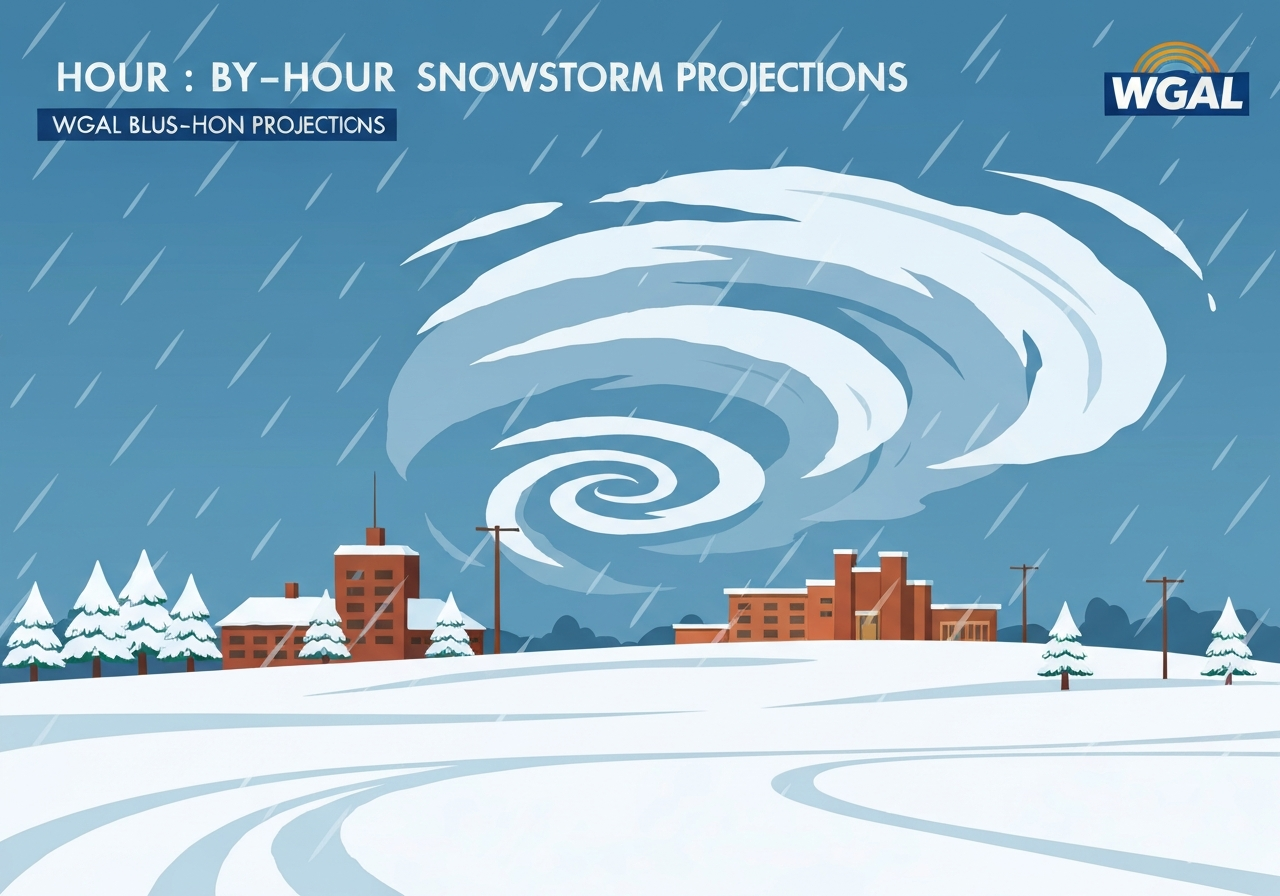
A major snowstorm is expected to move across South-Central Pennsylvania starting Sunday and lasting into Monday, with the heaviest snow after sunset Sunday and precipitation ending by Monday (around noon in eastern counties, earlier in the west). Today will begin with a rain/snow mix through the late afternoon before changing to mainly snow by early evening. The most significant accumulation window is overnight into early Monday, producing widespread travel impacts. Residents should plan for difficult travel, stronger winds and localized higher totals in parts of Lancaster, Lebanon and toward Philadelphia.
Key Takeaways
- Timing: rain/snow mix this morning into late afternoon, transition to mainly snow around 6 p.m., then moderate to heavy snow overnight into Monday morning.
- End time: snow should end first in western counties around 8–9 a.m. Monday and taper by about noon in eastern counties.
- Totals: most of South‑Central Pennsylvania is forecast 4–8 inches, with 8–12 inches likely in parts of Lancaster, Lebanon and toward Philadelphia.
- Common amounts: many locations are expected to be near the 4–5 inch range.
- Impacts: roads will shift from wet/slushy today to snow‑covered this evening and overnight; blowing snow and reduced visibility expected with increasing winds.
- Travel advisory: high‑impact storm — significant travel disruptions through Monday are likely; delay nonessential travel when possible.
- Preparedness: charge devices, allow extra time for trips, and secure loose outdoor items before the worst of the snow arrives.
Background
Winter storms that track through the mid‑Atlantic in late winter often produce mixed precipitation before colder air arrives, which is the expected evolution for this system. South‑Central Pennsylvania’s varied topography — from the Susquehanna Valley to higher ridgelines — frequently produces sharp gradients in snowfall over relatively short distances. Local authorities including PennDOT, county emergency management and the National Weather Service monitor accumulations and conditions closely because timing differences of a few hours can greatly affect road and school decisions. Utility companies and municipal crews also prepare ahead for tree and power impacts when heavier wet snow and wind combine.
Historically, coastal and near‑urban corridors can see higher totals when bands set up or when temperatures support efficient snow rates; that is why forecasts highlight Lancaster, Lebanon and areas toward Philadelphia as potential bullseyes. Forecast confidence for the general timing and overall totals is moderate to high, but mesoscale details — where the heaviest bands set up and exact onset times county‑by‑county — remain subject to change as models ingest newer data late Saturday into Sunday. Residents and employers are advised to follow official updates over the next 12–24 hours.
Main Event
This morning through late afternoon: much of the region will see a rain/snow mix. Mixing should decrease in the late afternoon and by roughly 6 p.m. many areas are expected to transition to primarily snow as colder air deepens from the northwest. Road surfaces will go from wet or slushy to colder, allowing snow to accumulate more efficiently on untreated pavements.
Tonight (after sunset): moderate to heavy snow will pick up, with the largest accumulation window occurring overnight into early Monday. Snow rates could become locally heavy in narrow bands, producing rapid accumulations and reduced visibility. Plows will be active, but untreated side streets and secondary roads may become treacherous quickly.
Early Monday: the snow should begin ending first across western counties, around 8–9 a.m., while eastern counties may not see the precipitation taper off until about noon. Winds are forecast to increase tonight and especially through Monday, which will promote blowing and drifting snow and lower visibility during the morning commute. By Monday night, partial clearing is expected regionwide as the system departs.
Analysis & Implications
Transportation: the shift from rain to snow plus overnight heavy bands raises the likelihood of significant travel disruptions Monday morning. Interstates and treated primary routes will be prioritized for plowing and sanding, but secondary roads, ramps and bridges can become hazardous quickly. Transit schedules and school operations may face delays or cancellations depending on local decisions and how quickly roads deteriorate overnight.
Public services and operations: emergency responders and public works will be stretched during the peak of the storm. Municipalities may activate winter response plans and adjust staffing to maintain critical routes. Power companies monitor branches and lines for potential outages, particularly where heavy, wet snow accumulates on trees and utility infrastructure.
Economic and community impact: even a few inches of compacted snow combined with high winds can suppress commuting, disrupt deliveries and delay services for one to two days. Businesses and employers should expect lower employee availability early Monday and consider remote‑work contingencies where feasible. Event organizers and travel providers will likely need to adjust plans based on localized conditions.
Comparison & Data
| Area | Expected Snowfall |
|---|---|
| Most of South‑Central PA | 4–8 inches |
| Parts of Lancaster, Lebanon, toward Philadelphia | 8–12 inches |
| Many individual spots | 4–5 inches |
Context: the table shows the forecast bands and the areas most likely to see the higher end of the ranges. Small shifts in the storm track or the position of intense precipitation bands could change which communities receive the 8–12 inch amounts. This makes monitoring updates important for anyone with travel or safety planning tied to Monday morning.
Reactions & Quotes
Local transportation officials have emphasized caution and urged the public to limit nonessential travel as crews prepare. Their advisories focus on safety and readiness for reduced visibility and snow‑covered roads.
Delay nonessential travel and allow extra time if you must be on the road; expect slower commutes and lane restrictions.
PennDOT (official advisory)
The National Weather Service and local meteorologists reiterate the transition from a rain/snow mix to primarily snow this evening and the potential for brief heavy snow rates overnight that could rapidly increase accumulations.
Plan for moderate to heavy snow after sunset into early Monday, with localized higher totals in parts of the region.
National Weather Service (forecast summary)
Community response: emergency managers are urging residents to prepare now by charging devices, arranging for safe daytime travel alternatives and securing outdoor property before the heaviest snow arrives.
Charge phones, prepare emergency supplies and secure loose outdoor items before tonight; crews will be active overnight.
County Emergency Management (advisory)
Unconfirmed
- The precise locations of the narrow heavy‑snow bands that could produce localized totals above 12 inches are not yet determined and depend on late model runs.
- Exact timing within individual counties (to the minute) may shift; onset and ending times are current best estimates only.
- The storm’s potential to produce power outages in higher‑risk neighborhoods is possible but not yet quantified.
Bottom Line
This system will transition from a rain/snow mix today to primarily snow by early evening, with the most significant accumulation overnight into Monday. Most of South‑Central Pennsylvania can expect 4–8 inches, with 8–12 inches possible in parts of Lancaster, Lebanon and toward Philadelphia, and many spots near 4–5 inches.
Prepare now: delay nonessential travel tonight into Monday morning when possible, charge devices, secure outdoor items and allow extra time for essential travel. Stay tuned to official NWS updates and local advisories for any adjustments to timing, accumulation bands and travel guidance.
Sources
- WGAL — local news report and forecast summary
- National Weather Service Philadelphia/Mount Holly — official forecast and advisories
- PennDOT — state transportation advisories (official)