
On Feb. 23, 2026, a powerful winter storm that intensified into a blizzard buried large parts of New Jersey, producing town-by-town totals as high as 25 inches and prompting blizzard warnings across all 21 counties. Snow continued into the morning and early afternoon, with the National Weather Service noting visibility-reducing winds and rates near 2 inches per hour in some locations. The heaviest accumulations were concentrated across central and southern New Jersey, while dozens of towns reported double-digit totals. Officials urged residents to stay off roadways as crews worked to clear arterials and respond to emergencies.
Key takeaways
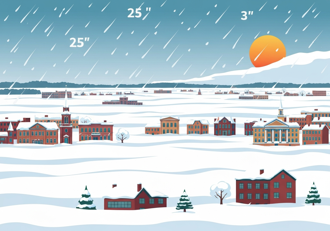
- Maximum reported depth: Perth Amboy (Middlesex County) recorded 25.0 inches as of the 11:30 a.m. county-by-county report.
- Several towns exceeded two feet: Moonachie (Bergen) 24.3 inches and Freehold (Monmouth) 24.2 inches were among the highest totals.
- All 21 New Jersey counties were under an active blizzard warning due to heavy snow and strong winds on Feb. 23, 2026.
- Snowfall rates peaked near 2 inches per hour at Mount Holly, where the NWS site measured 19.2 inches by 7 a.m.
- Central and southern counties showed the largest accumulations, with multiple towns in Monmouth, Middlesex, Ocean and Bergen reporting 20+ inch totals.
- Numerous municipal roads and local streets remained impassable into midday; state and local plows prioritized major routes and emergency corridors.
- Reported totals were current as of the mid- to late-morning county summaries and may rise as snow continued to fall into the afternoon.
Background
The storm formed over the mid-Atlantic and strengthened as it moved up the coast late Sunday into Monday, producing heavy, wet snow and strengthening onshore winds. Forecasters had warned several days in advance that conditions could meet the National Weather Service criteria for a blizzard in parts of New Jersey — sustained winds or frequent gusts combined with falling and blowing snow that reduce visibility to near zero. Historically, coastal and near-coastal Nor’easters that intensify rapidly can concentrate the highest snowfall in narrow swaths; local topography and storm track determine whether a town receives a trace, a foot, or well over two feet.
State and county emergency managers pre-positioned plows and sand/salt resources ahead of the storm and opened warming centers where feasible. Schools and many municipal offices announced closures in advance; transportation agencies issued travel advisories and limited or suspended some services during the height of the storm. Utilities monitored outages as heavy, wet snow and gusty winds increased tree-fall risk across populated corridors.
Main event
Snow began in parts of New Jersey late Sunday and intensified overnight. By early Monday morning, towns across central and southern New Jersey were measuring rapid accumulation. Mount Holly — home to the National Weather Service’s primary New Jersey forecast office — recorded snowfall near 2 inches per hour at one point and had 19.2 inches at 7 a.m., illustrating how locally intense the banding became.
County-by-county reporting compiled later that morning showed several municipalities reporting above 20 inches. Middlesex County included Perth Amboy at 25.0 inches and Sayreville at 21 inches; Monmouth County listed Freehold at 24.2 inches and Manalapan at 21 inches. In Bergen County, Moonachie measured 24.3 inches, while Orange in Essex County reported 24 inches.
Road conditions deteriorated rapidly where wind-driven snow reduced visibility. State police and local law enforcement limited nonessential travel in multiple jurisdictions to prevent stranded vehicles from impeding emergency response and plowing. Crews focused on clearing state highways and emergency routes first; township plows continued to work residential streets as conditions allowed.
Analysis & implications
The storm’s asymmetric snowfall pattern — heavier in central and southern pockets — reflects how small shifts in track can concentrate precipitation in narrow bands. That makes post-storm response more complex: municipalities adjacent to one another may see dramatically different clearing needs and resource demands despite being a few miles apart. Emergency managers must therefore allocate crews dynamically rather than uniformly across a county.
Economically, multi-foot snow totals disrupt commute patterns, commerce and supply chains, particularly where snow removal equipment and municipal staff are stretched. Extended closures of schools, municipal services and some private employers have immediate local impact; repeated staffing demands and overtime for plow operators will increase short-term municipal expenditures.
On the infrastructure side, heavy, wet snow combined with gusty winds raises the probability of tree-related power outages. Utilities typically prioritize restoring transmission and critical facilities first, then address distribution feeders and individual outages; prolonged outages in extremely cold conditions can lead to secondary health and safety risks, especially for vulnerable populations.
Comparison & data
| Town | County | Reported total (inches) |
|---|---|---|
| Perth Amboy | Middlesex | 25.0 |
| Moonachie | Bergen | 24.3 |
| Freehold | Monmouth | 24.2 |
| Orange | Essex | 24.0 |
| Bayville | Ocean | 24.0 |
| Jackson | Ocean | 23.5 |
| Ridgefield | Bergen | 23.2 |
| Cream Ridge | Monmouth | 23.0 |
These figures were drawn from the mid- to late-morning county summaries; local spotters, municipal measurements and automated stations contributed to the tally. Because snowfall rates and wind-driven drifting vary block by block, municipal and county averages can differ substantially from individual station reports.
Reactions & quotes
“Blizzard warnings remain in effect; expect whiteout conditions and life-threatening wind chills where exposure is prolonged,”
National Weather Service (forecast office statement)
The NWS statement underscored the hazards of traveling and the rapidly changing conditions during the storm’s peak.
“We are prioritizing major arteries and critical services; please stay home unless you are responding to an emergency,”
New Jersey Office of Emergency Management (advisory)
The state advisory emphasized that municipal plow schedules and utility restoration priorities will guide on-the-ground response for the coming 24–48 hours.
“The snow piled up fast — we couldn’t see the street signs — and the plow still hasn’t been down our lane,”
local resident, central New Jersey
Resident accounts like this one reflect uneven accumulations and delays on smaller roads even as main routes were being cleared.
Unconfirmed
- Final, post-storm official totals for every station and municipality have not yet been standardized; reported figures are preliminary and may be adjusted after quality control.
- Some community-reported measurements vary from automated station readings; discrepancies will be reconciled by county officials and the NWS in post-event summaries.
Bottom line
The Feb. 23 blizzard produced extreme, localized snowfall that left many New Jersey towns with well over a foot of snow and several reporting more than two feet. With blizzard warnings in effect during the storm’s peak, the greatest immediate risks were from whiteout travel conditions, drifting that blocked streets and potential utility impacts from downed branches.
In the next 24–72 hours, priorities will include reopening critical roadways, restoring any power outages, and completing damage assessments. Residents should follow official channels for restoration timelines and avoid nonessential travel until municipal and state agencies declare roads safe.