
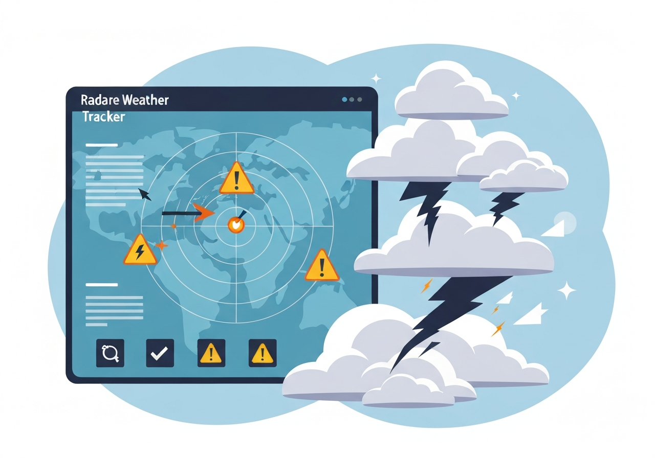
Lead: A severe weather outbreak will continue on Monday, May 18, 2026, across parts of the Plains and Midwest, bringing a heightened risk of strong to potentially intense tornadoes (EF2/EF3+), very large hail, destructive straight-line winds and heavy, flooding rainfall. National forecasting centers and local Weather Service offices are issuing watches and warnings and urging residents to monitor radar and local alerts. This tracker compiles live radar, storm reports, flooding maps and key meteorological indicators to help readers follow storms in real time. Expect the threat to shift and evolve into Tuesday, May 19, with widespread severe thunderstorms again from the Southern Plains toward the Great Lakes but a reduced tornado potential.
Key Takeaways
- Outbreak timing: Severe storms expected to persist Monday, May 18, 2026, across the Plains and Midwest, with heightened activity during afternoon and evening hours.
- Tornado threat: Forecasts indicate potential for EF2 to EF3+ tornadoes in the most favored corridors; forecasters warn of several long-tracked storms.
- Hail and wind: Very large hail (baseball-size or larger) and damaging straight-line winds are likely in core storm zones.
- Flooding rainfall: Training storms and high rainfall rates raise flash flood risk in low-lying and urban areas, especially where soils are already saturated.
- Instability and shear: Elevated CAPE values and pronounced wind shear are combining to favor supercell development; both parameters are being monitored on real-time maps.
- Tuesday outlook: Severe thunderstorms are possible again on Tuesday, May 19, 2026, from the Southern Plains into the Great Lakes with generally lower tornado probabilities.
- Public action: Local NWS warnings and live radar should guide sheltering decisions; those in warned areas should have multiple ways to receive alerts.
Background
The outbreak on May 18 follows a synoptic pattern conducive to severe convection: a deepening mid-latitude trough over the western U.S. is sending a surge of strong low-level moisture and instability into the central Plains while a sharp dryline and warm front provide focused lifting mechanisms. These large-scale drivers interacting with daytime heating have created environments supportive of long-lived supercells. Forecasters cite similarities to past mid-May outbreaks in setup, though every event differs in timing and exact storm tracks.
Key stakeholders include the NOAA Storm Prediction Center (SPC), regional National Weather Service (NWS) forecast offices, state emergency managers and local media outlets. SPC issues convective outlooks and mesoscale discussions to identify the evolving severe risk, while local NWS offices deliver watches and warnings tailored to counties and warning polygons. Emergency managers and utilities are preparing for potential power outages, debris, and flood response where heavy rainfall is projected.
Main Event
Through Monday afternoon and evening, radar displays will likely show discrete and discrete-to-linear convective modes depending on mesoscale boundaries. Supercell thunderstorms capable of producing EF2-EF3+ tornadoes, very large hail and damaging winds will be the primary threats in the most unstable and sheared sectors. Mesoscale forecasters are watching for storm mergers and boundary intersections that can locally enhance tornado potential and rainfall rates.
Storm reports—compiled from spotter networks, emergency managers and official NWS confirmations—will be updated as warnings are issued. Local NWS offices may convert tornado watches into immediate warnings when signatures appear on radar or confirmed sightings arrive. Residents in counties under watch should prepare to move to interior, protected spaces if a warning is issued for their location.
Flooding rainfall is a concurrent hazard. Where storms train or slow over the same corridors, rainfall rates could exceed flash-flood guidance thresholds, producing rapid rises on creeks and urban drainage systems. Flood watches and urban flash flood alerts should be heeded, especially where antecedent moisture is elevated.
Analysis & Implications
From a meteorological perspective, the combination of high convective available potential energy (CAPE) and strong vertical wind shear favors supercell structures—rotating updrafts that are efficient tornado and large-hail producers. CAPE values quantify the buoyant energy available to storms, and when paired with 0–6 km shear above roughly 35–40 kt, environments can support persistent, tornadic supercells. Real-time maps of CAPE and shear help forecasters locate the highest-risk corridors.
Economically and socially, intense tornadoes and widespread damaging winds threaten homes, critical infrastructure and electric grids. Large hail can damage vehicles and structures, while flash flooding interrupts transportation and emergency response. Local jurisdictions may need to mobilize shelters and staging for debris removal, and utility companies often pre-position crews in advance of widespread outages.
On a regional planning level, the outbreak underscores the value of modern warning systems and community preparedness. The availability of radar, spotter networks and mobile alerts shortens warning lead times, but disparities in shelter access and alert reception persist. Officials increasingly emphasize layered notifications—sirens, cell alerts, media and social platforms—to reach diverse populations quickly.
Comparison & Data
| Parameter | Typical Severe Threshold | Observed/Forecast (May 18, 2026) |
|---|---|---|
| Convective Available Potential Energy (CAPE) | 500–2,500 J/kg (severe-capable) | 1,000–3,000 J/kg in core risk areas |
| 0–6 km Shear | >35–40 kt favors supercells | 35–55 kt across the Plains/Midwest |
| Probable Tornado Intensity | EF0–EF5 scale | EF2–EF3+ possible in discrete supercells |
| Hail Size | 1″ (severe) and larger | Up to baseball-size (≈2.75″) in strongest storms |
Those numbers provide context: CAPE in the 1,000–3,000 J/kg range with 35–55 kt of deep-layer shear is a classic severe-signature environment. The combination increases the risk for rotating storms that produce both tornadoes and very large hail. Observed radar parameters and storm reports will determine whether those forecast magnitudes verify.
Reactions & Quotes
“Forecasts indicate environments supportive of intense, long-track supercells; residents should monitor watches and warnings closely.”
NOAA Storm Prediction Center (forecast summary)
“Local offices are issuing warnings where radar and spotter reports show confirmed rotation or damaging winds; take action immediately if a warning includes your area.”
National Weather Service (local forecast office)
“Flooding from slow-moving storms can become the silent hazard—people should not underestimate rapid rises in urban and low-lying areas.”
Emergency management official (state level)
Unconfirmed
- Exact tornado paths and final EF ratings remain uncertain until damage surveys are completed and verified by the NWS.
- Specific towns that will receive the heaviest rainfall and exact flash-flood totals are subject to change as storm training evolves.
- Projected hail sizes and wind gusts are model- and radar-derived estimates that may be adjusted with new observations.
Bottom Line
This severe outbreak on Monday, May 18, 2026, carries a credible risk of damaging and life-threatening weather—especially EF2/EF3+ tornadoes, very large hail, damaging winds and flash flooding—across parts of the Plains and Midwest. People in affected areas should have a plan, know safe shelter locations, and keep multiple ways to receive NWS warnings and local emergency information.
While the tornado threat is expected to be lower on Tuesday, May 19, 2026, the potential for damaging severe storms persists from the Southern Plains into the Great Lakes. Stay updated with live radar, official SPC outlooks and local NWS warnings; verify safety plans and be ready to act quickly if conditions change.
Sources
- The Weather Channel — Severe Weather Outbreak Tracker (news)
- NOAA Storm Prediction Center — Convective outlooks and discussions (official forecast)
- National Weather Service — Local warnings and statements (official)
- Ready.gov — Flood preparedness guidance (federal preparedness)
- Georgia Institute of Technology — Academic (author’s alma mater)