
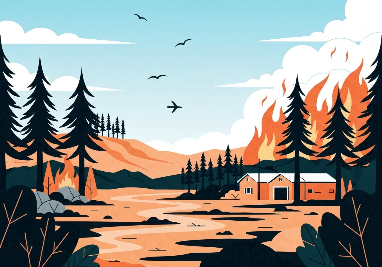
Lead: A fast-moving wildfire known as the Pack Fire in Mono County has burned an estimated 3,400 acres and remains 0% contained as of the latest official updates. Mandatory evacuations were issued Thursday for Crowley Lake, Long Valley and McGee Creek before some orders were later downgraded or lifted; residents began escorted returns to Crowley Lake starting at 8:00 p.m. Local officials declared a Local Emergency to speed resource deployment, and authorities continue to update evacuation zones, road closures and animal shelter arrangements. Fire activity eased after evening rain, but crews will work overnight and additional resources are expected Friday.
Key Takeaways
- The Pack Fire has burned approximately 3,400 acres and is reported as 0% contained by Cal Fire (update at 7:35 p.m.).
- Mono County declared a Local Emergency on November 13 at 2:58 p.m. to mobilize response resources quickly.
- Mandatory evacuations affected Crowley Lake, Long Valley and McGee Creek; Crowley Lake’s order was downgraded to an evacuation warning with escorted re-entries beginning at 8:00 p.m.
- Evacuation centers are open at Mammoth Lakes Middle School (Meridian Boulevard) and the Tri-County Fairgrounds (475 Sierra St., Bishop).
- Whitmore Animal Shelter was evacuated; a temporary animal shelter is at the Tri-County Fairgrounds and animal assistance numbers are available (Manager: 760-965-9606).
- Highway 395 was closed both directions between Benton Crossing Road and Rock Creek Road; drivers from Inyo County are advised to detour via U.S. 6 in Bishop.
- All air tankers were released earlier due to strong winds and turbulence; evening rain reduced visible fire activity and crews remained on scene overnight.
- Benton Crossing Road reopened to vehicle traffic; Crowley Lake Drive remains closed between McGee Creek Road and the Long Valley Fire Station.
Background
The Pack Fire ignited Thursday morning shortly before 12:30 p.m. and expanded rapidly across vegetation in the Long Valley area of Mono County. Early reports from CAL FIRE and Mono County showed swift growth: initial estimates put the fire at roughly 1,000 acres by 1:15 p.m., climbing to about 3,400 acres by the evening update. The fire’s location near Highway 395 and its proximity—about a quarter mile—to Lake Crowley created immediate threats to communities and infrastructure along the corridor.
Mono County officials and state firefighting agencies have cited strong winds and turbulent conditions that initially limited fixed-wing air operations; officials reported that all air tankers were released for safety reasons. Those weather-driven operational constraints, together with the remote mountain terrain and available fuels, contributed to the rapid spread and the issuance of mandatory evacuation orders for several communities.
Main Event
By early afternoon on November 13, authorities ordered immediate mandatory evacuations for residents in Crowley Lake, Long Valley and McGee Creek as the fire approached populated areas and structures along Highway 395. A Local Emergency was proclaimed at 2:58 p.m. by the Mono County Office of Emergency Management to facilitate the mobilization of personnel, equipment and logistical support. Local social channels and READY Mono were cited as primary sources for verified updates, maps and evacuation guidance.
Evacuation shelters were established at Mammoth Lakes Middle School on Meridian Boulevard and at the Tri-County Fairgrounds on Sierra Street in Bishop; the latter also became the temporary animal shelter site after the Whitmore Animal Shelter was evacuated. Mono County posted animal assistance phone numbers and said supplies including crates, collars, leashes and food were available to evacuees in need of pet support.
Traffic and access were severely affected: Highway 395 was closed between Benton Crossing Road and Rock Creek Road, with U.S. 6 in Bishop recommended as a detour for drivers heading north. Later in the evening, county updates said escorts were available for residents returning to Crowley Lake via the only entrance at South Landing Road, and Benton Crossing Road was reopened to vehicle traffic while other local roads remained restricted.
Analysis & Implications
The Pack Fire illustrates how quickly wildfires can escalate in the Eastern Sierra when wind and fuel conditions align. The release of air tankers because of turbulence reduced one major suppression tool during the fire’s most active hours, placing more reliance on ground crews and local evacuation protocols. The county’s prompt emergency declaration aimed to accelerate resource allocation, including mutual aid from neighboring jurisdictions and state assets once conditions permitted.
The proximity to Highway 395 raises both public-safety and economic concerns: closures disrupt travel and commerce between Inyo County, northern Mono County and Nevada, while threatened structures and utilities could result in longer-term recovery needs if the fire reaches developed areas. The establishment of animal sheltering and dedicated phone lines reflects lessons learned from past incidents about the importance of pet-inclusive evacuation planning.
Rain that arrived in the evening had a moderating effect on visible fire behavior and allowed crews to consolidate perimeters, but the fire remained uncontained and could flare up again under changing wind or drier microclimates. Incident managers will likely prioritize structure protection, holding lines near populated flanks, and assessing opportunities to reintroduce aerial suppression when turbulence subsides.
Comparison & Data
| Time (Nov. 13) | Reported Size (acres) | Containment |
|---|---|---|
| ~1:15 p.m. | ~1,000 | Not reported |
| 7:35 p.m. | 3,400 | 0% |
| 10:00 p.m. | 3,400 (no size change reported) | 0% |
This table shows the rapid growth from the early afternoon to evening on November 13 and the reported containment status. Although rain reduced active flame, formal containment lines had not been declared by the latest updates; containment typically lags visible activity and requires confirmed control across the fire perimeter.
Reactions & Quotes
“A Local Emergency was declared to allow us to bring in needed resources quickly and to prioritize public safety,”
Mono County Office of Emergency Management (official statement)
Mono County emphasized that the declaration enables expedited logistical support and mutual-aid coordination to protect residents, property and infrastructure.
“We released air tankers due to strong winds and turbulence; safety constraints limited aerial operations during the afternoon,”
CAL FIRE (operational update)
CAL FIRE noted that shifting weather conditions constrained air support during critical hours, underscoring the operational challenges on steep, wind-swept terrain.
“Escorts will allow residents to return to Crowley Lake via South Landing Road tonight,”
Mono County emergency posting
Officials clarified that escorted re-entry was being conducted in a controlled manner and that some roads, including segments of Crowley Lake Drive, remained closed.
Unconfirmed
- No official cause has been released publicly; the origin of the Pack Fire remains under investigation and has not been confirmed.
- While rain reduced visible fire activity on the evening of November 13, the long-term effect of that precipitation on containment and control lines is not yet confirmed.
Bottom Line
The Pack Fire burned rapidly on November 13, growing to about 3,400 acres and triggering a Local Emergency and multiple evacuations in Mono County. Although some evacuation orders were downgraded and escorted re-entry to Crowley Lake began after evening rain, the fire remained 0% contained and arson, accidental ignition or other causes have not been confirmed.
Residents in affected zones should continue to rely on official channels—READY Mono, Cal Fire and county emergency postings—for real-time evacuation maps, road closure notices and shelter locations. Authorities expect additional firefighting resources to arrive Friday; the situation remains dynamic and sensitive to weather changes, so staying prepared and following official guidance remains essential.
Sources
- READY Mono incident page — (official county emergency information)
- 2news / KTVN — (local news report)
- CAL FIRE — (state fire agency operational updates)