
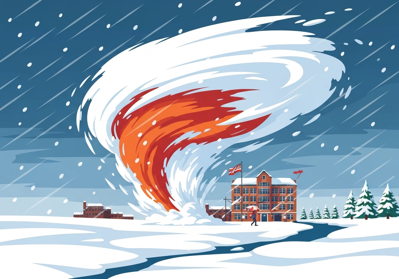
Lead: A fast-moving winter storm pushed from the Midwest into the Northeast on Tuesday, bringing heavy snow to interior regions and prompting travel chaos from the Ohio Valley to New England. The system intensified rapidly into a bomb cyclone off the New England coast, producing gusty winds and hazardous conditions while Atlantic Canada faces the strongest winds. The storm has been tied to multiple traffic incidents — including one confirmed fatality in central Missouri — and forced airport deicing and temporary closures. In the storm’s wake, forecasters say a wave of record-chilling temperatures could follow across the Plains and into the Midwest and Northeast.
Key takeaways
- One confirmed storm-related death occurred Monday evening in central Missouri after a car left the roadway near Jefferson City, according to the Missouri State Highway Patrol.
- Interior parts of the Northeast and New England could see up to 10 inches of snow, while major coastal cities such as Philadelphia, New York City and Boston were spared the heaviest accumulations.
- Missouri authorities reported more than 350 crashes, 800 calls for service and assistance to over 200 stranded motorists during the event; parts of the state saw about 4 inches of snow.
- The system rapidly deepened into a bomb cyclone as it moved up the New England coast; forecasters warned Atlantic Canada would face the most severe winds from that intensification.
- Snowfall rates exceeded an inch per hour in spots — including Columbus, Ohio — creating rapidly deteriorating travel conditions during the morning commute.
- Colder air will follow: Des Moines is forecast near 11°F below zero and Cedar Rapids near 7°F below zero on Thursday morning, with multiple cities eastward facing the possibility of record low temperatures.
- Local responses included a Level 3 Snow Emergency in Hocking County, Ohio (briefly), wide plow/deicing operations and local travel advisories urging residents to stay off roads when possible.
Background
Bomb cyclones are a known late-fall/early-winter phenomenon in the North Atlantic; they intensify when a mid-latitude cyclone’s pressure falls rapidly as it moves over relatively warm ocean waters. When such systems track up the New England coastline they can produce heavy coastal winds, pockets of intense snowfall inland, and mixed precipitation near the coast where maritime air moderates temperatures. The United States sees routine winter travel disruptions from such storms — airports, interstate corridors and secondary roads are vulnerable to rapid accumulations and slick surfaces.
Growing population and freight movement along key corridors like I-95 and I-71 increase the stakes when storms arrive during commuting hours. State and local agencies preposition road crews and activate emergency protocols, but heavy snow rates and icing can overwhelm response capacity for several hours. Past events have demonstrated that even moderate accumulations produce outsized disruptions when snowfall coincides with peak travel.
Main event
The storm moved eastward overnight after dumping several inches across the Midwest; a rapid deepening offshore turned it into a bomb cyclone as it skirted the New England coast. Inland, the interior Northeast and parts of New England picked up the heaviest snow, with isolated reports approaching 10 inches. Coastal metropolitan centers largely missed heavy snow due to warmer Atlantic air and a rain–snow boundary that favored rain in cities like New York and Philadelphia.
On Lake Erie, meteorologists observed mesovortices embedded within a band of lake-effect snow — small, spinning circulations that can locally enhance snowfall and briefly reduce visibility. The National Weather Service in Cleveland warned these mesovortices could produce slick, quickly accumulating snow near Cleveland, though accumulations inland were expected to be modest (an inch or two) as they move ashore.
First responders dealt with several serious incidents during the storm. In Mason County, West Virginia, a tractor-trailer driver was rescued after their cab hung over a bridge embankment; a technical rescue team was required to recover the operator. In central Missouri, a 21-year-old driver died when a vehicle overturned down an embankment northwest of Jefferson City amid wintry conditions.
Air travel was affected across the region. Crews in Rochester, New York were shown deicing aircraft and working to clear snow-covered tarmacs; airports from the Great Lakes into New England reported delays and extra operational demands as crews worked through the morning.
Analysis & implications
Transportation and supply-chain impacts are the immediate concern. Rapid snowfall rates over major highways and at key airports can ripple into multi-day delays for passengers and freight. With snowfall rates topping an inch per hour in parts of Ohio and Pennsylvania during the commute, plow and salt crews faced a short window to keep interstates passable, increasing the risk of chain-reaction crashes and longer closures.
Economic friction is concentrated in commuting losses, delayed freight, and incremental municipal costs for snow removal and overtime. For states that rely heavily on highway freight, even a single day of slowed movement increases delivery times and can raise costs for goods with tight just-in-time logistics. Local businesses also suffer reduced foot traffic in places where sidewalks and parking become hazardous.
Energy and infrastructure exposure is mixed. While heavy snow elevates risks to localized distribution lines and tree limbs, the most acute post-storm stress may be from the forecasted extreme cold behind the system. Record-low low temperatures can increase heating demand and present challenges for vulnerable populations if power outages occur. Emergency managers typically shift from immediate search-and-rescue to warming-center logistics as cold settles in.
Comparison & data
| Location | Top reported amount / note |
|---|---|
| Rushville, Indiana | 6.8 in |
| Saint Marys, Ohio | 5.7 in |
| Columbus, Ohio | 4.5 in (seasonal total >6 in) |
| Florence, Kentucky | 4.5 in |
| St. Louis, Missouri | Record daily snowfall 3.8 in (Dec 1 record) |
These totals show the storm’s uneven footprint: higher amounts in interior Midwest and inland Northeast compared with coastal metros. Rapid snowfall rates in restricted corridors — rather than uniformly heavy totals — drove the most hazardous travel conditions during the morning commute. Officials reported plowing and deicing resource deployments: for example, the Ohio Department of Transportation deployed over 1,120 crews to treat roadways as heavy rates approached.
Reactions & quotes
Officials and agencies issued warnings and described response efforts while advising the public to limit travel.
“Roadways are hazardous with blowing and drifting snow. Roadways may also be icy.”
Hocking County Sheriff’s Office (local law enforcement)
Hocking County briefly declared a Level 3 Snow Emergency, restricting travel to essential and emergency vehicles only before downgrading to a Level 2 alert later Tuesday morning.
“Give us room to work. If you don’t need to be out, don’t.”
Ohio Department of Transportation (state agency)
The state agency said more than 1,120 crews were treating roads across Ohio as snowfall rates in places like Columbus could briefly exceed an inch per hour.
“Remember, even if your area didn’t get snow, the rain and cold temperatures can make roadways slick. Please go slow and be careful.”
Governor Andy Beshear (Kentucky, public official)
The governor shared images of the snow-covered Kentucky Governor’s Mansion and urged caution for residents where conditions varied across the state.
Unconfirmed
- Comprehensive economic loss estimates from the event are not yet available and will depend on multi-day disruption assessments.
- Final counts of all storm-related injuries or property damage remain provisional pending local law enforcement and emergency management reports.
- Peak wind gusts affecting Atlantic Canada and specific damage tallies there are still being compiled by regional meteorological and emergency agencies.
Bottom line
The storm delivered a concentrated punch: heavy, fast-falling snow inland, mixed precipitation near the coast, and a rapid intensification offshore that elevated wind risk for Atlantic Canada. The immediate human impacts — at least one confirmed fatality, hundreds of crashes in some states, and wide operational burdens for airports and road crews — underline how disruptive a fast-developing system can be even when major cities escape the worst of the snow.
Forecasters emphasize that the situation remains dynamic: cleanup and travel recovery will continue as colder air arrives and record low temperatures are possible across a broad swath of the central and eastern U.S. Residents in affected areas should follow local guidance on road closures, monitor official weather updates, and prepare for the added risks of an extended cold snap.
Sources
- CNN live coverage (national news outlet; primary account of live updates)
- National Weather Service (government meteorological agency; forecasts and warnings)
- Weather Prediction Center (government center; snowfall rate and advisory guidance)
- Missouri State Highway Patrol (state law enforcement; crash and fatality reports)
- Mason County Emergency Management (local emergency management; rescue details)
- Hocking County Sheriff’s Office (local government; snow-emergency notices)