
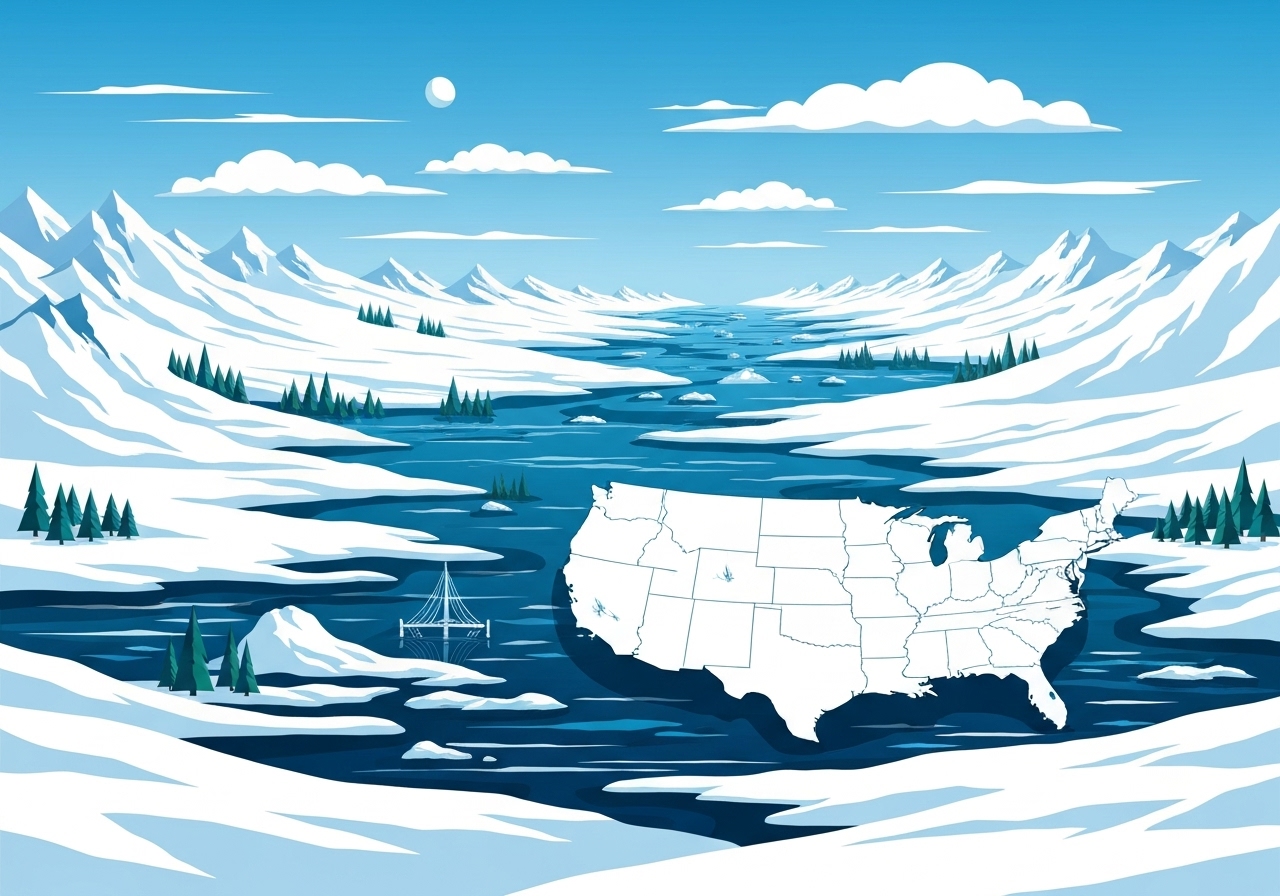
Lead: A broad surge of Arctic air and a fast-moving winter system is sweeping across the United States this weekend, bringing dangerously low temperatures, widespread snow and river flooding in the Northwest. Nearly 49 million people are under cold-weather alerts from the Northern Plains into the Southeast, and roughly 58 million face winter alerts from the Plains through the Mid-Atlantic. The most extreme cold is expected Saturday night in the Northern Plains and Upper Midwest, with flooding concerns continuing in western Washington after recent heavy rain. Authorities and weather services have issued travel warnings and urged precautions as the system shifts east through Monday.
Key Takeaways
- Nearly 49 million people are under cold-weather alerts from the Northern Plains through the Southeast, including Minneapolis, Chicago, St. Louis and Atlanta.
- About 58 million people face winter alerts from the Plains into the Mid-Atlantic, with the I-95 corridor from Washington, D.C., to Boston expecting 1–4 inches in many areas.
- Northern Plains and parts of the Midwest could see overnight air temperatures as low as -25°F Saturday night, with wind chills down to -30°F to -35°F in the Dakotas, Minnesota and Wisconsin.
- Daytime highs will run 10–35°F below normal east of the Plains; some Northern Plains highs may stay below zero on Saturday afternoon.
- Central Iowa and Illinois may receive 2–5 inches of snow, with higher totals in the central Appalachians and localized heavier amounts across New Jersey and Long Island.
- Lake-effect snow warnings are in place through Monday; areas downwind of Lakes Erie and Ontario could see up to 14 inches and 35 mph gusts, worsening travel conditions.
- Western Washington is experiencing significant river flooding after several days of heavy rain; another storm arriving Monday–Tuesday could bring more precipitation and strong winds.
Background
The current outbreak is driven by a strong Arctic air mass plunging south from Canada and a fast-moving clipper system ejecting eastward across the United States. Such setups — deep cold combined with quick-moving snow-producing disturbances — are common when a polar vortex lobe or amplified upper-level trough pushes cold air into the mid-latitudes. In recent years similar late-fall and early-winter surges have produced record lows and widespread travel disruption, underscoring persistent vulnerabilities in transportation and sheltering infrastructure.
Communities from the Northern Plains to the Southeast are particularly exposed because the cold arrives ahead of the snow in some corridors and follows heavy rain and saturated soils in the Pacific Northwest. Emergency managers, state transportation agencies and the National Weather Service (NWS) coordinate watches and warnings to prioritize life-safety messaging, road treatments and river monitoring. The mix of hazards — extreme cold, gusty winds, heavy snow and flooding — complicates response priorities across different regions.
Main Event
Saturday night will see the coldest air across the Northern Plains and Upper Midwest: forecast lows around -25°F and wind chills as low as -30°F to -35°F in parts of the Dakotas, Minnesota and Wisconsin. That frigid air mass is forecast to advance east and southeast into the Northeast and Southeast by Sunday night, pushing daytime highs down into the single digits, teens and 20s across much of the Midwest, Northeast and Mid-South by Sunday.
A quick-moving clipper is producing periods of heavy snow and gusty winds from the Plains into the Mid-Atlantic. Snow already fell across parts of Iowa, Illinois and Indiana on Saturday morning; the system is expected to zip through the Ohio Valley and Appalachians Saturday afternoon into the evening, reaching Washington, D.C., Philadelphia, New York and Boston overnight into Sunday morning.
Forecast totals show a swath of about 2–5 inches across portions of central Iowa and Illinois, with higher accumulations in the central Appalachians. Along the I-95 corridor from Washington to Boston, widespread 1–4 inch amounts are expected, though localized banding could yield higher totals across New Jersey and Long Island. Lake-effect snow setups will continue through Monday downwind of Lakes Erie and Ontario, where up to 14 inches is possible accompanied by 35 mph gusts.
In the Pacific Northwest, rivers remain swollen after several days of heavy rain. While a break in precipitation is expected Saturday under transient high pressure, forecasts show another strong storm arriving Monday into Tuesday that could return significant rainfall and strong onshore winds, prolonging river flooding threats in western Washington.
Analysis & Implications
The spatial and temporal overlap of multiple hazards raises both immediate and cascading risks. Extreme cold increases the likelihood of hypothermia and frostbite for people without adequate shelter or heating, and it can stress energy systems as demand for heat rises. Record-low possibilities in cities such as Indianapolis, Charleston (SC), Mobile, Savannah, Baton Rouge, Tupelo and Myrtle Beach indicate that places unaccustomed to such deep cold may face outages, frozen pipes and infrastructure strain.
Transportation impacts will be broad: snow and gusty winds reduce visibility and create slick roads, while lake-effect bands can drop feet of snow in localized corridors. Winter travel advisories and road-treatment operations will be stretched across multiple states simultaneously, complicating logistics for commercial freight and emergency response. Airports in the Midwest and Mid-Atlantic may face delays and cancellations during the peak periods of the storm.
For the Northwest, the short-term lull Saturday provides little relief for flooded communities because river stages respond slowly to upstream runoff; another incoming storm early next week risks additional rainfall on already saturated basins, elevating the chance of further river rises and potential levee stress. Emergency managers will need to weigh re-evacuation difficulties against infrastructure vulnerability if flood levels rise again.
Economically, regions facing simultaneous cold and snow can see disruptions to commerce, school closures and reduced productivity. Power grids in southern locales that rarely experience sustained subfreezing conditions have less winterization than northern systems, increasing outage risk. The event also underscores the importance of multi-hazard preparedness — from sheltering and warming centers to prioritized road clearance and targeted sandbagging in flood-prone areas.
Comparison & Data
| Region | Key Forecast |
|---|---|
| Northern Plains / Upper Midwest | Air lows around -25°F; wind chills -30°F to -35°F |
| Plains → Mid-Atlantic | 2–5 inches in central IA/IL; I-95 corridor 1–4 inches |
| Great Lakes (downwind) | Up to 14 inches lake-effect snow; 35 mph gusts |
| Pacific Northwest (western WA) | Significant river flooding continuing; additional rain Monday–Tuesday |
The table highlights the distinct threats by geography: extreme cold in the central/northern interior, moderate coastal and I-95 corridor accumulations, heavy localized lake-effect snow, and hydrologic flooding in the Northwest. Comparing this event to recent winters, the cold pool depth and speed of the clipper are notable; while total snowfall amounts are not unprecedented, the breadth of simultaneous alerts (roughly 49 million for cold and 58 million for winter impacts) is significant for resource allocation. Agencies will monitor river gauges, wind reports and temperature sensors to refine watches and warnings through Monday.
Reactions & Quotes
Take precautions and avoid nonessential travel during the height of the cold and snowfall.
National Weather Service (official)
The NWS issued guidance urging residents to prepare for dangerously low wind chills and to protect vulnerable populations. Local transportation officials in snow-prone areas said crews were pre-treating major routes ahead of the clipper and would shift to plowing as bands moved through.
Communities experiencing river flooding should remain alert to rising levels and heed local evacuation guidance where issued.
Western Washington Emergency Management (state agency)
Officials in western Washington emphasized that recent river rises require continued vigilance even during brief dry periods. Flood response teams have been coordinating sandbagging and shelter availability for affected communities.
If possible, delay travel during the overnight cold and during heavy lake-effect bands to reduce strain on emergency services.
State Transportation Offices (multiple states)
Multiple state DOTs noted that fleets are staged for round-the-clock operations and asked drivers to give crews space and adhere to posted restrictions as conditions deteriorate.
Unconfirmed
- Specific road closure lists for Monday across multiple states were being updated and had not been finalized at the time of reporting.
- Localized snowfall maxima from narrow convective bands in the Mid-Atlantic may change as models refine band placement overnight.
- Forecast river crest heights in some western Washington basins have ranges and remain subject to change if the Monday–Tuesday storm brings additional rain.
Bottom Line
This weekend’s event brings a multi-hazard episode across much of the United States: life-threatening cold in the interior, travel-disrupting snow from the Plains into the Mid-Atlantic, and persistent river flooding in parts of the Northwest. The breadth of alerts — roughly 49 million for cold impacts and 58 million under winter advisories — means emergency resources will be spread across many jurisdictions simultaneously.
Residents should follow guidance from local authorities and the National Weather Service: limit travel during peak hazard windows, check on vulnerable neighbors, secure pets and pipes against freezing, and monitor river gauges if in flood-prone areas. Expect weather agencies to update forecasts and warnings through Monday as the system moves offshore and the next Pacific storm approaches.