
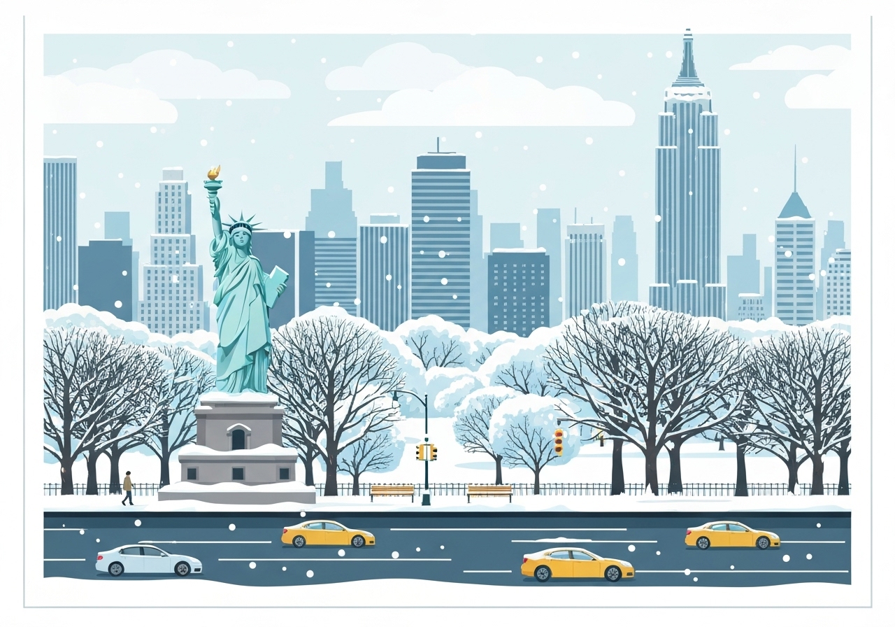
Lead
On the night of Saturday, Dec. 13 into Sunday, Dec. 14, 2025, a winter storm moved into the Tri-State area, prompting a Winter Weather Advisory and a citywide First Alert Weather Day. The advisory covers New Jersey, New York City, Long Island, the lower Hudson Valley and southern Connecticut from 10 p.m. Saturday until 1 p.m. Sunday. Accumulating snow is expected across the region, followed by a sharp temperature drop that will freeze wet surfaces and create hazardous travel. City crews and transit agencies pre-deployed resources, and officials warned residents to prepare for plows, salt operations and bitter cold.
Key Takeaways
- The National Weather Service Winter Weather Advisory runs from 10 p.m. Saturday through 1 p.m. Sunday for the Tri-State area, including NYC and parts of New Jersey, Long Island and Connecticut.
- Expected snowfall: New York City generally 2–4 inches; southern Brooklyn/Queens/Staten Island 4–6 inches; Long Island 2–4 inches (North Shore) and 4–6 inches (South Shore); central Jersey and Jersey Shore 4–6 inches; most of northern New Jersey, the lower Hudson Valley and Connecticut 2–4 inches; higher elevations 1–2 inches.
- Peak snow period is roughly 12 a.m.–7 a.m. Sunday, with heavy bursts possibly producing up to 1 inch per hour; precipitation tapers from west to east by late morning.
- Winds will increase as the storm departs, with gusts near 25–35 mph and temperatures falling from the 30s to the teens by Sunday night; wind chill may feel like single digits or below zero in places.
- City operations: DSNY issued a snow alert from 7 p.m. Saturday through 2 p.m. Sunday, more than 700 salt spreaders were staged, and plows will start when 2 inches accumulate.
- Transit precautions: MTA crews monitored switches and platforms, salted and staged snow-fighting vehicles, and warned that some bus routes could be adjusted for road safety.
- Public health: NYC Emergency Management declared a Code Blue from 4 p.m. Saturday to 8 a.m. Sunday to protect people experiencing homelessness and to coordinate outreach to at-risk residents.
Background
The New York City region has seen unusually light Decembers in recent years, and this system was likely to deliver the most measurable December snow in the city since 2020. Meteorologists tracked a cold front that allowed the freezing line to shift onshore late Saturday night, changing rain to snow across the metropolitan area. The week began with temperatures running about 7.5°F below average, marking the coldest start to December in 18 years — a factor that increases the chance that wet surfaces will freeze quickly after snowfall stops.
Local agencies have well-established winter playbooks: sanitation departments pre-brine major arteries, salt spreaders and plows are staged, and transit authorities test and warm critical infrastructure such as switches. Still, even routine snow events can disrupt the dense, interconnected travel networks of the Tri-State area, so officials emphasized targeted preparations for high-traffic corridors, transit transfer points and neighborhoods with limited clearing capacity.
Main Event
The storm moved into the region Saturday night and intensified overnight. The prime window for accumulation was forecast between midnight and 7 a.m. Sunday, when colder air filtered in and the precipitation transitioned to snow. Forecasters warned of moderate to heavy snow at times, with brief bursts producing rates near 1 inch per hour and visibility reductions during the worst bands.
By around 7 a.m. Sunday the system was expected to weaken and exit eastward, with precipitation ending west-to-east through late morning. While overall accumulations were modest—generally 2–4 inches across much of the city—south and east-facing neighborhoods and coastal South Shore locations of Long Island were forecast to see the higher end of totals, 4–6 inches in spots.
As the storm departed, winds were projected to pick up, causing blowing snow and pockets of whiteout conditions in exposed areas. Temperatures were forecast to fall from the 30s in the morning to the teens by Sunday night; with gusts near 25–35 mph, wind chills were expected to create dangerously cold conditions with real-feel values in the single digits or below zero in places.
City crews initiated a Sanitation Department snow alert at 7 p.m. Saturday, brining major roadways in advance and positioning more than 700 salt spreaders and plows. The department planned to begin plowing once 2 inches accumulated. MTA officials said they were monitoring switches and tracks, salting platforms, pre-staging snow-fighting vehicles and preparing for selective bus service adjustments if roadways became unsafe.
Analysis & Implications
Even a relatively modest, fast-moving snow event can produce outsized disruption in a dense metropolitan region. Commuters face a compressed risk window: heavy snowfall and rush-hour timing combined with rapid post-snow temperature drops raise the likelihood of icy roads and persistent micro-freezing on bridges, ramps and untreated side streets. Emergency services and towing operations typically see elevated call volumes after similar storms, straining response times in neighborhoods with narrow streets.
Transit agencies tend to absorb the brunt of commuter impacts. While subways are less vulnerable to surface snow, bus routes and paratransit can suffer delays or detours; switch freezing remains a concern in colder systems. Early-season storms also test municipal readiness; brining and pre-staging are effective at reducing melting and refreeze, but resource allocation decisions—where to plow first, which bus routes to curtail—have real consequences for essential workers and residents with limited mobility.
Economically, short-duration storms can still affect retail, deliveries and construction scheduling. Schools and employers often weigh the expected intensity and timing: a dawn-heavy event that ends by late morning may not trigger widespread closures, but the rapid onset of bitter cold and icy surfaces could prompt targeted cancellations for outdoor activities and early dismissals in vulnerable districts.
Finally, the pattern of a colder-than-average start to December fits broader variability in early-winter conditions; however, one storm does not indicate a seasonal trend. Agencies and residents should treat this event as a reminder to review winter plans — from vehicle emergency kits to neighborhood check-ins for people at risk from extreme cold.
Comparison & Data
| Region | Forecast Snow (inches) |
|---|---|
| New York City (general) | 2–4 |
| Southern Brooklyn/Queens/Staten Island | 4–6 |
| Long Island (North Shore) | 2–4 |
| Long Island (South Shore) | 4–6 |
| Central Jersey & Jersey Shore | 4–6 (locally higher) |
| Northern NJ / Lower Hudson Valley / CT | 2–4 |
| Upper Hudson Valley & NW NJ | 1–2 |
These ranges reflect regional gradients caused by coastal temperature contrasts and storm track. South-facing coastal pockets and central Monmouth/Ocean County in New Jersey were identified as locations where local totals could edge above the stated ranges.
Reactions & Quotes
Officials and agencies issued short advisories and operational notes as the system approached. Context before and after each quote explains the source and implications.
“We have pre-treated major roadways and staged salt spreaders and plows to keep routes open and reduce ice formation.”
New York City Department of Sanitation (DSNY)
DSNY’s statement accompanied a citywide snow alert effective Saturday evening; the department emphasized brining ahead of the storm and a plow threshold of approximately 2 inches of accumulation.
“Our crews are monitoring switches and tracks and will adjust bus service if road conditions compromise safety.”
Metropolitan Transportation Authority (MTA)
The MTA framed its comment around protecting transit operations and minimizing commuter disruption, noting targeted adjustments rather than system-wide suspension were planned unless conditions deteriorated.
“A Code Blue is in effect to ensure people facing homelessness have access to shelter and outreach during the extreme cold.”
NYC Emergency Management
The Code Blue declaration signaled a coordinated outreach effort running from late Saturday afternoon through early Sunday morning to assist vulnerable residents during the temperature plunge.
Unconfirmed
- Exact neighborhood-level totals: precise snowfall in narrow city blocks (especially in urban canyons) will vary and were not confirmed during the advisory.
- Specific bus-route detours and timing: MTA warned routes may be adjusted but final route-level decisions depended on road conditions during the event.
- Localized power outages: while possible under wind and snow stress, any outages reported early Sunday were still being assessed by utilities.
Bottom Line
This Dec. 13–14 winter system was a compact storm that nevertheless brought measurable snow to much of the Tri-State area followed by a rapid and substantial temperature drop. Motorists and pedestrians should expect slick surfaces and limited windows for safe travel, especially during the overnight to morning transition and while winds pick up as the system departs.
Residents should follow local alerts, allow extra time if traveling, and check on neighbors who may be vulnerable to cold. City and transit agencies pre-staged resources to limit disruption, but outcomes will hinge on the storm’s exact track and how quickly crews can treat and clear the most critical corridors.
Sources
- CBS News — Local coverage and forecast summary (local news)
- New York City Department of Sanitation (DSNY) (official municipal agency)
- Metropolitan Transportation Authority (MTA) (official transit agency)
- National Weather Service (NWS) (federal weather service)