
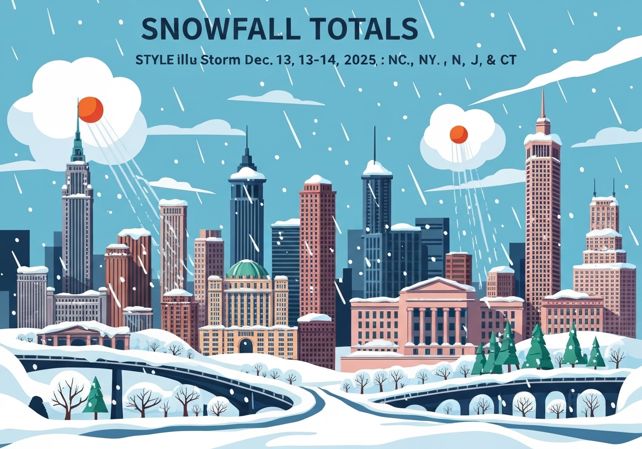
The first widespread snow of the 2025–26 season moved through the New York Tri-State area overnight into Sunday, Dec. 14, producing locally significant accumulations from Connecticut through New Jersey and into New York City. Reports collected by the National Weather Service and volunteer networks show amounts ranging from a trace to just over 7 inches, with the heaviest totals in inland New Jersey. Major airports recorded light accumulations (LaGuardia 1.7 in, JFK 2.6 in) while Central Park measured 1.1 inches. Sparta, N.J., and several Somerset and Hunterdon County locations reported the deepest snow, topping roughly 6–7.3 inches.
Key takeaways
- Storm timing: Snow began late Saturday night (Dec. 13) and persisted into Sunday morning (Dec. 14), with most measurements logged before midmorning.
- Range of totals: Official and volunteer reports show amounts from a few tenths of an inch to 7.3 inches at the highest verified site (Stanton, Hunterdon County, N.J.).
- Tri-State hotspots: Multiple central and western New Jersey towns reported 5–7 inches; parts of Suffolk and Nassau counties on Long Island saw 3–4 inches.
- New York City: Airports measured 1.7–2.6 inches (LaGuardia, JFK); Central Park registered 1.1 inches (Official NWS obs, 7:00 AM 12/14).
- Connecticut totals: Widespread light to moderate snow, with many towns reporting 0.5–2.5 inches and localized 2–3 inch pockets in New Haven and Fairfield counties.
- Impact: Road crews prioritized main roads; public reports and agency notes warned of slick local streets and slower morning commutes.
- Data sources: Measurements compiled from National Weather Service observations, CoCoRaHS, ASOS/ASOS-equivalent stations and trained spotters between 04:15–10:15 AM on Dec. 14, 2025.
Background
This system delivered the season’s first widespread measurable snow across the Tri-State region on Dec. 13–14, 2025. A relatively shallow, coastal-influenced low drew cold air inland overnight, producing steady light-to-moderate snowfall inland and lighter amounts closer to the immediate coast. Similar early-season coastal-to-inland gradients have produced the largest variability in totals in past years, with interior New Jersey and higher terrain typically seeing the most accumulation.
National Weather Service (NWS) spotter networks — including CoCoRaHS volunteers, trained spotters, and automated observing platforms — provided the bulk of the hourly and post-event measurements used here. Local public-works and emergency-management agencies typically prioritize arterial treatments and reporting during these first storms of the season, so early data are labeled preliminary pending quality control by the NWS.
Main event
The precipitation transitioned to snow late on Dec. 13 as surface temperatures fell to near or below freezing across much of the interior Tri-State area. Snow intensity generally remained light to moderate; there were few if any reports of heavy banding or thundersnow. The storm’s coastal proximity limited heavier inland totals to localized pockets rather than a broad swath of deep snow.
By 6–10 a.m. on Dec. 14, spotter reports and automated stations recorded the largest accumulations in central and northern New Jersey. Examples include 7.3 inches at Stanton (Hunterdon County), 7.1 inches at Branchburg (Somerset County), and multiple readings of 6–6.8 inches at Moorestown (Burlington County), Trenton Mercer Airport (Mercer County) and Jackson (Ocean County). These higher totals align with the inland enhancement where colder air and slightly higher elevation enabled more efficient accumulation.
On Long Island and coastal New York, amounts were lighter but notable in spots: Centre Island and Islip each reported about 4 inches in more sheltered or elevated microclimates, while LaGuardia and JFK recorded 1.7 and 2.6 inches respectively. Connecticut saw mostly 0.5–2.5 inches across many towns, with select reporting locations in Fairfield and New Haven counties closer to 2–2.5 inches.
Analysis & implications
This storm underscores the classic coastal gradient in early-season events: modest coastal totals and stronger inland accumulations. The highest readings clustered in interior New Jersey reflect a combination of colder near-surface air, marginally higher elevations and localized mesoscale enhancement. That pattern often produces spotty but impactful snowfall for commuter corridors west of the immediate coast.
Accumulations in the 4–7 inch range across parts of central New Jersey are sufficient to disrupt morning travel, slow bus and delivery operations, and require overnight plow/salt cycles for municipalities. However, the absence of widespread heavy banding limited the scale of travel disruptions and largely confined issues to secondary streets and untreated surfaces.
For the larger winter season outlook, an early measurable event does not by itself predict a more active or quieter winter; it does, however, remind agencies and the public to check vehicle winter readiness and municipal salt inventories. Forecasters will watch subsequent coastal and inland systems for similar gradients that can rapidly change local totals.
Comparison & data
| Location | County/State | Reported Snow (in) |
|---|---|---|
| Stanton | Hunterdon County, NJ | 7.3 |
| Branchburg | Somerset County, NJ | 7.1 |
| Moorestown | Burlington County, NJ | 7.0 |
| Pennington | Mercer County, NJ | 7.0 |
| Martinsville | Somerset County, NJ | 7.0 |
| Trenton Mercer Airport | Mercer County, NJ | 6.8 |
| Jackson | Ocean County, NJ | 6.8 |
| Central Park (Manhattan) | New York, NY | 1.1 |
The table above isolates the largest verified and widely reported totals from the NWS summary and volunteer reports between 04:15 and 10:15 AM on Dec. 14, 2025. It illustrates the inland-heavy distribution in New Jersey compared with much lighter readings within New York City and along exposed coastlines. These point reports are preliminary observations; the NWS will perform routine review and quality control before final archival.
Reactions & quotes
State and county winter-operations teams reported proactive sanding and plowing on primary routes overnight and into Sunday morning to keep major arteries passable for the morning commute.
“Snowfall reports remain preliminary; travel may be hazardous on untreated surfaces this morning.”
National Weather Service (official)
Local public-works leaders emphasized that secondary and residential streets often lag behind main routes during the first rounds of plowing, and urged residents to allow crews time to clear neighborhoods.
“Our crews are concentrating on main roads first; please avoid nonessential travel until side streets are treated.”
County Public Works / Emergency Management (official)
On social media and public reports, many residents described easier-than-expected commutes on main arteries but slick conditions on smaller roads, consistent with the measured spread between coastal and inland totals.
“We woke up to a few inches — not a blizzard, but enough to slow pickup and school traffic.”
Local resident (public reports)
Unconfirmed
- Some public reports submitted via social media and local postings had inconsistent timestamps and were not included in the NWS preliminary summary; those claims remain unverified.
- Isolated microclimate reports of higher pocket totals in small New Jersey valleys have not yet been quality-checked by NWS staff and therefore are flagged as provisional.
Bottom line
This Dec. 13–14 event was the season’s first measurable snowfall across the Tri-State area, producing light accumulations on the coast and pockets of 4–7+ inches inland, especially across central New Jersey. The distribution reflects a classic coastal-to-inland gradient in early-season storms; interior lowlands and higher terrain saw the greatest accumulations.
Residents and local agencies should treat these totals as preliminary until NWS quality control is complete, but the measured amounts were sufficient to slow travel on secondary roads and require standard winter-plow operations. Forecasters recommend checking local NWS office updates for final, quality-controlled totals and any follow-up advisories as the winter season progresses.
Sources
- ABC7 New York — Local television news report summarizing regional snowfall (media).
- National Weather Service (NWS) — Official observations and preliminary snowfall reports compiled from ASOS, CoCoRaHS, trained spotters and public submissions (official).
- CoCoRaHS — Volunteer precipitation network reports cited in NWS preliminary data (volunteer network).