
New report finds the Arctic continues to warm faster than the planet as a whole
Lead: A National Oceanic and Atmospheric Administration (NOAA) update released December 16, 2025, reports the Arctic is warming and changing more quickly than the global average, with direct local effects and global implications. Scientists documented striking phenomena — including hundreds of bright orange “rusting” rivers across northern Alaska — linked to thawing permafrost and the release of iron and other metals. The report highlights record-low sea ice extent in March 2025 and large ice losses, including 129 billion tons from the Greenland Ice Sheet during 2025. Researchers warn these regional shifts affect sea level, ecosystems and fisheries, and they underscore growing monitoring needs.
Key Takeaways
- NOAA released the 2025 Arctic Report Card on December 16, 2025, continuing a 20-year annual record of Arctic change.
- Hundreds of rivers and streams in Alaska’s Brooks Range are turning bright orange; observations first surfaced around 2018 and have since been confirmed by satellite and field tests.
- The Greenland Ice Sheet lost 129 billion tons of ice in 2025, a continuation of long-term mass loss trends documented by multiple measurement systems.
- Arctic glaciers outside Greenland, including Alaskan glaciers, have thinned rapidly; Alaskan glaciers have averaged about 125 vertical feet of loss since the 1950s.
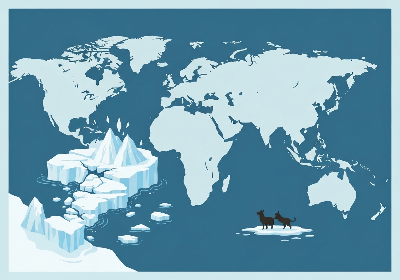
- March 2025 recorded the lowest maximum sea-ice extent in the 47-year satellite record, linked to warmer, saltier waters reaching higher latitudes (“Atlantification”).
- Warming in the Bering Sea is shifting species ranges — southern species are increasing while Arctic species decline — with consequences for Alaska Pollock, salmon and local subsistence hunting.
- Permafrost thaw is mobilizing naturally occurring iron, copper and aluminum into waterways; researchers are studying but have not yet documented community-wide drinking-water contamination.
Background
For two decades NOAA’s Arctic Report Card has compiled peer-reviewed observations to track rapid environmental change in the high north. The report is written by an independent network of scientists and released annually to synthesize measurements across ice, ocean, atmosphere and ecosystems. That continuity makes the series a key baseline for detecting accelerating trends such as ice-sheet mass loss, glacier thinning and shifts in ocean properties.
The Arctic is warming faster than the global mean, a disparity driven by feedbacks like sea-ice loss and changing surface albedo. Those feedbacks amplify local heating and alter ocean-atmosphere exchanges that reverberate beyond the region. Local communities, commercial fisheries and global systems — including sea-level rise pathways and mid-latitude weather patterns — are connected to these Arctic processes.
Main Event
Field teams and satellite imagery have documented hundreds of streams and rivers in the Brooks Range and adjacent basins turning orange. USGS hydrologist Josh Koch reported the phenomenon drew attention around 2018 from pilots and on-the-ground observers; subsequent sampling shows iron-rich runoff from thawing permafrost as a primary source. When formerly frozen soils thaw, water and oxygen mobilize iron and other metals, which precipitate and stain riverbeds and water columns orange-red as they enter flowing channels.
Researchers emphasize the coloration is largely due to naturally occurring iron, not industrial discharge, though the same thawing that releases iron also liberates copper, aluminum and other elements. Those metals can be toxic at sufficient concentrations and may affect fish health and food webs if they accumulate; scientists are conducting toxin assays and ecological monitoring to detect impacts across trophic levels.
Concurrent cryospheric signals in the report underline the scale of change: Greenland’s 129 billion-ton loss in 2025 adds to global sea-level rise, and Alaskan glacier thinning since the 1950s (average ~125 vertical feet) has already changed local hydrology and led to events like sudden glacial outburst floods. The report also documents an “Atlantification” pattern — warmer, saltier waters moving into Arctic basins — which contributes to record-low March sea-ice extent in the 47-year satellite era.
Analysis & Implications
The mobilization of iron and other metals from thawing permafrost is a visible, fast-moving signal of deeper change. On short timescales (days to weeks), surface and subsurface hydrology can shift, producing pronounced color changes in rivers and altering sediment and nutrient fluxes. Over longer times, repeated pulses of mobilized metals could change food-web dynamics, posing risks to fish populations that supply local subsistence and commercial fisheries.
Glacial and ice-sheet losses, quantified here by 129 billion tons from Greenland in 2025 and multi-decade thinning of mountain glaciers, contribute to global mean sea-level rise and raise local flood and erosion risks. Communities and infrastructure in low-lying and coastal zones face growing exposure to storm surge, higher tides and accelerated shoreline retreat, increasing adaptation costs and planning complexity.
Oceanographic shifts such as Atlantification have ecological and economic consequences: species composition is shifting in the Bering Sea, affecting commercially important stocks like Alaska Pollock and salmon. Fisheries management, indigenous subsistence practices and regional economies will need to adapt to changing stock distributions and timing, complicating governance and harvest stability.
Comparison & Data
| Indicator | Recent Value / Trend | Context |
|---|---|---|
| Greenland Ice Sheet loss (2025) | 129 billion tons | Continues a long-term mass-loss trend monitored by satellite altimetry and gravimetry. |
| Alaskan glacier thinning (since 1950s) | ~125 vertical feet (average) | Substantial thinning has altered glacial hydrology and increased outburst flood risk. |
| Sea ice extent (March 2025) | Lowest in 47-year satellite record | Record low maximum and continued seasonal decline linked to warmer, saltier waters. |
The table draws together the report’s major quantitative signals. While each indicator uses distinct observation methods (satellite gravimetry for ice mass, in situ surveys for glaciers, passive microwave sensors for sea ice), they converge on an accelerating Arctic transformation. Integrated monitoring remains essential to attribute changes to physical drivers and to predict regional impacts.
Reactions & Quotes
“The most recent year was the warmest and wettest in the Arctic’s recorded history,”
Matthew Druckenmiller, NSIDC (lead editor, Arctic Report Card)
Druckenmiller framed the 2025 observations as part of a multiyear trend with global repercussions for sea level and climate patterns.
“We heard from people who live in the region — pilots and park staff — about bright orange rivers, and subsequent sampling confirmed iron-rich runoff,”
Josh Koch, U.S. Geological Survey
Koch described how local reports led to satellite and field follow-up that documented the spatial extent of river discoloration.
“The report highlights the critical value of sustained, collaborative observations,”
Acting NOAA Chief Scientist Steve Thur (statement)
Thur emphasized NOAA’s commitment to maintaining long-term monitoring despite shifts in federal research priorities.
Unconfirmed
- Whether metals released by permafrost thaw will reach concentrations that cause chronic contamination of rural drinking-water systems remains undetermined; localized tests to date have not found widespread human-health impacts.
- The precise long-term bioaccumulation pathways of thaw-released metals through Arctic food webs are still being studied; empirical time-series are limited.
- The extent to which recent federal research-policy changes will reduce future long-term Arctic monitoring capacity is uncertain and depends on agency decisions and funding.
Bottom Line
The 2025 Arctic Report Card documents a suite of interlinked changes — thawing permafrost, colored rivers, glacier and ice-sheet mass loss, and record sea-ice minima — that together signal an accelerating regional transformation with global consequences. Visible phenomena like “rusting rivers” provide tangible evidence of processes that also have less visible but equally important outcomes, such as altered biogeochemistry and sea-level contribution.
Sustained, collaborative observation networks are essential to detect ongoing change, attribute causes and guide adaptation measures for communities and industries that rely on Arctic systems. Policymakers, resource managers and scientists will need to prioritize monitoring, local engagement and flexible management strategies to respond to continuing rapid shifts in the Arctic.
Sources
- NPR (media report summarizing NOAA Arctic Report Card; December 16, 2025)
- NOAA Arctic Report Card (official NOAA report and data portal)
- U.S. Geological Survey (research and field observations — Josh Koch, USGS)
- National Snow and Ice Data Center (research organization; Matthew Druckenmiller affiliation)