
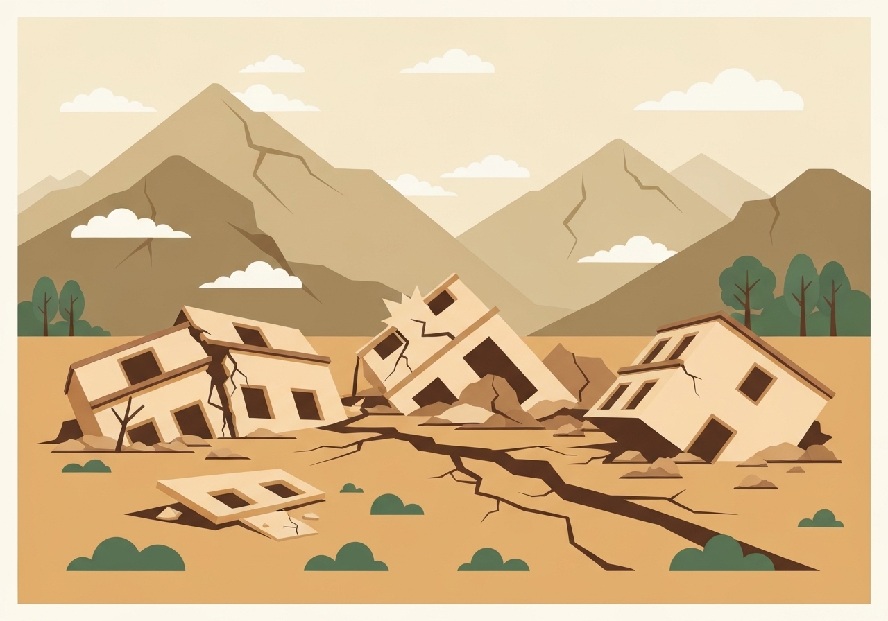
A magnitude 6.0 earthquake struck eastern Afghanistan near the Pakistan border late Sunday, killing at least nine people and injuring 25 in Nangarhar Province, according to local health officials. The US Geological Survey (USGS) located the epicenter 27 km (16.77 miles) northeast of Jalalabad at a depth of 8 km (4.97 miles), with strong aftershocks following and officials warning the toll could rise.
Key Takeaways
- Magnitude 6.0 quake at 11:47 p.m. local time Sunday in Nangarhar, near the Pakistan border.
- Epicenter: 27 km (16.77 miles) NE of Jalalabad; depth 8 km (4.97 miles), per USGS.
- Casualties so far: at least 9 dead and 25 injured in Nangarhar, provincial health department told Reuters.
- USGS estimates nearly 500,000 people experienced strong to very strong shaking.
- Aftershocks: M4.5 about 20 minutes later and M5.2 afterward, both at 10 km (6.21 miles) depth.
- USGS PAGER issued an Orange alert, indicating the potential for significant casualties and damage.
- Authorities mobilized rescue teams; shaking reported more than 100 miles away in Kabul.
Verified Facts
USGS data places the main shock at 11:47 p.m. local time in eastern Afghanistan’s Nangarhar Province, 27 km northeast of Jalalabad, with a shallow focal depth of 8 km. Shallow earthquakes of this size can inflict severe damage on vulnerable buildings, especially in rural or informal settlements.
Initial casualty figures from Nangarhar list at least nine deaths and 25 injuries, according to a spokesperson for the provincial health department cited by Reuters. These numbers reflect early assessments and may evolve as emergency teams reach more communities.
Two notable aftershocks were recorded in the same region: a magnitude 4.5 roughly 20 minutes after the main shock and a magnitude 5.2 later on, both at 10 km depth, the USGS reported. Aftershocks of this scale can compound damage and complicate rescue operations.
The USGS PAGER system issued an Orange alert for the event, a level historically associated with significant casualties and the need for regional or national response. PAGER also indicated that nearly half a million people likely felt strong to very strong shaking.
Context & Impact
Eastern Afghanistan’s proximity to major fault systems that extend into Pakistan makes the region highly seismically active. Vulnerability is amplified by construction that often lacks modern seismic standards.
Residents in Kabul, more than 100 miles from the epicenter, reported intense shaking and evacuations from apartment blocks. Nighttime quakes can heighten risks, as people are indoors and visibility is limited for search-and-rescue.
Afghanistan has suffered deadly earthquakes in recent years. In October 2023, a magnitude 6.3 event in the west killed more than 2,000 people, underscoring how even moderate-to-strong quakes can be devastating where infrastructure is fragile.
| Metric | Value |
|---|---|
| Main shock time | |
| Magnitude | 6.0 (USGS) |
| Epicenter | 27 km NE of Jalalabad (Nangarhar) |
| Depth | 8 km |
| Aftershocks | M4.5 (~20 min later), M5.2 (later), both 10 km depth |
| PAGER alert | Orange (significant casualties possible) |
Official Statements
Taliban officials said there were “human casualties and financial damages” in eastern provinces and that local and national teams are engaged in rescue and relief operations.
Zabihullah Mujahid, via X
A Kabul resident described a strong jolt that drove neighbors into the street to avoid being trapped indoors.
Eyewitness account to CNN
Unconfirmed
- The final death toll across all affected provinces remains uncertain.
- The extent of structural damage in remote or mountainous areas has not yet been fully assessed.
- Possible secondary hazards (e.g., landslides) have not been confirmed.
Bottom Line
A shallow, magnitude 6.0 earthquake has caused fatalities and injuries in eastern Afghanistan, with aftershocks and an Orange PAGER alert pointing to the risk of broader impacts. As search-and-rescue efforts expand beyond initial sites, casualty figures and damage assessments are likely to change.