
Lead: On December 15, 2025, seismologists reported evidence of an unusually thick, low‑density rock layer beneath the Bermuda archipelago that may explain why the islands appear to ‘float’ in the middle of the Atlantic. The finding, published in a paper in Geophysical Research Letters in November 2025, comes from seismic recordings made at a station on Bermuda that imaged layers about 31 miles (≈50 km) below the surface. Researchers say the anomalous mass is more than 12 miles (≈19 km) thick and is less dense than surrounding oceanic crust and upper mantle, forming a raft‑like body that uplifted the seafloor by roughly 1,600 feet (≈488 m). If confirmed, the structure would be unprecedented beneath an intraplate volcanic island and helps explain why Bermuda did not subside after volcanic activity ceased about 30 million years ago.
Key Takeaways
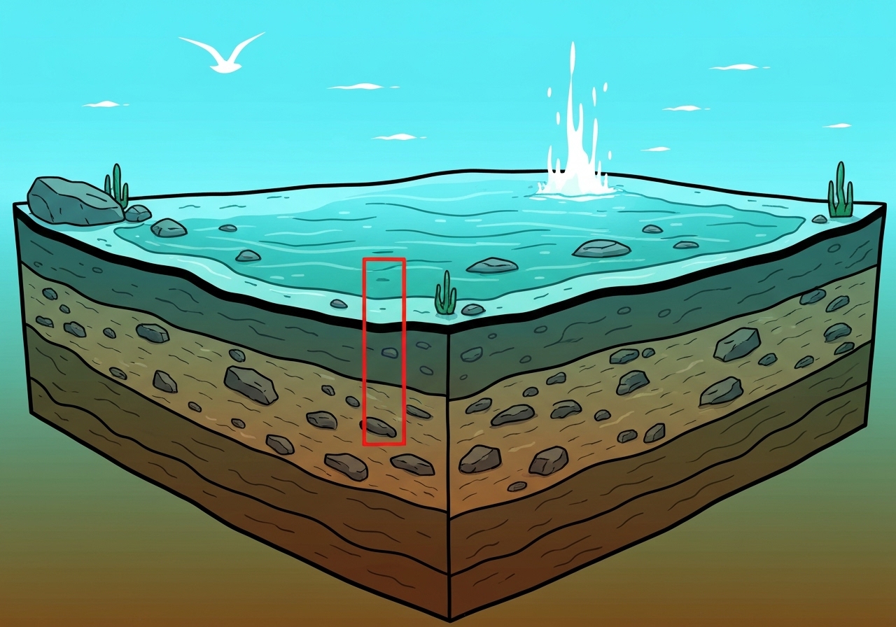
- Seismic imaging recorded at a Bermuda station reveals a discrete, low‑density rock layer about 31 miles (≈50 km) beneath the islands.
- The anomalous mass measures more than 12 miles (≈19 km) in thickness, thicker than known intraplate structures documented elsewhere.
- The layer sits between oceanic crust above and the rigid upper mantle below, rather than conforming to the usual mantle‑crust layering.
- Researchers estimate the solidified mass raised the local seafloor by about 1,600 feet (≈488 m), helping maintain island elevation after volcanism ended ~30 million years ago.
- Data come from global earthquake recordings analyzed for abrupt seismic‑wave changes beneath Bermuda; the primary results are reported in Geophysical Research Letters (Nov 2025).
- This structure has not been observed beneath other mid‑plate islands, suggesting a locally unique formation or an underrecognized phenomenon.
- If composed of lower‑density mantle material intruded into the crust, the body would alter models of intraplate volcanism and crust‑mantle interaction.
Background
Volcanic islands commonly owe their elevation to buoyant upwelling of hot mantle material—so‑called mantle plumes or hotspot activity—that pushes the crust upward while eruptions build an island. In many hotspot islands, active magma supply sustains uplift; when eruptions cease, islands typically erode and subside. Bermuda, however, presents a long‑standing puzzle: its last major eruptions occurred about 30 million years ago, yet the archipelago remains topographically distinct in the open Atlantic.
Seismology provides a window into such puzzles by tracking how earthquake waves change speed and direction when they pass through different rock types. Sudden changes in wave arrivals—called discontinuities—can mark boundaries between crustal layers, mantle lithosphere, and anomalous bodies. The new study analyzed seismic waves from large earthquakes recorded at a Bermudian station to map signals from roughly 31 miles (≈50 km) depth beneath the islands.
Main Event
Using global seismic events recorded in recent years, the research team stacked and analyzed wave arrivals to detect abrupt travel‑time changes beneath Bermuda. Where waves exhibit sharp shifts indicates a change in material properties; the team identified a thick, lower‑velocity zone more than 12 miles (≈19 km) thick sandwiched between the oceanic crust and the upper mantle. That geometry differs from the typical oceanic profile, where a rigid upper mantle underlies a thinner crustal layer.
The authors interpret the anomaly as a mass of mantle‑derived material injected into the base of the crust during the last major magmatic phase around 30 million years ago. When that injected mantle material cooled and solidified, its lower density relative to surrounding rocks would have produced a buoyant, raft‑like body. Modeling in the paper indicates this body could have uplifted the seafloor by roughly 1,600 feet (≈488 m), consistent with present bathymetric measurements near Bermuda.
The team emphasizes that the discovery rests on detecting sharp seismic discontinuities and contrasting wave speeds; the interpretation—that the body is lower density mantle material emplaced into the crust—is a best‑fit explanation supported by the waveform patterns and regional geology. The authors also note that structures of comparable thickness have not been documented beneath other intraplate islands, marking this as an unusual case if confirmed by further studies.
Analysis & Implications
If the interpreted structure is indeed a thick, low‑density body formed by mantle injection, it forces a rethinking of how intraplate islands can remain elevated long after volcanic eruptions cease. Traditional models rely on long‑lived plume buoyancy or lithospheric flexure; a solidified, low‑density intrusion provides an alternative mechanism for sustained buoyancy without active magma supply. That could explain why Bermuda’s carbonate platform and reefs persisted while many other extinct volcanic islands subsided.
On a broader level, the finding suggests that transient, deep magmatic processes may leave durable, density‑contrast bodies within the crust that influence surface topography for tens of millions of years. If similar but thinner bodies exist elsewhere, they may have been overlooked because seismic surveys lacked resolution or station geometry to reveal thick, intruded layers. Confirming whether Bermuda is unique or representative will require additional seismic arrays and targeted marine geophysical surveys.
Economically and environmentally, understanding the subsurface structure has implications for hazard assessment, groundwater and carbonate platform stability, and resource evaluation. While Bermuda is not an active volcanic hazard, the new model affects long‑term coastal evolution models and could change projections for reef exposure and island subsidence under future sea‑level rise scenarios.
Comparison & Data
| Parameter | Value (imperial) | Value (metric) |
|---|---|---|
| Imaged depth | 31 miles | ≈50 km |
| Anomalous layer thickness | >12 miles | >19 km |
| Estimated seafloor uplift | ≈1,600 ft | ≈488 m |
| Last major eruptions | ~30 million years ago | ~30 Ma |
The table summarizes the principal numerical findings reported in the paper. These measurements derive from seismic discontinuity mapping and model inversion; uncertainties arise from station coverage, seismic wave path sampling, and assumptions about rock elastic properties. Additional marine gravity and seismic refraction surveys could refine the thickness and density contrast estimates and reduce uncertainty in uplift calculations.
Reactions & Quotes
“We identified a persistent, low‑velocity zone beneath Bermuda that can account for long‑term buoyancy after volcanism ceased.”
Study authors (Geophysical Research Letters, Nov 2025)
The paper frames that observation as a plausible mechanical explanation for Bermuda’s unusual persistence as an island despite inactive volcanism for ~30 million years.
“The geometry and thickness of the structure are unlike typical oceanic crustal profiles found beneath mid‑plate islands.”
Study summary (research team)
Authors note the absence of comparable documented structures beneath other intraplate islands, calling for targeted surveys to assess whether Bermuda is exceptional or simply better imaged.
Unconfirmed
- The precise composition of the low‑density layer (whether it is altered mantle, partially molten rock, or chemically distinct crust) remains unconfirmed pending direct sampling or additional geophysical constraints.
- Whether equivalent thick, low‑density intrusions exist beneath other intraplate islands is currently unknown; limited global seismic coverage may have hidden similar structures elsewhere.
- The timing and exact mechanism of emplacement—whether a single massive injection or multiple pulses over millions of years—are not resolved by the seismic imaging alone.
Bottom Line
The new seismic study offers a plausible, data‑based mechanism for Bermuda’s long‑term buoyancy: a more than 12‑mile‑thick, lower‑density rock body lodged between oceanic crust and the upper mantle that lifted the seafloor by about 1,600 feet after volcanism ended ~30 million years ago. This interpretation, if upheld by additional geophysical surveys and modeling, broadens the range of processes that can sustain island elevation long after volcanic activity ceases.
Next steps include targeted marine gravity, refraction surveys, denser seismic deployments, and petrological sampling where feasible to constrain composition, density contrast, and emplacement history. Confirming or falsifying the model will determine whether Bermuda is an exceptional case or the first clearly imaged example of a more widespread but previously unresolved class of crustal buoyancy features.