
Lead
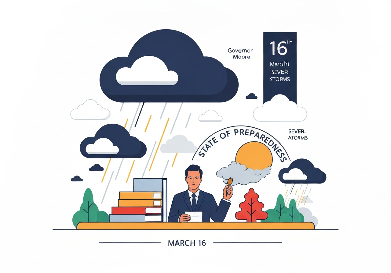
Governor Wes Moore declared a State of Preparedness for Maryland on Monday, March 16, as a line of severe storms moved across the state with threats of damaging winds, hail and an elevated tornado risk. State agencies, including emergency management, transportation, law enforcement and public health, have been ordered to coordinate readiness and information-sharing. The Department of Emergency Management is activating the State Emergency Operations Center and is monitoring the system as it advances from western Maryland in the mid-morning toward the eastern shore into the evening. Officials warned that the storms could produce structural damage, downed trees and power lines, and urged residents to shelter if warnings are issued and to follow local forecasts closely.
Key Takeaways
- Governor Wes Moore declared a State of Preparedness for Maryland on March 16 to coordinate state-level readiness ahead of a major severe-storm event.
- The National Weather Service forecasters warned of severe thunderstorms with damaging winds, hail and tornadoes, and gusts potentially reaching 70–80 mph.
- Storm timing: the line is expected to enter Western Maryland mid-morning on March 16 and traverse eastward through the day into the evening.
- The State Emergency Operations Center will be activated and multiple agencies are aligning response plans, including transportation and public-utility coordination.
- Residents were advised to prepare emergency kits, charge devices, secure loose objects, postpone nonessential travel and have shelter plans if tornado warnings are issued.
- Text alert options: send MdReady to 211-631 for English alerts and MdListo for Spanish, and check local forecasts at weather.gov/lwx.
Background
State declarations of preparedness are a preemptive tool used to concentrate resources and streamline information-sharing among agencies before an incident escalates. Maryland’s Department of Emergency Management typically uses the State Emergency Operations Center to coordinate logistics, public messaging and interagency priorities when a region-wide hazard is imminent. The governor’s directive asks multiple departments—emergency management, transportation, law enforcement and health—to align staging, inspections and public-safety communications.
Severe convective systems like the one forecast for March 16 can produce multiple hazards at once: straight-line wind damage, localized tornadoes and large hail capable of damaging vehicles and roofs. Those combined threats increase the complexity of responses for first responders and utilities, which must prioritize both life-safety calls and critical infrastructure protection. In populated corridors and along major highways, high winds and debris commonly cause cascading travel disruptions and extended power outages.
Main Event
On the morning of March 16, state officials briefed local emergency managers and announced a readiness posture to prepare for the approaching cold front. The system is expected to form a line of thunderstorms, arriving in Western Maryland mid-morning and progressing eastward through the afternoon and evening. National Weather Service forecasts accompanying the governor’s statement highlighted the risk of damaging wind gusts, hail and tornado-producing storms as the primary hazards.
The Department of Emergency Management signaled activation of the State Emergency Operations Center to facilitate resource requests, situational awareness and interagency coordination. Transportation and utility agencies said they would stage crews in areas most likely to see outages and debris. Officials advised residents to secure outdoor furniture and equipment, charge devices ahead of possible outages, and postpone travel if possible while the system is moving through.
Emergency guidance emphasized immediate sheltering for anyone issued a Tornado Warning and reminded residents to keep generators outdoors and at least 20 feet from homes, away from windows, doors and vents. Local alerts and updated forecasts were designated as the authoritative sources for timing and impacts for specific counties and municipalities.
Analysis & Implications
Widespread storms capable of producing 70–80 mph gusts can produce structural impacts similar to those associated with a weaker hurricane in isolated areas: extensive tree failure, roof damage and long-distance power outages. Even if tornadoes occur only in isolated pockets, they significantly increase the risk to life and complicate search-and-rescue priorities for emergency services. Utilities typically prepare through mutual-aid agreements and pre-positioned crews, but high gusts and debris can delay safe restoration work.
Transportation impacts are likely to be pronounced during peak storm passage—fallen trees and downed lines often force road closures and cause multi-hour or multi-day delays on major corridors. For commuter-dependent regions, this can ripple into economic losses from delayed goods movement and workforce absenteeism. Public-health priorities in widespread outages include maintaining communications for medical devices and ensuring temperature control for vulnerable populations.
The governor’s preparedness order reduces administrative friction for resource sharing and information flow between state and local agencies, which is critical in fast-moving weather events. Early activation of coordination centers helps prioritize life-safety missions, positions repair crews and improves public messaging to reduce exposure. Still, outcomes will depend on the storm’s exact track and intensity, plus local preparedness at the household level.
Comparison & Data
| Area | Expected Timing | Primary Threats |
|---|---|---|
| Western Maryland | Mid-morning, March 16 | Damaging winds, hail, tornado risk |
| Central Maryland | Afternoon, March 16 | Damaging winds, travel disruption, outages |
| Eastern Shore | Late afternoon into evening, March 16 | Wind gusts, localized tornado risk |
The table above summarizes the statewide timing and primary hazards as outlined by state and federal forecasts. Because convective systems evolve rapidly, county-level forecasts from the National Weather Service remain the most precise source for timing and warnings. Officials recommend following those localized products for shelter-in-place decisions and travel advisories.
Reactions & Quotes
The governor framed the declaration as a precautionary measure to prioritize public safety and state readiness. Officials urged residents to prepare early and stay informed through official channels.
“The safety of Maryland families is our top priority; prepare early and be ready to shelter if warnings are issued,”
Governor Wes Moore (official statement)
Maryland Department of Emergency Management leadership emphasized practical steps households should take and the agency’s role in coordinating response.
“We are coordinating with state and local partners to stage resources and keep residents informed—charge devices, know where to shelter, and sign up for local alerts,”
Russ Strickland, Maryland Department of Emergency Management (statement)
Unconfirmed
- The exact storm track, intensity of individual tornadoes (if any), and the geographic distribution of the strongest wind gusts remain uncertain until closer to and during the event.
- Estimates of potential damages, outage counts and precise economic impacts are not available at this time and will depend on the storm’s final behavior and affected locations.
Bottom Line
Maryland’s March 16 State of Preparedness is a proactive step to reduce response friction and encourage citizen preparedness ahead of a high-impact severe-storm event. Given forecasters’ warnings of 70–80 mph gusts and an elevated tornado threat, early individual and community actions—shelter plans, charged devices, secured outdoor items and avoidance of travel—will reduce risk and speed recovery.
Officials and emergency managers will rely on localized National Weather Service updates and real-time reports to allocate resources and issue warnings. Residents should prioritize official alerts and local guidance: take shelter on a Tornado Warning, keep generators outdoors and at least 20 feet from living spaces, and use the state and federal links below for the latest advisories.