
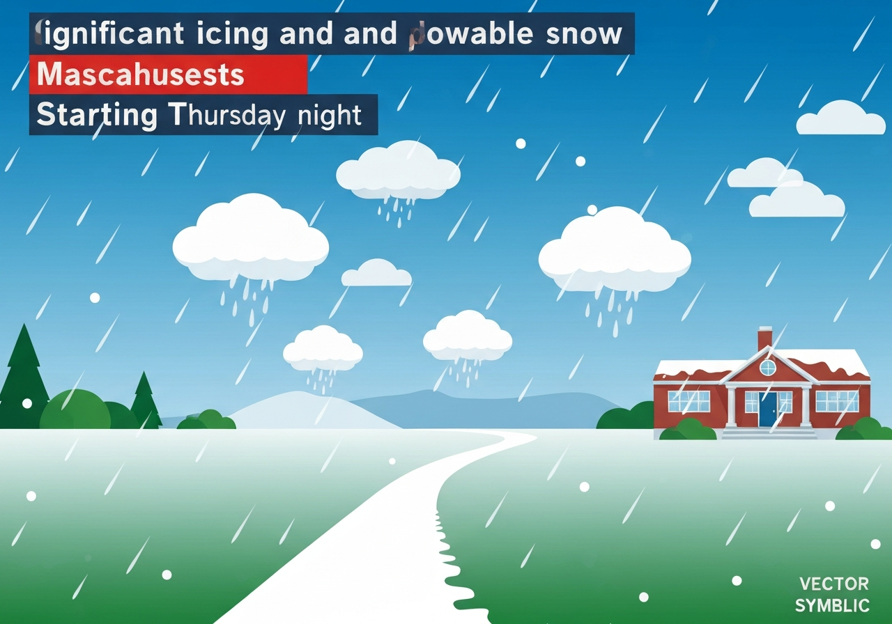
Lead: An active winter system is expected to bring a mix of freezing rain, sleet and localized plowable snow to parts of Massachusetts beginning Thursday night into early Friday, with the worst travel impacts concentrated between 9 p.m. Thursday and 9 a.m. Friday. CBS Boston updated its advisory at 8:52 a.m. EST on March 5, 2026, warning of ice accretion—especially in Worcester and western Massachusetts—plowable snow in parts of Essex County, and heavy rain with localized flooding across southeastern Massachusetts. Untreated roadways are likely to become slick quickly where freezing rain occurs, and power and tree damage are possible where ice builds up. Conditions should gradually improve through Friday, and a warm pattern is forecast for the following week that will accelerate melt.
Key takeaways
- The forecast window of greatest concern runs roughly 9 p.m. Thursday through 9 a.m. Friday (local time), when travel is expected to be most hazardous.
- Worcester County and parts of western Massachusetts and Connecticut face the highest ice risk, with up to 0.25 inch or more of ice accumulation on power lines, trees and exposed surfaces.
- Essex County and adjacent areas in southeastern New Hampshire could see the most snow late in the event, with a localized 3–6 inches possible between about 5 a.m. and 9 a.m. Friday.
- Boston Metro, northern Worcester and northern Middlesex counties are likely to receive 1–3 inches of mixed sleet and wet snow; southern Worcester and Norfolk counties are forecast to see a coating to 1 inch.
- Southeastern Massachusetts is expected to receive mainly heavy rain (about 1.0–1.5 inches), raising the risk of localized flooding where a persistent snowpack remains.
- Temperatures are forecast to rebound this weekend into the 50s, with a shot at near 70°F by midweek next week—conditions that will rapidly melt remaining snow cover.
Background
The New England region is moving through a pattern that brings frequent, fast-moving coastal and interior systems this early March. Temperature gradients across relatively short distances—warmer coastal air versus colder inland pockets—often produce mixed precipitation in Massachusetts, with freezing rain where surface temperatures are at or just below freezing and rain where air is warmer. That thermodynamic setup explains why a single system can produce ice, sleet, heavy rain and, at the tail end, wet snow within a few dozen miles of one another.
Previous storms this season have left a substantial and uneven snowpack across parts of Massachusetts, which raises runoff and localized flooding concerns when heavy rain falls on top of icy or compacted snow. Infrastructure and utility crews in the region have seen intermittent impacts from ice accumulation in prior events, and transportation agencies typically pre-position resources when forecasts show a mix of freezing rain and accumulating snow.
Main event
On Thursday daytime, scattered rain and sleet showers are expected with low overall impact, but conditions will become more organized after dark as steadier precipitation moves into the region. Temperatures are forecast to trend downward Thursday night, allowing rain to transition to sleet and freezing rain across areas along and north of the Massachusetts Turnpike (Mass Pike).
Through the overnight hours, southeastern Massachusetts will mostly see heavy rain; the inland corridor north and west of I-95 is where sleet and freezing rain will dominate. In the freezing-rain zone, untreated surfaces will become slick quickly, and the combination of slush and ice will make travel hazardous.
Ice accretion is expected to be most significant in Worcester County and parts of western Massachusetts and adjacent Connecticut. Forecast guidance points to up to 0.25 inch or more of ice on exposed surfaces and utility equipment, a quantity that can cause tree limb breaks and localized power outages if it coats branches and lines.
Toward the end of the event—early Friday morning—the air column is expected to cool enough north of the Massachusetts–New Hampshire border and across northeast Massachusetts for the precipitation to changeover to wet, locally plowable snow. The narrow window between roughly 5 a.m. and 9 a.m. Friday is the best chance for snowfall accumulation in that corridor.
Analysis & implications
The mixture of precipitation types complicates preparedness and response. Freezing rain and sleet create immediate surface hazards; even modest ice accretion (around 0.10–0.25 inch) can make roads treacherous and increase the likelihood of vehicle accidents during the overnight commute. Municipal plowing operations will be challenged where sleet and ice combine with wet snow, reducing clearance efficiency.
Power infrastructure is vulnerable where ice clings to lines and branches. The forecasted upper-end ice amounts (about 0.25 inch or more) can lead to localized outages, especially where tree-canopy contact with lines is common. Restoration times for isolated outages will depend on crew access and the spatial extent of damage.
Southeastern Massachusetts faces a distinct threat: heavy rain falling on an existing snowpack and frozen urban surfaces can overwhelm storm drains and create pockets of runoff and basement flooding. Forecast totals of 1.0–1.5 inches of rain in that area, combined with limited infiltration, raise the risk of temporary flood impacts to low-lying streets and properties.
Comparison & data
| Region | Primary precipitation | Forecast accumulation |
|---|---|---|
| Worcester / western MA | Freezing rain, sleet | Up to 0.25″ ice; sleet mixing |
| Essex County / SE New Hampshire | Wet snow (late) | Localized 3–6″ (5–9 a.m. Fri) |
| Boston Metro, northern Middlesex | Slushy sleet/wet snow | 1–3″ |
| Southern Worcester / Norfolk | Sleet / light snow | Coating–1″ |
| Southeastern MA | Heavy rain | 1.0–1.5″ (localized flooding risk) |
These ranges are based on regional model blends and the meteorological analysis in the March 5, 2026 briefing. The tight coastal–inland gradient makes local amounts highly variable; microclimates, sea-breeze effects and elevation differences can change precipitation type over short distances.
Reactions & quotes
Local meteorologists and officials are emphasizing caution during the overnight and early-morning hours.
“Travel will be most hazardous between about 9 p.m. Thursday and 9 a.m. Friday; plan to avoid nonessential trips during that window,”
CBS Boston weather team (media)
This guidance frames the forecasted worst-case timing for road and power impacts and reflects the regionwide coordination message sent to transportation and emergency managers.
“Where freezing rain accumulates, untreated roads and walkways will become treacherous quickly,”
Local emergency management official (statement summarized)
Emergency managers typically urge residents to prepare basic supplies, clear gutters if possible, and avoid travel while crews respond to incidents.
Unconfirmed
- Exact locations of 3–6 inch snow maxima are model-dependent; the most likely spot is a narrow corridor in Essex County and adjacent southeast New Hampshire, but the precise axis may shift in later runs.
- The scope and duration of any power outages cannot be precisely predicted; outage risk depends on tree contact with iced lines and the localized severity of ice accretion.
Bottom line
Residents of Massachusetts should treat Thursday night into early Friday as a high-risk window for winter impacts. Inland areas—particularly Worcester County and parts of western Massachusetts—should prepare for significant freezing rain and attendant hazards to travel and utilities. Coastal and northeastern pockets should watch for a late changeover to plowable snow, with localized 3–6 inch totals possible in a tight corridor.
Practical steps include delaying nonessential travel during the overnight hours, clearing gutters and storm drains where safely possible, charging devices and preparing for short-term power interruptions, and monitoring official National Weather Service updates and local media for any shifts in timing or amounts. Expect gradual improvement through Friday and a notable warm-up over the weekend into next week, which will accelerate snowmelt and change the hazard profile from ice and snow to runoff and flooding concerns in some neighborhoods.