
Summary: A fresh snow event is forecast to move across the Twin Cities area beginning Friday night and continuing into Saturday, with the primary axis of accumulation expected south of Minneapolis–Saint Paul (MSP). Weather agencies warn of accumulating snow that could make roads slick and slow travel during Friday night into Saturday morning. Local and state transportation officials advised travelers to plan for delays and to check later forecasts for updates on timing and amounts. Residents south of MSP should prepare for the highest likelihood of measurable snowfall through Saturday afternoon.
Key Takeaways
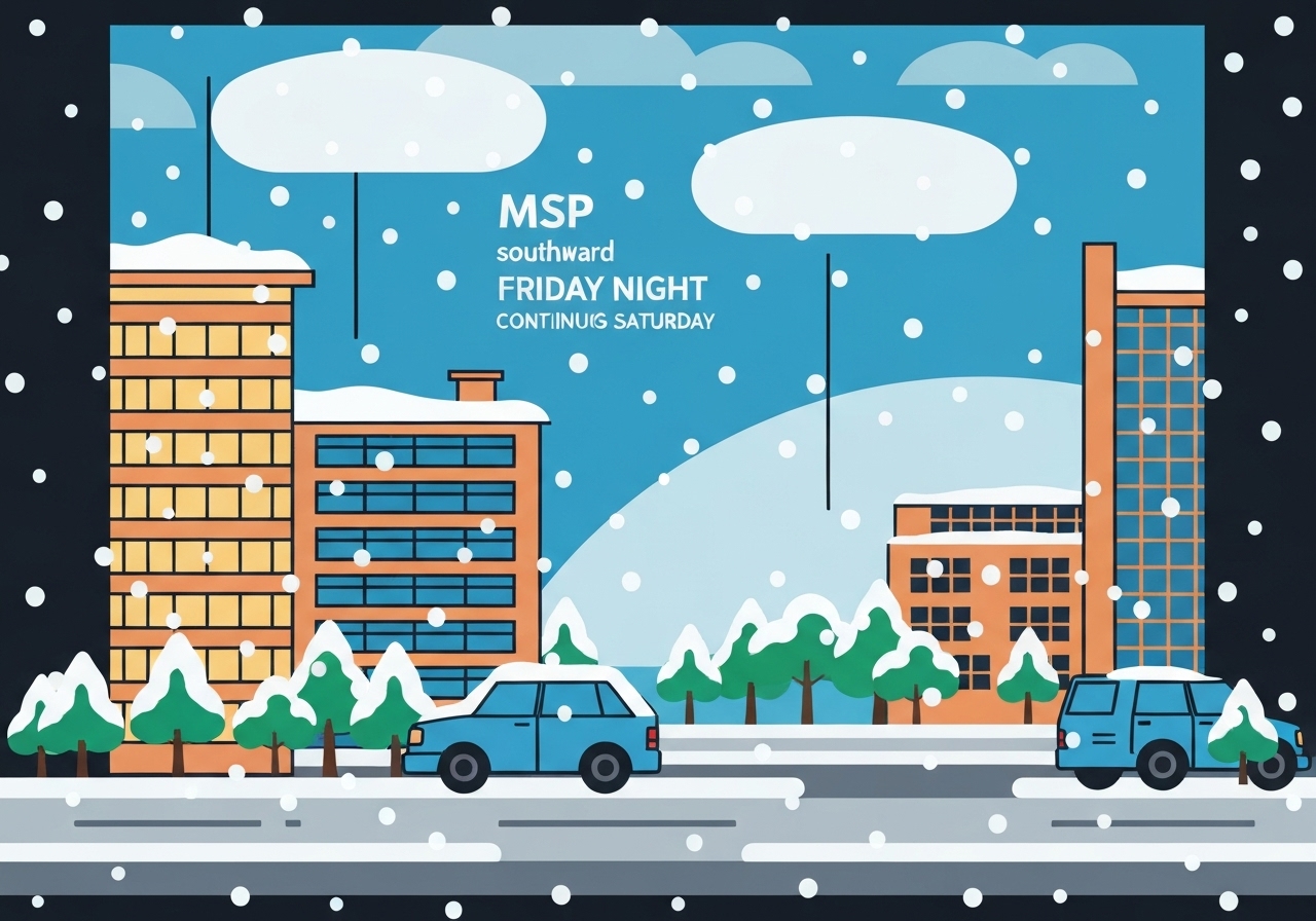
- The snow event is expected to begin Friday night and continue into Saturday, focused mainly from MSP southward.
- Travel impacts are likely during overnight and Saturday morning commutes due to slick roads and reduced visibility.
- Accumulations are expected to be localized; exact totals will depend on the storm track and banding intensity.
- State and local authorities have urged motorists to allow extra travel time and consider postponing nonessential travel.
- Forecasts remain subject to change; updates from the National Weather Service and MnDOT are recommended before travel.
Background
Late-November storm systems moving into the Upper Midwest commonly bring a mix of rain, sleet and snow depending on the precise track and temperature profile. The region south of MSP sits near a frequent transition zone where colder air and available moisture combine to produce accumulating snow while areas north may see lighter totals or a mix. Surface temperatures, overnight radiational cooling and the storm’s precipitation bands will determine where snow accumulates most efficiently.
Winter travel hazards are a recurring concern in this corridor because interstates and commuter routes connect dense suburban and rural areas south of MSP. State transportation crews maintain pre-storm treatment plans, but plow and treatment response times vary with snowfall rates and traffic volume. Local governments and school districts typically monitor forecasts closely to decide on cancellations or delays during multi-day events.
Main Event
Models indicate precipitation arriving Friday evening and intensifying overnight into Saturday, with the primary axis of measurable snow set up south of the MSP airport. Bands of heavier snow may produce brief bursts of higher rates, briefly reducing visibility and rapidly coating untreated surfaces. Road surfaces that are wet before temperatures drop will be particularly vulnerable to freezing and slick conditions.
Emergency managers and transportation officials have been communicating preparatory steps, including pre-treating priority routes and staging plows for early-morning operations. Commuters traveling before road crews can complete multiple passes should expect slower speeds and potential short-duration closures on secondary roads. Transit and air travelers should also monitor carrier notices as de-icing and active snowfall can disrupt schedules.
Public messaging emphasizes situational awareness: check up-to-date weather guidance, allow extra travel time, and carry basic winter supplies if travel is necessary. Residents with mobility concerns or scheduled appointments Saturday morning should consider rescheduling where possible until forecasts firm up.
Analysis & Implications
Even modest accumulations in November can have outsized impacts because road crews may still be transitioning from fall maintenance and drivers may not yet be fully adjusted to winter conditions. A concentrated band of snow south of MSP could disproportionately affect suburban corridors and commuter routes, amplifying delays across the morning peak. The economic toll of delays—lost worker hours, freight slowdowns and service interruptions—tends to be nonlinear when key arteries are slowed or temporarily closed.
Infrastructure impacts hinge on timing: overnight snowfall that persists into the morning commute typically causes more disruption than midday events because it overlaps with peak traffic. School districts and employers often take early-morning forecasts into account; therefore, even modest uncertainty can lead to preemptive cancellations or remote-work advisories. Power outages are less likely from a primarily wet-heavy November storm, but localized outages remain possible if heavy, wet snow affects trees and lines.
Looking ahead, the storm’s exact track will determine which counties report the highest totals and which travel corridors face the greatest strain. If the system trends slightly north, MSP itself could see more accumulations; a more southerly track would concentrate effects below the metro area. Forecast adjustments over the next 24–36 hours will be decisive for local operational decisions by schools, transit agencies and road crews.
Comparison & Data
| Factor | Typical November Storm | This Event (Forecast) |
|---|---|---|
| Timing | Overnight to daytime shifting | Friday night into Saturday |
| Primary area | Southern metropolitan fringe | From MSP southward |
| Impacts | Commuter delays, slick roads | Likely similar; localized heavier bands |
The table above contextualizes this forecast against common late-November systems in the Upper Midwest. It underscores that while timing and impacts are familiar, small changes in track or banding intensity can meaningfully alter local outcomes. Travelers should prioritize official updates as they become available.
Reactions & Quotes
“We expect accumulating snow primarily south of MSP overnight into Saturday; drivers should prepare for slick roads during the early-morning commute.”
National Weather Service Twin Cities (forecast discussion)
“Crews will be pre-treated and ready, but motorists should allow for slower travel and avoid unnecessary trips until conditions improve.”
Minnesota Department of Transportation (regional operations)
“Even small storms in late November can be trickier than they look—visibility can drop fast and untreated side streets become hazardous.”
Local traffic reporter
Unconfirmed
- Exact snowfall totals for individual suburbs and counties remain undetermined until post-event observations are collected.
- The precise north-south placement and longevity of heavier snow bands are uncertain and subject to model adjustments.
- Any late shifts in storm intensity or arrival time could change recommended actions for schools and transit providers.
Bottom Line
The incoming system is expected to bring accumulating snow from Friday night into Saturday, with the greatest likelihood of measurable totals south of MSP. Travelers should plan for slower commutes, monitor official updates from the National Weather Service and MnDOT, and give road crews time to clear prioritized routes.
Forecast confidence will improve as the event approaches; check authoritative sources before travel decisions and be prepared to adapt if the storm track shifts. For the latest guidance, consult the National Weather Service Twin Cities office and local transportation advisories.
Sources
- MPR News (local public radio)
- National Weather Service — Twin Cities (official forecast)
- Minnesota Department of Transportation (state transportation operations)