
Lead
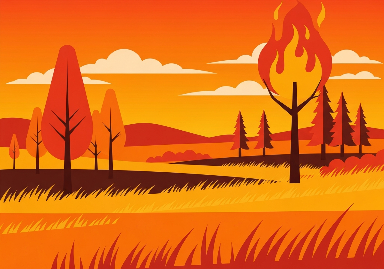
Three large wildfires in central and western Nebraska have scorched roughly 600,000 acres and remained 0% contained as of Sunday, officials said. The largest, the Morrill Fire, has burned more than 460,000 acres across Morrill, Arthur and Keith counties and is the biggest blaze in Nebraska history. The fires have killed one person in Arthur County and prompted a state of emergency declaration from Gov. Jim Pillen. State and federal resources, including Nebraska National Guard helicopters and mutual aid from Omaha and Lincoln, have been mobilized to fight the blazes.
Key Takeaways
- Approximately 600,000 acres have burned across three separate fires in central and western Nebraska as of Sunday.
- The Morrill Fire is the largest in state history, consuming over 460,000 acres in Morrill, Arthur and Keith counties.
- The Cottonwood Fire in Dawson County has burned about 100,000 acres near Gothenburg; the Road 203 Fire has charred more than 40,000 acres in Blaine and Thomas counties.
- All three fires were reported as 0% contained on Sunday, presenting an active threat to communities and infrastructure.
- One fatality was reported in Arthur County on Thursday; officials have not announced additional confirmed civilian fatalities.
- Gov. Jim Pillen declared a state of emergency and deployed Nebraska National Guard personnel, including two UH-60 Black Hawk helicopters.
- Local mutual-aid assistance is coming from Omaha and Lincoln, and the governor said he would seek support from neighboring states as needed.
- Weather forecasts of dry, gusty winds over the burn areas are expected to complicate suppression efforts in the near term.
Background
Nebraska historically sees relatively limited wildfire acreage compared with many Western states, but the scale of these blazes is unprecedented for the state. Persistent dryness this season, combined with high winds and abundant fine fuels, created conditions for rapid fire spread across agricultural and rangeland areas. The three fires emerged separately but within a broad region of elevated fire danger in central and western Nebraska, where rural communities and key grassland ecosystems are concentrated.
State and local fire agencies, volunteer fire departments and county emergency managers have coordinated response efforts, but resources were quickly strained by the size and concurrent timing of the incidents. The Nebraska Forest Service and state law-enforcement aviation units have provided situational awareness through aerial imagery. Historically, large prairie fires in the region have been contained more quickly when moist weather arrived; in this case, forecasts initially showed limited relief for the hardest-hit zones.
Main Event
Officials identified the largest incident as the Morrill Fire, which by state estimates had grown to more than 460,000 acres across Morrill, Arthur and Keith counties. The Cottonwood Fire has burned roughly 100,000 acres in Dawson County near Gothenburg, while the Road 203 Fire has exceeded 40,000 acres in Blaine and Thomas counties near Halsey. All three remained 0% contained on Sunday, meaning control lines had not been confirmed as holding.
Gov. Jim Pillen declared a state of emergency to unlock additional state funds and personnel and directed Nebraska National Guard support to assist local firefighting efforts. Two Nebraska Army National Guard UH-60 Black Hawk helicopters were reported in use for aerial firefighting tasks and logistics. Pillen also personally surveyed the burn areas by helicopter and urged Nebraskans to support affected communities.
Local governments requested and received mutual aid: fire departments from Lincoln and Omaha sent personnel and equipment to the front lines while maintaining staffing at home stations. Mayors and local officials framed the response as a coordinated regional effort to protect lives and infrastructure, and emergency shelters and evacuation notices were activated for impacted rural residents.
Analysis & Implications
At roughly 600,000 acres burned, these fires represent a marked escalation in Nebraska’s wildfire exposure and highlight evolving risk patterns on the Great Plains. Land-use changes, prolonged dry spells, and stronger spring wind events can all amplify the size and intensity of prairie fires. For rural communities that rely on agriculture and ranching, the economic impact includes lost pasture, damaged fencing and equipment, and potential longer-term soil and habitat degradation.
From an emergency-management perspective, the simultaneous scale of multiple fires strains mutual-aid systems that assume staggered incidents. Resource allocation—aircraft, engines, crews and rehabilitation teams—must be triaged across a broad geography, raising difficult operational trade-offs. The deployment of National Guard assets reflects both the severity of the situation and limits in available local firefighting aviation and heavy equipment.
Politically, state leadership faces pressure to ensure recovery funding and to coordinate interstate assistance; requests for additional personnel from nearby states, including Iowa, were being considered. If forecasts of continued strong winds materialize, containment timelines could lengthen, increasing costs for suppression and recovery and elevating health risks from smoke for downwind population centers.
Comparison & Data
| Fire | Primary Counties | Approx. Acres Burned |
|---|---|---|
| Morrill Fire | Morrill, Arthur, Keith | >460,000 |
| Cottonwood Fire | Dawson (near Gothenburg) | ~100,000 |
| Road 203 Fire | Blaine, Thomas (near Halsey) | >40,000 |
| Total (approx.) | Central/Western Nebraska | ~600,000 |
The table above compares the scale of the three principal fires. In historical context, Nebraska has not recorded a single wildfire footprint approaching the Morrill Fire’s size, making this an outlier event for the state. Suppression costs, land damage, and recovery needs will likely be evaluated against multi-decade baselines to determine whether this season represents a new normal.
Reactions & Quotes
“We have declared a state of emergency and are moving all available assets to support local crews and protect Nebraskans,”
Gov. Jim Pillen (state official)
At a Saturday briefing, the governor described aerial assessments and emphasized the need for additional personnel and intercity support. He framed the declaration as a tool to accelerate funding and logistics to the hardest-hit counties.
“Omaha stands ready to support our neighbors by deploying critical resources while keeping our city protected,”
John Ewing Jr., Mayor of Omaha (local official)
Omaha’s mayor characterized the mutual-aid deployment as both assistance to rural firefighters and a measure to maintain urban emergency coverage. Lincoln made a similar commitment to send personnel and equipment.
“The winds are supposed to be extraordinary,”
Gov. Jim Pillen (weather briefing)
Officials warned that forecasted gusty, dry conditions could worsen fire behavior, underscoring why rapid resource mobilization was prioritized over longer-term recovery planning at that moment.
Unconfirmed
- Official determinations on the fires’ ignition sources had not been released; investigations were ongoing and cause remained under review.
- Full counts of displaced residents, livestock losses and economic damages had not been compiled and were not yet publicly available.
- Projections for when significant containment will be achieved were not confirmed and depend on shifting weather and resource availability.
Bottom Line
This week’s fires mark the largest wildfire footprint in Nebraska’s recorded history, driven by a combination of dry fuels and strong winds. The state emergency declaration and National Guard deployment reflect the severity and scale of the response required to protect lives, property and agricultural assets across multiple counties.
Near-term containment will hinge on weather changes and the ability to sustain aerial and ground resources across a wide area. Policymakers and emergency managers will also face decisions about long-term recovery funding and investments in preparedness to address the growing risk of large prairie fires.