
Lead
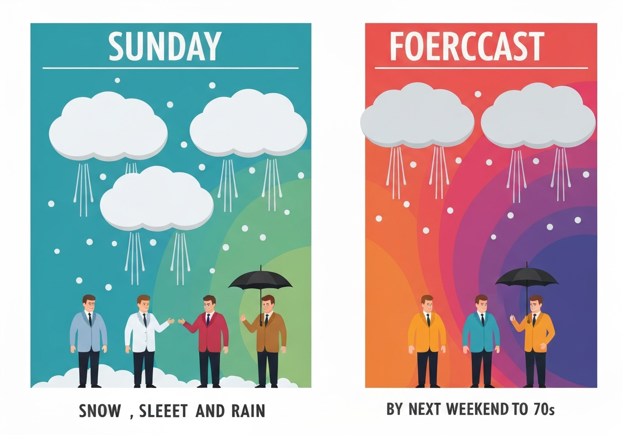
Updated Mar. 01, 2026 at 8:18 a.m.; originally published Feb. 28, 2026. New Jersey faces chances for light snow Sunday and again Tuesday, with northern counties most likely to see brief accumulations. A surge of milder air arrives midweek, and by Saturday some locations may reach or exceed the 70s. Officials warn of a potentially slick Tuesday morning commute where freezing precipitation is possible.
Key Takeaways
- An arctic front will bring snow showers to northern New Jersey on Sunday, with up to 1 inch possible in northwestern counties.
- Sleet and rain are more likely across central and southern parts of the state on Sunday, with highs in the 30s and 40s.
- Freezing fog may develop tonight southeast of I-95 ahead of the front, creating low-visibility hazards.
- Widespread light precipitation is expected late Monday into early Tuesday; snow or a rain–snow mix is forecast along the I-95 corridor Tuesday morning before changing to rain.
- Any snow accumulations are expected to remain under 1 inch; rainfall totals of 0.5 to 0.75 inch are likely along and north of I-78, with lower amounts to the south.
- Temperatures will climb sharply Wednesday through the weekend; some areas could be 15 to 20°F above normal by mid- to late-week.
- Highs: Wednesday upper 40s to mid-50s; Thursday–Friday 50s to 60s; Saturday may approach or exceed 70°F in parts of the state.
Background
Late February and early March often bring sharp temperature swings for New Jersey as lingering cold air masses interact with incoming milder systems. This week an Arctic-origin frontal passage will deliver a short burst of colder conditions followed by a strong warm-up driven by southerly flow later in the week. The National Weather Service (NWS) has been tracking the front and the ensuing precipitation shield, which will determine whether communities see brief snow, sleet or plain rain.
Commuters, school districts and transportation agencies routinely plan around such late-winter transitions because small variations in timing and temperature can change impacts dramatically. In this event, forecasters emphasize that accumulation amounts are expected to be minimal, but freezing precipitation or localized icing—especially during the Tuesday morning rush—remains the greatest near-term hazard. The forecast reflects typical uncertainty in mixed-precipitation events where surface temperatures hover near freezing.
Main Event
An arctic front moving through on Sunday will focus snow showers across northern New Jersey, with the greatest probability of measurable snow in northwestern counties where up to 1 inch is possible. Elsewhere across central and southern New Jersey, sleet and rain showers are more likely as profiles aloft remain marginal for snow. Highs on Sunday are forecast in the 30s and 40s statewide.
Tonight, the NWS highlighted the risk of freezing fog southeast of I-95 ahead of the front, which could reduce visibility and briefly coat untreated surfaces. Monday should be calmer as high pressure builds in, but temperatures are expected to hover near freezing for much of the state with overnight lows dipping into the teens and 20s.
Late Monday into early Tuesday, a widespread area of light precipitation will spread across New Jersey. Tuesday morning is forecast to bring snow or a rain–snow mix to the I-95 corridor and points northwest, transitioning to all rain as surface temperatures rise into the upper 30s to mid-40s. Forecasters currently expect any snow accumulations to stay under 1 inch.
By Tuesday afternoon precipitation is expected to be all rain across the entire state, with estimated rainfall totals of 0.5 to 0.75 inch along and north of I-78 and slightly lower amounts to the south. Rain should taper off by Wednesday morning, after which a substantial warming trend begins.
The warming will continue through the rest of the week: highs in the upper 40s to mid-50s Wednesday, then 50s to 60s on Thursday and Friday. By Saturday, some spots in New Jersey may approach or exceed 70°F as stronger southerly flow moves across the region.
Analysis & Implications
For travel and road maintenance, the expected low snowfall totals (under 1 inch) mean widespread closures are unlikely, but localized slick spots and brief freezing rain could create hazardous stretches—most notably during the Tuesday morning commute. Municipal plow and salt operations will be monitoring temperatures and pavement conditions; brief, targeted treatments may be needed rather than broad mobilization.
The midweek warm-up will substantially reduce the likelihood of any lingering snowpack, but rapid temperature rises can elevate runoff and ponding in low-lying or poorly drained areas. Given forecast rainfall of up to three-quarters of an inch in the north, localized drainage issues are possible, though no widespread flooding is expected based on current guidance.
Energy and heating demand should ease considerably as temperatures climb, reducing strain on residential heating. Conversely, transportation impacts may shift from winter hazards to wet-road issues and increased commuter traffic as more drivers opt for spring-like conditions. Public health implications are limited, though vulnerable populations can be affected by rapid temperature swings.
From a meteorological perspective, the sequence—brief Arctic shot followed by a strong warm surge—is characteristic of late-winter transitions. While individual events vary, this pattern has appeared in recent seasons with varying intensity; forecasters will watch the strength and timing of the southerly flow to refine weekend temperature probabilities.
Comparison & Data
| Day | Forecast High | Expected Anomaly |
|---|---|---|
| Wednesday | Upper 40s to mid-50s | ~+10–15°F |
| Thursday–Friday | 50s to 60s | ~+15–20°F |
| Saturday | Near or above 70°F (some spots) | ~+15–20°F |
The table compares the forecast highs for midweek through Saturday with the anomaly range noted by forecasters (some locations projected to be 15–20°F above normal). These anomalies explain the shift from wintry precipitation early in the week to springlike warmth by the weekend.
Reactions & Quotes
National Weather Service forecasts and briefings have framed the event as a short-lived mixed-precipitation episode followed by a significant warm-up. Officials emphasize timing of the transition as the key factor for impact.
“Freezing fog could develop tonight southeast of I-95 ahead of the cold front,”
National Weather Service (forecast statement)
The NWS noted the freezing-fog risk in its outlook; that statement underscores visibility and icing concerns for southeastern New Jersey prior to the front’s passage.
“Some locations could see high temperatures as much as 15 to 20 degrees above normal,”
National Weather Service (forecast discussion)
This assessment highlights the magnitude of the warming trend expected midweek into the weekend and explains why forecasters call for potential 70°F readings in parts of the state.
Unconfirmed
- Exact neighborhoods that will reach or exceed 70°F on Saturday are not certain; the forecast indicates some locations may do so, but finer-scale guidance is needed.
- The precise timing and extent of any freezing-rain or sleet during the Tuesday morning commute remain sensitive to small temperature variations and are subject to change.
- Localized rainfall amounts could differ from the 0.5–0.75 inch guidance, especially where convective bursts develop; these variations are not yet resolved.
Bottom Line
New Jersey should expect a brief late-winter period of snow, sleet or freezing-fog concerns around Sunday and into Tuesday, though accumulations are expected to be light. The primary operational concern is a potentially slick Tuesday morning commute where freezing precipitation could form in places.
After the midweek transition, a pronounced warm-up is forecast, with highs climbing into the 50s and 60s and some locations possibly touching the 70s by Saturday. Residents and local agencies should monitor updates from the National Weather Service for timing refinements, especially if travel or outdoor plans are sensitive to marginal temperature changes.