
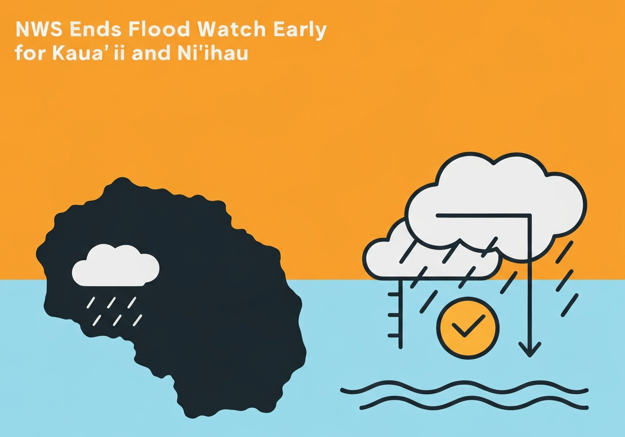
Lead: The National Weather Service in Honolulu canceled a flood watch for Kaua‘i and Ni‘ihau at 3:27 a.m. on Feb. 22, 2026, about 2½ hours earlier than the previously scheduled 6 a.m. expiration. The move follows a multi-day period of unstable weather driven by a vigorous upper-level trough that produced intense, localized downpours and flash flooding on Kaua‘i. Impacts included rapid rises on the Hanalei River, temporary closure of Kūhiō Highway near the Hanalei River Bridge, and short-term power outages in Hāʻena. Forecasters say the trough is lifting northward, but officials continue to warn of lingering runoff and possible isolated flooding in low-lying areas.
Key takeaways
- The flood watch for Kaua‘i and Ni‘ihau was canceled at 3:27 a.m. on Feb. 22, 2026, roughly 2.5 hours ahead of the planned 6:00 a.m. end time.
- Forecast radar and observations showed heavy rainfall at rates up to 2–4 inches per hour during the event, causing flash flooding and rapid river rises.
- Kūhiō Highway near the Hanalei River Bridge closed during the heaviest flooding; officials later reported periods of closure and reopening through Feb. 21.
- Kaua‘i Island Utility Cooperative reported a power outage in Hāʻena that affected members for nearly four hours, with restoration around 12:15 p.m. on Feb. 21.
- The National Weather Service extended a flood watch on Feb. 21 through 6 a.m. on Feb. 22 before lifting it early when the threat diminished.
- Flash flood warnings issued early Feb. 21 were canceled by midmorning as heavy rainfall tapered and waters receded in many areas.
Background
From Feb. 20–22, 2026, a vigorous upper-level trough swung slowly through the northwestern Hawaiian Islands, interacting with moisture arriving from both the east and west. That synoptic setup replaced a period of strong trade winds and produced repeated bands of intense showers and isolated thunderstorms concentrated over windward sections of Kaua‘i. Historically, Kaua‘i’s steep terrain and narrow watersheds enable fast runoff; similar conditions led to closures and flooding during prior extreme rain events, including notable roadway impacts recorded on July 20, 2025. Key stakeholders during the Feb. 20–22 episode included the National Weather Service office in Honolulu, Kaua‘i Emergency Management, Kaua‘i Island Utility Cooperative (KIUC), and county public works crews tasked with road and debris management.
Public messaging from agencies focused on two layered alerts typical in U.S. weather practice: flood watches (conditions favorable for flooding) and flash flood warnings (flooding imminent or occurring). The watch initially issued on Feb. 20 took effect at 3:30 p.m. and covered the period through the morning of Feb. 21; continued unsettled conditions prompted extensions and intermittent warnings into Feb. 22. Utilities and county services such as the Kapa‘a transfer station adjusted operations amid the weather, and emergency managers kept lines for nonemergency information open to coordinate road status and resource deployment.
Main event
The sequence began with a flood watch posted Feb. 20 for the Garden Island and Ni‘ihau, effective 3:30 p.m. through 6 a.m. Feb. 21, because of the trough and abundant moisture. Heavy showers began moving over windward Kaua‘i shortly before 3 a.m. on Feb. 21, and by about 2:50–5:30 a.m. radar indicated rain rates commonly between 2 and 4 inches per hour in several cells. Rapid rises in the Hanalei River forced closure of Kūhiō Highway near the Hanalei River Bridge as water overtopped the roadway in the pre-dawn period.
Officials issued flash flood warnings for the island early on Feb. 21; the warning remained in effect into the late morning before being canceled once radar and field reports showed rainfall had diminished and flood waters were receding. Kaua‘i Emergency Management cautioned about ponding, low visibility and hazardous driving conditions, and asked the public to avoid streams, drainage channels and flooded roads. County public works reported localized service impacts, including suspension of green-waste acceptance at the Kapa‘a transfer station for safety.
Utility crews at KIUC encountered an outage affecting members in Hāʻena tied to flood-related access limitations; the cooperative estimated about four hours for restoration and reported power returned to those members by roughly 12:15 p.m. on Feb. 21. Through Feb. 21 evening, the NWS kept a flood watch in effect to 6 a.m. Feb. 22 as the trough lingered; when the trough axis moved northward and the threat abated, the watch was canceled at 3:27 a.m. on Feb. 22, ending the formal watch earlier than scheduled.
Analysis & implications
Operationally, the episode illustrates how quickly fast-moving convective bands can overwhelm small watersheds on Kaua‘i. Rainfall rates of 2–4 inches per hour exceed infiltration capacities on steep slopes and urban surfaces, producing rapid runoff that can close roads and threaten low-lying structures. Even when an organized trough departs, residual runoff and saturated soils can keep hazards present for hours, complicating restoration and recovery activities for utilities and transportation agencies.
For emergency management, the event reinforced the value of layered messaging: issuing watches to prompt readiness, upgrading to warnings when flooding is observed, and communicating road status to protect public safety. The temporary closure of Kūhiō Highway around Hanalei highlights vulnerability in single-route communities where a washed roadway can isolate residents or delay utility crews. Restoring power in Hāʻena depended on safe access across the same corridors used by first responders, underscoring interdependence of infrastructure systems.
From a planning perspective, repeated short-duration high-intensity rainfall events raise questions about resilience of road design, drainage capacity and utility access. While a single event does not establish a long-term trend, frequency and intensity of convective rainfall remain an operational concern for island jurisdictions that rely on narrow road networks and limited redundancy. Continued monitoring, targeted drainage upgrades, and community preparedness remain practical priorities to reduce risk from future episodes.
Comparison & data
| Date/Time | Observed rain rate (in/hr) | Primary impact |
|---|---|---|
| Feb. 21, 2026 (pre‑dawn) | 2–4 in/hr | Flash flooding; Kūhiō Highway closed near Hanalei Bridge |
| Feb. 21, 2026 (midday) | rain easing | Flash flood warning canceled; localized road closures persisted |
| Feb. 22, 2026 03:27 a.m. | watch canceled | Flood watch lifted early; residual runoff risk remains |
The table condenses public reports and NWS radar-derived rain-rate observations. While peak hourly rates of 2–4 inches drove immediate flooding, measured totals and the areal extent varied across the island because cells were localized. Comparable past events — for example roadway inundation on July 20, 2025 — show a pattern in which intense convective bursts, not prolonged steady rain, are the primary driver of roadway overtopping on Kaua‘i.
Reactions & quotes
Local emergency management framed the response and safety guidance around road closures and driving hazards.
“Ponding, low visibility and other hazardous driving conditions are expected. If you must drive, please do so with extreme caution.”
Kaua‘i Emergency Management (public advisory)
The National Weather Service emphasized the transient but intense nature of the rainfall and the reason for the lifted watch.
“The upper‑level trough produced periods of heavy showers and isolated thunderstorms; the trough axis should lift north of the area by Sunday morning, diminishing the flooding threat.”
National Weather Service Honolulu (forecast office)
Kaua‘i Island Utility Cooperative communicated operational constraints that slowed restoration work during flooding.
“Crews must wait until Hanalei River Bridge reopens. Plan on at least 4 hours for restoration.”
Kaua‘i Island Utility Cooperative (utility advisory)
Unconfirmed
- Full scope of property damage across Kaua‘i remains under assessment; comprehensive damage reports had not been released as of the last official updates.
- Exact total rainfall accumulation at all impacted locations is not yet compiled; available reports describe peak hourly rates but not island‑wide totals.
- Any long‑term road repairs or timelines for full reopening of impacted segments of Kūhiō Highway beyond immediate safety inspections were not provided in public statements.
Bottom line
The early cancellation of the flood watch at 3:27 a.m. on Feb. 22 signals that the immediate organized threat from the upper‑level trough has diminished, but localized hazards remain as saturated ground and elevated streams can produce hazardous runoff. Residents and visitors should continue to heed road‑closure notices and avoid driving through standing or fast‑moving water; infrastructure crews may still be working to assess and clear affected corridors. Looking ahead, the event highlights persistent operational challenges for Kaua‘i — particularly the vulnerability of single access roads and the dependence of utilities on clear, passable routes — and reinforces the need for continued preparedness and targeted resilience measures.