
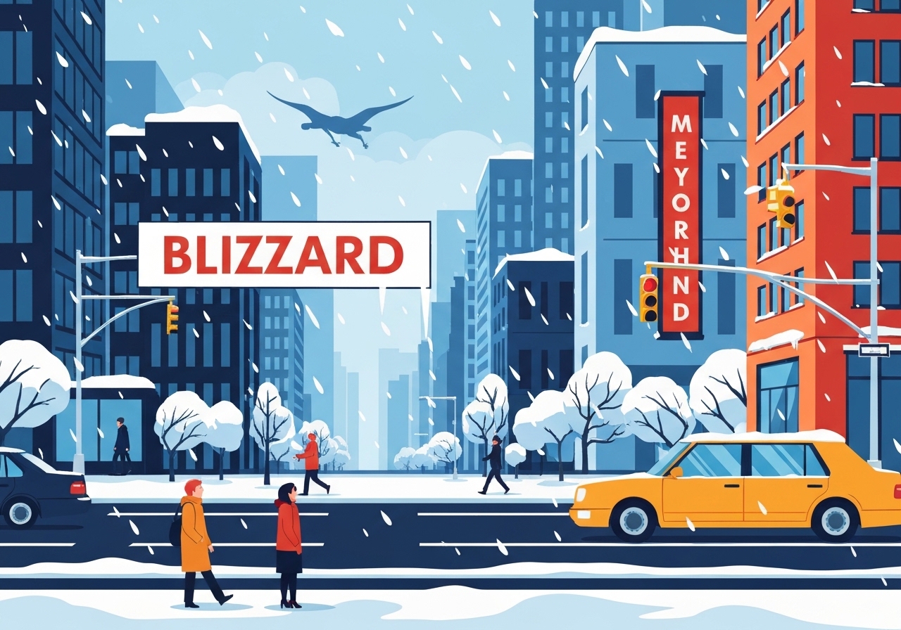
Near-blizzard snowfall, powerful gusts and an extended bout of unusually cold weather are forecast to sweep the New York City area beginning late Saturday night and into Sunday. Mayor Zohran Mamdani warned that snow could begin around midnight and intensify into early Sunday, with National Weather Service forecasts projecting snowfall rates of 1–2 inches per hour and whiteout conditions at times. City officials announced a hazardous travel advisory through Monday and said frigid temperatures will linger into the week, increasing the risk of lingering snow, ice and service disruptions. Residents were urged to remain off roads so emergency and sanitation crews can operate and to seek shelter if needed.
Key Takeaways
- Snow is expected to start around midnight Saturday and intensify early Sunday, with peak snowfall rates of 1–2 inches per hour, according to the National Weather Service forecasts.
- Mayor Zohran Mamdani declared a hazardous travel advisory through Monday and said the region will face sustained cold not seen in about eight years.
- Forecasters expect Sunday to be one of the milder days in the stretch; highs near 30°F on Monday will fall into the teens and low 20s Tuesday–Thursday.
- City crews—including sanitation, NYCHA maintenance staff and extra ambulances—are mobilized now and will work through the event; some ambulances may be escorted if they become stuck.
- Outreach teams are canvassing the five boroughs to offer shelter; hospitals, shelters and drop-in centers will not turn away people who need cover.
- Ice accumulation raises a heightened risk of power outages for the outer boroughs and suburbs where lines are overhead; most Manhattan lines are buried.
Background
The storm represents a classic midwinter setup: a strong low tracking near the region that brings heavy snow, high winds and swift cold advection behind the system. The National Weather Service forecast calls for a transition to sleet by Sunday evening in some areas, then subfreezing highs for much of next week, producing a deep-freeze aftermath that will slow snow removal and recovery. City agencies have previously faced similar combinations of heavy snow followed by prolonged cold—events that stress transit, power distribution and homeless services—and those past experiences are shaping the current operational posture. Because Manhattan has a high proportion of buried distribution lines, the borough is generally less vulnerable to outage-causing ice; by contrast, outer boroughs and neighboring suburbs with overhead lines remain at elevated risk.
Mayor Mamdani emphasized that sanitation workers and first responders have been preparing in advance and will continue operations throughout the storm. He described proactive outreach to vulnerable populations and additional staffing at NYCHA properties to address weather-related damage. The city’s Emergency Operations Center is coordinating ambulance deployments and planning for escorts or relief units should vehicles become immobilized. School operations were left pending, with a decision scheduled for announcement by noon Sunday.
Main Event
Snow was forecast to begin around midnight Saturday and intensify through early Sunday morning, producing periods of near-blizzard conditions with heavy snow and strong winds. The National Weather Service warned of snowfall rates up to 1–2 inches per hour for several hours, sufficient to reduce visibility to near zero during peak intensity. As the precipitation changes to sleet in places Sunday evening, travel conditions are expected to remain dangerous even as the heaviest bands ease. City officials announced a hazardous travel advisory lasting through Monday to keep roads clear for emergency operations and sanitation work.
Mamdani repeatedly urged New Yorkers to stay off the roads and praised crews already mobilized to respond to the storm. He said extra ambulances will be staged and that the Emergency Operations Center will dispatch replacement units if any ambulances become stuck, noting that escorts would be used if necessary. Outreach personnel have been canvassing streets and subway stations across the five boroughs offering shelter and transport to warming centers; officials said no one seeking shelter will be turned away at city hospitals or Department of Homeless Services facilities.
City sanitation workers are operating pre-treatment and plowing schedules in anticipation of heavy accumulations, and NYCHA announced additional maintenance staffing to address building damage from ice and cold. Officials cautioned that the combination of heavy snowfall and a severe cold snap will complicate clearance operations, potentially prolonging hazardous conditions and delaying restoration of normal services. Commuters were warned that the morning commute on Monday could be treacherous and that public-transport delays or localized outages remain possible.
Analysis & Implications
The forecasted sequence—intense snowfall followed by a rapid drop into a multi-day deep freeze—creates two linked hazards: immediate transport paralysis and a persistent recovery burden. Heavy, wet snow and subsequent ice accumulation increase the likelihood of downed tree limbs and snapped utility lines, especially in areas with overhead infrastructure; that raises the probability of scattered power outages that could last beyond the initial storm. Prolonged subfreezing temperatures will hinder melting and complicate de-icing, keeping sidewalks and secondary streets hazardous and raising the burden on emergency medical services.
Economic and operational impacts could be sizable even if the storm does not reach historic accumulation levels. Extended closures or limited school operations, interruptions to commuter flows and delays to freight and deliveries will amplify ripple effects across services and businesses. The city’s strategy—prioritizing roadways and transit-critical arteries for clearance and staging ambulances and repair crews—aims to limit these cascading disruptions, but response capacity can be strained if outages or multi-site incidents multiply.
Public-health risks are elevated during a deep freeze: hypothermia and carbon-monoxide poisoning from improper indoor heating are perennial concerns. Outreach to unsheltered populations and clear communications about warming centers and shelter options are essential to reduce preventable harm. Officials’ repeated assurances that shelters and hospitals will accept people needing warmth are a mitigation step, but uptake depends on timely awareness and safe transport during the storm window.
Comparison & Data
| Metric | Forecast/This Event | Recent Comparable Period (~8 years ago) |
|---|---|---|
| Peak snowfall rate | 1–2 in/hr | Variable; often <1–1.5 in/hr |
| Sunday–Thursday highs | ~30°F (Mon), teens–low 20s Tue–Thu | Past cold snap reached similar sustained subfreezing highs |
| Travel advisory | Through Monday | Similar advisories issued during prior major winter storms |
The table compares the forecast parameters for this storm with a prior multi-day cold stretch referenced by city officials. While peak snowfall rates are high enough to produce rapid accumulations, the prolonged cold following the event is the defining factor that will determine recovery pace. Historical experience shows that when cold persists after heavy snow, utility restoration and street clearing require more time and resources.
Reactions & Quotes
City leadership framed the guidance as both a public-safety instruction and a recognition of the labor ahead for municipal crews.
“New Yorkers, stay home,”
Zohran Mamdani, Mayor of New York City (press conference)
The National Weather Service provided the operational forecast context and timing for the most intense snowfall.
“Snowfall rates could reach one to two inches per hour for several hours,”
National Weather Service (forecast brief)
Observers and officials emphasized the strain that extended cold can place on response systems and vulnerable populations.
“Pretty much highs all next week will be below freezing,”
Matthew Wunsch, Meteorologist, National Weather Service
Unconfirmed
- The precise number and locations of additional ambulances staged for the event have not been independently verified beyond the mayor’s statement.
- The full geographic extent and duration of potential power outages remain uncertain and will depend on exact ice accumulation and wind impacts as the storm progresses.
- Final school-operation decisions were to be announced by noon Sunday; the outcome and any localized variations had not been confirmed at the time of this report.
Bottom Line
This storm presents a dual threat: rapidly accumulating snow that can create immediate whiteout conditions and a subsequent cold spell that will lengthen recovery and raise secondary hazards. Officials have mobilized sanitation crews, emergency responders, NYCHA staff and outreach teams, and they are urging New Yorkers to stay inside and keep roads clear for those crews. The public should prepare for prolonged subfreezing temperatures, possible power interruptions in vulnerable areas and disruptions to commutes and services.
Key things to watch in the next 24–72 hours are the exact track and intensity of the storm bands, transitions to sleet or freezing rain that could amplify ice loads, and the city’s noon announcement on school operations. Practical steps for residents include avoiding nonessential travel, checking on neighbors, following official shelter guidance and conserving power and heat where possible.
Sources
- Gothamist — local news report summarizing the mayor’s press conference and NWS forecasts (journalism)
- National Weather Service, New York forecast office — official meteorological forecasts and warnings (official forecast)
- Mayor’s Office, City of New York — official statements and emergency operations updates (official)