
Lead
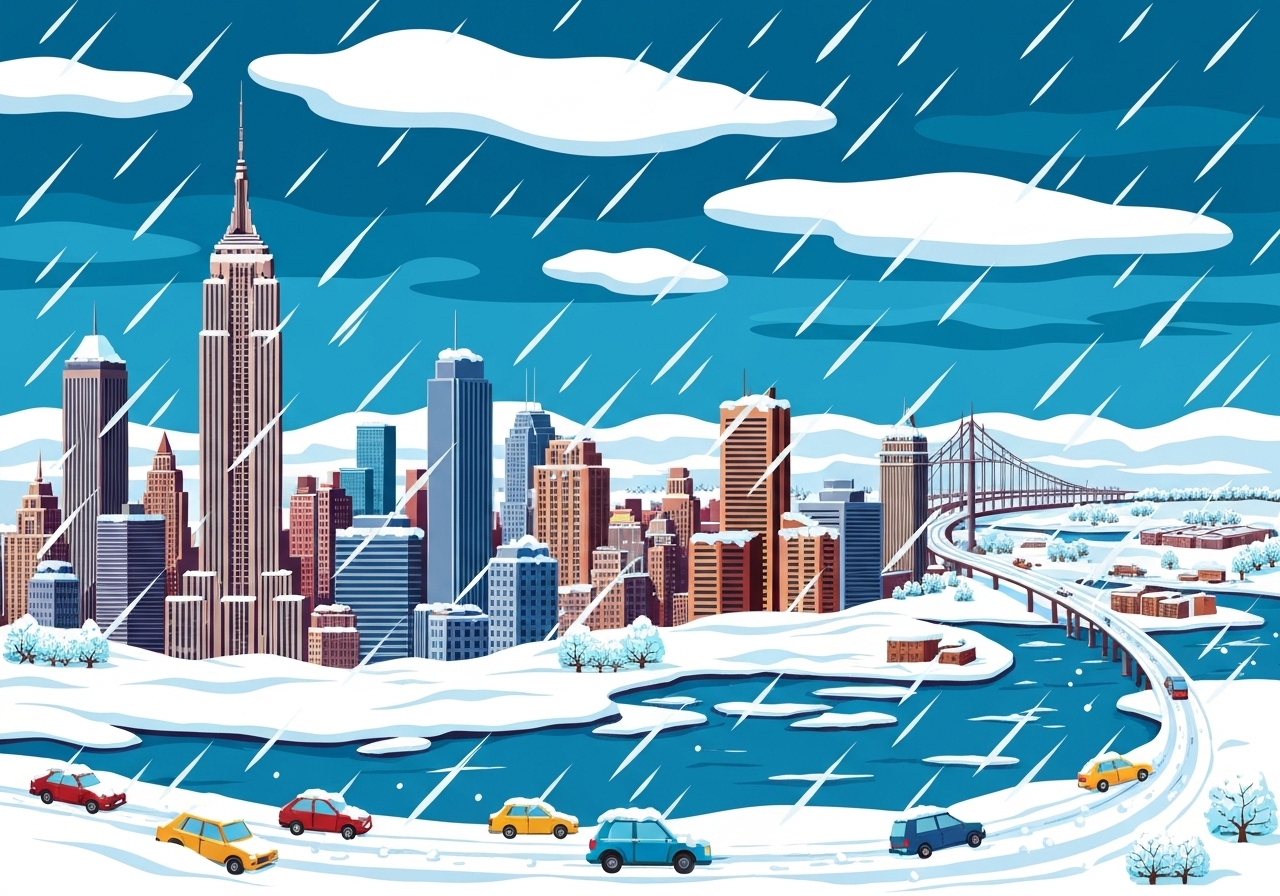
On Sunday, Jan. 25, 2026, a major winter storm swept across New York City and the wider Tri-State Area, bringing heavy snow, sleet and dangerously low temperatures. Officials from New York State, New Jersey and local municipalities closed airports, suspended some transit and urged residents to stay off the roads. Snow accumulations exceeded a foot in parts of Long Island and New Jersey while New York City reported near-foot totals in several neighborhoods. Emergency measures including warming centers and Code Blue declarations were activated as crews worked to clear streets and protect vulnerable residents.
Key Takeaways
- Snow totals rose above 12 inches in parts of the region with Levittown, NY reporting 12.1 inches and Wayne, NJ 12.0 inches as of midafternoon.
- Hartsdale, NY in the Hudson Valley reported 12.5 inches as of 4:03 p.m., making it one of the highest totals in the area.
- Air travel was heavily disrupted: LaGuardia was closed until at least 8 p.m. with more than 90 percent of flights canceled, and hundreds of cancellations were reported at JFK and Newark Liberty.
- NJ Transit suspended all service for the day, while the MTA operated on a weekend schedule with adjustments for safety.
- Power outages approached nearly 200,000 nationwide during the storm, with pockets of outages reported locally in New York and New Jersey.
- New York City opened 10 warming centers and kept Code Blue protections in place after city officials reported at least five people found outside and dead before the main snowfall began; causes are undetermined.
- Local sanitation and public works departments mobilized thousands of pieces of equipment, with DSNY reporting more than 2,200 plows staged and the mayor citing a 2,300 vehicle fleet readiness.
Background
The system on Jan. 25 was part of a sprawling winter event affecting more than 30 states with a mix of heavy snow, sleet and freezing rain. Meteorologists warned that temperatures would be among the coldest sustained stretches the region has seen in years, increasing the risk of hypothermia, frostbite and infrastructure strain. Coastal and low-lying areas faced sleet and freezing rain that can create icing on roadways and weigh down trees and power lines, while inland and higher terrain accumulated deeper snow.
State and local governments prepared by pre-treating roads, prepositioning plows and increasing staffing at emergency operations centers. Transit agencies enacted contingency plans: NJ Transit suspended service for safety reasons, while the MTA emphasized snow-fighting trains and de-icing measures for outdoor track segments. Airports and airlines reacted to rapidly degrading visibility and runway conditions, canceling large numbers of flights.
Main Event
Snow began across the region early Sunday morning and intensified through the late morning and afternoon. Long Island roads became treacherous shortly after the first accumulations, with videos and reports showing vehicles fishtailing and getting stuck even as county and town plows worked. Officials in Suffolk County described continuous heavy snowfall that repeatedly covered freshly plowed streets, making cleaning operations protracted.
In New Jersey, Gov. Mikie Sherrill described around-the-clock operations at a DOT maintenance facility in Clark and detailed salting and plowing efforts to combat a changeover from heavy snow to significant icing. She warned residents that major icing would keep roads hazardous and urged people to avoid travel where possible. NJ Transit halted service for the day, citing safety concerns for passengers and employees.
In New York City, Mayor Zohran Mamdani confirmed that subways and buses would run on modified schedules and announced remote classes for NYC public schools on Monday. The city activated Code Blue protections and opened 10 warming centers while DSNY and other crews began full spreading and plowing operations after pre-treatment overnight. LaGuardia Airport was shut down by the FAA until at least 8 p.m., and more than 90 percent of LGA flights were canceled as crews cleared snow from tarmacs.
Analysis & Implications
Transportation networks bore the immediate brunt of the storm. Airport closures and mass cancellations ripple through airline schedules for days, affecting connections and cargo. A full-day suspension of NJ Transit forces commuters to seek alternative travel or stay home, increasing demand on roadways that are already hazardous; the MTA’s reduced schedule and removal of articulated buses for safety also constrain capacity.
Energy and utility systems face dual stressors of heavy, wet snow in some areas and extreme cold across the state. Even modest ice accumulation can snap branches and down lines, producing scattered outages that are harder to repair when temperatures remain dangerously low. Nearly 200,000 customers reported outages nationwide during the event, and localized outages in the metropolitan area will slow restoration work and increase public safety concerns.
Public health and social services are under pressure because extreme cold magnifies risks for homeless people, older adults and those with limited heating. Officials emphasized Code Blue shelters, hospitals and warming centers to reduce exposure-related harms. Economically, the storm disrupts commerce, retail foot traffic and the cultural life of the city, with Broadway cancellations and tourism impacts concentrated in the short term but potentially costly for hourly workers and small businesses.
Comparison & Data
| Location | Reported Snow (inches) |
|---|---|
| Hartsdale, NY (Hudson Valley) | 12.5 |
| Levittown, NY (Long Island) | 12.1 |
| Wayne, NJ | 12.0 |
| Williamsburg, Brooklyn (NYC) | 9.7 |
| Norwalk, CT | 9.5 |
| Washington Heights, Manhattan (NYC) | 8.3 |
| Sheepshead Bay, Brooklyn (NYC) | 8.1 |
The table summarizes highest reported totals from midafternoon observations. Snow totals varied widely across short distances where coastal mixing and sleet reduced accumulation while inland and higher-elevation sites recorded heavier totals. Officials cautioned that totals remained provisional and could be updated as more observations arrive and sleet transitions to rain or freezing rain in some coastal locations.
Reactions & Quotes
Officials and residents offered a mix of warnings and practical guidance as crews labored to clear streets.
We are getting a lot of snow in a short period and that is following up with very cold temperatures. It’s going to take time to get to work, carpool. See if you can work from home.
Joseph Saladino, Oyster Bay Supervisor
Saladino urged Long Island drivers to remain home while plows finish passes so roads can become passable by Monday.
We pretreated or brined many of the streets here and moved into plowing operations. As we go into this icing situation, we are now moving into salting operations to melt the ice and get down to blacktop.
Gov. Mikie Sherrill, New Jersey
Sherrill outlined New Jersey DOT operations at a maintenance facility in Clark and warned that icing keeps conditions dangerous despite plowing.
I cannot emphasize this enough. Please, if you can avoid it, do not drive. Conditions are dangerous and a hazardous travel advisory is in effect for today and for tomorrow.
Mayor Zohran Mamdani, New York City
The mayor also explained the city’s sheltering steps including warming centers and remote schooling decisions for Monday.
Unconfirmed
- Final, aggregated snow totals for the entire Tri-State Area remain provisional and may be revised as late reports are logged.
- The precise causes of the at least five people found outside before the main snowfall are still under investigation and have not been publicly released.
- Exact timing for full airport reopenings and restoration of all disrupted transit services is contingent on evolving runway and track conditions and has not been finalized.
Bottom Line
The Jan. 25 winter storm produced a dangerous combination of heavy snow, sleet and extreme cold that disrupted travel, strained public works and created acute public safety risks across the Tri-State Area. Officials urged residents to stay off the roads, use warming centers if needed and avoid nonessential travel while crews focus on turning plowed streets into passable routes.
In the days ahead, recovery will hinge on temperature trends, additional precipitation and the pace of utility restoration. Travelers should expect lingering impacts to air and rail schedules into Monday and possibly beyond, and vulnerable populations will remain a priority for emergency services during this sustained cold snap.
Sources
- CBS News New York live updates (news coverage)
- Metropolitan Transportation Authority (official transit agency)
- NJ Transit (official transit agency)
- Federal Aviation Administration (official aviation regulator)
- FlightAware (flight status data)