
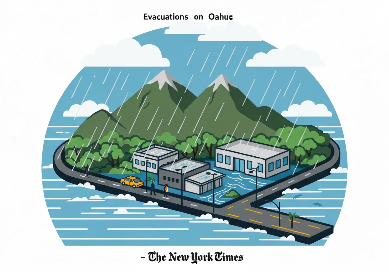
— Emergency managers on Oahu ordered residents near a northern-island dam to move to higher ground after heavy overnight rain pushed the Wahiawa Reservoir to critically high levels. Officials said the water rose to within a few feet of the dam crest early Friday and described the structure as at “imminent risk of failure.” Flooding already cut road access to parts of Waialua and Haleiwa, and the National Weather Service warned that widespread inundation of roadways and low-lying areas was ongoing. By midday, readings showed reservoir levels had fallen by more than one foot, and authorities continued localized evacuation and safety operations.
Key Takeaways
- At 8:00 a.m. local time on March 20, a USGS flood sensor recorded the Wahiawa Reservoir at 85.10 feet, exceeding the prior record of 85.00 feet set in October 2005.
- State and local officials ordered evacuations for parts of Waialua and Haleiwa after the Oahu Department of Emergency Management labeled the dam at “imminent risk of failure.”
- By about noon, reservoir levels had dropped by more than 1 foot, according to emergency updates, reducing immediate overtopping risk but not eliminating danger.
- Floodwaters severed road access in affected neighborhoods, prompting emergency advisories and travel restrictions in northern Oahu.
- The National Weather Service issued ongoing flood warnings, citing widespread roadway and low-lying area inundation attributable to heavy overnight precipitation.
- No confirmed report of dam breach or fatalities was available in initial official updates; emergency operations remained focused on life-safety and access restoration.
Background
The Wahiawa Reservoir sits in northern Oahu and is part of the island’s water-storage and flood-management system. Reservoir levels are monitored continuously by federal and state sensors; extreme inflows can raise the pool to elevations that threaten spillways or earthen dams. In October 2005, a previous extreme event set a high-water mark at 85.00 feet, a level now edged by the March 20 reading of 85.10 feet.
Hawaii’s tropical location makes localized heavy rainfall common, but rapid accumulation overnight can overwhelm both natural drainage and engineered spillways. Local government agencies, including the Oahu Department of Emergency Management and the state governor’s office, coordinate warnings, road closures and evacuations when infrastructure is at risk. Residents in flood-prone coastal and valley communities generally rely on those advisories to move to safer ground.
Main Event
In the predawn hours of March 20, heavy rain pushed the Wahiawa Reservoir to record heights, triggering alarm among monitoring authorities. At about 9:00 a.m., the Oahu Department of Emergency Management issued a statement saying the dam was at “imminent risk of failure,” and local officials began evacuating neighborhoods downstream and along access routes that risked inundation.
Governor Josh Green reported that water in the reservoir was just a few feet below the dam crest in early-morning updates, prompting immediate life-safety actions. Emergency teams focused first on moving people from Waialua and Haleiwa to higher ground and on keeping roads clear for rescue and response operations.
By mid-day, continuous monitoring showed the reservoir dropping by more than one foot, easing—but not eliminating—the immediate threat. Officials cautioned that residual flooding and damaged roads would continue to affect travel and recovery for the foreseeable short term.
Analysis & Implications
Near-failure conditions at a reservoir carry immediate life-safety implications: a breach can send a fast-moving surge of water and debris downstream, endangering homes, utilities and transportation corridors. Even without an actual breach, overtopping or uncontrolled releases can erode structural elements and produce prolonged disruption to local communities and services.
The March 20 event underlines vulnerabilities in aging water-control infrastructure when confronted with intense precipitation. Agencies will likely prioritize post-event inspections of the dam crest, spillway, seepage paths and downstream channels to determine repair needs and longer-term reinforcement. Those inspections can take days to weeks and may require temporary restrictions on reservoir management and local land use.
Economically, immediate costs include emergency sheltering, road repairs and potential agricultural losses in valley communities. Politically and administratively, the episode may prompt renewed discussion of investment in flood-control upgrades, updated hazard-mapping and faster warning systems to reduce evacuation times in future high-water events.
Comparison & Data
| Measure | Value |
|---|---|
| Wahiawa Reservoir peak (March 20, 2026, 8:00 a.m.) | 85.10 ft (USGS sensor) |
| Previous record (October 2005) | 85.00 ft |
| Reported drop by noon (March 20) | >1.0 ft |
The USGS sensor reading of 85.10 feet represents a marginal exceedance over the 2005 record. While a tenth of a foot may appear small, for dam operators and emergency managers even modest changes in elevation can change overtopping risk profiles. The subsequent drop of more than one foot by noon suggests inflow rates slowed or controlled releases were executed, but authorities stressed continued vigilance as downstream channels and low-lying areas remained saturated.
Reactions & Quotes
Emergency officials described the situation in urgent terms and prioritized evacuation as the primary protective action.
“The dam is at imminent risk of failure; residents below the reservoir should move to higher ground immediately.”
Oahu Department of Emergency Management (local official statement)
This statement framed the early emergency response and explains why evacuation orders focused on Waialua and Haleiwa neighborhoods. Local agencies coordinated to close affected roads and to direct residents to safer elevations.
“Water in the Wahiawa Reservoir was only a few feet below the crest early this morning.”
Gov. Josh Green (state official)
The governor’s comment emphasized the narrow margin that separated the reservoir from overtopping. State authorities followed with situational briefings and coordination with county responders to manage sheltering and access.
“Widespread flooding of roadways and low-lying areas is ongoing.”
National Weather Service (official advisory)
The NWS advisory explained the broader meteorological conditions: heavy overnight precipitation created rapid runoff and elevated stream and reservoir inflows, producing the road and neighborhood flooding reported across northern Oahu.
Unconfirmed
- Exact counts of residents evacuated from Waialua and Haleiwa were not confirmed in initial public updates.
- Reports of structural damage to homes or critical infrastructure downstream were not verified in early official statements.
- Any long-term structural harm to the dam beyond immediate erosion risk has not been confirmed pending engineering inspections.
Bottom Line
The March 20 episode was a narrowly averted dam crisis in northern Oahu: reservoir elevations briefly exceeded a historical record and prompted life-safety evacuations, but later reductions in stage lessened the immediate overtopping threat. Even so, the event exposed how quickly heavy rainfall can escalate reservoir and downstream flood risk in island environments.
In coming days officials will prioritize structural inspections, recovery of blocked roads and clear communication about when residents can safely return. Longer-term, local and state agencies may face pressure to accelerate dam assessments and flood-mitigation investments to reduce the chance of repeat emergencies during intense precipitation events.
Sources
- The New York Times — news report summarizing official statements and situational updates (media).
- City & County of Honolulu, Department of Emergency Management — local official emergency management information (local government).
- Office of the Governor of Hawaii — official state announcements and governor statements (state government).
- National Weather Service Honolulu — official weather advisories and flood warnings (federal weather service).
- U.S. Geological Survey — real-time water-level sensor data referenced for reservoir stage measurements (federal monitoring).