
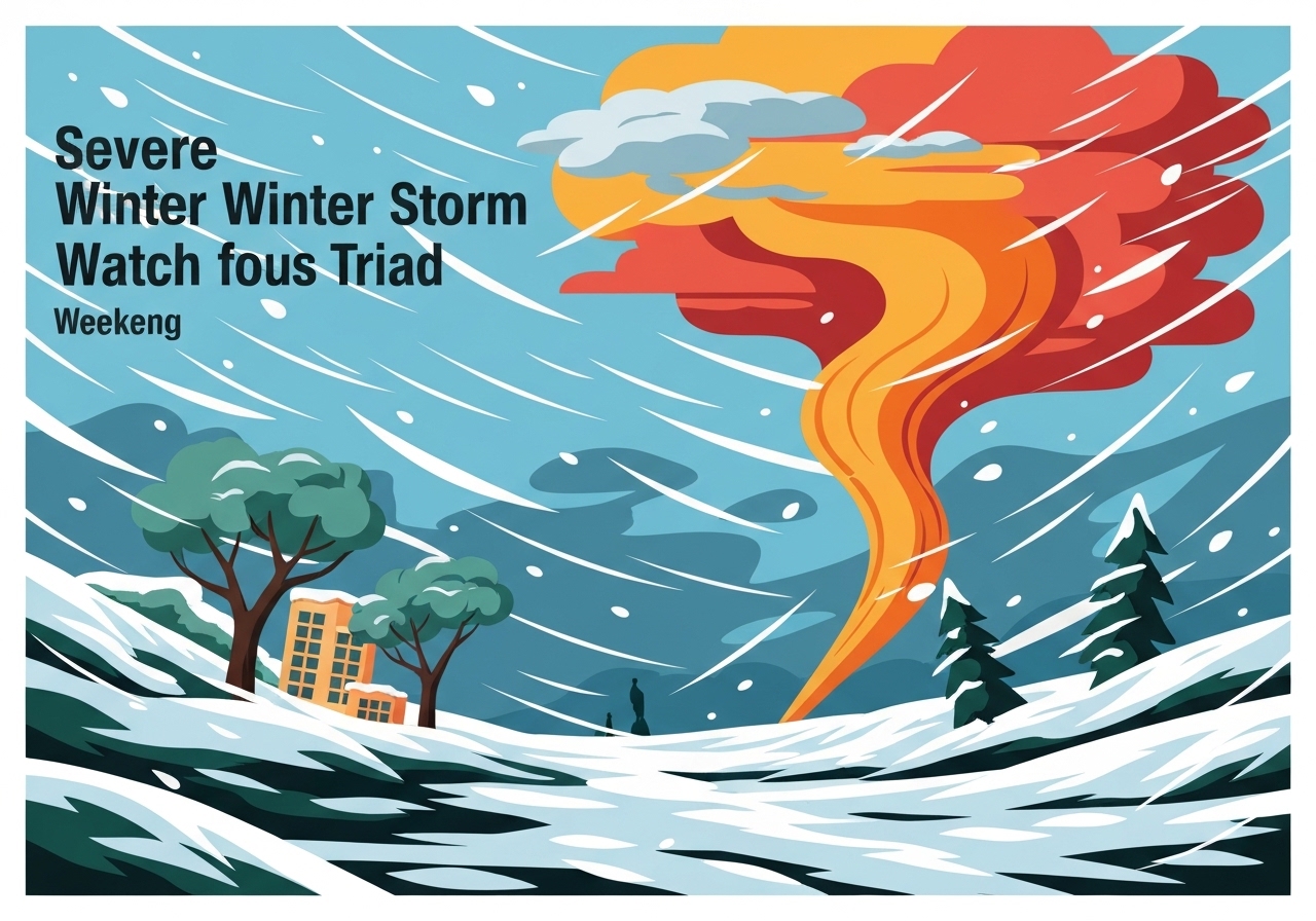
Lead: A Winter Storm Watch takes effect for the entire Piedmont Triad beginning Saturday at 1 p.m. and remains in force through 1 p.m. Monday. North Carolina Governor Josh Stein declared a State of Emergency on Wednesday and plans to speak at 11:15 a.m. Thursday. Forecasters say precipitation will likely begin as snow in higher terrain before transitioning to sleet and freezing rain, raising the prospect of a significant ice event and widespread power outages. Temperatures are expected to remain below freezing into early next week, prolonging impacts.
Key Takeaways
- The Winter Storm Watch covers the FOX8 viewing area from Saturday 1 p.m. through Monday 1 p.m., affecting the entire Piedmont Triad region.
- Governor Josh Stein declared a State of Emergency on Wednesday; he will address the storm at 11:15 a.m. Thursday (official statement forthcoming).
- Temperatures: highs near upper-50s today, near 50°F on Friday, then falling to mid-20s over the weekend with overnight lows in the teens.
- Precipitation is forecast to move in Saturday afternoon, initially as snow in mountains and foothills, then changing to sleet and freezing rain by Saturday evening.
- Forecasts increasingly indicate a major ice event for central North Carolina, with power outages likely and below-freezing temperatures persisting into early next week.
- Officials advise residents to complete preparations before Saturday and to shelter in place during the worst of the storm; pets should be kept warm indoors if possible.
Background
The Piedmont Triad sits between the Appalachian Mountains and the Atlantic coastal plain, a location that commonly sees complex winter precipitation when cold air from the north interacts with Gulf-origin moisture. In this case, a high forming over New England is expected to funnel cold air south while a low develops along the Gulf Coast, a pattern that often yields mixed precipitation across central North Carolina. State and local emergency management agencies routinely use Winter Storm Watches to prompt preparation when there is a credible chance of hazardous winter weather within 48 hours.
Past events in the region have shown that even modest amounts of freezing rain can produce disproportionate impacts: ice accretion damages tree limbs and power infrastructure, complicating road clearance and emergency response. The declaration of a State of Emergency by Governor Josh Stein activates state resources and prepositioning to aid local response and recovery, a step taken before impacts are felt to reduce response times. Local broadcasters and weather teams are airing continuous updates and will carry the governor’s address Thursday morning.
Main Event
Today will be the warmest day ahead of the system, with highs reaching the upper-50s and a cold front moving through that will bring partly to mostly cloudy skies; overnight lows are expected in the mid-30s. On Friday, an area of low pressure is forecast to form along the Gulf Coast and track eastward, while a New England high pumps cold air southward, setting up the temperature profile conducive to mixed precipitation. Friday’s high is forecast near 50°F, with cloudier conditions early and clearing late in the day.
The early hours of Saturday should remain cold but usable for last-minute errands. By early afternoon, precipitation is expected to reach the mountains and foothills and then spread eastward through the Piedmont by late afternoon. Initially, higher terrain may see snow, but the dominant precipitation type across the Triad is expected to shift to sleet and freezing rain by Saturday evening as cold air near the surface remains entrenched beneath overrunning warmer air aloft.
Forecast guidance has trended toward a substantial ice event Saturday night into Sunday, with accumulating glaze expected in many locations. Meteorologists are flagging the risk of downed limbs and distribution lines, and therefore power outages should be anticipated. Temperatures are forecast to remain below freezing through the weekend, with highs in the mid-20s and overnight lows in the teens, limiting any melting and extending the hazard period into Monday.
Analysis & Implications
A transition from snow to freezing rain significantly increases societal impacts compared with a simple snow event. Freezing rain produces a glaze that adheres to surfaces, increasing the chance of tree failures and damage to electrical distribution. In urban and suburban areas with many trees near power lines, even moderate ice accumulation can lead to long-duration outages that are costly and disruptive for residents and businesses alike.
The prolonged cold through early next week amplifies the risk: with subfreezing highs and single-digit-to-teens overnight lows, any loss of heat due to outages will elevate health risks, particularly for vulnerable populations such as the elderly and those with medical needs. Emergency shelters and warming centers may be necessary if outages last more than a day, and local officials typically coordinate with the state once an emergency declaration is in place to request utility mutual aid and restore critical services.
Transportation impacts are likely to be severe during the changeover and overnight. Sleet and freezing rain create slick, glazed surfaces that reduce vehicle traction and complicate clearing operations; travel advisories and road closures become more likely as the event progresses. Businesses and schools should prepare for extended closures and service interruptions, and residents should plan for limited mobility and delayed emergency response times.
Comparison & Data
| Day | Forecast High | Forecast Low | Notes |
|---|---|---|---|
| Friday | ~50°F | ~30s | Low forms on Gulf Coast; cold air advects south |
| Saturday | Mid-20s | Teens | Precipitation arrives afternoon; sleet/freezing rain by evening |
| Sunday | Mid-20s | Teens | Prolonged icing and power outage risk |
| Monday | ~30°F | Teens | Below-freezing start to week; slow recovery expected |
The table summarizes the temperature trend and timing of impacts. Forecast guidance from regional meteorologists and operational models has converged on a scenario where surface temperatures remain at or below freezing during the precipitation period, which is the primary factor that makes freezing rain the dominant hazard rather than pure snow. Emergency managers use these temperature and timing windows to prioritize pre-staging crews and supply caches.
Reactions & Quotes
Local officials and broadcasters have urged residents to prepare in the window before the storm arrives and to heed official briefings. The station airing the original report encouraged preparation and continued attention to updates.
“Please prepare for significant impacts from this winter storm over the weekend, and stay tuned!”
FOX8 Weather Team (local broadcaster)
The FOX8 Weather Team’s advisory is part of a broader call for vigilance; such reminders aim to prompt residents to secure supplies, charge devices, and plan for potential outages. Officials say preparations completed Friday will reduce risk and improve household resilience.
“Freezing rain presents a high risk to trees and power lines and often causes widespread outages and hazardous travel.”
National Weather Service (federal agency guidance)
The National Weather Service guidance underscores why this event is being framed as an ice threat rather than a typical snowstorm. That characterization informs resource allocation by utilities and public works departments, which prioritize areas at greatest risk of ice-related damage.
Unconfirmed
- Exact ice and sleet accumulation totals across specific counties remain uncertain and will depend on the final storm track and timing of the cold-air damming.
- The duration and geographic extent of power outages cannot be precisely predicted at this time; restoration timelines will depend on actual damage and mutual-aid availability.
- Any localized change in the low’s track could shift the rain/snow/freezing-rain boundary, altering the hazard mix for some communities.
Bottom Line
This Winter Storm Watch signals a credible threat of significant icing and prolonged subfreezing conditions for the Piedmont Triad from Saturday afternoon through Monday afternoon. Residents should finish preparations before Saturday, expect possible power outages, and plan for limited travel and extended recovery times.
Monitor official briefings including Governor Josh Stein’s scheduled address and updates from the National Weather Service and local emergency management. Early preparation, a focus on vulnerable household members and pets, and adherence to official guidance will reduce risk and improve resilience during and after the storm.
Sources
- WGHP / FOX8 — local television station and weather team report
- National Weather Service — federal weather agency guidance and operational outlooks