
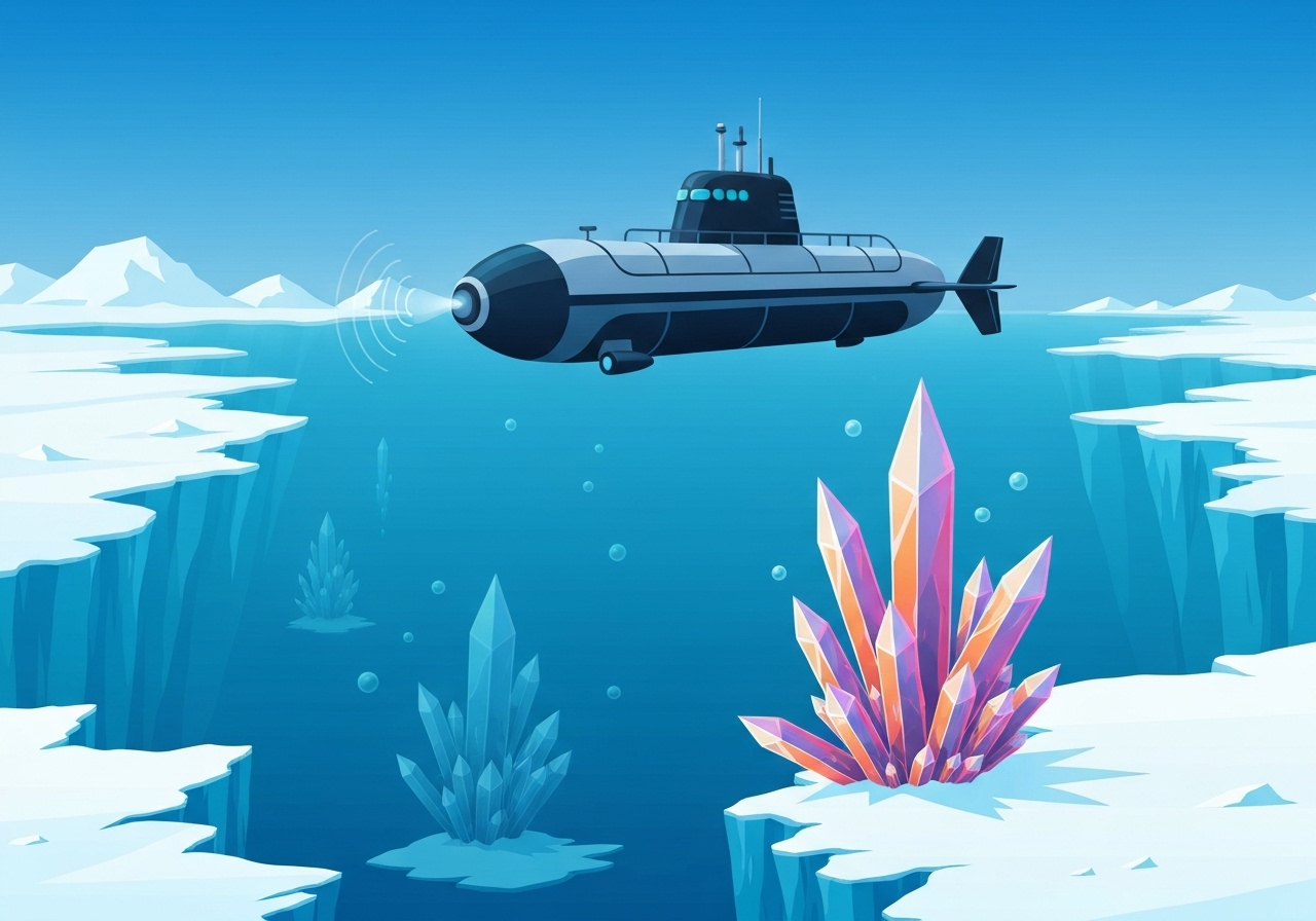
Lead: An autonomous submarine mapping the underside of West Antarctica’s Dotson Ice Shelf detected unexpected geomorphic features and then lost contact while operating roughly ten miles beneath the ice. The vehicle, named Ran, logged weeks of surveys during a 2022 campaign and returned high-resolution sonar maps of about 54 square miles before one mission ended without a recovery signal. The discovery highlights previously hidden patterns of basal melt that contrast sharply across the shelf and carries implications for how fast nearby glaciers may respond to warming oceans.
Key takeaways
- Ran, an autonomous underwater vehicle (AUV) coordinated by Prof. Anna Wåhlin (University of Gothenburg), mapped about 54 square miles of Dotson Ice Shelf underside during 2022 operations.
- Sonar maps reveal terraces, terraced steps, channels and teardrop-shaped pits—features invisible in satellite imagery—indicating highly heterogeneous basal melt processes.
- Measured teardrop pits reached roughly 984 feet long and 164 feet deep, while melt channels correspond to local thinning rates around 40 feet per year.
- Analysis attributes focused erosion on Dotson’s western flank to inflow of Circumpolar Deep Water; the eastern flank shows colder-water protection and stacked icy terraces.
- Ran completed 14 successful under-ice missions in 2022, spending up to 27 days on the shelf and penetrating roughly eleven miles into the cavity during the campaign.
- Between 1979 and 2017, Dotson’s observed contribution to global sea level rise is estimated at about 0.02 inches; Antarctic ice loss overall adds roughly 0.55 inches since 1979.
- The AUV disappeared during a multi-hour, out-of-contact mission; no signal or debris were recovered after it failed to surface at the retrieval point.
Background
Dotson Ice Shelf sits along West Antarctica above deep sub-ice basins that can be reached by relatively warm Circumpolar Deep Water (CDW). Where CDW reaches a shelf base it can melt the ice from below (basal melt), thinning the floating shelf and altering the stresses on grounded glaciers behind it. Researchers have long used satellites to monitor surface elevation and shelf thinning, but satellites cannot see the micro-topography of an ice shelf’s underside.
To close that gap, teams deploy autonomous underwater vehicles such as Ran to map, scan and sample the cavity beneath floating ice. Ran’s 2022 campaign was led by oceanographic physicist Anna Wåhlin and focused on explaining why Dotson’s western flank thins faster than its eastern side. The mission combined local sonar mapping with in situ temperature and salinity measurements to relate physical features to ocean forcing.
Main event
Over a series of sorties in 2022, Ran spent 27 days operating under Dotson, penetrating about eleven miles into the hidden cavity and collecting continuous sonar tracks. The vehicle produced maps showing flat plateaus, stair-step terraces, grooved channels and elongated teardrop pits—all signs of spatially variable melting at the ice base. Terraces were concentrated in the eastern and central sections, while the western region exhibited smoother surfaces pierced by channels and deep scooped depressions.
The teardrop pits, measured up to 984 feet long and 164 feet deep, are oriented and shaped by persistent current paths near the ice base. In some locations full-thickness fractures were imaged, their bases widened and smoothed by melt. Satellite records indicate some cracks have existed since the 1990s; those older fractures show the deepest melt scars in Ran’s sonar data.
During one mission intended to extend the mapping grid, Ran executed a multi-hour under-ice survey without real-time telemetry—standard practice because radio waves and GPS cannot penetrate hundreds of feet of ice. When the vehicle did not reappear at the scheduled pickup point, the team attempted acoustic contact and recovery operations but detected no signals or debris. The loss removed the possibility of retrieving further near-field data from that traverse.
Analysis & implications
The detailed maps reveal how local geometry—fractures, terraces and channels—focuses warm-water erosion at scales that coarse models commonly smooth over. Where water flows steadily but slowly, basal melt tends to produce stacked terraces; where shear-driven turbulence and faster currents prevail, melt preferentially carves grooves and teardrop pits. This spatial heterogeneity means regional melt rates cannot be reliably represented by uniform, basin-scale parameterizations alone.
Focused erosion inside fractures and channels has outsized influence because these features act as conduits that bring relatively warm water into direct contact with deep ice walls. That process can widen cracks from below and convert narrow fractures into efficient pathways for heat, accelerating local ice loss and destabilizing the buttressing effect of the floating shelf on inland glaciers.
From a sea-level perspective, Dotson’s measured contribution of ~0.02 inches between 1979 and 2017 is small in absolute terms but illustrative: West Antarctic shelves sit above deep basins vulnerable to CDW intrusions, and localized melt amplification can presage larger dynamical responses. Incorporating terrace and channel-scale processes into ice–ocean models should sharpen projections of how quickly grounded ice could accelerate if floating shelves thin or collapse.
Comparison & data
| Metric | Value | Notes |
|---|---|---|
| Mapped area | 54 sq mi | High-resolution sonar coverage of Dotson underside |
| AUV campaign duration | 27 days (2022) | Max penetration ~11 miles into cavity |
| Teardrop pit size | ~984 ft long, 164 ft deep | Sculpted by basal currents |
| Melt channel thinning | ~40 ft/yr | Local satellite altimetry estimate |
| Dotson SLR contribution | ~0.02 in (1979–2017) | Combined satellite and in situ analysis |
These quantitative observations place the newly imaged micro-topography in a broader context: terraces and pits are complementary records of variable ocean forcing, while measured thinning rates link those patterns to mass loss detectable from space. Together they provide constraint points for models aiming to translate ocean heat input into future sea-level rise.
Reactions & quotes
“To see Ran disappear into the dark, unknown depths below the ice, executing her tasks for over 24 hours without communication, is of course daunting.”
Anna Wåhlin, Professor of Oceanographic Physics, University of Gothenburg (mission lead)
“The maps change our mental model of a shelf base from a smooth surface to a patchwork of features that will respond differently to warming currents.”
Mission research team (summary of team interpretation)
Unconfirmed
- The precise cause of Ran’s disappearance is not confirmed; possibilities include mechanical failure, entrapment in a crevice, or collision with an unseen ice ridge.
- It is not yet established whether the lost mission traversed a newly forming fracture or an unusually rugged section that could have compromised the vehicle.
- Long-term trends linking specific terraces or pits to episodic warm-water intrusions remain hypotheses until longer time-series observations are obtained.
Bottom line
Ran’s sonar maps from Dotson Ice Shelf reveal a previously hidden landscape of terraces, channels and teardrop pits that record how ocean currents sculpt ice from below. These features demonstrate that basal melt operates at fine spatial scales and is guided by fractures and channels that current models often do not resolve.
Although the loss of Ran during one mission curtailed further direct sampling, the dataset returned from 2022 supplies crucial constraints for ice–ocean models and highlights where targeted monitoring may reveal the earliest signs of destabilization. Improving representation of these under-ice processes is important for narrowing uncertainty in projections of West Antarctic ice loss and its contribution to sea-level rise.