
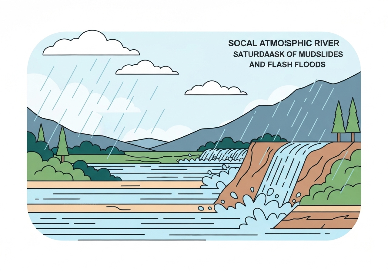
Southern California faces its most intense pulse of an atmospheric river this weekend, with the storm expected to peak Saturday across Los Angeles County and surrounding areas. Forecasters say downtown Los Angeles could see nearly 3 inches of rain between Friday morning and Sunday, while burn scars from recent January wildfires are at elevated risk of fast-moving mud and debris flows. Local authorities have issued flood watches, evacuation warnings and some mandatory evacuation orders for the highest-risk burn-scar properties. Officials urged residents to prepare now for possible road closures, sheltering and power outages.
Key takeaways
- Downtown Los Angeles: up to nearly 3 inches of rain possible from Friday morning through Sunday, with the heaviest period focused on Saturday.
- Flood watch: in effect across a broad swath of Southern California from 4 a.m. to 10 p.m. on Saturday for widespread heavy rain and runoff.
- Evacuations: warnings active through 11 a.m. Sunday around recent burn scars including the Palisades, Eaton, Kenneth, Sunset and Hurst fire areas; some properties under mandatory evacuation.
- Airport fire (Orange County): ignited Sept. 9, 2024, burned ~23,000 acres and destroyed 160 structures; evacuation warning effective 4 p.m. Friday for Trabuco Creek, Bell Canyon and Hot Springs Canyon.
- Rain rates and landslide thresholds: Eaton and Palisades burn scars could receive up to an additional 5 inches Fri night–Sun; ~80% chance of ≥0.5 in/hr and ~33% chance of ≥1 in/hr on those scars.
- Event timing: forecasters place the worst window broadly from about 3 a.m. to 6 p.m. Saturday; the storm’s slow, spinning behavior makes exact timing at a given location uncertain.
- Community impacts: Camp Flog Gnaw postponed to Nov. 22–23; some parks closed; limited airport cancellations reported (SFO ~24 cancellations, LAX minimal early disruptions).
Background
Atmospheric rivers—narrow corridors of concentrated moisture—regularly deliver heavy rain to California, but this system is notable for its slow, spinning motion that can linger over a region. That behavior increases the chance of prolonged rainfall over localized areas, complicating short-term forecasts and raising the risk that hillside drainage systems and damaged slopes will be overwhelmed. Southern California’s recent wildfire season left multiple hillsides stripped of vegetation; fires burned root systems that normally stabilize soil and can create water-repellent layers that increase runoff.
When intense rain falls on these burn scars, debris flows can begin quickly—sometimes within minutes—because water cannot infiltrate soils as before and instead funnels downhill, picking up ash, boulders and burned vegetation. Local governments and state agencies have used sandbags, concrete barriers and public messaging to reduce risk, and they maintain evacuation plans and temporary shelters to move at-risk residents. The intersection of heavy rain, steep topography and populated foothills creates a heightened hazard profile not just for property but for rescue and recovery operations.
Main event
The National Weather Service in Oxnard warned that the storm’s most intense period will generally fall Saturday morning into afternoon, though it cautioned that the system’s spinning nature means some locations could see heavy bursts at different times. A flood watch covers much of the region from 4 a.m. to 10 p.m. Saturday, and forecasters stressed that even if light rain falls locally on Friday, mountain or hillslope rainfall can trigger debris flows downstream where residents live.
Los Angeles County has issued evacuation warnings for areas near recent burns and has placed some high-risk properties under mandatory evacuation. In Orange County, an evacuation warning tied to the Airport fire burn scar took effect at 4 p.m. Friday for zones including Trabuco Creek, Bell Canyon and Hot Springs Canyon; a shelter opened at 7 p.m. Friday at the Foothill Ranch Library Program Annex, 27002 Cabriole Way, Foothill Ranch. Authorities also urged livestock and residents with large animals to relocate them ahead of heavy rains.
On the ground, residents in Altadena and other foothill communities were preparing sandbags, tarps and concrete barriers around damaged lots. Some homeowners and workers have taken measures such as installing orange netting and hay-filled burlap barriers around excavation sites to limit runoff. Parks and entertainment venues announced closures; Camp Flog Gnaw moved to Nov. 22–23. Air travel impacts were limited early Friday, though FlightAware reported 24 cancellations at San Francisco International Airport and minor delays at other hubs.
Analysis & implications
In the short term, the storm may help curtail active fire season by wetting fuels across some landscapes, but it simultaneously raises acute hazards for fire-scarred slopes where vegetation loss and hydrophobic soils amplify runoff and debris flow risk. Emergency managers face the dual challenge of protecting communities from immediate flood and mudflow dangers while also managing the logistics of shelters, road closures and rescue readiness in steep terrain.
Economic and recovery implications are material: repeated evacuations and damage to partially rebuilt properties can slow reconstruction, complicate insurance claims and increase costs for homeowners and local governments. Infrastructure—storm drains, culverts and hillside protections—will be tested; failures could isolate neighborhoods and lengthen recovery timelines. Critical lifelines such as power, water and transportation are at elevated risk in areas with concentrated runoff and downed trees.
From a forecasting perspective, the storm underscores limits in short-term predictability for slow-moving, spinning atmospheric rivers; small changes in track or behavior can produce very different local outcomes. That uncertainty argues for conservative preparedness: authorities and residents should assume the higher-risk scenarios are plausible and act accordingly to reduce life-safety hazards. Over the medium term, the event will likely renew debates over burn-scar mitigation, land-use planning on steep slopes and investment in resilient drainage and slope-stabilization projects.
Comparison & data
| Location | Observed/Forecast Rain |
|---|---|
| Santa Barbara (by Friday noon) | >5 inches observed |
| Downtown Los Angeles (Fri–Sun forecast) | ~3 inches possible |
| Eaton & Palisades burn scars (Fri night–Sun) | Up to +5 inches possible; 80% chance ≥0.5 in/hr; 33% chance ≥1 in/hr |
The table highlights how rainfall totals differ across the region: Santa Barbara received heavier amounts early, while Los Angeles County faces the storm’s main pulse Saturday. The rainfall-rate thresholds (0.5 inch per hour and 1 inch per hour) are important because they mark levels when shallow debris flows and more dangerous landslides are more likely to initiate on recently burned slopes.
Reactions & quotes
Emergency and weather officials stressed caution and readiness ahead of the storm.
“This system is spinning in a way that widens the window of risk across the county; some locations will experience intense bursts at different times,”
Ryan Kittell, National Weather Service (Oxnard)
Kittell emphasized that most residents will not see life-threatening flooding, but localized hotspots—especially burn scars—could experience dangerous flows.
“If anyone receives a knock at their door from law enforcement or the fire department, take the safest approach and evacuate,”
Emily Montanez, L.A. County Office of Emergency Management
Montanez advised residents to prepare a go-bag, check on neighbors and register for local alert systems such as Alert L.A. County and Notify L.A.
“I’m hoping I’m set up enough to stay there. For now I’m just gonna try to ride it out,”
Austin Solliday, Altadena resident and Eaton fire survivor
Residents who lost homes in the Eaton fire described mixed feelings—fatigue from repeated evacuations alongside practical preparations like sandbags and tarps.
Unconfirmed
- Exact localized timing: precise hour-by-hour timing for intense downpours at individual neighborhoods remains uncertain because the storm may wobble or stall.
- Extent of soil contamination: isolated soil tests reported elevated values, but a comprehensive, region-wide assessment of post-fire soil toxicity has not been confirmed.
- Tornado reports: a brief tornado was noted as a possibility in forecasts, but any occurrence within the region during this event has not been confirmed.
Bottom line
This atmospheric river presents a concentrated, high-risk period on Saturday for parts of Southern California, especially in areas scorched by January and September wildfires. While much of the region may experience only heavy rain, communities near burn scars should treat the situation as potentially life-threatening and follow evacuation guidance immediately when issued.
Practical steps: prepare a go-bag, move valuables to upper floors, protect large animals, heed official evacuation orders and avoid driving through flooded roads. In the weeks ahead, the storm will also test local recovery progress, insurance systems and infrastructure resilience, and it should prompt renewed attention to long-term slope stabilization and flood-control investments.
Sources
- Los Angeles Times — news report and on-the-ground reporting (media)
- National Weather Service Los Angeles/Oxnard — official forecast and briefings (federal agency)
- Ready L.A. County / L.A. County Office of Emergency Management — local preparedness guidance (government)
- FlightAware — flight cancellation and delay data (aviation tracker)
- Cal OES My Hazards — hazard mapping and local risk tools (state government)
- FEMA Flood Map Service Center — flood map lookup and risk zones (federal agency)