
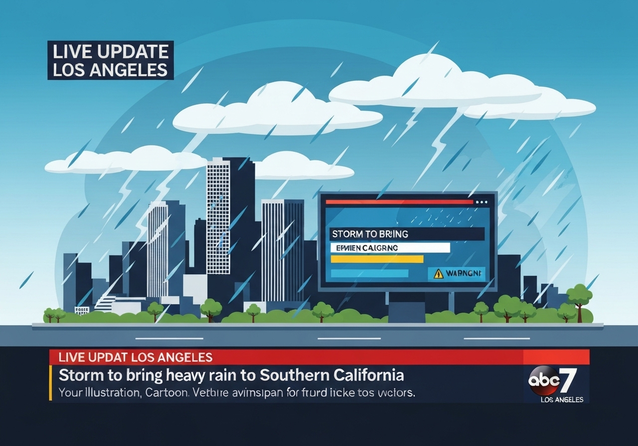
— A Pacific storm pushed into Southern California overnight, bringing heavy rain across Los Angeles, Orange, Riverside, San Bernardino and Ventura counties and prompting evacuation warnings for millions. The system produced widespread soaking on New Year’s Eve and into New Year’s Day with officials warning of debris flows, flash floods and localized flooding in low-lying areas. Authorities declared a local state of emergency in Los Angeles County on Dec. 31, 2025, to accelerate recovery and reimbursement efforts following heavy December storms. First responders and volunteer groups mobilized to assist affected residents while event organizers and parade fans adapted to wet conditions.
Key Takeaways
- Storm impacted five counties—Los Angeles, Orange, Riverside, San Bernardino and Ventura—beginning Dec. 31, 2025 and continuing into Jan. 1, 2026.
- Evacuation warnings covered millions of residents due to risk of debris flows and flash flooding in burn-scarred and hillside communities.
- Forecast rainfall: 1–3 inches in many populated areas and up to 5 inches in mountain zones, according to Los Angeles Fire Department estimates.
- Los Angeles County declared a local state of emergency on Dec. 31, 2025 to expedite recovery and funding requests.
- Volunteer teams such as Team Rubicon were deployed in the San Bernardino mountains to muck out flood-damaged homes; individual losses included complete interior damage at a Piñon Hills residence.
- Rose Parade activities proceeded with heavy rain and increased protections for delicate float components; organizers reported the first measurable parade rain in roughly two decades.
- Recent storms caused debris flows, power outages, water rescues and a rare tornado in Boyle Heights, prompting ongoing caution for additional rain and Santa Ana winds.
Background
Southern California’s winter storm pattern this season has produced several rounds of atmospheric rivers and strong Pacific lows that increased flood and debris-flow risk on slopes burned in recent wildfire seasons. The region’s infrastructure and emergency plans had been on heightened alert after earlier December storms produced significant damage across the Los Angeles basin and adjacent foothills. Burn scars reduce vegetation and soil cohesion, greatly increasing runoff speed and sediment loads during heavy downpours, which in turn raises the chance of destructive debris flows in hillside neighborhoods.
Emergency management agencies had been issuing advisories for days ahead of the New Year’s Eve system, warning residents in vulnerable canyons and along stream channels to prepare to evacuate or shelter as needed. The convergence of holiday activity, overnight celebrations and traditionally high travel volumes on Dec. 31 complicated the public safety picture and placed extra demands on first responders. Local authorities also coordinated with volunteer organizations and mutual aid partners to stage cleanup and recovery resources where previous storms had already damaged homes and roads.
Main Event
Rain intensified overnight on Dec. 31 into Jan. 1, bringing sustained showers and periods of heavier precipitation across coastal plains and valleys. In many neighborhoods, storm drains and low-lying streets experienced standing water and short-duration flooding; in steeper terrain, runoff picked up debris and sent mud and boulders downhill in some areas. Officials issued evacuation warnings for communities judged at risk of debris flows, asking residents to relocate temporarily when safe routes were available.
First responders worked through difficult conditions on New Year’s Eve, when staffing and resource availability are normally constrained by the holiday. Los Angeles Fire Department Captain Adam Vangerpen warned of 1–3 inches of rainfall in populated locations and up to 5 inches in mountain areas, urging limited travel. In the San Bernardino mountains, volunteer teams including Team Rubicon assisted homeowners by removing mud and damaged contents after flash flooding swept through properties.
Public events adapted: Rose Parade staff covered delicate float components and many spectators arrived prepared with umbrellas and ponchos. Attendance patterns shifted—organizers reported fewer front-row campers and more covered seating along Colorado Boulevard—but the procession continued with safety measures in place. Local road closures and travel advisories affected some approach routes to major civic events and created delays for commuters and visitors.
Analysis & Implications
The storm highlights how consecutive wet cycles amplify hazard risk in Southern California. Areas already weakened by earlier storms and wildfire burn scars face outsized exposure to debris flows because soils remain unstable and channels are clogged with sediment. Repeated events also strain local budgets and emergency response capacity; the Los Angeles County emergency declaration aims to streamline financial recovery steps but does not eliminate immediate logistical challenges for displaced residents.
Economically, recurring storms during holiday periods add costs from damage repairs, lost business revenue and increased public-safety operations. The need for volunteers and nongovernmental assistance—illustrated by Team Rubicon’s muck-out efforts—underscores gaps between short-term municipal capacity and on-the-ground recovery labor needs. For residents, repeated impacts raise questions about long-term land-use planning, building codes and the advisability of rebuilding in certain high-risk corridors.
Environmentally, these storms renew concerns about debris-laden runoff harming waterways and increasing sediment loads in reservoirs. Water management agencies may face accelerated dredging and clearing needs, and poorer water quality in the short term could affect aquatic habitats. Climate scientists note that while single storms cannot be attributed solely to climate change, models project greater variability and intensity in atmospheric rivers, which would concentrate precipitation into shorter windows and magnify flood and landslide risk.
Comparison & Data
| Area | Forecast/Observed Rainfall | Recent Impacts |
|---|---|---|
| Coastal/Valleys | 1–3 inches | Street flooding, travel delays |
| Mountain Zones | Up to 5 inches | Debris flows, home damage |
| Recent December Storms | Multiple rounds (Dec. 2025) | Power outages, water rescues, rare tornado in Boyle Heights |
The table summarizes forecast rainfall bands and the known categories of impacts observed during this storm cycle. Mountain areas receiving totals near the upper bound are the most likely locations for destructive debris flows, especially where prior wildfires stripped vegetation. Comparing the current system to earlier December storms shows a pattern of repeated stress on infrastructure and community recovery timelines.
Reactions & Quotes
Officials and volunteers described a mix of readiness and strain as crews and community groups worked through the holiday period.
“Even though it’s not gonna be as severe as last week’s storm, it’s still gonna produce possibly one to three inches, five inches up in the mountain areas.”
Capt. Adam Vangerpen, Los Angeles Fire Department
Public officials emphasized the need for pre-planning and swift recovery steps.
“This proclamation highlights our commitment to respond quickly, support those affected, and ensure a swift and effective recovery for everyone impacted by these storms.”
Hilda L. Solis, Los Angeles County Board Chair (official statement)
Volunteers framed their work as essential to helping homeowners recover immediate habitability.
“We have a group of volunteers that will come out to assist communities in these situations; these disasters can be pretty overwhelming.”
Will Chiaffino, Team Rubicon
Unconfirmed
- Exact number of residents currently under evacuation warning zones remains fluid as local agencies update maps and advisories.
- Precise cumulative economic damage totals from the Dec. 2025 storms have not yet been released by county or state officials.
- Claims about the Rose Parade receiving measurable rain for the first time in exactly “two decades” are based on event anecdotes and may require archival weather checks for confirmation.
Bottom Line
The immediate priority is public safety: heed evacuation orders, avoid flooded roadways, and follow guidance from local emergency officials. The storm added another layer of disruption atop December’s already damaging weather, demonstrating how repeated events can compound recovery needs and strain municipal resources.
Looking ahead, officials and communities should expect continued vigilance during the winter season. Watch for updated rainfall totals, official evacuation map changes, and county briefings on damage assessments and assistance programs that will shape recovery speed for affected households.
Sources
- ABC7 Los Angeles (local news: original live updates and reporting)