
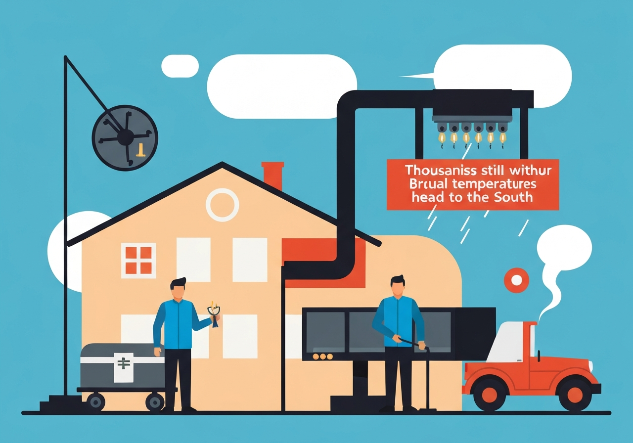
Less than a week after an ice storm tore through the U.S. South, tens of thousands remain without electricity as another arctic surge approaches the region. The National Weather Service has issued cold-weather alerts from Texas to Florida, warning that prolonged exposure could cause hypothermia and other life-threatening conditions. Officials report multiple storm-related deaths across several states, attributed to hypothermia, suspected carbon monoxide poisoning and accidents. States and utilities continue restoration and debris-removal efforts while communities brace for renewed snow, ice and bitter lows.
Key Takeaways
- As of late January 2026, tens of thousands in multiple Southern states remain without power after a powerful ice storm disrupted grids and toppled trees.
- The National Weather Service has active cold warnings from Texas through Tennessee and into Florida; wind chills may dip near or below zero from central Tennessee into northern Mississippi by Saturday morning.
- Forecast highs Saturday include roughly 21 degrees in Nashville and 26 degrees in Oxford, Mississippi, while nighttime lows will dip into the teens in parts of Tennessee and northern Mississippi.
- Florida faces its coldest air in more than 15 years for some locations, with predicted lows in the 20s for Tallahassee, Jacksonville and Orlando and mid-30s in parts of South Florida.
- Several dozen fatalities across multiple states have been reported in connection with last week’s winter storm, per the Associated Press; confirmed causes include hypothermia, suspected carbon monoxide poisoning and vehicle-related accidents.
- Power restoration is complicated by fallen trees that often damage multiple lines at once, and many Southern distribution systems are optimized for hurricanes and heat rather than heavy ice.
- Agricultural losses are a major concern: growers report frost damage to vegetables and protective measures are being deployed in citrus groves, though overall impacts remain uncertain.
Background
The ice storm that struck the South earlier in the week produced widespread accumulations of ice, downed trees and damaged power infrastructure across Tennessee, Mississippi, Georgia and neighboring states. Southern utility networks, which are frequently engineered to resist hurricanes and heat, were pushed beyond typical design conditions by heavy ice loading and the resulting tree failures. Repair crews have been working around the clock amid challenging conditions, but restoration timelines have been extended where multiple circuits were cut by fallen timber.
Winter storms in the region have in recent years produced amplified impacts as more people rely on electric heating and as population growth increased the number of customers affected by a single outage. Emergency shelters and local relief organizations have been mobilized to support older adults and unhoused people, groups that face elevated risk during extended cold snaps. At the same time, supply-chain and labor constraints—compounded by the geographic spread of outages—have slowed some mutual-aid deployments between utilities.
Main Event
Forecasters say a new arctic blast will move back into the South on Friday night and into the weekend, bringing another round of dangerously cold temperatures and the potential for snow across parts of the Southeast. The NWS forecasts widespread snow Friday night across eastern Tennessee, much of North Carolina, northern South Carolina and northeastern Georgia, with blizzard conditions possible in isolated areas if winds combine with heavy snow.
Temperatures are expected to plunge again: Friday night lows could fall into the teens across much of Tennessee and northern Mississippi, while southern Mississippi and Louisiana may see lows in the 20s. Gusty winds accompanying the front will drive wind chills down well below actual air temperatures, increasing hypothermia risk for anyone exposed without adequate heat or shelter.
Florida, which largely avoided severe ice on the prior storm, is not immune to this cold blast. Forecasts show popular population centers such as Tallahassee, Jacksonville and Orlando dipping into the 20s early Sunday, with Miami and other South Florida locations potentially challenging daily record lows. State agriculture officials and growers are actively deploying frost-protection measures ahead of the coldest hours.
Utilities continue to face complex restoration tasks. Experts note that ice damage is often spatially concentrated where branches and trunks pull down multiple conductors, transformers and poles simultaneously. That means repair work requires clearing debris, assessing multiple circuit damages and sometimes rebuilding small sections of distribution lines rather than simply reconnecting a single point.
Analysis & Implications
The immediate humanitarian concern is the intersecting risks of extended outages and renewed freezing conditions. Households without power face loss of heat, limited capacity to cook or boil water, and elevated carbon monoxide risk if generators or indoor combustion sources are used improperly. Local officials have emphasized the need for shelters, warming centers and public information on generator safety to reduce preventable fatalities.
Economically, a sustained cold snap threatens agricultural output in a region that supplies winter produce for national markets. Florida exports leafy greens, strawberries and other vegetables through the winter, and freeze conditions can inflict both short-term yield losses and longer-term damage to perennial crops. Citrus growers are employing established frost protections, but the final scale of damage depends on temperature duration, wind and the timing relative to crop stages.
From an infrastructure standpoint, repeated extreme-weather events expose the trade-offs in regional planning. Systems optimized for heat and hurricanes are more vulnerable to heavy ice; this event is likely to renew discussions about grid hardening, tree management programs, and investments in undergrounding or strengthened pole and conductor standards. However, those upgrades require substantial funding and time to implement, so near-term resilience will continue to rely on response planning and mutual-assistance agreements.
Comparison & Data
| Location | Forecast high (Sat) | Forecast low (early Sun) | Notable record context |
|---|---|---|---|
| Nashville, TN | 21°F | Into the teens | Saturday high near 21°F |
| Oxford, MS | 26°F | 20s (night) | Saturday high near 26°F |
| Orlando, FL | — | 24°F (Sun morning forecast) | Could match coldest since Dec. 29, 2010 |
| Miami, FL | — | 36°F (Sun morning forecast) | Potentially coldest since Dec. 2010 if realized |
| Tallahassee/Jacksonville, FL | — | 20s (Sun morning forecast) | Temperatures may challenge daily lows |
The table above summarizes forecast figures reported by meteorologists and local forecast offices. These values are subject to refinement as models update; the greatest hazards will occur when low temperatures, strong winds and remaining power outages overlap, leaving vulnerable populations exposed overnight.
Reactions & Quotes
An equal concern is the frigid Arctic blast and the blustery winds.
Marshall Shepherd, University of Georgia
Shepherd emphasized that while some communities may welcome scenic snowfall, the primary concern remains protecting vulnerable residents and ensuring emergency services can operate during high demand.
When trees fall, they tend to take down multiple power lines at once, which makes restoration more complex.
Sara Eftekharnejad, Syracuse University
Eftekharnejad noted that Southern distribution systems often face long repair timelines after significant ice loading, in part because multiple circuits can be damaged in a single event.
It remains too early to estimate statewide impacts to crops; effects will vary by location, duration and severity of the freeze.
Shannon Shepp, Florida Department of Citrus
State agricultural leaders said growers are deploying frost protection and monitoring fields, but final damage assessments will depend on how long critical thresholds are sustained.
Unconfirmed
- The precise final death toll and full cause breakdown remain under consolidation by state authorities and are subject to revision.
- Comprehensive statewide estimates of agricultural losses are not yet available; early field reports indicate localized frost damage but total economic impact is pending.
- Exact timetables for full power restoration in certain hard-hit counties are provisional and may change depending on weather and access to repair crews.
Bottom Line
Communities across the U.S. South face a compounding crisis: widespread outages from last week’s ice storm plus a fresh arctic surge that will bring dangerously low temperatures and wind chills. The greatest near-term risks are hypothermia, improper generator use and disrupted emergency services where outages persist. Residents should heed official cold-weather alerts, seek warming centers if needed and follow guidance on generator safety and travel restrictions.
In the medium term, the event highlights infrastructure and agricultural vulnerabilities in a region whose design priorities have historically focused on heat and hurricanes. Policymakers, utilities and growers will all be pressed to evaluate resilience measures, but those investments take time—so immediate preparedness and coordinated response remain critical for reducing harm in the days ahead.
Sources
- ABC News — (media report summarizing forecasts and interviews)
- National Weather Service — (official forecast and warnings)
- Associated Press — (news report on fatalities connected to the winter storm)