
A fast-moving winter storm struck the Tri-State region beginning Friday evening, producing heavy snow in parts of Connecticut, the Hudson Valley, Long Island and northern New Jersey and lighter accumulations through New York City. Snowfall rates reached an estimated 1–2 inches per hour at the storm’s peak in some locales, then tapered Saturday morning. The National Weather Service logged 4.3 inches at Central Park at 7 a.m. Saturday — the first time Central Park exceeded 4 inches since the Jan. 2022 storm that dropped 8.3 inches. Sleet reduced totals across southern and western portions of the city and nearby suburbs, producing a sharp north–south gradient in reported amounts.
Key Takeaways
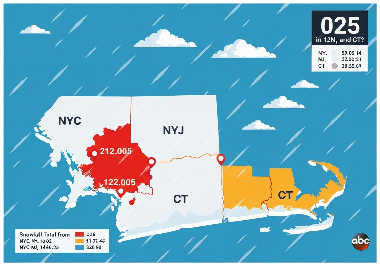
- The National Weather Service reported 4.3 inches in Central Park at 7:00 a.m. on Dec. 27, 2025, the highest Central Park total since the Jan. 2022 storm (8.3 inches).
- Connecticut saw some of the largest totals: New Fairfield measured 9.1 inches and Meriden recorded 9.0 inches in trained-spotter reports.
- Long Island and the Hudson Valley recorded widespread 4–7 inch totals; North Patchogue (Suffolk County) reported 6.8 inches and Armonk (Westchester) 6.4 inches.
- Northern New Jersey and parts of northern Westchester saw moderate snow; Hudson County’s Harrison reported 4.0 inches while many Essex and Bergen sites reported 2–3 inches.
- Major airports reported lower totals: JFK (Queens) 2.5 inches, LaGuardia (Queens) 2.0 inches, and Newark Airport 2.5 inches (official NWS observations).
- Reported observation types vary (Trained Spotter, Public, Official NWS Obs, NWS Employee, CO-OP), so some numbers remain subject to post-event quality control.
Background
The late-December system developed offshore and tracked close enough to the coast to deliver heavy snow inland while southern urban areas received a mix of sleet and wet snow. Coastal temperature profiles and a brief intrusion of slightly warmer air produced sleet and reduced accumulations across much of New York City and areas immediately to the south and west. Historically, December storms that track similarly have yielded sharp inland gradients, with higher totals in the Hudson Valley, Connecticut interior and eastern Long Island.
Forecasting agencies had warned of rapid snowfall rates during the storm’s prime window Friday night into early Saturday, with localized snowfall rates of 1–2 inches per hour. Emergency managers and transportation officials typically mobilize plows and salt crews for such events, prioritizing highways and major arterials while secondary roads can remain slick. The observed pattern — heavier snow north and east of the city, lower totals toward the coast — aligns with model guidance issued in the 24 hours before the event.
Main Event
The first flakes began Friday evening and intensified overnight. Observers documented the heaviest accumulations in parts of Connecticut (Fairfield, New Haven, Middlesex, New London counties), the Hudson Valley, northernmost New Jersey and eastern Long Island. In Connecticut, New Fairfield recorded 9.1 inches (trained spotter) and Meriden 9.0 inches (trained spotter); multiple towns in Middlesex and New London counties reported 6–7+ inch totals.
Long Island reported several 5–7 inch readings: North Patchogue measured 6.8 inches, and multiple Suffolk County locations (Flanders, Babylon, Bohemia, Islip Airport and others) reported totals generally between 4.7 and 5.8 inches. Westchester County saw pockets of heavier snow, including Armonk at 6.4 inches and Peekskill at 6.1 inches (trained spotters).
Northern New Jersey saw mainly 2–4 inch amounts in the NWS reports provided: Franklin Lakes (Bergen) 3.2 inches and Harrison (Hudson) 4.0 inches. Within New York City boroughs, reported totals were lower: Central Park 4.3 inches, Williamsburg (Kings) 3.5 inches, Bay Ridge 3.1 inches, while LaGuardia and JFK airports recorded 2.0 and 2.5 inches respectively (official NWS observations).
Analysis & Implications
The spatial pattern — heavier snow north and east, sleet and lower totals near and south of central NYC — is consistent with a coastal-adjacent track that allowed cold air inland but permitted a shallow warm layer closer to the coast. That warm layer produces sleet and wet snow, which compacts more readily and reduces measured accumulation compared with dry, powdery snow. As a result, suburbs and interior Connecticut saw higher measured totals than most of New York City.
Transportation impacts were uneven: highways and major routes received prioritized treatment, but secondary streets, sidewalks and untreated surfaces became slick quickly during peak rates. Airports reported light to moderate accumulations; the 2–2.5 inch totals at LaGuardia and JFK are consistent with sustained operations but did require ramp and deicing activity. Commuter rail and bus services typically experience delays under these conditions, though full service disruptions were not uniformly reported.
Economically, late-December snow can affect retail activity, travel demand and staffing for holiday-weekend operations. Local governments incur cleanup and overtime costs, and businesses along heavily affected corridors may see reduced foot traffic. In contrast, interior towns that saw near-9-inch totals face higher snow-removal burdens and localized structural concerns, such as roof loading on smaller buildings and temporary access restrictions for emergency vehicles.
Comparison & Data
| Representative Site | County/Area | Reported Snow (inches) |
|---|---|---|
| New Fairfield | Fairfield County, CT | 9.1 |
| Meriden | New Haven County, CT | 9.0 |
| Central Park | Manhattan, NY | 4.3 |
| North Patchogue | Suffolk County, NY | 6.8 |
| Armonk | Westchester County, NY | 6.4 |
| Harrison | Hudson County, NJ | 4.0 |
| JFK Airport | Queens, NY | 2.5 |
The table highlights the pronounced gradient across the Tri-State: Connecticut interior and parts of Long Island and Westchester exceeded 5 inches in many locations, while coastal airports and southern city neighborhoods remained in the 2–4 inch range. Report types vary (trained spotters, public reports, official NWS observations), so direct station-to-station comparisons should account for reporting method and timing of observation.
Reactions & Quotes
Emergency and weather agencies issued guidance throughout the event, stressing caution during high-rate snowfall and overnight travel. Local crews remained active on primary roads while warning of slick secondary streets.
“Periods of heavy snow produced localized rates up to 1–2 inches per hour in portions of the Tri-State area.”
National Weather Service (official observation)
On-air and local reporters relayed neighborhood conditions and travel advisories; social media and eyewitness submissions provided additional real-time context for accumulations and road conditions.
“We saw several inches on lawns and untreated sidewalks by early morning, with crews focused on main routes first.”
Local field report (broadcast/eyewitness)
Unconfirmed
- Some public and amateur reports remain subject to NWS quality control; not all preliminary totals have been formally verified by the NWS.
- Exact contribution of sleet versus snow to measured totals in southern parts of New York City and immediate suburbs requires post-event analysis and verification.
Bottom Line
This Dec. 26–27, 2025 shore-proximate storm produced a classic gradient across the Tri-State: interior Connecticut, the Hudson Valley and eastern Long Island received the heaviest snowfall, while New York City and coastal zones saw lower totals due in part to sleet and a shallow warm layer. Central Park’s 4.3-inch reading at 7 a.m. on Dec. 27 is notable as the first exceedance of 4 inches there since January 2022.
Residents and travelers should expect lingering impacts on secondary roads and sidewalks despite prioritized clearing of main arteries; municipal cleanup and post-storm inspections will continue through the weekend. Officials will finalize and quality-control reported totals in the days ahead, and any significant revisions will be reflected in the National Weather Service’s official records.
Sources
- WABC-TV / ABC7 New York — local broadcast/eyewitness report (original article)
- National Weather Service — official observations and preliminary snowfall reports (federal agency)