
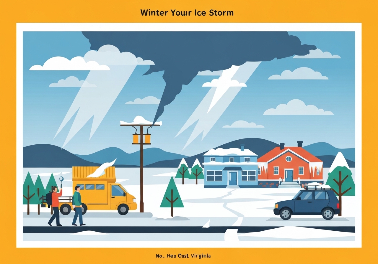
Lead: A major winter system is sweeping across Virginia beginning late Saturday afternoon (Jan. 24), with statewide Winter Storm Warnings in effect. Snow will start in western counties late Saturday, reach central Virginia by Saturday evening, transition to sleet overnight and become freezing rain on Sunday with periods of heavy ice. Forecasters warn of potentially historic ice accumulation that could trigger widespread power outages lasting multiple days in some communities. The system is expected to end before daybreak Monday.
Key Takeaways
- Winter Storm Warnings are active across the entire state of Virginia beginning late Saturday, Jan. 24.
- Snow will begin in western Virginia late Saturday afternoon and push into central Virginia by Saturday evening.
- Precipitation will change from snow to sleet overnight and to freezing rain on Sunday, with heavy ice accumulation anticipated.
- Snow and sleet totals are forecast to range from 1–2 inches near the North Carolina border to over a foot in northwestern Virginia.
- Forecasters cautioned that ice amounts could be historic, raising the risk of widespread power outages that may last multiple days in harder-hit areas.
- The storm is expected to end before daybreak Monday, with daytime highs staying in the 20s to around 30 degrees Fahrenheit.
Background
Winter storms that bring a rapid changeover from snow to freezing rain create some of the most disruptive weather impacts in the Mid-Atlantic because ice adheres to trees, power lines and roads. Communities across Virginia have seen multi-day outages in past icing events when heavy glaze accumulated on infrastructure and downed tree limbs. State and local emergency managers typically issue preparedness guidance—encouraging residents to have food, water, medicine and alternate heat sources ready—when the National Weather Service forecasts prolonged freezing rain.
Key stakeholders for this event include the National Weather Service (NWS), Virginia emergency management officials, electric utilities and county road crews. Utilities may need to mobilize mutual-aid crews from outside the state if damage is widespread, which can extend restoration timelines. School districts and local governments often pre-announce closures and cancel public events when long-duration outages or treacherous travel are likely.
Main Event
The storm timeline begins late Saturday afternoon (Jan. 24) in western Virginia where lower elevations will see the first snow bands. By Saturday evening the snow is expected to advance into central parts of the state, producing several inches in some spots before a temperature profile changes overnight. As warmer air overruns a cold surface layer, precipitation will turn to sleet and then to freezing rain on Sunday, increasing the risk of glaze ice accumulation.
Forecasts indicate the greatest snow totals—more than a foot—are likely in northwestern Virginia, while southern and southeastern counties near the North Carolina border may see only 1–2 inches of snow and sleet. The primary hazard through Sunday will be heavy freezing rain that can coat trees and power infrastructure with ice. Local road conditions are expected to deteriorate quickly; black ice and slick bridges will make travel dangerous even at reduced speeds.
Emergency responders and utility operators are monitoring the threat closely. Officials warn that heavy ice can produce downed lines and poles, leading to extended outages in rural and suburban areas. The system should move out and taper off prior to daybreak Monday, but lingering slick spots and isolated impacts could persist into Monday morning as temperatures remain cold.
Analysis & Implications
Heavy freezing rain presents outsized risk to the electrical grid compared with a comparable snowfall because ice is denser and adheres directly to conductors and vegetation. When multiple lines fail across a wide area, restoration requires coordinated field crews, equipment such as bucket trucks and possibly tree-removal teams. Those resources are limited and often stretched thin, so some customers could be without power for multiple days depending on damage severity and access.
Transportation and supply chains will also feel the effects: downed trees and icy roads can impede delivery trucks and emergency vehicles, complicating both routine commerce and disaster response. Schools and employers may opt for closures or remote operations to reduce exposures; such decisions, while disruptive, are intended to prevent accidents and conserve emergency resources. Local economies—especially small businesses dependent on foot traffic—can face several days of lost revenue following major icing events.
From a forecasting perspective, the greatest uncertainty lies in the precise thermal profile near the surface; small temperature differences determine whether precipitation falls as snow, sleet or freezing rain. That sensitivity makes hour-by-hour updates crucial for emergency managers and utilities deciding when to pre-stage crews or advise evacuations of critical facilities. If ice totals reach the extreme end of current guidance, the event could join the list of historically serious Virginia icing storms in terms of outages and infrastructure damage.
Comparison & Data
| Area | Snow / Sleet | Ice Accumulation (forecast) |
|---|---|---|
| Near North Carolina border | 1–2 inches | Periods of freezing rain; measurable ice possible |
| Central Virginia | Several inches (locally variable) | Moderate to heavy icing expected Sunday |
| Northwestern Virginia | Over 12 inches | Heavy icing possible in mixed zones |
The table summarizes the current official forecast ranges: lighter totals near the southern border, heaviest snow in the northwest and substantial icing risk where precipitation transitions to freezing rain. These patterns reflect typical upslope snowfall in higher terrain combined with overrunning warm-air aloft that produces freezing rain farther east and southeast.
Reactions & Quotes
“Winter Storm Warnings are in effect statewide; residents should prepare for significant icing and potential prolonged power outages.”
National Weather Service (official forecast guidance)
The NWS statement underscores the statewide scope of the warnings and the need for readiness. Its guidance typically triggers local emergency declarations and utility preparedness actions.
“Customers should gather supplies now and be ready for outages that could last multiple days in some communities.”
Virginia emergency management officials (preparedness advisory)
State emergency managers commonly advise residents to plan for multi-day outages when forecasts show heavy ice; this guidance helps households and institutions to make early decisions about closures and resource needs.
Unconfirmed
- Exact ice accumulation amounts by county remain uncertain; detailed, location-specific figures have not yet been verified.
- Predicted restoration timelines for specific utilities are tentative and will depend on damage assessments after the storm.
- Specific road closure lists and school district decisions are pending local announcements and may change hour by hour.
Bottom Line
The storm poses a statewide threat to Virginia with a hazardous sequence of snow, sleet and especially freezing rain on Sunday that could generate historic ice in some areas and widespread power outages lasting multiple days. Residents in affected counties should finalize preparedness plans now: charge devices, gather water and medications, and make contingency arrangements for heat and food if electricity is lost.
Monitor hourly updates from the National Weather Service and local emergency officials, avoid nonessential travel during the height of the event, and follow guidance from utilities and county authorities regarding outages and road safety. The situation can evolve quickly; timely local information will be essential for minimizing harm and expediting recovery.