
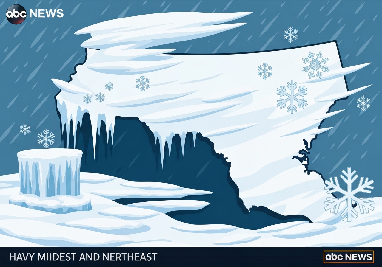
— A major winter storm moving across the northern United States is expected to spread freezing rain, ice and snow from the Upper Midwest into the Lower Northeast this week. Forecasters say the system will primarily affect the upper Midwest on Thursday, reach much of the Lower Northeast on Friday and clear by Saturday morning in many areas. Significant ice accumulations are most likely in central and western Pennsylvania, while pockets of heavy snow — in some places 8–9 inches — are forecast from western Pennsylvania through parts of the New York metropolitan area. Travel disruptions and localized power outages are a primary concern for state agencies and utilities during the storm’s peak.
Key Takeaways
- Storm timing: Upper Midwest impact expected Thursday; Lower Northeast impact Friday; many areas clear by Saturday morning between 8:00 and 11:00 a.m.
- Snow totals: New York City, northern New Jersey, southern Hudson Valley and western Pennsylvania could see more than a half-foot, with isolated amounts up to 8–9 inches.
- Ice totals: Central and western Pennsylvania may receive over a quarter-inch of ice; northeastern West Virginia and parts of Michigan could see up to 0.2 inches of glaze.
- Upper Midwest ice: Northern Minnesota through northern Wisconsin and Michigan may see roughly 0.2 inches of ice Thursday into Friday, affecting untreated road surfaces.
- New York City timing: Flurries possible as early as noon Thursday; most accumulating snow is forecast after 4:00 p.m. and through Thursday night.
- Safety concerns: Drivers along I-80, I-70 and regional highways are advised to use extreme caution; utilities warn of possible localized power outages from heavy icing.
- Secondary impacts: Washington, D.C., and Baltimore could experience light ice on Friday into Friday night, creating slick conditions on bridges and overpasses.
Background
Late-December storms that bring mixed precipitation are common when cold continental air meets moist Atlantic or Gulf-sourced flow. This system is no exception: models show a strong thermal gradient across the Midwest and Northeast that favors freezing rain in the cold sector and heavier snow where colder air is entrenched. Infrastructure and emergency-response plans in the region are seasonally attuned to these transitions, but the mix of snow and ice complicates clearing and deicing operations.
Transportation agencies in multiple states have prepositioned salt, anti-icing liquids and plow crews ahead of the storm. Past events with similar thermal profiles have produced concentrated ice where a shallow cold layer sits near the surface while warmer air overruns aloft, creating rapid glaze on trees and lines. Because this storm arrives over the holiday period, there are added concerns about reduced staffing for operations and higher travel volumes at specific times.
Main Event
Forecasters indicate freezing rain will begin across parts of northern Minnesota and Wisconsin Thursday evening, with northern Minneapolis included in the risk zone. The freezing precipitation is expected to progress eastward into Michigan by Friday morning, then shift into western and central Pennsylvania later Friday morning. Central and western Pennsylvania are highlighted for the heaviest icing, where more than a quarter-inch of accumulation is possible in locations such as Johnstown and Clarion.
Snow-producing bands are forecast farther east. New York City may see snow flurries as early as noon Thursday, with the bulk of accumulating snowfall after 4:00 p.m. Snow is expected to persist through Thursday night across upstate New York, New Jersey, eastern Pennsylvania, Connecticut, Rhode Island and Massachusetts, though Boston is not projected to receive significant accumulations.
By Friday evening the system should be shifting offshore for many coastal zones, while interior pockets of precipitation continue to change over between snow and freezing rain. Much of the heavy to moderate snowfall is expected to end by 4:00 a.m. on Sunday in some northerly and interior areas, though several regions will see the main precipitation exit earlier — between 8:00 and 11:00 a.m. on Saturday.
Analysis & Implications
Mixing of snow and freezing rain increases the hazard profile compared with a pure snow event. Even modest ice accumulations (0.1–0.3 inches) can bring down tree limbs and service lines, creating localized outages and complicating restoration. Utilities in the most at-risk counties are staging crews and mutual-aid agreements, but duration of outages will depend on how widespread the glaze becomes.
Transportation impacts will vary by time and location. Highways that remain untreated during the onset of freezing rain can develop a thin, invisible layer of ice that causes multi-vehicle collisions. Freight movements from Midwest distribution hubs into Northeast markets could face delays, and airlines may experience cancellations as deicing demand increases during evening and early-morning operations.
Public-safety messaging will be critical: states generally urge limited travel during peak icing and snow rates and recommend motorists carry winter kits and allow extra time. Because the storm falls on a major holiday date, emergency and public-works staffing patterns are constrained; agencies emphasize pre-storm preparations to mitigate that gap.
Comparison & Data
| Region | Expected Snow | Expected Ice | Primary Timing |
|---|---|---|---|
| New York City & northern NJ | More than 0.5 ft possible; pockets to 8–9 in | Light in city; moderate inland | Thu noon–Thu night (bulk after 4 p.m.) |
| Western & central Pennsylvania | Heavy snow in some zones | Over 0.25 in in places (Johnstown, Clarion) | Fri morning–Fri night |
| Northern MN, WI, MI | Light to moderate snow | ≈0.2 in glaze possible | Thu evening–Fri |
| Northeastern WV | Minor snow | Up to 0.2 in | Fri |
The table summarizes forecast ranges: snow totals vary sharply on small spatial scales depending on the storm track, with a pronounced gradient between interior cold zones and coastal areas. Emergency managers use these bands to prioritize plow and line crews, while transportation officials plan lane treatments based on the timing windows shown above.
Reactions & Quotes
“Travel will become hazardous where freezing rain occurs. Motorists should allow extra time and avoid unnecessary trips during the worst windows.”
National Weather Service (official advisory)
The National Weather Service emphasized the mixture of precipitation types and urged caution for overnight travel in the Upper Midwest and for Friday morning commutes in the Northeast.
“Crews are pre-staged and treating priority routes; however, when glaze forms quickly, untreated surfaces can become slick very fast.”
Pennsylvania Department of Transportation (state agency)
PennDOT warned that interstates such as I-80 and I-70 may be hazardous and asked drivers to reduce speed and increase following distance. The agency also highlighted active coordination with utilities for potential power outages.
“Even small amounts of ice can lead to widespread service interruptions if they accumulate on older lines and branches.”
Regional utility emergency planner (utility sector)
Utility planners described staged restoration strategies and mutual aid agreements being readied to respond rapidly if lines go down during peak icing.
Unconfirmed
- Exact localized snowfall and ice totals remain model-dependent and may change with minor shifts in the storm track.
- No official statewide estimates of expected power outages have been released; outage counts will depend on ice distribution and tree-fall patterns.
- Timing of peak impacts in some coastal versus interior counties is still uncertain; microclimates could alter onset by several hours.
Bottom Line
This winter storm on December 25, 2025 presents a mixed precipitation threat that merits preparation: expect a banded pattern of heavy snow in some interior corridors and dangerous freezing rain in central and western Pennsylvania and parts of the Upper Midwest. Motorists should plan for slippery roads and potential travel delays, and residents in vulnerable areas should be ready for short-term power interruptions.
State and local agencies have pre-deployed crews and equipment, but the situation will demand adaptive responses as forecasts refine the storm track. Travelers and businesses should monitor official updates from the National Weather Service and state departments of transportation through Friday to make informed decisions about travel and operations.
Sources
- ABC News (national news report)
- National Weather Service (official forecasts and advisories)
- Pennsylvania Department of Transportation (PennDOT) (state agency notices)
- Minnesota Department of Transportation (state agency notices)