
Lead
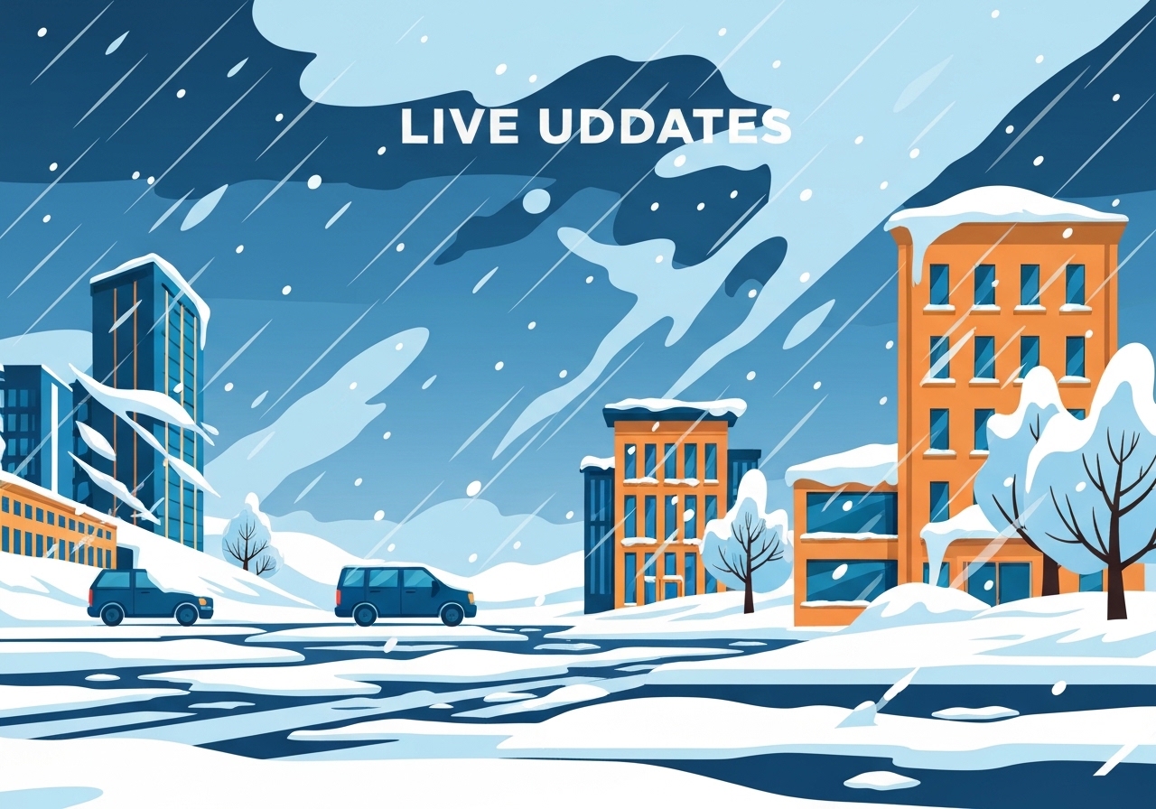
A sprawling winter storm on Sunday stretched roughly 1,500 miles from Texas into the Northeast, dumping heavy snow in parts of the I-95 corridor and coating large swaths of the South with damaging ice. The system triggered a surge in power outages—peaking at nearly 700,000 customers tracked by PowerOutage.us at one point—and forced the cancellation of more than 15,000 flights since Saturday. Cities from Nashville and Little Rock to New York City and Philadelphia reported significant travel disruptions, fallen trees and localized infrastructure damage. Forecasters warned bitter cold would follow the precipitation, prolonging the hazard for people who remain without heat or power.
Key takeaways
- The storm covered about 1,500 miles from the Southern Plains to the Northeast and produced heavy snow, sleet and freezing rain across multiple regions.
- PowerOutage.us recorded outage counts that surged toward nearly 700,000 customers nationally at the storm’s peak, with large concentrations in Tennessee, Texas, Mississippi and Louisiana.
- FlightAware reported more than 15,000 flight cancellations since Saturday, including nearly 10,000 cancellations on Sunday and growing impacts into Monday.
- Snow totals ranged from about 6–12 inches across the Central Plains into New England, with local extremes such as 23 inches near Crested Butte, Colorado, and 11.4 inches in Oblong, Illinois.
- Nashville and parts of the South experienced damaging ice accumulations—about a half-inch in several locations—bringing down tree limbs and knocking out distribution lines to tens of thousands of customers.
- New York City reported moderate snow early Sunday with Central Park at 11°F and forecasts calling for 8–12 inches before a likely switch to sleet and freezing rain.
- NOAA’s Storm Prediction Center warned snowfall rates up to 1 inch per hour in parts of the mid-Atlantic and noted convective energy in the southern flank produced lightning with more than 50 strikes in several hours.
Background
The storm developed as a deepening surface low drew Gulf moisture northward into an arctic air mass. That setup produced a classic thermal gradient: heavy, fluffy snowfall where the column was cold enough, and freezing rain or sleet where a warm layer aloft overrode subfreezing surface air. These mixed-precipitation regimes are especially disruptive because freezing rain accumulates as glaze on trees and power lines while heavy, wet snow can topple branches. Infrastructure in parts of the South, which seldom sees prolonged ice loads, is particularly vulnerable to the combination of ice accretion and high wind.
Emergency managers had issued winter-storm warnings and advisories across a broad swath of states from New Mexico and Texas through the Ohio Valley and into New England. Airports and airlines preemptively canceled flights as conditions deteriorated; FlightAware’s aggregation tracked cascading cancellations with the largest impacts centered on New York, Boston and Washington, D.C. In past similar events, extended outages and cold snaps have led to multi-day restoration timelines and spikes in shelter demand, which officials say they are preparing to address.
Main event
Overnight and into Sunday morning, power outages climbed rapidly. PowerOutage.us showed outages concentrated in the South—Tennessee (more than 120,000 customers), Mississippi (around 88,000), Texas (nearly 100,000) and Louisiana (over 75,000) among the hardest hit. In Davidson County (Nashville), photos from the area’s primary utility showed large tree limbs snapped by ice, leaving more than half the county’s tracked customers without power at one point.
In the Northeast, heavy snow was falling along the Interstate-95 corridor. New York City’s Central Park reported moderate snow with temperatures near 11°F; forecast guidance called for 8–12 inches of accumulation before a transition to sleet and freezing rain later in the day. Baltimore and Philadelphia saw rapidly worsening visibility and snowfall rates that the Storm Prediction Center said could reach an inch per hour in the most intense bands.
Air travel was severely disrupted: FlightAware tallied over 15,000 cancellations since Saturday, with nearly 10,000 cancellations on Sunday alone—roughly one-quarter of the Federal Aviation Administration’s daily typical traffic. Cincinnati/Northern Kentucky International Airport, New York-area airports and hubs in Boston and Washington reported high cancellation numbers that were still increasing for Monday.
In the Southern Plains and lower Mississippi Valley, convective elements within the storm produced thunder and lightning with more than 50 strikes observed in a recent three-hour window, an unusual feature for wintry precipitation and a marker of localized instability. Road conditions deteriorated quickly where ice glazed pavement, prompting road closures and numerous stranded vehicles in Texas and Arkansas.
Analysis & implications
The immediate human risk from this storm is twofold: hazardous travel and prolonged exposure to cold for people who lose heating. When ice and wind combine to bring down distribution lines and trees, restoration becomes slower because crews must clear debris before repairs. In many Southern jurisdictions, utilities maintain smaller crews for winter events because major ice storms are infrequent, which can delay restoration compared with northern utilities accustomed to heavy winter loads.
Economically, the storm’s travel disruption—tens of thousands of cancelled flights and closed highways—translates into significant short-term losses for airlines, freight operators and local businesses. Supply-chain impacts may ripple for several days if airports and interstates remain constrained. The timing of the storm during a busy travel weekend amplified the disruption to passengers and freight alike.
From an infrastructure resilience perspective, the event highlights vulnerabilities in both transmission and distribution systems. “Galloping” of iced transmission lines—a phenomenon where uneven ice and wind induce large oscillations—has been observed in Texas during this storm and can precipitate cascade outages by creating mechanical failures. Utilities and regulators will likely review preparedness plans, vegetation management and mutual-assistance agreements following post-storm assessments.
Comparison & data
| Region | Reported depth/ice |
|---|---|
| Rockies (near Crested Butte, CO) | 23 in |
| Midwest (Oblong, IL) | 11.4 in |
| Plains (north-central Kansas) | 8 in |
| South (Gibson, AR) | 8 in (snow/sleet mix) |
| Selected ice reports (Hall Summit, LA) | ~0.75 in |
The table above summarizes spot measurements reported during the event. Totals varied widely near the rain/snow line; many Mid-Atlantic and New England locations were forecast to receive 6–12 inches of snow, while pockets across the South recorded significant ice accumulations near a half-inch to three-quarters of an inch—enough to cause major tree and line damage. The exact local totals will depend on the timing of changeovers between snow, sleet and freezing rain.
Reactions & quotes
Officials and meteorologists emphasized the combined threats of ice, heavy snow and the following deep cold. Local emergency managers warned residents to prepare for extended outages and to check on vulnerable neighbors.
“A major winter storm is underway, with snow and ice stretching across two-thirds of the U.S. Our most serious concern at this point is the widespread dangerous icing that’s underway in the South,”
Meteorologist Briana Waxman (CNN)
National forecasters highlighted the potential for intense snowfall rates in the mid-Atlantic and for freezing rain where warmer air overrides the surface. They urged caution for travelers and noted that forecasts still contained uncertainty about precise changeover lines.
“We continue to have high confidence this winter storm will inflict significant power outages and travel impacts in the Mid-Atlantic and Northeast Sunday,”
Meteorologist Angela Fritz (NOAA/CNN analysis)
Utilities reported field crews being mobilized under hazardous conditions. PowerOutage.us and local providers posted live updates to help residents track outages and planned restoration progress.
“Crews are working around the clock, but ice-laden trees and damaged infrastructure are slowing access and repairs,”
Local utility status updates (multiple providers)
Unconfirmed
- Final nationwide outage totals and exact restoration timetables remain fluid and will be revised as utilities complete damage assessments.
- Some social-media reports of localized structural damage and road incidents are still being verified by local authorities and emergency services.
Bottom line
This storm combined heavy snow, widespread icing and an arctic push of cold air to create a multi-hazard event that affected travel, power and public safety across a broad slice of the United States. The most acute immediate risks are prolonged power outages in the South and heavy snow and travel paralysis across the mid-Atlantic and Northeast.
Authorities and utilities recommend limiting travel where possible, preparing emergency supplies for at least 72 hours if you are in an impacted county, and checking official outage maps and local emergency channels for restoration updates and warming-shelter information. Expect aftereffects as crews clear debris and the deep cold prolongs hazards for anyone without reliable heat.