
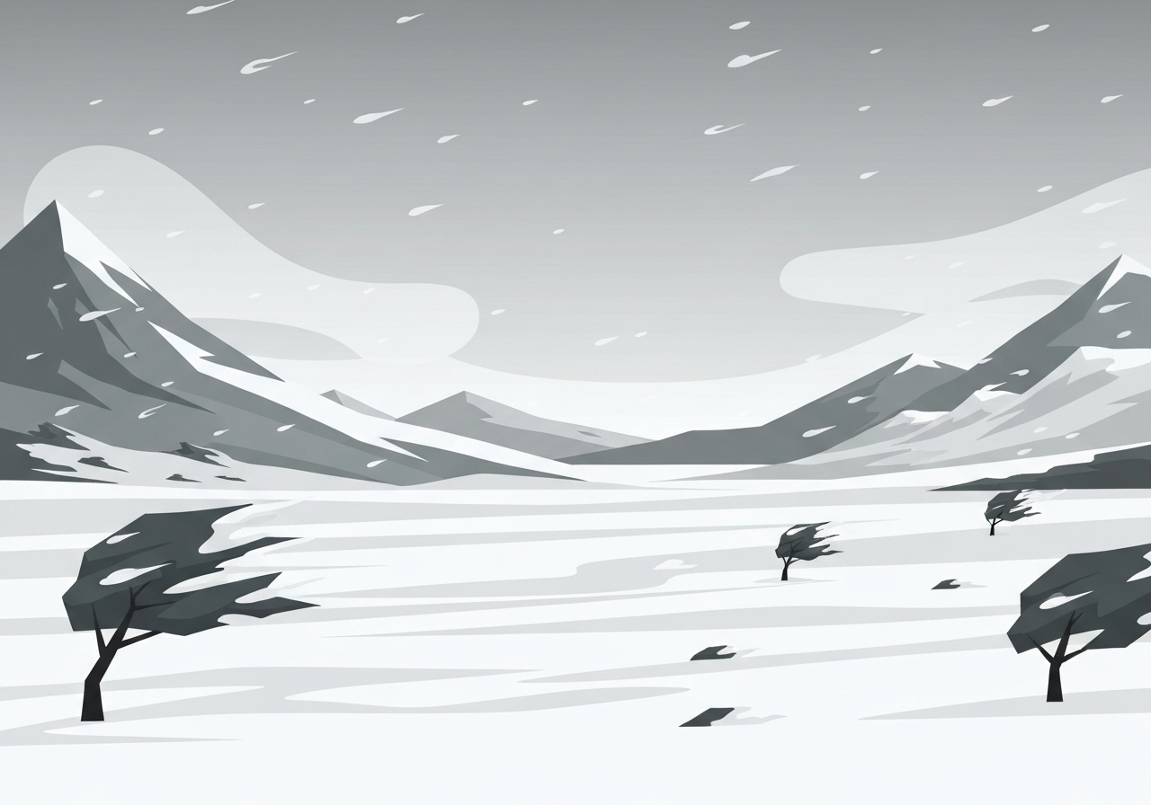
On Saturday a fast-moving winter storm swept across parts of the American West and Midwest, prompting alerts for roughly 19 million people and bringing heavy snow, strong winds and sharply colder temperatures to cities including Chicago. Snow showers were reported from Montana into the Dakotas in the morning, shifting east into Iowa and Minnesota by afternoon, with a quick burst moving into Illinois, Missouri and Wisconsin by night. Mountain zones are expected to see the highest accumulations, and forecasters warned of travel hazards as gusts topped 60 mph in some places. The system will push into the interior Northeast Sunday night before most precipitation tapers off by Monday morning.
Key Takeaways
- Approximately 19 million people were placed under winter alerts across parts of the West and Midwest on Saturday, with warnings spanning urban and mountain communities.
- Mountain areas in Wyoming, Utah, Montana and Colorado may receive 5–12 inches of new snow, with isolated totals up to 20 inches possible and reported 60 mph gusts affecting travel.
- Measured snowfall as of 2 p.m. included 10 inches at Mount Crested Butte, CO; 5.4 inches at Orogrande, ID; and 3.4 inches in West Valley, MT.
- Midwestern accumulations were forecast at 2–5 inches from the Dakotas through Lake Michigan, with Iowa possibly seeing 6–8 inches and interior Northeast largely a dusting to 1 inch.
- Temperatures ran 5–20 degrees below average across large swaths on Saturday; overnight lows dipped below zero in the northern Plains, and Sunday’s highs were expected 10–25 degrees below normal.
- A separate string of Pacific storms and an atmospheric river threaten heavy rain and flooding in Washington and Oregon, with 2–6 inches likely and up to 10 inches locally.
- Rain bearing down on the Southeast and Carolinas could total 0.5–2 inches, creating localized flash flood risk though no widespread severe weather was expected.
Background
Fast-moving late-autumn and early-winter storm systems are common when Pacific-sourced air collides with colder continental masses over the Plains and Midwest. This event combined a southern stream of moisture and a reinforcing cold pocket from the north, producing a compact but intense swath of snow and gusty winds across multiple time zones. Mountain ranges typically concentrate higher snowfall totals because of orographic lift; forecasters often warn that wind and elevation can sharply increase travel risk even where raw accumulation appears moderate.
Regional infrastructure and emergency services prepare for these patterns each season, but timing and intensity matter: an early-season cold snap can catch residents and municipalities before full winter readiness. The populations affected include major metropolitan centers such as Chicago and Seattle-area communities, as well as rural mountain corridors where road closures and avalanche concerns can arise. State and local transportation agencies routinely post live road-condition updates, and the National Weather Service issues watches and warnings to guide decisions on closures and travel advisories.
Main Event
Saturday morning saw scattered snow over the northern Plains and Rockies, from Montana into the Dakotas; that band pushed eastward, reaching Iowa and Minnesota by afternoon. By nightfall the main burst of wintry precipitation advanced into Illinois, Missouri and Wisconsin, bringing a sharp, short-duration impact to the Chicago area and surrounding counties. In-city streets filled with commuters bundled in layers as temperatures plunged and light-to-moderate snow persisted through overnight hours.
Mountain communities were hit hardest for totals: forecasters said portions of Wyoming, Utah, Montana and Colorado could pick up an additional 5 to 12 inches, with isolated pockets up to 20 inches. High winds, including gusts near 60 mph, were forecast to accompany the mountain snowfall, compounding travel difficulty and increasing the risk of whiteout conditions on passes and higher-elevation highways.
Measured totals reported by mid-afternoon included 10 inches at Mount Crested Butte, Colorado, 5.4 inches in Orogrande, Idaho, and 3.4 inches in West Valley, Montana — figures that underscore the variability by elevation and exposure. Video footage released by Utah’s Department of Transportation showed snow-covered roads in north-central Utah Friday evening, illustrating why officials urged drivers to defer nonessential travel and prepare for longer transit times where highways remain open.
Analysis & Implications
The storm’s quick pace limits prolonged disruption in most lowland areas but intensifies short-term impacts. Urban centers like Chicago faced commuter delays, transit slowdowns and increased demand for snow-clearing resources during peak travel hours. For road crews and municipal services, an early heavy snowfall strains budgets and manpower because equipment may not yet be rotated into full winter schedules.
In the mountains, the combination of heavy accumulation and strong winds elevates avalanche risk on slopes and increases the likelihood of road closures on critical corridors. Freight and tourism sectors that rely on mountain passes and ski-area access may see interrupted operations, and local businesses in affected towns can experience short-term loss of customers due to mobility limits.
Economically, the storm’s immediate costs will be localized: plowing, towing, delayed freight and potential property damage from wind-driven snow and downed trees. If the atmospheric river that follows brings high rain totals to the Pacific Northwest, communities there may face compounded impacts — inland flood risk, mudslides on burn scars and coastal flooding — that could strain interagency response over multiple days.
Comparison & Data
| Location | Reported/Forecast Snow | Notes |
|---|---|---|
| Mount Crested Butte, CO | 10 in (reported) | Measured as of 2 p.m. |
| Orogrande, ID | 5.4 in (reported) | Measured as of 2 p.m. |
| West Valley, MT | 3.4 in (reported) | Measured as of 2 p.m. |
| Midwest (Dakotas–Lake Michigan) | 2–5 in (forecast) | Chicago included in corridor |
| Iowa (interior) | 6–8 in (forecast) | Higher totals possible in localized bands |
| Mountain highs | 5–12 in (forecast), up to 20 in spots | Wind gusts ~60 mph; travel very difficult |
The table shows both reported observations from midafternoon and the broader forecast ranges. Local variability is significant: elevation and wind drift can drive differences of several inches over short distances. Forecasters emphasized that while lowland totals were modest compared with mountain accumulations, travel impacts could still be substantial during the storm’s overnight pulse.
Reactions & Quotes
Local residents described surprise and rapid adjustment as the storm arrived early in the season. Those observations reflect how an early heavy snowfall can alter behavior and preparedness ahead of traditionally colder months.
“This much snow so early makes us brace for a tough season,”
Catherine Karwowski, Chicago resident (local resident comment)
Newcomers to northern winters noted the learning curve for cold-weather gear and routines.
“I just got my big coat today — moving from Texas means everything feels new,”
Katie Jones, recent Illinois arrival (local resident comment)
Visitors seeing sustained snow for the first time commented on the novelty despite the inconvenience.
“Everything covered in white is new and beautiful, even if it’s a challenge,”
Brielle Trostley, visiting from Florida (visitor comment)
Unconfirmed
- Any specific duration of road closures on mountain passes remains fluid and dependent on evolving conditions and clearance operations.
- Localized 20-inch mountain totals are possible in some forecasts, but the exact locations and extent of such pockets are subject to change as models are updated.
Bottom Line
A compact but potent winter system delivered an early-season punch across the West and Midwest, producing mountain-heavy snowfall, strong winds and a notable chill that placed about 19 million people under alerts. Lowland impacts — while generally lighter than mountain totals — still created travel disruptions in urban corridors like Chicago during peak periods, and officials urged caution for overnight travel.
Looking ahead, the Pacific Northwest faces a separate multi-day rainfall threat from an atmospheric river with flood potential, meaning emergency managers will need to balance snow response in inland zones with flood mitigation along the coast and river basins. Residents in all affected regions should monitor local National Weather Service updates and official transportation advisories before traveling.
Sources
- NBC News — News report covering event and local interviews (news)
- National Weather Service — Official forecasts and warnings (official)
- NOAA — Federal weather agency guidance on storms and atmospheric rivers (official)
- Utah Department of Transportation — Road-condition imagery and advisories (state transportation agency)