
Lead
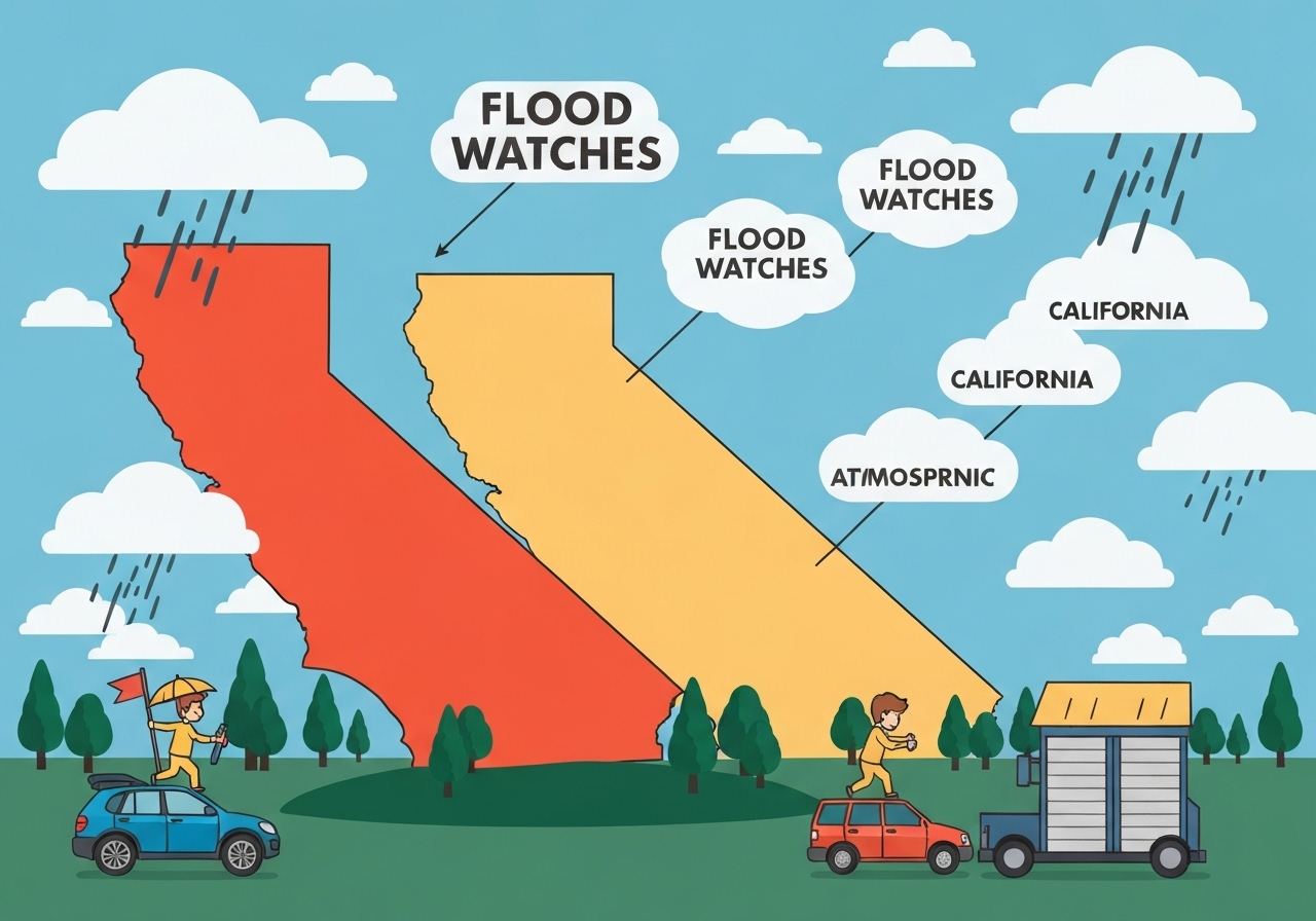
Emergency services and weather agencies have extended flood watches across northern and central California through Friday as a string of atmospheric rivers moves ashore. Heavy rain—already 50–75 mm (2–3 in) in parts of northern California this weekend—is expected to continue, with mountain snow piling up in the Sierra Nevada. Forecasts call for widespread cumulative totals above 50 mm (2 in) by Boxing Day and locally much higher amounts, raising risks for river and urban flooding, mudslides and hazardous travel. Yosemite National Park faces a winter-storm warning with 1.8–2.4 m (6–8 ft) of snow possible by Boxing Day, threatening closures on key routes.
Key takeaways
- Flood watches have been posted across northern and central California and remain in effect through Friday, covering a broad swathe of the state.
- Northern California recorded 50–75 mm (2–3 in) of rain over the weekend; cumulative totals could exceed 50 mm statewide by Boxing Day, with 200–300 mm (8–12 in) possible in the north‑west corner and western slopes of the northern Sierra.
- Los Angeles is forecast to receive roughly 100–150 mm (4–6 in) between Christmas Eve and Christmas Day, potentially making it one of the wettest Christmas periods on record for the city.
- Riverine and urban flooding are likely in low‑lying and runoff‑prone areas, and mountain and foothill zones face elevated mudslide and rockslide threats.
- Yosemite and surrounding high country are under winter storm warnings with 1.8–2.4 m (6–8 ft) of snow accumulation possible by Boxing Day, plus strong winds that will complicate travel.
- Separate weather hazards are unfolding internationally: Zimbabwe issued a level 2 warning for heavy rain, hail and lightning for 21–24 December, while Australia will see dramatic temperature swings around Christmas.
Background
Atmospheric rivers—long, narrow corridors of concentrated moisture—regularly supply California with large fractions of its seasonal precipitation. When these features stall or arrive in rapid succession they can deliver intense rain and heavy mountain snow, quickly stressing rivers, reservoirs and drainage systems. In recent weeks the Pacific north‑west has already endured prolonged heavy rainfall and damaging floods, and that earlier swelling of waterways increases vulnerability as the next series of systems arrives.
California’s geography amplifies impacts: coastal and urban basins channel runoff into rivers and storm drains, while western‑facing slopes of the northern Sierra focus orographic lift and enhance precipitation totals. Human factors—development in floodplains, aging stormwater infrastructure, and burn scars from previous wildfires—raise the potential for debris flows and rapid runoff in foothill and mountain corridors. Emergency managers typically issue a mix of watches and warnings to communicate evolving risk levels and to prompt preemptive measures ahead of peak flows.
Main event
Forecasters report that the current sequence of atmospheric rivers will deliver repeated periods of heavy rain across northern and central California through Friday. Observations this weekend already show 50–75 mm (2–3 in) in parts of the north; models project much higher localized totals, particularly where storms repeatedly tap Pacific moisture streams. Flood watches have been expanded to cover lowlands, river corridors and urban basins likely to see rapid runoff.
In north‑western California and on western exposures of the northern Sierra Nevada, expected cumulative rainfall of 200–300 mm (8–12 in) by Boxing Day could push creeks and rivers toward flood stage. Where burn scars exist, such as slopes affected by recent wildfires, soils may not absorb water readily and therefore mudslides or debris flows are a heightened concern. Coastal fog and strong onshore winds are already reported in the Bay Area, complicating local conditions and visibility.
Southern California is not immune: forecasts indicate Los Angeles could receive 100–150 mm (4–6 in) between Christmas Eve and Christmas Day. For a region that normally records less winter precipitation, that volume could produce significant urban and river flooding in susceptible neighborhoods. Meanwhile, Yosemite National Park and nearby corridors are under winter‑storm warnings with models indicating 1.8–2.4 m (6–8 ft) of snow accumulation by Boxing Day, making many routes and passes hazardous or impassable.
Analysis & implications
The immediate operational priority for state and local agencies is flood preparedness—clearing drains, pre‑positioning pumps and sandbags, and coordinating evacuation routes where necessary. Reservoir operators face difficult trade‑offs: they must balance flood control space with water‑supply storage needs, and rapid inflows can force controlled releases that affect downstream communities. Policymakers may face scrutiny if predictable flood pathways are overwhelmed due to development in flood plains or deferred infrastructure upgrades.
Transportation and holiday travel are likely to be disrupted. Heavy rain and strong winds reduce visibility and traction on roads, while heavy mountain snow can close passes and delay commercial and passenger traffic. For tourism‑dependent areas such as Yosemite, the combination of heavy snow and wind may curtail visitor access during a peak holiday window, with consequential economic impacts for local businesses and services.
On a broader scale, the event underlines challenges associated with a warming atmosphere: warmer air holds more moisture and can make atmospheric rivers more intense, increasing the probability of extreme precipitation events. That trend complicates long‑term planning for floodplain management, wildfire recovery, and infrastructure resilience, requiring updated risk assessments and potentially accelerated adaptation measures.
Comparison & data
| Region | Recent/Forecast precipitation | Notes |
|---|---|---|
| Northern CA (weekend) | 50–75 mm (2–3 in) | Observed across parts of northern California |
| North‑west CA / W slopes, N Sierra | 200–300 mm (8–12 in) cumulative possible | Locally very high totals by Boxing Day |
| Los Angeles (24–25 Dec) | 100–150 mm (4–6 in) | Could be among wettest Christmases on record |
| Yosemite | 1.8–2.4 m (6–8 ft) snow | Winter‑storm warnings; travel very difficult |
The table above summarizes forecast ranges for the current event. Those totals are model‑dependent and will vary with storm tracks, elevation and duration. Emergency managers use these ranges to set watch and warning thresholds, but localized intensification—especially where atmospheric rivers stall or converge—can produce higher, short‑duration peaks that challenge drainage systems. Comparing these ranges to average seasonal totals highlights how concentrated water delivery during atmospheric‑river events can cause outsized impacts over short timescales.
Reactions & quotes
State and local officials have urged residents to monitor forecasts and prepare for flooding and travel disruptions. Authorities emphasize caution in flood‑prone neighborhoods and near rivers.
“Flood watches are in effect across large parts of northern and central California through Friday; residents should assume conditions can change rapidly and follow local guidance,”
National Weather Service (official advisory)
Emergency-management leaders note the compound risk posed by saturated basins from earlier storms paired with incoming rainfall. They are coordinating with utility and transportation agencies to prioritize public safety.
“We are preparing crews for road closures and rapid response to localized flooding and landslides, particularly in foothill communities and burn‑scar areas,”
State/local emergency management official
Internationally, meteorological services have also been active: Zimbabwe issued a level 2 warning for heavy rain, hail and lightning for 21–24 December, while Australia’s bureau flagged wide temperature swings over the holiday period. Forecasters there warn of heat in Perth and a sharp cool‑down in Sydney before Christmas.
“A level 2 warning means heavy rain, lightning and strong winds are likely; some locations could record over 50 mm in 24 hours,”
Meteorological Services Department (Zimbabwe)
Unconfirmed
- Specific river crest predictions for individual rivers downstream of the northern Sierra remain model‑dependent and were not yet available at the time of publication.
- Exact timing and location of potential mudslides in burn‑scar areas are uncertain until intense rain begins; local microtopography will be decisive.
- Whether Los Angeles will record one of its wettest Christmases on record depends on how the forecasted 100–150 mm is distributed within the 24–48 hour window and on localized drainage performance.
Bottom line
Residents across northern and central California should treat flood watches seriously: significant rain and mountain snow are likely to persist through Friday, with locally extreme totals possible in the north‑west corner and on western Sierra slopes. Low‑lying urban areas, river corridors and foothill communities remain at elevated risk for flooding, mudslides and travel disruptions during the holiday period. Yosemite and other high‑elevation destinations should expect deep snow and difficult conditions; travelers should confirm road status before departure and heed closure orders.
Because the situation is dynamic and model‑sensitive, regular updates from official weather services and local emergency managers are essential. Authorities will continue to adjust watches and warnings as new observations and model runs refine the picture; residents should follow trusted official channels for the latest instructions and preparedness guidance.
Sources
- The Guardian — (news outlet)
- National Weather Service — (official U.S. federal weather service)
- California Department of Water Resources — (state agency)
- Yosemite National Park — (federal park service, official)
- Bureau of Meteorology — (Australia, official)