
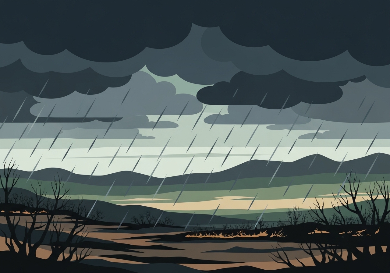
Southern California faces a wet, potentially dangerous storm this week as an atmospheric river moves over the region, bringing heavy rainfall and a heightened flash-flood threat for communities near recent wildfire burn scars. Authorities issued an evacuation warning for the Palisades Fire burn scar effective 11 a.m. Tuesday amid concerns about mudslides and debris flows; road closures and local evacuations are possible. Local governments, universities and emergency crews have deployed barriers, sandbags and extra personnel to reduce immediate risks and prepare for water rescues. Residents from Malibu to Pacific Palisades are bracing for disruption to travel and holiday plans as crews try to limit erosion and slope failures.
Key takeaways
- The evacuation warning for the Palisades Fire burn scar takes effect at 11 a.m. Tuesday due to the danger of mudslides and debris flows.
- NOAA meteorologists flagged a higher-than-normal risk of debris flows in areas recently burned by wildfire, calling out the potential for multiple localized mudslides.
- Pepperdine University has staged roughly 1,000 sandbag materials on campus (about 500 sand and 500 gravel) and inspected drains to protect students and facilities.
- City crews have left about 13,000 feet of k-rails in Pacific Palisades, deployed sandbags around vulnerable spots, and LAFD has increased staffing for possible water rescues.
- Officials recommend residents sign up for emergency alerts at notifyla.org; sandbags are being made available at every Los Angeles fire station.
- Main arteries including portions of the Pacific Coast Highway (PCH) are at risk for closures; residents report altering holiday travel plans because of the forecast.
Background
Atmospheric rivers are narrow corridors of concentrated moisture that can deliver intense rainfall when they make landfall in California. When such events overlap with recently burned slopes, the loss of vegetation and changes to soil structure greatly increase runoff speed and volume, raising the odds of debris flows and flash floods. The Palisades Fire left exposed hillsides across Pacific Palisades and adjacent Malibu canyons, creating the specific conditions emergency managers fear most for fast-moving mudslides.
Local government agencies, first responders and institutions such as Pepperdine have been coordinating preventive measures after forecasts showed heavy precipitation arriving Tuesday. Past events — notably the debris flows that followed the 2018 and 2019 wildfires in Southern California — inform this response: officials now move earlier to stage barriers, clear drains, and broadcast evacuation guidance to reduce casualties and property loss. Stakeholders include city emergency operations, the Los Angeles Fire Department (LAFD), the National Oceanic and Atmospheric Administration (NOAA), campus safety teams, and neighborhood organizations that help communicate risk to residents.
Main event
Officials issued a timed evacuation warning for the Palisades Fire burn scar effective 11 a.m. Tuesday, citing the combination of forecasted heavy rain and unstable slopes. In the hours before the warning took effect, crews installed and reinforced tarps, k-rails and other temporary barriers on vulnerable hillsides, while sandbags were placed near known low points and storm drains. Los Angeles Mayor Karen Bass mobilized additional city resources, and the LAFD announced increased staffing to respond to potential water rescues or road incidents.
Pepperdine University staff reported staging nearly 1,000 sandbag materials — roughly split between sand and gravel — and said crews inspected and cleared drains on campus as a precaution despite holiday schedules and most classes being off. In Malibu and surrounding communities, homeowners have been securing loose soil and personal property; some described plans to stay home if roads become impassable. Local road crews warned that PCH and several canyon routes are the most likely locations for temporary closures due to runoff or debris.
Residents and officials also noted visible physical preparations across the landscape: tarps covering exposed soil, k-rails lining key stretches of roadway, and contract crews working to shore up slopes ahead of the heaviest rainfall. Emergency alerting channels have been emphasized; officials urged people in flagged zones to have evacuation plans ready and to avoid driving through flooded roadways. The combination of holiday travel and variable staffing on municipal crews adds urgency to early precautions and clear public guidance.
Analysis & implications
Hydrologically, burn scars behave like nearly impermeable surfaces when exposed to intense rain. Without root systems and leaf litter to slow water, runoff concentrates quickly into channels and drainage lines, turning modest rainfall into rapid, destructive flows. That means even short-duration heavy bursts can trigger debris flows capable of scouring slopes and carrying boulders, trees and household debris into neighborhoods and roadways.
From an emergency management perspective, early staging of physical defenses (sandbags, k-rails, tarps) and surge staffing for rescue units reduces immediate risk but does not eliminate it: debris flows are inherently localized and fast-moving, which makes precise prediction and targeted evacuation planning difficult. Authorities must balance resource deployment across multiple at-risk canyons while keeping public messaging simple enough that residents understand when and how to act.
Economically and socially, the timing around a major holiday raises stakes: disrupted travel, short-term business closures and emergency operations impose costs on households and municipalities. Schools and universities that remain lightly staffed face logistics for protecting campus facilities and ensuring student safety. If road closures affect PCH or key arterials, supply and emergency-service routes could be impeded, compounding response challenges.
Comparison & data
| Item | Quantity / Timing |
|---|---|
| Evacuation warning (Palisades burn scar) | Effective 11 a.m. Tuesday |
| K-rails staged (Pacific Palisades) | ~13,000 feet |
| Pepperdine sandbag materials | ~1,000 total (≈500 sand / 500 gravel) |
| Sandbag distribution | Available at every LA fire station |
The table highlights concrete, verifiable preparatory measures reported before the storm arrives. These quantities provide a snapshot of physical readiness but do not directly translate into prevented damage — outcome depends on rainfall intensity, storm tracks, and how quickly debris flows form. Emergency managers use these baseline measures to prioritize the most at-risk neighborhoods for evacuation and to plan search-and-rescue staging.
Reactions & quotes
Emergency meteorologists emphasized the specific danger posed by burn scars to fast-moving debris flows and urged heightened vigilance among residents living below recently burned slopes. Forecasters and local officials have been coordinating to issue targeted warnings and to advise on evacuation timing.
“The potential is definitely there for a couple of mudslides, debris flows, particularly in areas that have seen wildfires in recent history.”
Kyle Wheeler, NOAA meteorologist
University and city officials described the practical steps they were taking to reduce risk to people and property, noting the unusual timing during holiday schedules.
Campus teams have staged sandbag materials and inspected drains to limit slide risk and keep access routes clear.
Sergia Pena, Pepperdine University (campus safety)
Residents conveyed concern about travel and localized impacts; some said they would alter holiday plans if key roads closed, underscoring the everyday consequences of the forecast for families and businesses.
“If the roads close, we’re probably staying home — some local businesses may see cancellations and closures.”
Teresa Legrove, Malibu resident
Unconfirmed
- Exact localized rainfall totals at specific canyons are not yet verified; official rainfall accumulation forecasts vary by model and will be finalized closer to the storm.
- The full scope and timing of any PCH or canyon road closures remain dependent on real-time conditions and have not been uniformly scheduled across affected jurisdictions.
- There is no confirmed estimate yet for the number of homes that may require evacuation beyond the Palisades burn-scar warning area.
Bottom line
The approaching atmospheric river presents a clear, elevated threat to Southern California, especially where recent wildfires have left slopes exposed. Officials have issued a timed evacuation warning for the Palisades Fire burn scar and staged physical protections — measures that reduce but do not eliminate the risk of rapid debris flows and localized flooding. Residents in flagged zones should prepare to move quickly, sign up for local emergency alerts, and avoid driving through standing water or active runoff.
In the coming 24–48 hours, the situation will hinge on where the heaviest bands of rain set up and how quickly runoff concentrates in steep canyons. For the public, the practical steps are straightforward: monitor official channels, follow evacuation guidance promptly, and treat blocked or flooded roads as impassable. Emergency managers will continue to adjust resource deployment as the storm unfolds; community awareness and early action remain the best defenses against fast-moving debris flows.
Sources
- ABC7 Los Angeles (local news report)
- NOAA / National Weather Service (federal weather agency guidance)
- City of Los Angeles NotifyLA (official emergency alert sign-up)