
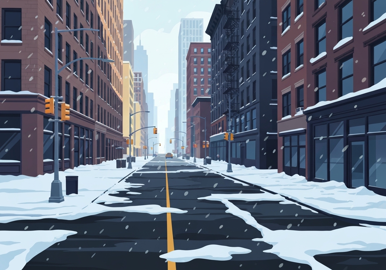
Lead: A powerful winter storm that struck the Tri-State area concluded Saturday, leaving the heaviest snowfall north and east of New York City and prompting cleanup across towns and suburbs. With accumulating snow and lingering wet surfaces, temperatures are expected to remain below freezing into early Sunday, raising the prospect of widespread black ice. Officials urged caution for drivers and pedestrians as the region transitions from active snowfall to icy travel conditions. Forecasts also show a cold Sunday with a chance of freezing rain Sunday evening, followed by a brief warmup on Monday before temperatures fall again.
Key Takeaways
- Storm ended Saturday after delivering the most significant regional snow in nearly four years, with Central Park recording 4.3 inches — the most since Jan. 28–29, 2022 (over 8 inches then).
- Highest measured totals were in Connecticut: New Fairfield 9.1 inches, Bridgeport 7.1 inches, Fairfield 7 inches, Newtown 6 inches.
- Long Island locations saw more than half a foot in spots: Babylon and Orient 7.5 inches, Mattituck 7.0 inches, Islip 6.6 inches.
- Hudson Valley reported notable amounts: Lake Carmel 6.5 inches, Armonk 6.4 inches, Peekskill 6.1 inches, Port Chester 5.9 inches.
- Sleet and ice reduced accumulations in parts of New Jersey and New York City; sample totals included Fordham (Bronx) 4.3 inches, LaGuardia and JFK airports 4.1 inches, Newark 2.5 inches.
- National Weather Service issued a special statement Saturday afternoon warning of black ice and advising reduced speeds and extra travel time through midday Sunday.
- Meteorologists described the system as an energized Alberta Clipper — a fast-moving low amplified by Pacific moisture — producing brief, intense snowfall bands across the region.
Background
The system that struck the Tri-State was an Alberta Clipper, a compact storm that typically moves quickly from western Canada across the continent. In this instance, the clipper tapped additional moisture tied to Pacific storms — sometimes characterized as an atmospheric river on the West Coast — which allowed it to produce heavier, more concentrated snowfall than a typical clipper. That interaction caused sharp gradients in totals: relatively modest accumulations in some urban and coastal spots, with substantially higher totals inland and along favorable snow bands.
Winter weather patterns this season have included periods of mild and cold exchange; however, the last comparable regional snow of this scale occurred Jan. 28–29, 2022, when Central Park received over 8 inches. Local infrastructure and transportation agencies activated plows and salt crews Friday night and into Saturday as the worst of the event moved through. The National Weather Service and local emergency managers issued advisories and warnings timed to slipping temperatures that can create hazardous icing after precipitation changes to sleet or freezing rain.
Main Event
The heaviest snow fell Friday evening into early Saturday, then tapered to light flurries by Saturday dawn across much of the metropolitan area. Northern and eastern suburbs — sections of Connecticut, Long Island, and the Hudson Valley — saw the most significant accumulations, with multiple stations reporting 6–9 inches. In contrast, sleet and occasional mixing with rain reduced totals farther south and west; New Jersey locations generally recorded lower amounts, with Newark logging about 2.5 inches.
Road crews prioritized arterial routes and key highways overnight, but local officials warned that melting snow, slush and standing water would freeze as temperatures dropped. The National Weather Service issued a targeted message late Saturday highlighting the immediate risk of black ice and urging motorists and pedestrians to exercise extra caution from Saturday evening through midday Sunday. Transit agencies reported mainly minor delays Saturday morning as crews continued clearing streets and platforms.
Airport reports showed modest snow totals at major terminals — LaGuardia and JFK each at 4.1 inches — and flight operations were slowed early in the storm before returning toward normal Saturday afternoon. Power outages were limited and largely isolated; utility crews remained on alert for any weather-related failures overnight as cold temperatures increase demand and complicate restoration work. Local schools and municipal services began assessing damage and scheduling pickup of plowed snow and debris for the coming days.
Analysis & Implications
Short-term, the immediate public-safety concern is black ice. When liquid water or slush freezes on treated and untreated surfaces, traction drops dramatically — a problem across bridges, shaded roadways and less-traveled side streets. The National Weather Service’s advisory focused on behavior that reduces risk: lower speeds, added following distance and contingency time for travel plans. Agencies typically track incidents and adjust warnings; emergency dispatch centers expect a spike in slips, trips and vehicle spinouts during the first few hours of the overnight freeze.
Economically, disruptions are likely to be modest but not negligible. Commuter delays, school schedule changes and slower deliveries can ripple through business operations, especially for time-sensitive logistics in urban supply chains. Municipal budgets absorb overtime for snow-removal crews and additional salt; extended periods of below-freezing temperatures raise the cost of maintaining clear roads and safe pedestrian routes. However, because the heaviest snow was concentrated away from the densest urban cores, major infrastructure impacts were limited compared with a heavier coastal nor’easter.
Looking ahead, the forecast outlook indicates a temporary warm surge on Monday before temperatures fall again for the remainder of the week. That brief warmup could melt some snow cover, then the subsequent plunge raises the risk of refreezing and additional travel hazards later in the week. Forecasters also highlight the possibility of freezing rain Sunday evening, particularly north and west of New York City, which would create another window of hazardous travel if verified by later observations.
Comparison & Data
| Location | Reported Snow (in) |
|---|---|
| New Fairfield, CT | 9.1 |
| Bridgeport, CT | 7.1 |
| Babylon, NY (Long Island) | 7.5 |
| Lake Carmel, NY (Hudson Valley) | 6.5 |
| Central Park, NYC | 4.3 |
| Newark, NJ | 2.5 |
The table highlights the sharp local contrasts: some inland Connecticut towns received roughly three to four times the snowfall measured in parts of New Jersey and New York City. That pattern is consistent with a fast-moving clipper enhanced by additional moisture, producing narrow bands of intensified snowfall. Planners use these site-by-site reports to deploy resources where accumulations and drifting create the greatest hazard. Officials will continue to reconcile automated gauge data and spotter reports over the next 24–48 hours to finalize official totals.
Reactions & Quotes
Local and federal weather authorities emphasized public safety as temperatures fell Saturday. Below are succinct attributions with context.
“Motorists and pedestrians should use caution. Reduce speed, allow extra time, and be prepared for areas of slippery travel Saturday evening through midday Sunday.”
National Weather Service — special statement
The NWS statement was issued Saturday afternoon to underscore the immediate danger of black ice as wet surfaces freeze. Emergency managers used that guidance to advise road-users and extend some travel advisories.
“An Alberta Clipper on steroids”
Jeff Smith — meteorologist (local forecast)
Meteorologist Jeff Smith used the phrase to describe how a usually compact clipper produced unusually heavy, concentrated snowfall after ingesting Pacific moisture. Forecasters said that dynamic setup explains the sudden burst of snow in certain corridors.
Unconfirmed
- Minor adjustments to snowfall totals remain possible as additional spotter reports and gauge calibrations are processed over the next 48 hours.
- Forecast models suggest freezing rain Sunday evening in some inland areas; precise timing and coverage remain uncertain until short‑range observations update later Sunday.
Bottom Line
The immediate hazard following the storm is not fresh accumulation but the rapid freeze of slush, puddles and treated surfaces — conditions that produce black ice and can cause disproportionate numbers of traffic incidents. Travelers should assume slick patches on bridges, shaded roads and sidewalks overnight and through midday Sunday, and allow extra time or delay nonessential travel where possible. Municipal crews will continue clearing and treating priority routes, but residual slippery conditions could persist into Sunday afternoon in colder pockets.
Over the week ahead, a brief Monday warmup may reduce some snow cover before colder air returns and raises the potential for refreezing. Residents and businesses should stay attentive to updated advisories from the National Weather Service and local officials, particularly if freezing rain forecasts materialize Sunday evening. For the most current travel guidance and forecasts, consult official NWS products and your local transportation agency.