
Lead
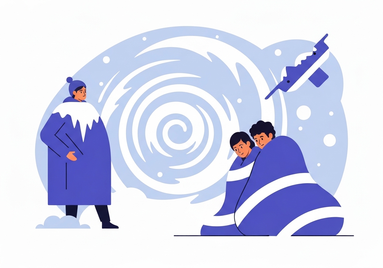
Cook County will be under an Extreme Cold Warning beginning at 3 a.m. and continuing until noon on Friday as a deep Arctic air mass moves into the Chicago area. Forecasts call for daytime temperatures that remain dangerously low, with morning readings near -7°F and wind chills plunging toward -30°F to -40°F. Officials warn that exposed skin can develop frostbite in as little as 10 minutes and are advising residents to limit outdoor exposure. Transit agencies and some schools have already announced service cutbacks and closures in response.
Key Takeaways
- The National Weather Service upgraded conditions to an Extreme Cold Warning effective 3 a.m. to noon Friday for the Chicago area, with hazardous cold expected to continue beyond the formal warning period.
- Thursday’s forecast calls for gusty winds and a daytime high near 20°F, falling to about 5°F by midnight; Friday morning lows near -7°F are expected.
- Wind chill values are projected to reach between -30°F and -40°F through Friday, creating a risk of frostbite within roughly 10 minutes on exposed skin.
- Some school districts have announced closures for Friday; commuters should check local listings for full updates.
- Metra will run a reduced schedule on all lines Friday; the South Shore Line will operate on a weekend/holiday schedule.
- A separate storm system moving across the southern and northeastern U.S. Saturday into Sunday may bring snow to Chicago’s southern suburbs and Northwest Indiana, with potential lake-effect snow Monday morning.
- Saturday and Saturday night have been flagged as particularly hazardous for travel as the weekend storm arrives.
Background
Polar plunges into the Midwest occur when Arctic air masses surge southward through weather pattern changes, often producing abrupt and sustained temperature drops across the region. The National Weather Service issues watches and warnings to signal escalating risk levels; an Extreme Cold Watch can be upgraded to a Warning when confidence and forecast severity increase. Local emergency managers, school districts and transit authorities typically respond by opening warming centers, adjusting schedules and announcing closures to reduce public exposure.
Chicago-area infrastructure routinely faces stress during severe cold events: pipes can freeze, transit equipment may require special handling and road-surface conditions can deteriorate rapidly when wind-driven snow or ice accompany the cold. Vulnerable populations—seniors, people experiencing homelessness and those without reliable heating—are at elevated risk, which is why municipalities often activate social-service responses during multi-day cold outbreaks.
Main Event
Forecast models indicate gusty southerly winds Thursday, with a high near 20°F before the cold air arrives. By midnight Thursday the mercury is expected to fall to around 5°F as the Arctic front crosses the region. Early Friday temperatures are forecast near -7°F, and sustained winds will produce extreme wind chill values between -30°F and -40°F during the day.
Those wind chill estimates translate to a rapid frostbite hazard: medical guidance cited in forecasts indicates exposed skin can freeze in about 10 minutes under those conditions. In anticipation, several school districts announced closures for Friday; local officials encouraged families to verify individual district notices for a full list. Transit agencies also adjusted operations—Metra confirmed a reduced schedule across all lines, and the South Shore Line is set to follow a weekend/holiday timetable Friday.
City and county representatives have publicized warming centers across Chicago and the suburbs to provide short-term shelter for people without safe heating, and residents were urged to check official listings for locations and hours. Forecasts also note that a separate storm system tracking across the southern and northeastern U.S. Saturday into Sunday could deposit snow in the southern suburbs of Chicago and Northwest Indiana, and that lake-effect snow is possible Monday morning depending on storm track and wind direction.
Analysis & Implications
Public-health impacts during extreme cold events are immediate and measurable: hospitals and clinics typically see an uptick in cold-related injuries, including frostbite and hypothermia, especially among individuals exposed for prolonged periods. Emergency medical services and shelters may experience greater demand, and municipalities must balance resource deployment between warming centers, outreach to at-risk populations and infrastructure repairs such as water-main breaks.
Transit disruptions have both commuter and economic consequences. A reduced Metra schedule and weekend-style South Shore Line service lower overall capacity and can extend travel times for essential workers and shift employees. Employers and institutions that rely on predictable transit should plan for staffing shortfalls and delayed shipments Friday and possibly into the weekend if road conditions deteriorate.
Energy systems also face stress during abrupt temperature drops; heating demand spikes can strain local gas and electric distribution. Utilities often prepare by coordinating crews and issuing conservation notices to prevent outages, but prolonged cold combined with equipment failures can still produce localized service interruptions. Households without sufficient insulation or heating backup are especially vulnerable to both health and property risks.
Comparison & Data
| Period | Forecast Temp / Wind Chill |
|---|---|
| Thursday (day) | High near 20°F |
| Thursday (midnight) | ~5°F |
| Friday (morning) | ~-7°F (wind chills -30°F to -40°F) |
The table highlights the rapid drop from above-freezing daytime readings to well-below-zero conditions within roughly 24 hours. Rapid temperature swings like this elevate mechanical stress on infrastructure and increase the likelihood of short-term service interruptions for transit and utilities. Travelers should expect slower road conditions, and municipalities may prioritize clearing critical arteries over secondary streets if the weekend storm adds snow to the mix.
Reactions & Quotes
Local broadcasters and meteorologists emphasized the health risk and urged residents to limit outdoor exposure and check on vulnerable neighbors.
“Dangerously cold conditions will persist through Friday; minimize time outdoors and follow local shelter guidance.”
ABC7 meteorologists (local TV news)
Transit officials framed schedule changes as safety-driven decisions intended to maintain system reliability during extreme temperatures.
“Metra will operate a reduced schedule Friday to ensure safe operations for passengers and crews.”
Metra (regional transit agency)
Unconfirmed
- The precise snowfall amounts and exact timing of the Saturday–Sunday storm track remain uncertain pending model updates; impacts could range from light snow to locally heavier accumulations in southern suburbs and Northwest Indiana.
- The complete list of school district closures is fluid; some districts may announce additional closures or reopenings as conditions evolve.
- Potential localized utility outages or transport cancellations beyond Friday morning are possible but not yet verified by utility operators or transit agencies.
Bottom Line
Residents of Cook County should treat the Friday Extreme Cold Warning seriously: subzero morning temperatures combined with wind chill values down to -40°F create immediate risk for frostbite and hypothermia. Limit outdoor activity, ensure heating systems are functioning, check on neighbors who may be vulnerable and consult official local resources for warming-center locations and transit updates.
Travelers should expect reduced public transit service Friday and the potential for hazardous road conditions Saturday night if the weekend storm tracks as forecast. Monitor trusted official channels—local emergency management, transit agencies and the National Weather Service—for real-time updates as the situation evolves.
Sources
- ABC7 Chicago / WLS-TV (local TV news report)
- Metra (regional transit agency official site; schedule advisories)
- National Weather Service Chicago (LOT) (official weather warnings and guidance)