
The approaching arctic cold front is expected to arrive in South Texas late Friday into early Saturday, bringing a transition from mild, above‑freezing conditions to pockets of freezing rain, sleet and subfreezing temperatures across San Antonio and the Hill Country through Sunday. Rain should remain liquid over much of Saturday in the southern reaches, but a changeover to freezing precipitation is likely late Saturday evening into Sunday morning in central counties. The Panhandle and parts of North and West Texas are forecast to see significant snow accumulations, while South Texas faces its primary hazard in the form of sleet and freezing rain that could make roadways hazardous.
Key Takeaways
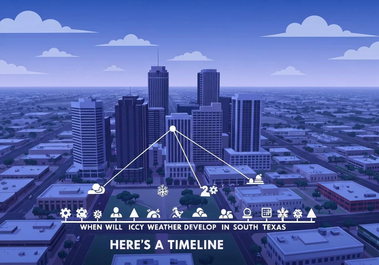
- The arctic front is forecast to push into Texas Friday night, reaching San Antonio overnight into early Saturday (Jan 23–24, 2026 timeframe).
- Thursday will be warm across the region with San Antonio highs near 73°F and morning lows in the low–mid 50s; patchy dense fog possible 5–9 a.m.
- Friday remains mild with morning temps in the upper 50s and afternoon highs upper 60s to low 70s; light rain showers possible.
- Saturday morning in San Antonio: low 40s by 7 a.m., cooling to mid–to–upper 30s by late afternoon; scattered rain likely while temps remain just above freezing.
- Freezing rain and sleet risk increases Saturday afternoon into Saturday night in the Hill Country and central counties; Austin could see freezing rain by early Saturday afternoon.
- San Antonio temperatures are expected to drop below freezing after about 7–8 p.m. Saturday, with on‑and‑off freezing rain/sleet overnight into early Sunday.
- Sunday morning lows: San Antonio near the low 20s (wind chills near 10°F or colder); Fredericksburg and Kerrville around 10°F (feels like near 0°F).
- By Sunday late morning precipitation should exit and some sunshine may return in South Texas; Monday morning remains cold (upper teens to low 20s) with afternoon recovery to low–mid 40s.
Background
Late‑January arctic intrusions into the southern Plains are periodic but can produce a wide range of impacts across Texas depending on timing, moisture and front strength. This event follows the climatological pattern in which a strong polar air mass pushes south behind a cold front, producing heavy snow in the Panhandle and freezing rain farther south where surface temperatures remain near 32°F. Reduced winter‑storm frequency in South Texas means even modest freezing rain can create disproportionate travel and infrastructure impacts.
Local authorities and the National Weather Service (NWS) monitor the evolution closely because small shifts in the frontal timing determine whether precipitation falls as rain, freezing rain or snow at any specific location. Stakeholders include city and county transportation offices in Bexar and surrounding counties, school districts that evaluate morning conditions, and emergency management agencies preparing for road treatment and potential power‑system stress during the coldest hours.
Main Event
Thursday will feel mild before the front arrives: morning lows generally in the low to mid‑50s, then clearing skies allow highs to climb—San Antonio near 73°F, about 10°F above average for late January. Patchy dense fog may affect early commuters between 5 and 9 a.m. as moisture and mild air precede the incoming front.
Friday keeps the mild pattern with upper‑50s in the morning and highs in the upper 60s to low 70s. A few light showers are possible, but overall precipitation amounts should remain modest ahead of the front. The arctic boundary is expected to move through North and Central Texas Friday morning and afternoon, reaching San Antonio overnight into early Saturday.
Saturday morning begins cooler: San Antonio around the low 40s by 7 a.m., dipping into the upper 30s and mid‑30s by late afternoon. Scattered rain is likely while surface temperatures in the southern counties remain marginally above freezing. Farther north in the Hill Country, temperatures should cross below 32°F earlier, allowing freezing rain and sleet to develop—Austin could be susceptible to freezing rain beginning in the early afternoon.
Saturday night is the highest‑impact window for South and Central Texas. Once San Antonio falls below freezing after about 7–8 p.m., any ongoing rain may transition to light freezing rain and sleet. Intermittent icing is possible overnight into early Sunday; bridges and overpasses will be especially vulnerable to slick conditions. Residents traveling late Saturday and early Sunday should anticipate very slick roads in untreated areas.
Analysis & Implications
This event highlights the gradient of winter hazards across Texas: heavy snow in the Panhandle, a mixed‑precipitation band across central regions, and mainly freezing‑rain concerns in the southern fringe. Economically, even limited icing in populous corridors such as I‑10/I‑35 through Bexar County can disrupt freight, commute patterns and emergency response, compounding impacts from low temperatures on vulnerable infrastructure.
Public‑safety implications include heightened demand for pavement treatments, increased risk of multi‑vehicle incidents on slick roadways, and stress on residential pipes and utilities from subfreezing overnight lows. Local transportation agencies will need to triage routes—prioritizing bridges, overpasses and arterial connectors—while municipal services evaluate ability to respond if multiple incidents occur simultaneously.
From a forecast perspective, small timing shifts — even a few hours — change precipitation phase outcomes for many communities. That uncertainty affects decisions about school closures, utility preps and resource staging for road treatment. Residents should monitor official updates Saturday afternoon and evening and avoid nonessential travel when temperatures approach freezing.
Comparison & Data
| Time/Day | San Antonio | Austin/Hill Country | Notes |
|---|---|---|---|
| Thursday (Jan 22) | Morning lows low–mid 50s; high ~73°F | Warm; patchy morning fog | Warm pre‑front conditions |
| Friday (Jan 23) | Morning upper 50s; high upper 60s–low 70s | Similar mild trend; light showers possible | Front moving through North/Central TX |
| Saturday (Jan 24) | ~40°F at 7 a.m., mid‑30s late afternoon | Temps drop below freezing; freezing rain possible early afternoon (Austin) | Scattered rain in south; freeze in central/north |
| Saturday night | Below freezing after 7–8 p.m.; freezing rain/sleet likely | On/off freezing precipitation overnight | Roadways slick; bridges/highways most affected |
| Sunday | Low 20s overnight; mid‑30s afternoon | Lows near 10°F in hill towns; cold wind chills | Precipitation exits by late morning |
| Monday | Morning upper teens–low 20s; afternoon low–mid 40s | Cold start; warming in afternoon | Patches of black ice possible on roads |
The table summarizes forecasted temperature ranges and timing for key zones; exact precipitation type and icing amounts will vary on local microclimates and timing of the frontal passage. Emergency managers should plan for the Saturday night to Sunday morning window as the most critical period for icing across South and Central Texas.
Reactions & Quotes
An arctic cold front is expected to push through Texas Friday night and will bring widespread freezing temperatures over the weekend.
Express‑News meteorologist (forecast summary)
When freezing rain develops, elevated surfaces such as bridges and overpasses typically ice first and present the highest early‑morning hazard.
National Weather Service (public safety guidance)
Small shifts in timing can change whether precipitation falls as rain or freezing rain at individual locations; residents should monitor updates Saturday afternoon.
Local emergency management official (preparedness advisory)
Unconfirmed
- Exact timing of the front’s arrival at the county level—variations of a few hours could change precipitation phase for many communities.
- Local ice accumulation totals across South and Central Texas remain uncertain; forecasters expect variability across microclimates.
- Potential impacts on power or extended outages are not confirmed and will depend on actual icing amounts and infrastructure resilience.
Bottom Line
An arctic front arriving Friday night into Saturday will turn a mild start to the weekend into a period of freezing precipitation and subfreezing temperatures across South and Central Texas. The most hazardous period for travel in South Texas is likely Saturday night into early Sunday when rain can change to freezing rain and sleet as temperatures fall below 32°F.
Because small timing shifts materially alter impacts, residents and local agencies should monitor National Weather Service updates and avoid nonessential travel during the Saturday night to Sunday morning window. Prepare for very cold overnight lows Sunday and Monday mornings and potential localized icing on roads and bridges.