
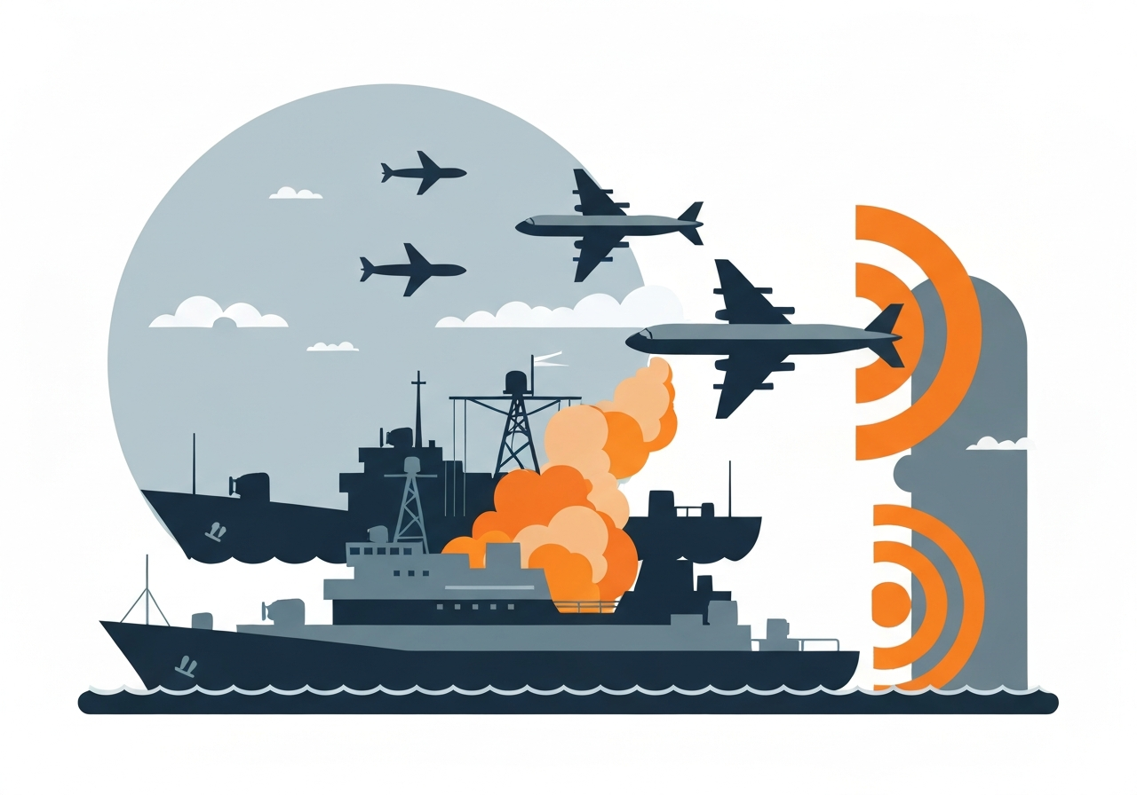
Lead: Within 24 hours of the first US-Israeli strikes on Iran, navigation systems on ships operating in the region reported wildly incorrect positions — some vessels appeared to be at airports, a nuclear plant or on Iranian soil. Analysts attribute the disruption to widespread jamming and spoofing of Global Navigation Satellite System (GNSS) signals, a tactic used to blunt drone and missile guidance. Windward reported more than 1,100 commercial ships impacted in UAE, Qatari, Omani and Iranian waters on February 28, and other maritime data firms have logged thousands of related events since the conflict began. The interference has already slowed traffic through the Strait of Hormuz, a waterway that handles about 20% of the world’s oil and gas exports.
Key Takeaways
- Windward identified disruptions to navigation on over 1,100 commercial ships in UAE, Qatari, Omani and Iranian waters on February 28, 2026.
- Lloyd’s List Intelligence logged 1,735 GNSS interference events affecting 655 vessels between the war’s start and March 3, 2026; typical events lasted three to four hours.
- Daily GNSS incidents in the region rose from about 350 at the conflict’s outset to 672 by March 2, 2026, more than doubling in days.
- The Strait of Hormuz — responsible for roughly 20% of global oil and gas exports — experienced slowed traffic and near-halt movements amid attacks and insurers withdrawing coverage.
- Aircraft events involving loss of positioning signals rose 220% globally between 2021 and 2024, according to IATA data, raising aviation safety concerns in contested airspace.
- Commercial navigation systems reported false positions on land (often airports or bases) and geometric ‘crop circle’ patterns on AIS maps, typical indicators of spoofing.
- Alternative navigation tools exist (radar, inertial systems, visual watch, celestial navigation), but many crews and pilots are less practiced with them and retrofits are costly and slow.
Background
GNSS services — including the US GPS, EU Galileo, China’s BeiDou and Russia’s GLONASS — broadcast open civilian signals that receivers use to calculate position and precise time. Those civil signals are relatively weak after traveling some 20,000 kilometers from orbit, making them vulnerable to stronger local transmissions that jam or spoof the signal. Military-grade GNSS links historically included authentication, but until recently civilian users had few options to verify a signal’s integrity.
Interference with GNSS is not new. The tactic became prominent during the 2022 Russian invasion of Ukraine, where large drone deployments drove routine use of jamming and spoofing near battlefields. Analysts now describe such interference as endemic in certain theatres — the Baltic, the Black Sea and parts of the Middle East — where so-called grey-zone operations are frequent and actors seek to degrade adversary sensors without overt escalation.
Main Event
In the opening day of US-Israeli strikes on Iran, vessels in nearby waters experienced abrupt navigation anomalies. Windward’s automated systems and AIS maps showed many ships’ electronic positions jumping to fixed terrestrial sites such as airports or military bases — classic signs of GNSS spoofing — while other vessels briefly lost satellite-derived fixes due to jamming. Some tankers reversed course or ceased AIS broadcasts (“going dark”), increasing collision and security risks in congested corridors.
Maritime traffic through the Strait of Hormuz, where tight navigation and traffic separation are essential, slowed dramatically as operators assessed risk and insurers curtailed coverage. The region has also seen physical attacks on vessels, compounding operational uncertainty. Lloyd’s List Intelligence and Windward reported rapidly rising incident counts in the first days of the conflict — an escalation both firms described as unprecedented in scale for the region.
Aircraft operating in or near the affected areas also reported positioning irregularities. One high-profile instance involved a flight carrying European Commission President Ursula von der Leyen in September (date preserved from reporting), when GPS jamming affected the approach to a Bulgarian airport and crews reverted to paper navigation. Pilots report map shifts of up to a mile, false altitude cues and misidentified ground positions — anomalies that increase pilot workload and can occur at critical phases of flight.
Analysis & Implications
Operationally, GNSS interference converts a modern maritime and aviation environment — heavily reliant on satellite positioning for navigation, safety and timing — into a more hazardous space. On contemporary ships, many systems beyond primary navigation depend on GNSS-derived position, velocity and time; life-saving personal locator beacons and safety kit transmissions may be mislocated within spoofed zones, complicating rescue operations.
Economically and logistically, sustained GNSS disruption in the Gulf would reverberate through global energy markets and supply chains. The Strait of Hormuz moves roughly 20% of oil and gas exports; prolonged slowdowns or route diversions raise shipping costs, insurance premiums and the risk of cargo delays. Insurer pullback already observed in the early days of the conflict demonstrates how quickly commercial risk assessments can change.
Technically, mitigating spoofing and jamming requires investment: authenticated signals, anti-spoofing receivers, jamming-resistant antennas and redundant inertial systems can reduce vulnerability, but retrofitting global fleets and civil aviation is costly and time-consuming. Quantum and other novel navigation technologies promise independence from GNSS but remain years from operational maturity.
Comparison & Data
| Source | Metric | Count / Change |
|---|---|---|
| Windward (shipping intelligence) | Commercial ships impacted on Feb 28, 2026 | >1,100 ships |
| Lloyd’s List Intelligence | Interference events (start of war–Mar 3, 2026) | 1,735 events affecting 655 vessels |
| Lloyd’s List Intelligence | Daily incidents | From ~350 to 672 (by Mar 2, 2026) |
| IATA (aviation) | Aircraft GNSS loss events (2021–2024) | +220% |
These figures show both episodic large-scale disruptions and a steady upward trend in reported GNSS problems. Typical maritime interference events lasted three to four hours, but repeated or overlapping events raise cumulative operational risk. The geographic clustering of incidents near shorelines and known military sites supports the interpretation that many events are deliberate, not accidental.
Reactions & Quotes
Analysts and practitioners have sounded urgent warnings about the operational dangers.
“What we’re seeing in the Middle East Gulf at the moment is extremely dangerous for maritime navigation,”
Michelle Wiese Bockmann, Senior Maritime Intelligence Analyst, Windward
Windward said interference forced tankers to reverse course or go dark, undermining AIS-based collision avoidance and prompting immediate commercial responses such as insurers reevaluating cover in the area.
“We’ve known for decades that the signals that civilians rely on from space are vulnerable to jamming and spoofing. It’s just that it’s never been this serious a problem before,”
Ramsey Faragher, CEO and Director, Royal Institute of Navigation
Faragher has coauthored research on GNSS interference and emphasized that the proliferation of small, GPS-guided drones has normalized use of GNSS disruption in conflict, increasing collateral risk to civilian traffic.
“Cockpits are seeing their navigation displays literally drift away from reality,”
Anonymous commercial pilot (not authorized to speak publicly)
A commercial pilot described map shifts of up to a mile and false altitude cues, noting crews must revert to manual navigation under increased workload during critical phases of flight.
Unconfirmed
- Whether the GPS jamming that affected President von der Leyen’s flight in September was deliberate or accidental has not been independently verified; the Kremlin denied involvement and no conclusive attribution was released.
- The precise role of GNSS interference in the June 2025 collision between tankers Adalynn and Front Eagle off the UAE coast remains unresolved; operators described the incident as navigational but investigations have not publicly attributed causation to jamming.
- Attribution of many regional interference clusters to specific state actors or militias remains unconfirmed; monitoring groups have identified patterns but definitive forensic attribution is limited in open reporting.
Bottom Line
The Iran war has exposed how rapidly tactical use of GNSS jamming and spoofing can spill into broader commercial and civil risk. Navigation outages and false positions are not just nuisance anomalies: they create collision hazards, complicate search and rescue, and disrupt a critical energy transit chokepoint, with immediate commercial and geopolitical consequences.
Mitigation is possible but costly. Upgrading fleets and aircraft with authenticated receivers, anti-spoofing hardware and resilient inertial backups reduces vulnerability, but adoption will be incremental. In the near term, operators must combine procedural mitigations — conservative routing, restored watchkeeping disciplines, and contingency planning — with investment in technology to prevent future incidents from cascading into larger humanitarian or economic crises.