
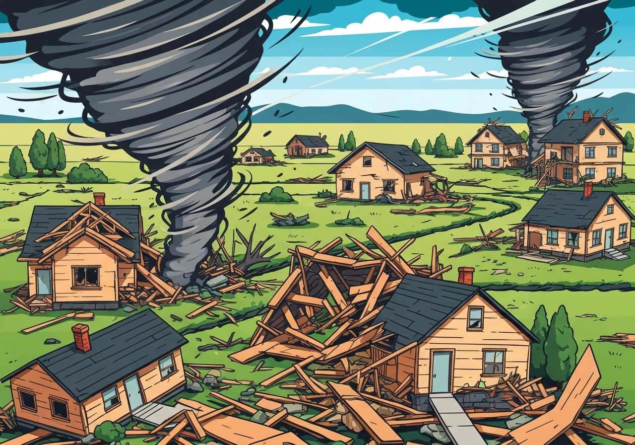
Lead: On the night of March 10 into the early hours of March 11, 2026, a line of severe thunderstorms swept across the central United States, producing tornadoes, very large hail and flash flooding. Communities in Indiana and Illinois reported the most severe damage, with multiple homes destroyed in Lake Village, IN, and extensive damage near the Kankakee Fairgrounds and Aroma Park, IL. The National Weather Service’s Storm Prediction Center said more than 4 million people were under tornado watch at midnight Eastern time, and emergency services remain active as crews search for injuries and clear roads.
Key Takeaways
- More than 4 million people were under a tornado watch at midnight Eastern on March 11, per the NWS Storm Prediction Center.
- Newton County, Indiana, reported multiple homes destroyed in Lake Village; roughly 2,300 customers—about 44% of the county—lost power.
- Kankakee County, Illinois, saw a large tornado near the fairgrounds and Aroma Park, with reports of entire roofs torn off and uprooted 12-inch trees; about 7,000 customers (≈14% of the county) experienced outages.
- A tornado emergency was issued for Knox, Indiana, for a confirmed large, destructive tornado moving east at 30 mph; other tornado reports came from Wheatfield, IN, Hopkins Park and Pontiac, IL, and near Clyde, TX.
- Storms produced exceptionally large hail—spotter reports include 5.2-inch, 4.5-inch and multiple 3–3.5-inch stones—alongside reports of baseball- to grapefruit-sized hail across several states.
- Flash flooding inundated parts of Grand Rapids, MI, with a trained spotter reporting 6–10 inches of water covering I-196 at Exit 76 and multiple stranded vehicles.
- Unseasonably warm temperatures and elevated Gulf of Mexico sea-surface temperatures contributed to the unstable environment that fueled the storms.
Background
Severe weather in the central United States in early March is not unprecedented, but the intensity and breadth of the March 10–11 event were amplified by unusually warm air masses and abundant moisture. Meteorologists cite an anomalously warm March day—record highs in multiple locations, including an 80°F reading in New York City’s Central Park—combined with elevated Gulf of Mexico surface temperatures that increased low-level humidity and instability.
When strong upper-level dynamics align with this heat and moisture, supercell thunderstorms and fast-moving convective lines can produce tornadoes, very large hail and intense downpours. The Storm Prediction Center and local National Weather Service offices issued coordinated watches and warnings as the line of storms advanced east-northeast across plains and Midwest states on March 10 into March 11.
Main Event
Officials in Newton County, Indiana, said Lake Village received a direct hit from tornado-strength winds late on March 10. Local emergency managers reported multiple residences destroyed and substantial debris across roadways; North Newton Junior High School was opened to house people who needed immediate shelter and transportation was arranged for those seeking refuge.
In Kankakee County, Illinois, law-enforcement officials and storm spotters described a large tornado that tracked northeast from near the county fairgrounds, across the Kankakee River and into Aroma Park, leaving extensive structural damage in its path. Deputies canvassed neighborhoods to search for injuries and warned residents to limit travel because of downed trees and power lines, while the county’s 911 center experienced a surge in calls.
Further reports from the night included a tornado emergency issued for Knox, Indiana, where a confirmed large, destructive tornado was reported moving east at about 30 mph. A tornado was also noted in Wheatfield, Indiana; spotters and storm chasers recorded tornadoes or possible tornadoes in parts of Illinois and Texas. In Clyde, Texas, chasers reported a tornado and baseball- to grapefruit-sized hail in the area.
Hail reports were widespread and exceptional. Trained spotters and storm chasers reported hailstones up to 5.2 inches in Kankakee, 4.5 inches near Camp Wood, Texas, and multiple reports of 3–3.5-inch hail in Missouri and Illinois. Those sizes are capable of causing severe structural and vehicle damage, which local officials said they anticipated as damage assessments continued.
Analysis & Implications
The late-night timing of several tornadoes heightened the threat to communities. Nighttime tornadoes are more dangerous because people are often asleep and visual cues—such as rotating clouds and debris—are much harder to see. Emergency managers rely on alerts, sirens and media to reach residents, but outages and overwhelmed communications centers can delay warnings and response.
Power outages reported across counties complicate both immediate rescue and longer-term recovery. In Newton County, about 44% of customers lost electricity; in Kankakee County roughly 14% were without power. Restoring power and clearing blocked roads will be critical to delivering medical aid, re-establishing communications and beginning rebuilding work.
From a forecasting perspective, the event underscores how early-season warmth and elevated Gulf sea-surface temperatures can extend the severe-weather window. Regions that often see peak tornado activity later in spring can face significant severe-weather events when anomalous warmth arrives early. That raises questions for emergency planners about readiness and resource staging outside the traditional peak season.
Comparison & Data
| Measure | Reported Value | Location |
|---|---|---|
| People under tornado watch | >4,000,000 | Central U.S. (midnight ET, Mar 11) |
| Electric customers without power | ~2,300 (44% of county) | Newton County, IN |
| Electric customers without power | ~7,000 (14% of county) | Kankakee County, IL |
| Largest reported hail | 5.2 inches | Kankakee, IL (spotter photo) |
| Road flood depth | 6–10 inches | I-196 Exit 76, Grand Rapids, MI |
The table summarizes key verified measurements from overnight reports and spotter observations. These values highlight the event’s multi-hazard nature—simultaneous tornadoes, extreme hail and flash flooding—which stresses different parts of the emergency-response system at once.
Reactions & Quotes
Local officials and emergency personnel provided immediate situational updates while urging caution. Newton County leaders emphasized that residents should avoid damaged areas to allow first responders to operate.
“Lake Village took a direct hit, please stay away from the area.”
Rob Churchill, Lake Township Fire Chief
The county sheriff described widespread damage and warned residents about downed lines and blocked roads as crews worked to check on people and clear hazards.
“Let the first responders do what they need to do; there’s a lot of damage.”
Sheriff Shannon Cothran, Newton County
National and local weather experts noted the storm environment and warned of additional overnight threats. Spotters and meteorologists cautioned the public about large hail and potential further tornado development.
“There’s going to be some very significant damage reported—these storms are producing giant hail.”
Alan Gerard, meteorologist (Balanced Weather Substack)
Unconfirmed
- Social media posts claiming fatalities in Kankakee County were refuted by the sheriff’s office and remain unverified by official sources.
- Several reported tornado touchdowns in outlying areas were still being assessed by NWS spotters and local officials at the time of reporting.
- Some hail-size reports are preliminary and based on storm-chaser photos or spotter estimates pending formal confirmation by the weather service.
Bottom Line
This March 10–11 severe-weather outbreak delivered multiple hazards—tornadoes, very large hail and flash flooding—across a broad portion of the central United States, with concentrated damage in parts of Indiana and Illinois. The combination of early-season warmth and abundant Gulf moisture created a volatile atmosphere, increasing the severity of storms and expanding the geographic footprint of impact.
Immediate priorities are search and rescue, restoring power and clearing transportation routes so relief can reach affected communities. In the coming days, damage assessments and after-action reviews will be essential to understand structural impacts and to inform preparedness for an increasingly variable severe-weather season.