
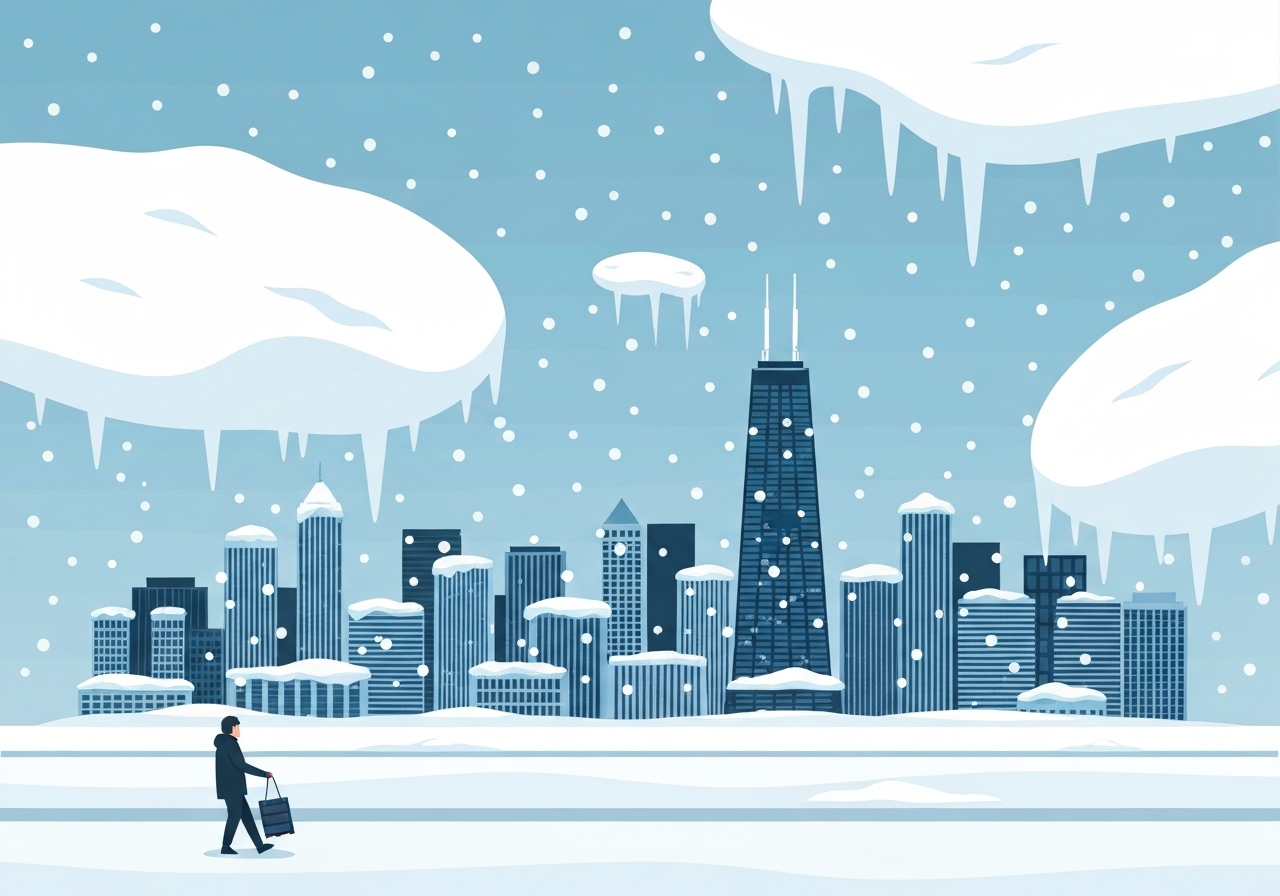
Lead: A potent lake-effect snowstorm battered the Chicago metropolitan area and Northwest Indiana in the early hours of Nov. 10, 2025, producing heavy, often blinding snow and hazardous travel. Winter Storm Warnings were active for large portions of Cook County and parts of Indiana while some Chicago zones were downgraded to advisories by 5:00 a.m. CST. Airports and surface transportation suffered major disruptions as snowfall rates and strong gusts combined to create near-zero visibility in several corridors. City crews and state police warned commuters to expect significant delays and to avoid nonessential travel.
Key Takeaways
- Winter Storm Warnings remained in effect for much of the Chicago area and Northwest Indiana on Nov. 10, 2025, with select locations under advisories after early-morning adjustments.
- Snowfall rates reached 1–3 inches per hour in intense bands; some north suburbs saw 1–2 inches per hour around 4:30 a.m.
- Accumulations were widely forecast at 4–6 inches, with localized 8–10 inch amounts and isolated 12–14 inch pockets, especially near and just inland from the lake shore.
- Wind gusts peaked near 50 mph in southern Cook County and Northwest Indiana, compounding travel danger by producing blowing snow and whiteouts.
- O’Hare reported 239 canceled flights for the morning schedule; Midway reported 130 cancellations as operations were disrupted overnight.
- Chicago deployed more than 250 salt spreaders and prioritized DuSable Lake Shore Drive and arterial routes; express buses were suspended on Lake Shore Drive early Monday.
- State police reported numerous vehicles in ditches on I-57 (south of Chicago) and I-65 (Indiana); officials urged motorists to carry supplies if travel was unavoidable.
Background
The event was driven by a mesolow that passed through the region overnight into Monday, enhancing lake-effect dynamics on a relatively cold shallow airmass over warm lake waters. Lake Michigan often fuels narrow but intense snow bands in late fall; this storm followed that familiar pattern but arrived earlier than typical for heavy lake-effect events. Local forecasting offices had warned of rapidly changing conditions and high snowfall rates in concentrated bands, which complicate road treatment and response.
Chicago and adjacent Indiana counties maintain tiered alert systems—warnings for life-threatening conditions, advisories for lesser but still disruptive impacts—and authorities frequently adjust those products as band placement evolves. Public agencies from city sanitation crews to state police coordinate prepositioning of equipment (plows, salt spreaders) and messaging for commuters, but rapid-onset, high-rate lake-effect bursts can still produce localized extremes that outpace response capacity.
Main Event
The first measurable snow began after 8:00 p.m. Sunday and intensified through the night with embedded thunder and localized intense snow bands. By 4:30 a.m., the north suburbs from Kenosha, Wisconsin, through Lake County were experiencing heavy snow falling at 1–2 inches per hour; other areas reported brief lulls as bands shifted. Downtown Chicago experienced intermittent reductions in intensity, but meteorologists cautioned further lake-enhanced bursts would affect the city later in the morning.
Southern Cook County and adjacent Northwest Indiana saw the most extreme conditions, with double-digit total accumulations and wind gusts near 50 mph that produced significant blowing and drifting. Visibility on several expressways dropped to near-zero, and crews reported many vehicles sliding off roadways or becoming stranded, particularly on poorly lit stretches of I-65 and I-57.
O’Hare International Airport closed to non-scheduled and general aviation overnight; when scheduled operations were preparing to resume for the morning, 239 flights had already been canceled at O’Hare and 130 at Midway. Transit agencies curtailed service on impacted routes early Monday, including a suspension of express buses on DuSable Lake Shore Drive as crews prioritized arterial clearing.
Analysis & Implications
Lake-effect snowstorms are inherently localized, which makes forecasting and response resource-intensive. The mesolow’s track and the thermal contrast with Lake Michigan produced narrow bands where snowfall rates exceeded 1–2 inches per hour—rates that can quickly overwhelm untreated pavement and lead to life-threatening travel conditions. Urban corridors with high traffic volumes and limited shoulders, such as Lake Shore Drive, become particularly vulnerable to rapid closures and cascading delays.
Economically, airport cancellations and highway closures create ripple effects through business travel, freight movement and commuter patterns. The cancellation figures—239 at O’Hare and 130 at Midway—reflect both preemptive airline actions and operational limits once visibility and runway conditions deteriorated. For employers and supply chains, even a single morning of widespread stoppage imposes measurable costs.
From a public-safety perspective, the combination of heavy snow and gusty winds increases the risk of multi-vehicle incidents and long-duration strandings. Recommendations such as carrying water, food and blankets are standard but essential; emergency responders emphasize that being prepared can reduce casualties when travelers become trapped for extended periods. Municipal fleets can maintain primary arterials, but localized deep drifts can still isolate neighborhoods until plows can reach them.
Comparison & Data
| County/Area | Alert Type | Effective Through | Expected Accumulation |
|---|---|---|---|
| Cook County (central, incl. Chicago) | Winter Weather Advisory / Warning (varies) | Warning downgraded to Advisory for central Cook ~5:00 a.m.; Warning elsewhere through noon Mon. | 4–6 in typical; local 8–10 in; isolated 12–14 in |
| Lake & Porter Counties, IN | Winter Storm Warning | Through 6:00 p.m. Monday | Localized double-digit totals reported |
| LaPorte County, IN | Winter Storm Warning | In effect since midday Sunday until midnight Tuesday | Several inches; localized higher amounts |
| Kankakee County, IL | Winter Storm Warning | Begins midnight Monday through noon Monday | 4–6 in typical; localized higher |
The table summarizes the principal advisory/warning footprints and timing. Because lake-effect bands can shift tens of miles in a short period, local accumulations varied substantially from neighborhood to neighborhood; emergency operations therefore focused on major corridors and hospitals while advising residents to limit travel.
Reactions & Quotes
Indiana State Police emphasized caution to anyone considering travel Monday morning, advising extra time and preparedness due to hazardous road conditions.
“Don’t plan on getting to where you’re going anytime soon. Expect it to take extra time to get where you’re going.”
Indiana State Police Sgt. Glen Fifield (official)
Fifield also urged motorists to carry essentials and to remain in their vehicles if involved in crashes, noting roadside exposure can be deadly during whiteout conditions.
“If you end up in a crash, stay in your vehicle until first responders arrive; getting out on the expressway can be dangerous and even deadly.”
Indiana State Police Sgt. Glen Fifield (official)
City sanitation officials outlined deployment of plows and salt spreaders as part of an overnight effort to keep major routes passable and clear emergency access ways.
Chicago deployed over 250 salt spreaders and prioritized DuSable Lake Shore Drive and arterial routes to maintain emergency access.
Chicago Department of Streets and Sanitation (official)
Unconfirmed
- Reports of exact, block-by-block accumulations remain incomplete; localized 12–14 inch reports are based on spot measurements and may not reflect broader areas.
- Initial counts of stranded vehicles on some rural stretches are preliminary and awaiting final incident reports from state police and county sheriffs.
Bottom Line
The Nov. 10, 2025 lake-effect event produced concentrated, high-rate snowfall and strong gusts that created dangerous, sometimes life-threatening travel conditions across parts of the Chicago region and Northwest Indiana. While some central Chicago areas were downgraded to advisories by early morning, the overall risk remained high where intense bands persisted.
Commuters should treat advisories and warnings seriously: avoid nonessential travel, carry supplies if travel is unavoidable, and expect significant delays to airports, expressways and transit services. Agencies will continue to adjust warnings as band placement evolves; residents should monitor official channels for updated timing and road-condition information.
Sources
- CBS Chicago — Local news report and forecast (regional news)
- Chicago Department of Streets and Sanitation — Official city operations (official)
- Illinois State Police / Indiana State Police statements compiled in reporting (official)
- Chicago Department of Aviation — O’Hare and Midway operational notices (official)