
Lead
Atmospheric shifts this week raise the prospect that the weeks after Thanksgiving will be colder and, in places, snowier than usual across parts of the United States. Scientists point to a disruption in the polar vortex — the band of strong winds circling the poles — as the primary driver. Forecasters say this disturbance, combined with a weak La Niña pattern, increases the chance of below‑average temperatures from late November into December. The outcome could range from brief cold snaps to multiweek influences on surface weather, including enhanced lake‑effect and heavy snow risk around the Great Lakes.
Key Takeaways
- Polar vortex disruption: A disturbance in the polar vortex is underway and could allow Arctic air to move southward toward North America in the weeks after Thanksgiving.
- Sudden Stratospheric Warming (SSW) odds: SSWs occur about once every two winters, but only one to two major late‑November events appear in the record back to 1958.
- NOAA outlook: Long‑range guidance from NOAA’s Climate Prediction Center favors below‑average temperatures across much of the contiguous U.S. from late November into December.
- La Niña influence: A weak La Niña and Pacific atmospheric patterns are tilting odds toward a colder December for parts of North America, according to university researchers.
- Snow potential: The altered pattern raises the potential for heavier snow, especially lake‑effect events along the Great Lakes and increased winterlike conditions in the central U.S.
- Timing and magnitude uncertain: Disturbances in the stratosphere can take weeks to affect the surface, and not every disruption produces a major cold outbreak at ground level.
Background
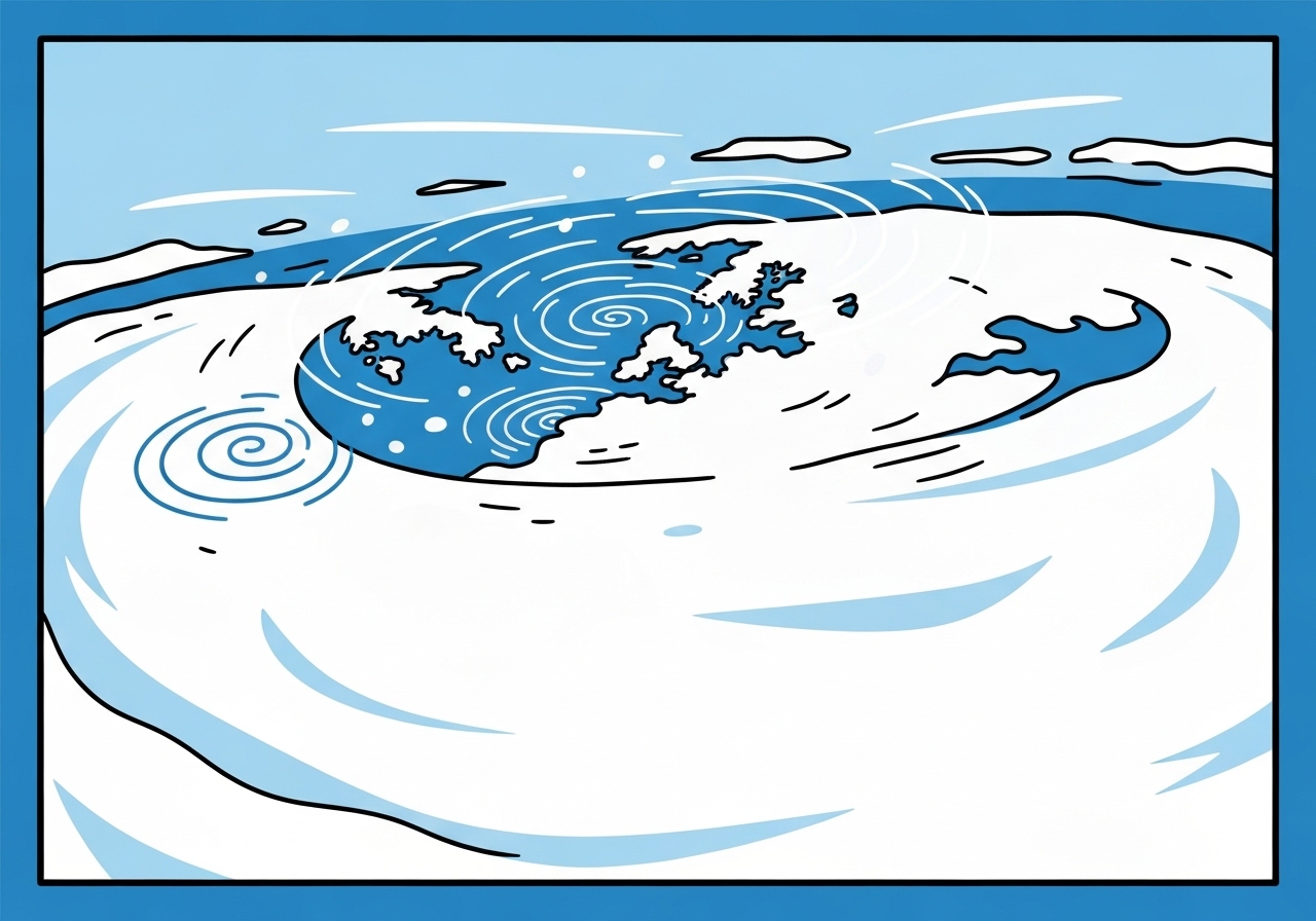
The atmosphere is layered; most day‑to‑day weather occurs in the troposphere, while the stratosphere sits above it. Circling both poles is a band of strong, mid‑level winds known as the polar vortex, which normally traps frigid Arctic air near the poles. There are two related circulation features: a tropospheric vortex that commonly modulates winter weather and a stratospheric vortex that contains much colder air but only occasionally couples to surface weather.
When the polar vortex is strong and intact, cold air stays confined to high latitudes. If the vortex weakens or becomes distorted, that cold air can transport south into midlatitudes. One particular mechanism for strong disruption is a sudden stratospheric warming (SSW), a rapid warming event high above the pole that can weaken the vortex and cascade downward over days to weeks.
Main Event
In the current situation, researchers have identified a substantial disturbance in the polar vortex architecture well before the typical peak season. That early‑season disruption is unusual: dataset records since 1958 show only one to two major late‑November events. Because there are few close historical analogs, forecasters say confidence in exact timing and regional impacts remains limited.
Operational centers such as NOAA’s Climate Prediction Center have incorporated the stratospheric signal and Pacific background patterns into long‑range outlooks. The resulting probabilistic guidance favors below‑average temperatures for large portions of the United States from the end of November through December, though that reflects average conditions over the interval rather than day‑to‑day swings.
Mechanistically, a weakened polar vortex or an SSW can allow cold, Arctic air to spill outward and southward. If that cold air encounters moist, storm‑producing systems or the Great Lakes’ relatively warm waters, the result can be amplified snowfall locally — including intense lake‑effect snow bands.
Analysis & Implications
A polar vortex disruption of this timing raises several practical and societal questions. Energy demand is likely to rise if widespread cold settles in for multiple days or weeks, stressing heating systems and fuel supply chains regionally. Utilities and emergency managers will be watching forecasts closely to prepare for higher load and potential outages.
Agriculture and transport could also feel effects: sudden freezes or prolonged cold in late November would affect harvest‑season logistics and road safety ahead of the winter season. Regions that are not climatologically adapted to early deep cold may see disproportionate impacts on outdoor infrastructure and supply delivery.
From a climate research perspective, events like this test predictive models. An SSW or major vortex displacement that unfolds over weeks gives forecasters lead time, but the relationship between stratospheric anomalies and surface weather is probabilistic. Some past SSWs led to large, sustained cold outbreaks in North America and Eurasia, while others had limited surface impact.
Internationally, similar patterns could influence Europe and parts of Asia if the vortex disturbance projects into those longitudes. Because the stratosphere evolves on slower timescales, monitoring over the next 1–3 weeks will be critical to refine regional forecasts and assess snow versus cold‑only scenarios.
Comparison & Data
| Metric | Value |
|---|---|
| SSW frequency | About once every two winters |
| Major late‑November events since 1958 | 1–2 events |
| NOAA long‑range forecast (late Nov–Dec) | Favored below‑average temperatures across much of the U.S. |
The table summarizes the rare nature of major late‑November stratospheric disruptions and the present probabilistic signal from NOAA. Because long‑range outlooks express probabilities over multiweek periods, localized short cold snaps or intervening warm spells can still occur within the broader colder‑than‑normal signal.
Reactions & Quotes
NOAA and academic meteorologists cautioned that while the stratospheric disturbance is clear in model guidance, its translation to surface impacts is not guaranteed and depends on how the pattern evolves. Agencies emphasize monitoring rather than declaring a definitive severe winter.
The stratosphere is showing an early disruption that is uncommon at this time of year; that rarity limits how directly we can map past outcomes to the present situation.
Dr. Judah Cohen, climatologist (MIT / AER)
Researchers also noted the statistical backdrop: SSWs occur roughly every other winter, and major late‑November events are especially scarce in the observational record back to 1958. The timing and strength will control whether the U.S. sees brief cold shots or a longer‑lasting pattern shift.
We see a weak La Niña and Pacific patterns that, combined with the stratospheric signal, elevate the odds for a colder December in parts of North America.
Dr. Jason Furtado, associate professor (University of Oklahoma)
Federal forecasters framed the practical implications: a colder average period raises the chance for more wintry conditions and heavier snow in susceptible regions, especially around the Great Lakes where lake‑effect processes can rapidly amplify snowfall.
These stratospheric events can drive some of our most intense cold outbreaks, but not every disturbance reaches the surface with equal force.
Dr. Amy Butler, Stratospheric Modeling & Analysis lead (NOAA)
Unconfirmed
- The occurrence of a full sudden stratospheric warming that will definitively force a major, multiweek cold outbreak at the surface is not yet confirmed.
- Exact regional snowfall amounts and which cities will experience heavy snow remain uncertain and will depend on storm placement and timing.
- Whether the disruption will produce sustained cold across all of the central and eastern U.S., versus short cold snaps interspersed with milder periods, is unresolved.
Bottom Line
Models and observational indicators suggest a notable disruption to the polar vortex that could translate into below‑average temperatures for much of the United States from late November into December. Combined with a weak La Niña, the signal points to a higher-than‑normal chance of cold and an elevated risk of heavier snow in vulnerable areas, particularly the Great Lakes.
However, uncertainty about the timing, magnitude and surface coupling of the stratospheric disturbance means forecasters will refine projections over the coming days and weeks. Residents, utilities and emergency planners in potentially affected regions should monitor official forecasts from NOAA and local weather services for updates and prepare for possible cold snaps and localized heavy snow events.
Sources
- ABC News — News report summarizing current forecasts and expert interviews (news).
- NOAA Climate Prediction Center — Long‑range temperature and precipitation outlooks (official federal agency).
- Atmospheric and Environmental Research (AER) / JANUS Research Group — Seasonal forecasting group and research (private research organization).
- University of Oklahoma, School of Meteorology — Academic analysis and expert commentary (academic).