
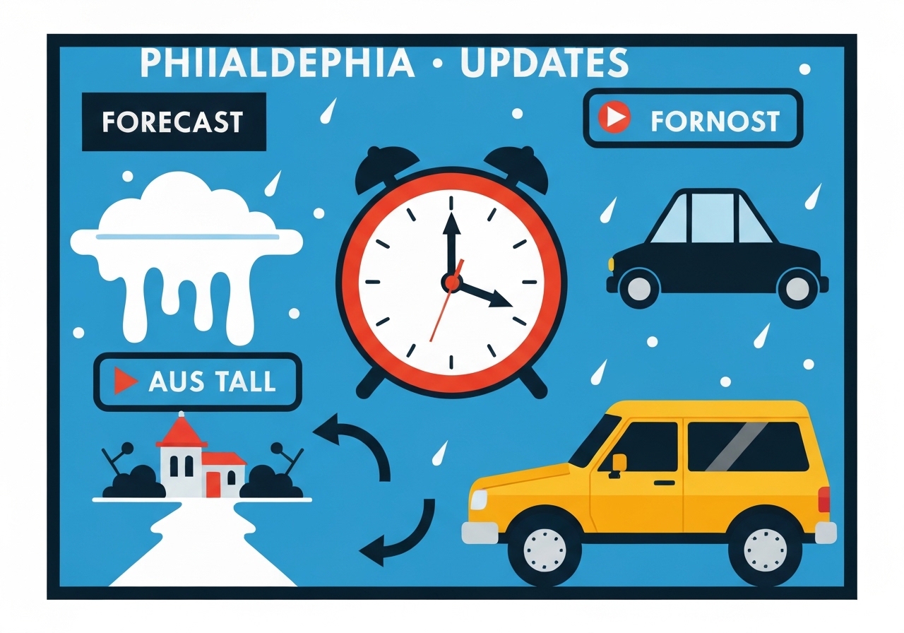
Lead: A major winter storm moved across the Philadelphia region this weekend, part of a system affecting roughly 180 million Americans. The National Weather Service reported heavy snow, sleet and freezing rain with 20–30 mph gusts, creating dangerous travel and isolated power outage risks. Snow transitioned to sleet and ice in parts of the I‑95 corridor Sunday afternoon, and a Winter Storm Warning remained in effect through 1 p.m. Monday. After the storm, a prolonged period of well‑below‑normal temperatures and single‑digit wind chills is expected into next weekend.
Key Takeaways
- About 180 million people across the U.S. were affected by snow, sleet or freezing rain, according to the National Weather Service.
- Philadelphia saw notable accumulations: Philadelphia Int’l Airport 7.4 in (1 p.m.), Ben Franklin Bridge 6.6 in (1 p.m.), Rittenhouse Square 5.0 in (11:45 a.m.).
- Local high readings included New Tripoli at 10.5 in (2 p.m.) and several Lehigh/Upper Montgomery County locations reporting 8–9.5 in.
- Ice accumulations of 0.1–0.25 in were possible across the I‑95 corridor, South Jersey and parts of Delaware, raising short‑term outage concerns.
- Winter Storm Warning through 1 p.m. Monday covers parts of eastern Pennsylvania and much of South Jersey; ice around three‑tenths of an inch was forecast in spots.
- Major travel impacts: SEPTA suspended Regional Rail and many bus lines; NJ Transit suspended rail and bus/light‑rail service; most PHL flights for Sunday were canceled and at least 60 Monday flights were listed as canceled.
- Philadelphia declared an Enhanced Code Blue; 24‑hour outreach and all emergency shelter beds are being used to protect people experiencing homelessness.
- PennDOT reduced speed limits to 45 mph on key interstates and Tier 4 vehicle restrictions closed many highways to nonessential vehicles.
Background
The storm was part of a large winter system sweeping much of the continental United States, producing a mix of heavy snow, sleet and freezing rain that extended from the Mid‑Atlantic into interior New England and the Midwest. Meteorologists at the NWS Mount Holly office highlighted the layered precipitation threat—heavy snow switching to sleet and then freezing rain—creating complex accumulations that vary over short distances. That transition raises the chance of downed trees and power lines where ice accumulates atop heavy snow, particularly in suburban and wooded areas.
State and local governments prepared by issuing travel restrictions and emergency declarations. Pennsylvania implemented Tier 4 vehicle restrictions on many interstates and the PA Turnpike, barring commercial vehicles and most passenger traffic on affected roadways. Delaware enacted Level 2 driving restrictions in New Castle and Kent counties, allowing travel only for designated essential workers. Transit agencies and airports scaled back service as crews worked to clear infrastructure and protect riders.
Main Event
Snow moved into the Philadelphia region earlier in the weekend, then began mixing with sleet across Delmarva, South Jersey and the I‑95 corridor Sunday afternoon. Observations and spotter reports recorded several inches across the city and suburbs: Philadelphia International Airport reported 7.4 inches by 1 p.m.; stations in Lehigh and Montgomery counties reported up to 10.5 inches in New Tripoli. 6abc mapping showed Philadelphia may have seen 8–10 inches in some neighborhoods before mixing increased.
As precipitation transitioned to sleet and freezing rain, the NWS warned of gusts between 20 and 30 mph that could bring down weakened limbs and power lines. Ice accumulation forecasts—generally 0.1 to 0.25 inches along the I‑95 corridor, South Jersey and central/northern Delaware—were flagged as enough to cause isolated outages and slippery surfaces. Forecasters and public officials repeatedly urged residents to avoid nonessential travel as road conditions deteriorated.
Transit operations were heavily affected. SEPTA suspended all Regional Rail and bus service for many lines and reduced trolleys; NJ Transit suspended bus, light‑rail and rail services; PATCO shifted to modified, less frequent schedules and warned of longer travel times. Philadelphia International Airport canceled most Sunday departures and listed at least 60 cancellations for Monday; Lehigh Valley International Airport (ABE) closed and canceled Sunday flights entirely.
City services and daily life were disrupted: Philadelphia suspended curbside trash and recycling collection for Monday and shifted the week’s collection schedule, closed administrative buildings to the public, paused in‑person prison visits and excused jurors called for Monday. The School District of Philadelphia closed schools for Monday and prepared to pivot to virtual instruction as needed for the rest of the week.
Analysis & Implications
Layered precipitation events—in which heavy snow transitions to sleet and freezing rain—pose operational challenges for road crews, utilities and transit operators because accumulation type changes maintenance tactics. Snow can be plowed, but sleet and ice require different treatments and are harder to remove, increasing the window of hazardous conditions. The forecasted 20–30 mph gusts amplify tree‑damage risk where limbs are loaded with wet snow and ice.
Transportation impacts are likely to persist beyond the immediate storm window. Tier 4 vehicle restrictions and reduced speed limits were implemented to limit accidents and allow snowplow and emergency operations to proceed. Airports across the nation faced cascading cancellations—FlightAware tallied more than 13,500 cancellations since Saturday, and Cirium reported U.S. departing flight cancellations nearing 29%—which ripple into Monday service and create traveler disruption for days.
Public‑health and humanitarian implications are acute when subfreezing temperatures follow a major storm. Philadelphia’s Enhanced Code Blue activation aims to reduce cold‑exposure risk for people experiencing homelessness by opening shelter capacity and conducting 24‑hour outreach. In addition, prolonged below‑normal temperatures increase the risk of frozen pipes and strain on heating systems, especially where outages occur.
Comparison & Data
| Location | Reported Snow (in) | Observation Time |
|---|---|---|
| Philadelphia Int’l Airport | 7.4 | 1:00 p.m. |
| Ben Franklin Bridge | 6.6 | 1:00 p.m. |
| Rittenhouse Square | 5.0 | 11:45 a.m. |
| New Tripoli, Lehigh County | 10.5 | 2:00 p.m. |
| Reading Regional Airport | 8.4 | 1:00 p.m. |
These point observations illustrate the significant spatial variability across the region: coastal and urban locations tended to report lower totals where mixing occurred earlier, while inland and higher‑elevation sites reported the largest accumulations. The range of measured snowfall underscores the forecasting challenge of precipitation type transitions and localized banding that can produce sharp gradients over short distances.
Reactions & Quotes
Officials and weather services issued stark advisories as conditions evolved, emphasizing safety and preparation.
“Travel will be dangerous to impossible in many areas as heavy snow, sleet and freezing rain combine with strong gusts,”
National Weather Service, Mount Holly (forecast office)
The NWS statement framed the hazard: agencies used the warning window to restrict travel and prioritize clearing routes for emergency and snow‑removal vehicles.
“Enhanced Code Blue measures are in effect to connect people experiencing homelessness with shelter and services around the clock,”
City of Philadelphia (official statement)
City officials described outreach and sheltering steps, encouraging residents to report vulnerable individuals and use warming centers. Transit agencies also urged riders to check service alerts before traveling and to expect delays where service continued.
Unconfirmed
- Whether the ongoing cancellation total will ultimately make Sunday the single largest cancellation event since the pandemic remains subject to final tallies from carriers and airports.
- Full, consolidated county‑level final snowfall and ice totals have not yet been published by state or federal agencies for every reporting site.
- The complete scope and duration of any power outages tied to localized ice accumulations are still being assessed by utility companies.
Bottom Line
The Philadelphia region experienced a complex winter storm that combined heavy snow with sleet and freezing rain, producing dangerous travel conditions, widespread service suspensions and spotty but meaningful ice accumulations. Officials advised residents to stay off the roads while crews focus on clearing major arteries and restoring critical services.
As temperatures plunge well below normal in the days ahead, the community should prepare for prolonged cold, potential lingering outages and continued transit disruptions. Residents should follow official service alerts, heed emergency restrictions, check on vulnerable neighbors and use city resources—including warming centers and outreach—if they or someone they know needs shelter.
Sources
- WHYY (local public media)
- National Weather Service, Mount Holly forecast office (official)
- 6abc (local television partner reporting snowfall totals)
- FlightAware (aviation analytics)
- Cirium (aviation analytics)
- City of Philadelphia (official emergency and Code Blue information)
- SEPTA (transit agency service alerts)